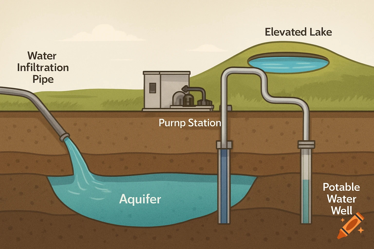
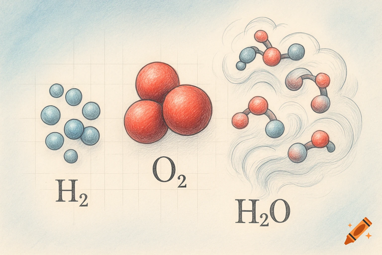
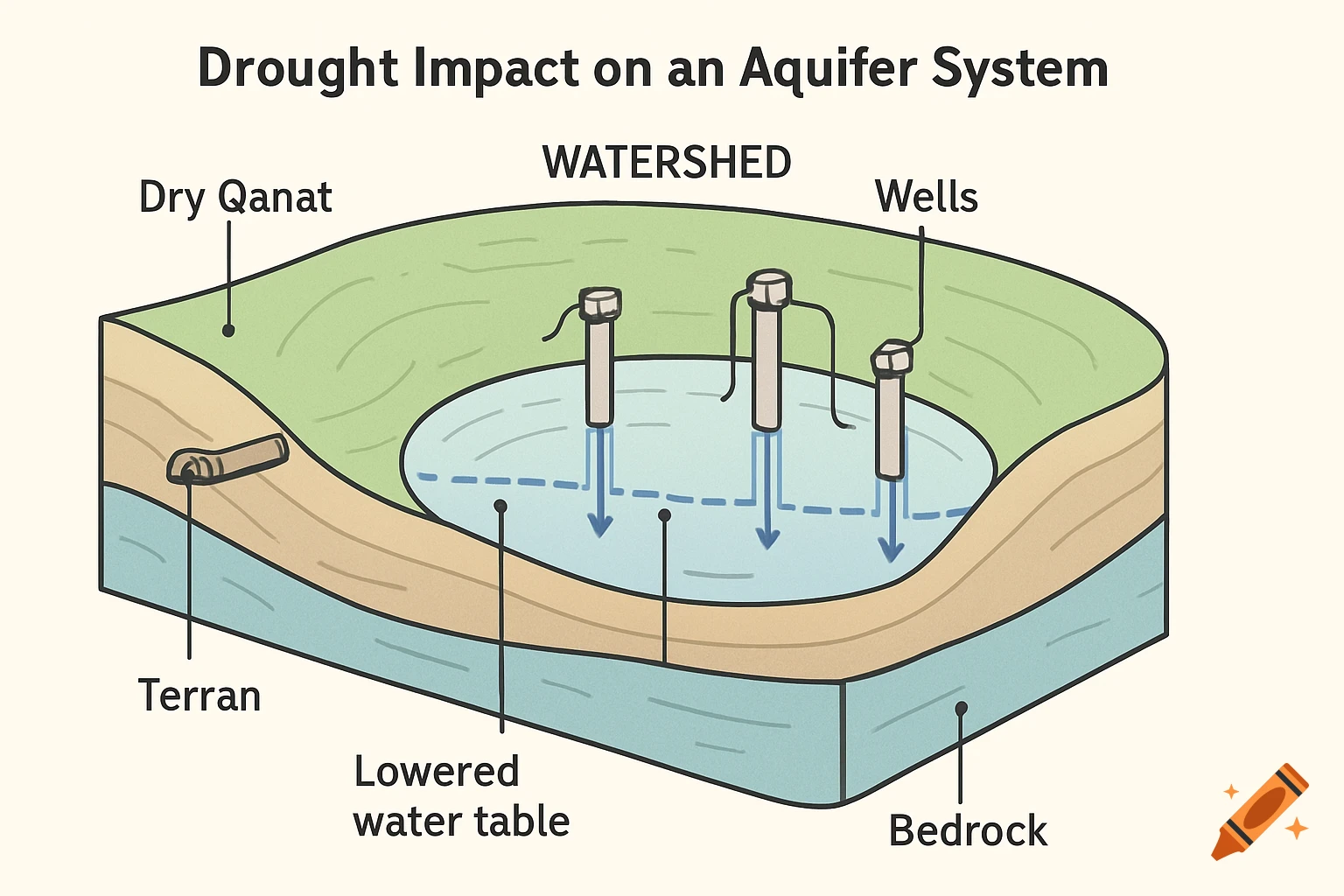
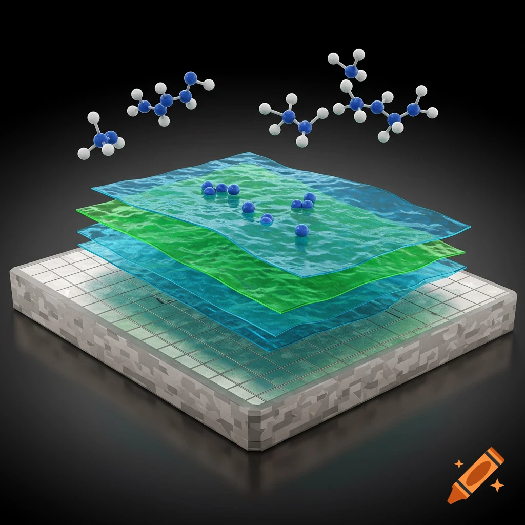
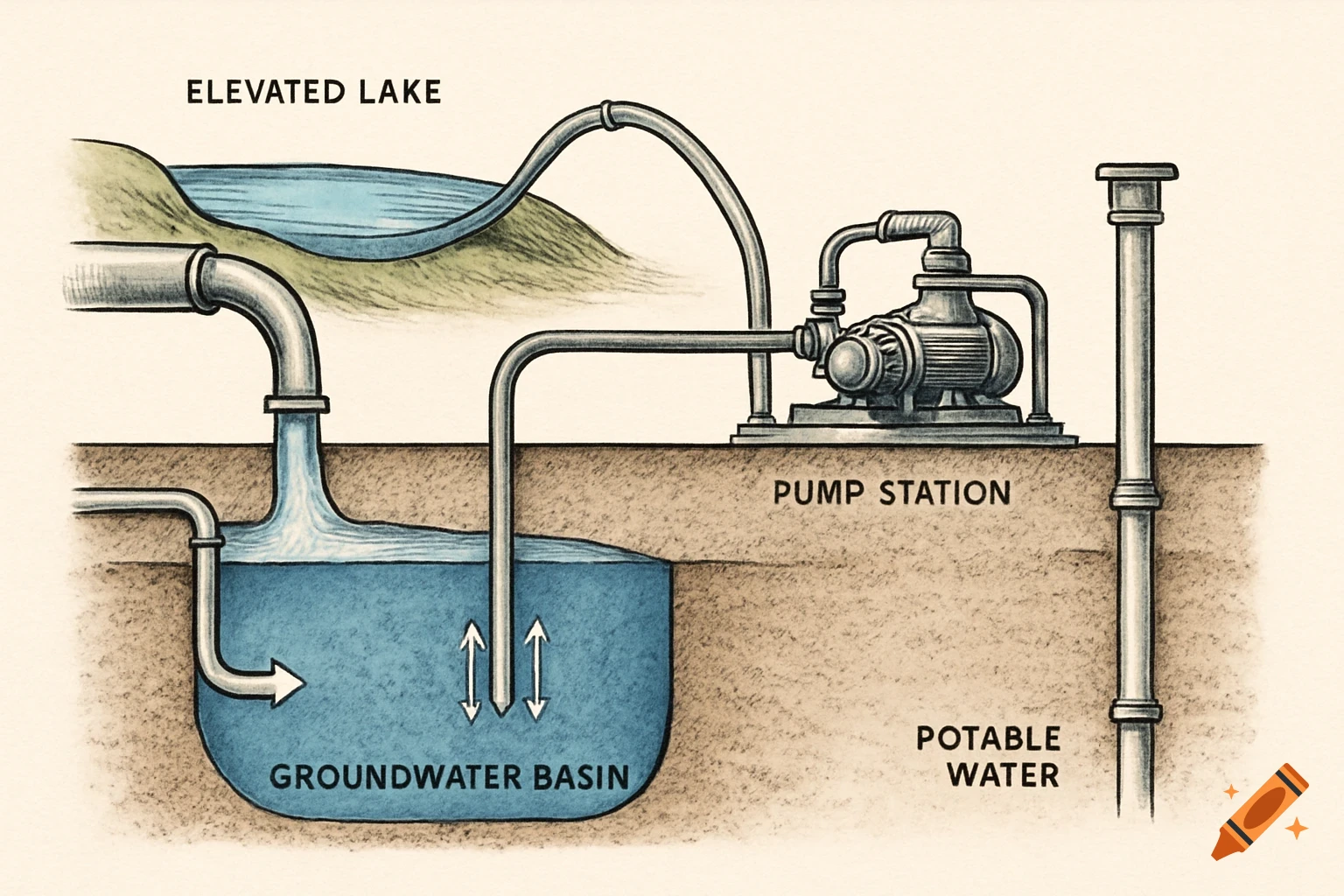
An infographic showing six hydro-geophysics methods: Electrical Resistivity Tomography, Induced Polarization, Towed Transient Electromagnetic, Piezometric Water Levels, Chemical Concentrations (with bar chart and molecular structures), and Lithological Logs.
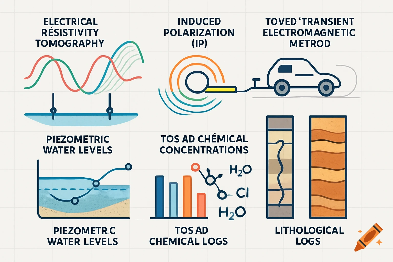
Make a combined, interconnected and interrelated figure of multi hydro-geophysics method for mapping subsurface Anthropogenic perched aquifer. Include figures of 1. Electrical Resistivity Tomography(ERT), 2. Induced Polarization(IP) 3. towed Transient Electromagnetic Method (t-TEM) 4. Piezometric Water Level 5. TDS and Chemical Concentrations 6. Borehole Resistivity Logs 7. Lithological Logs. Generate multiple figures, that should look scientific and search and import icons from the research and internet, Icon can be referenced from uploaded figure. See more