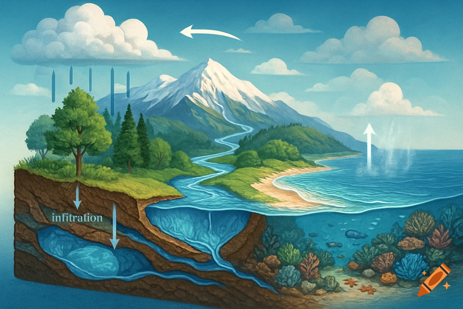
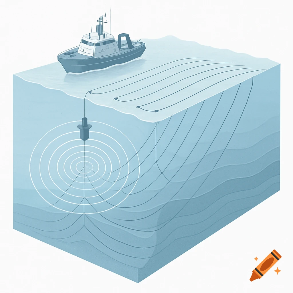
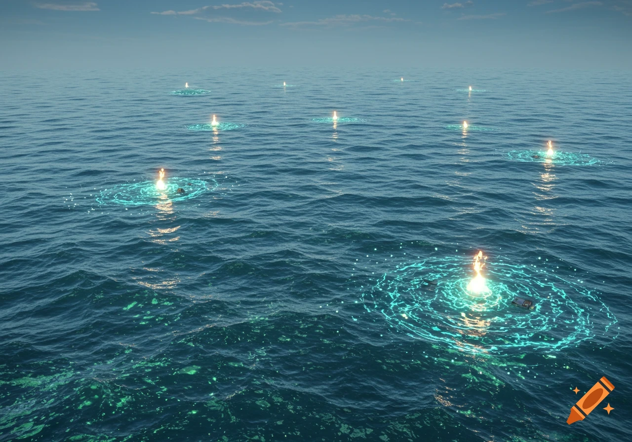
A conceptual diagram showing a cross-section of a coastal aquifer in Kingston Harbour, illustrating fresh groundwater flowing into the sea, forming a brackish mixing zone, and nutrient plumes. Labels indicate various hydrological models.
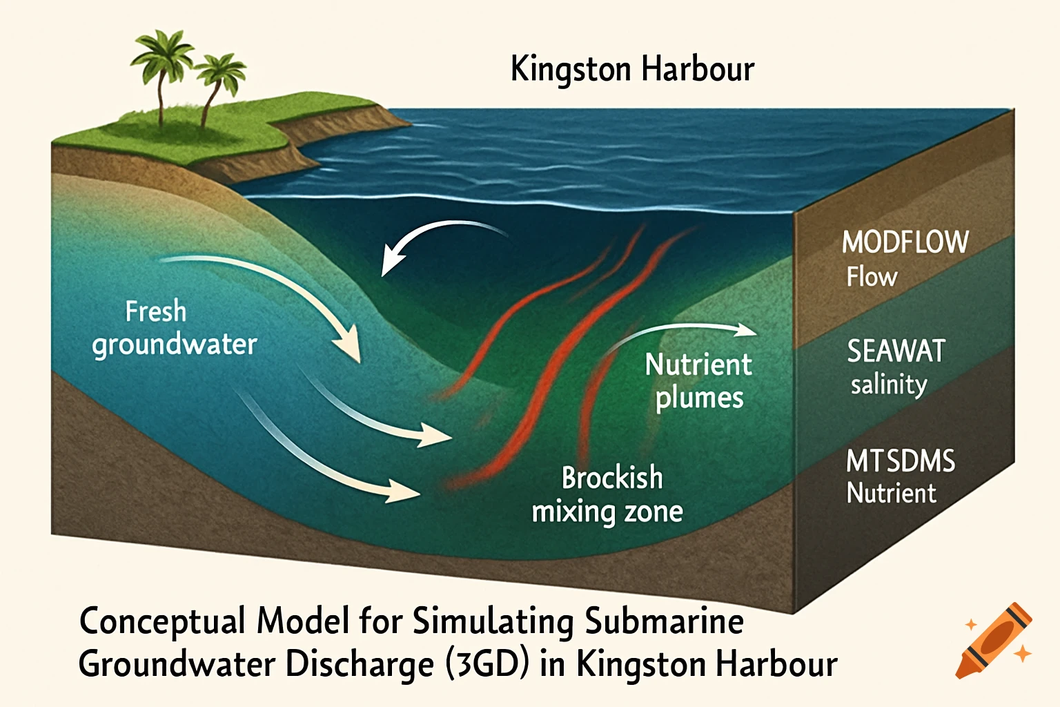
The conceptual model setup for simulating submarine groundwater discharge (SGD) in Kingston Harbour includes a cross-section of the coastal aquifer. It features a freshwater lens overlaying saline water, with arrows indicating recharge from rainfall, horizontal groundwater flow toward the coast, and upward SGD into the harbour. Color gradients represent freshwater (blue), brackish mixing zones (green), and nutrient plumes (red). Labels identify MODFLOW for flow simulation, SEAWAT for salinity gradients, and MT3DMS for nutrient transport. This visual framework supports understanding of SGD dynamics and guides model implementation. See more