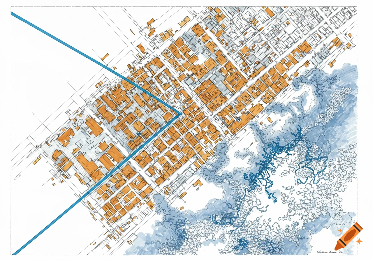
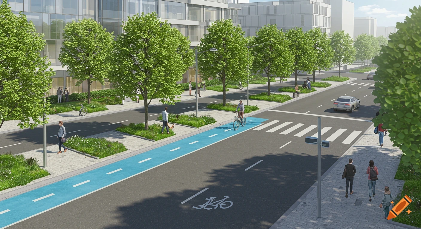
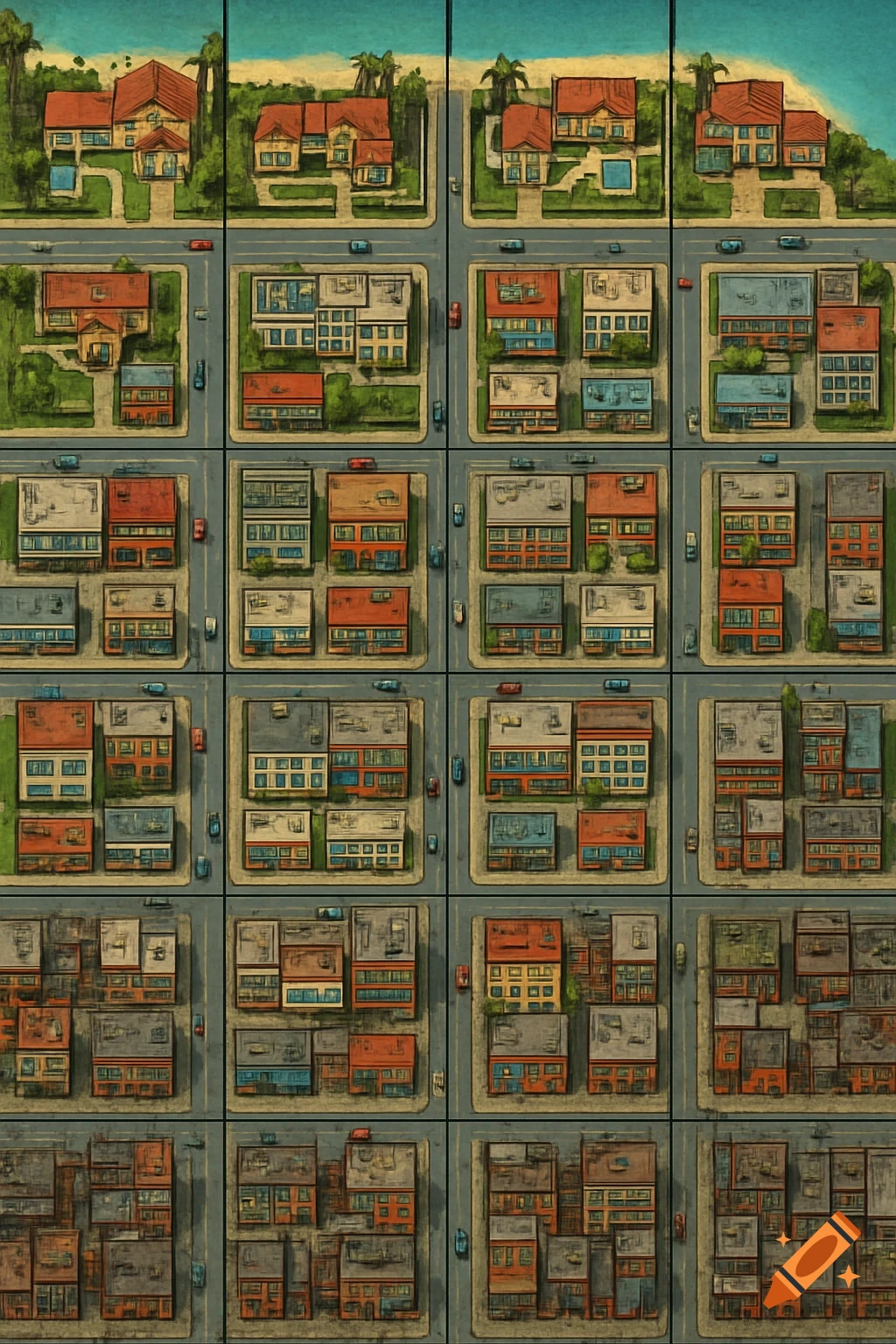
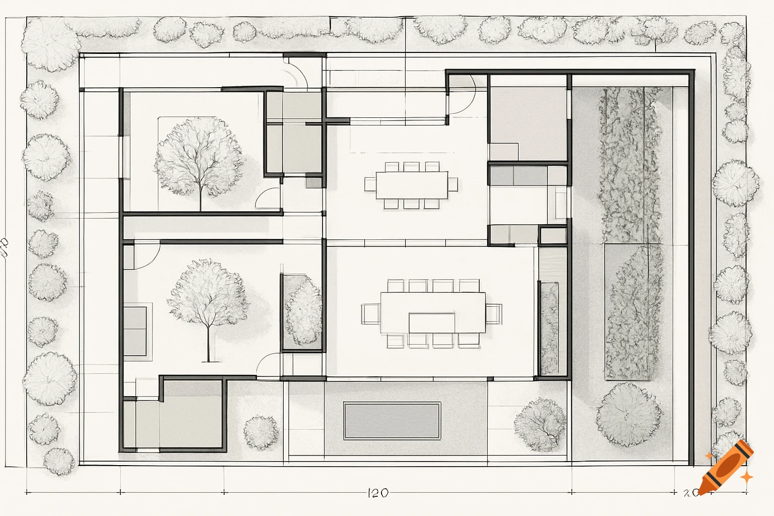
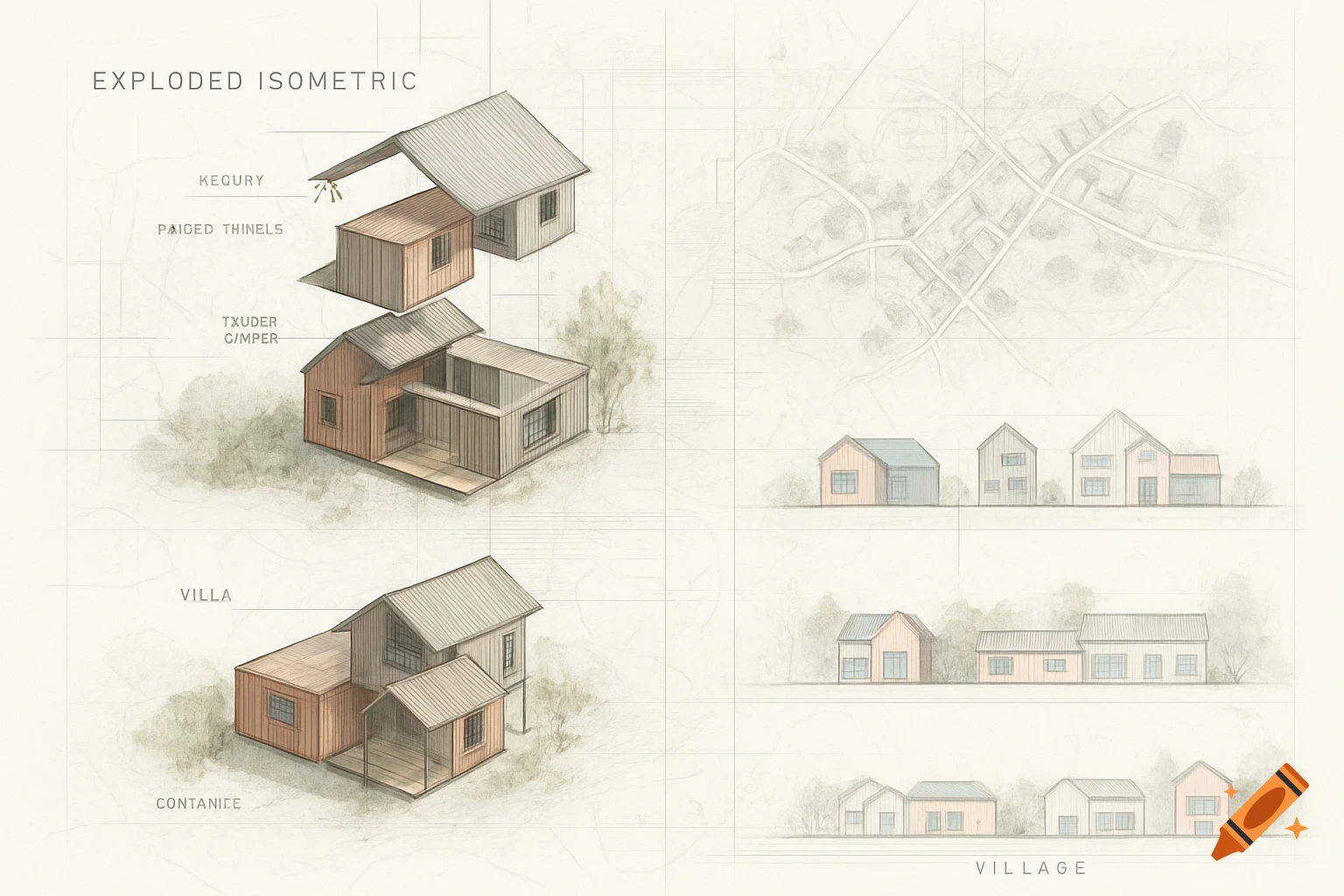
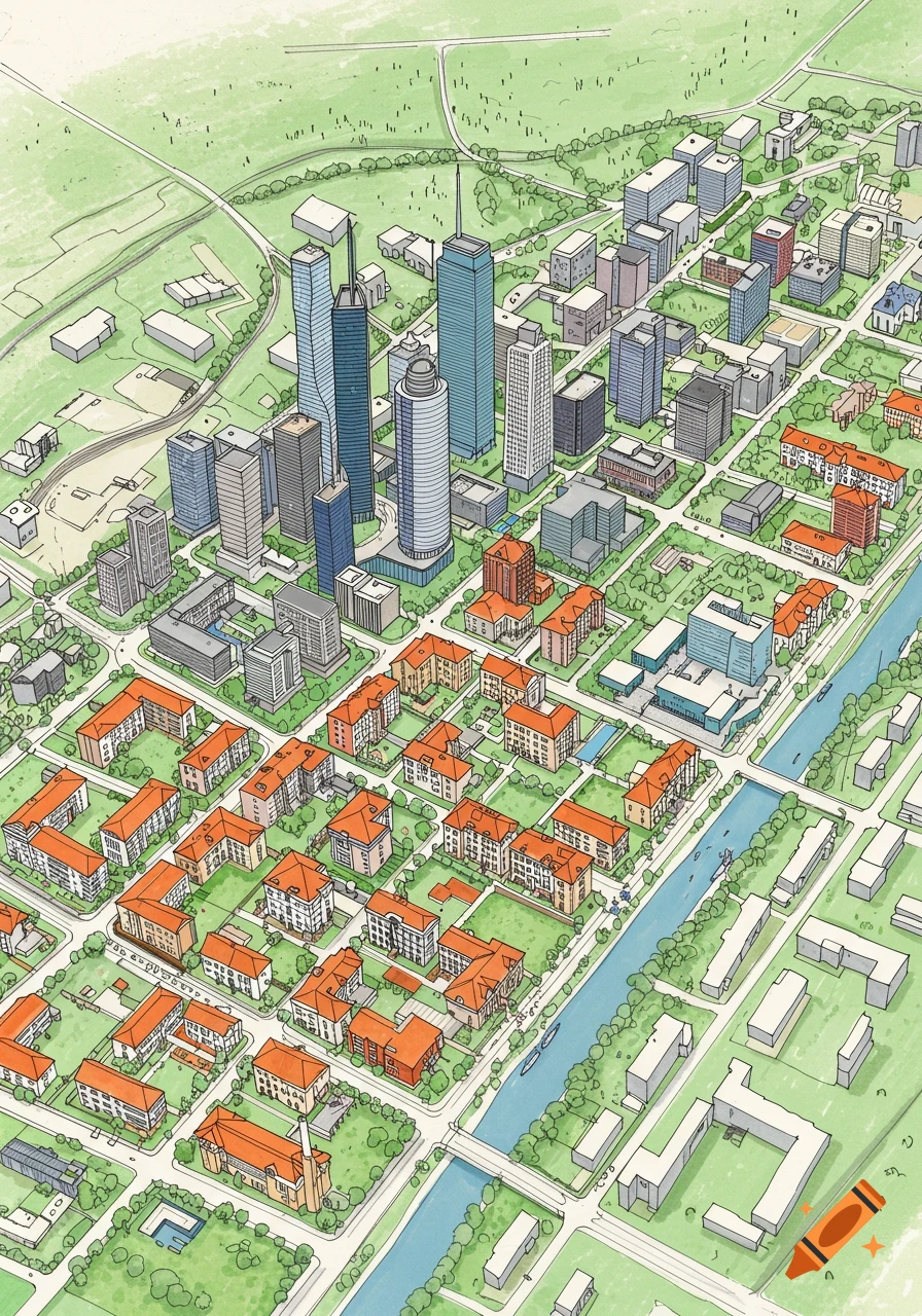
A hand-drawn, minimalist map or schematic, featuring orange and blue shapes representing buildings and a river/road on a white background.
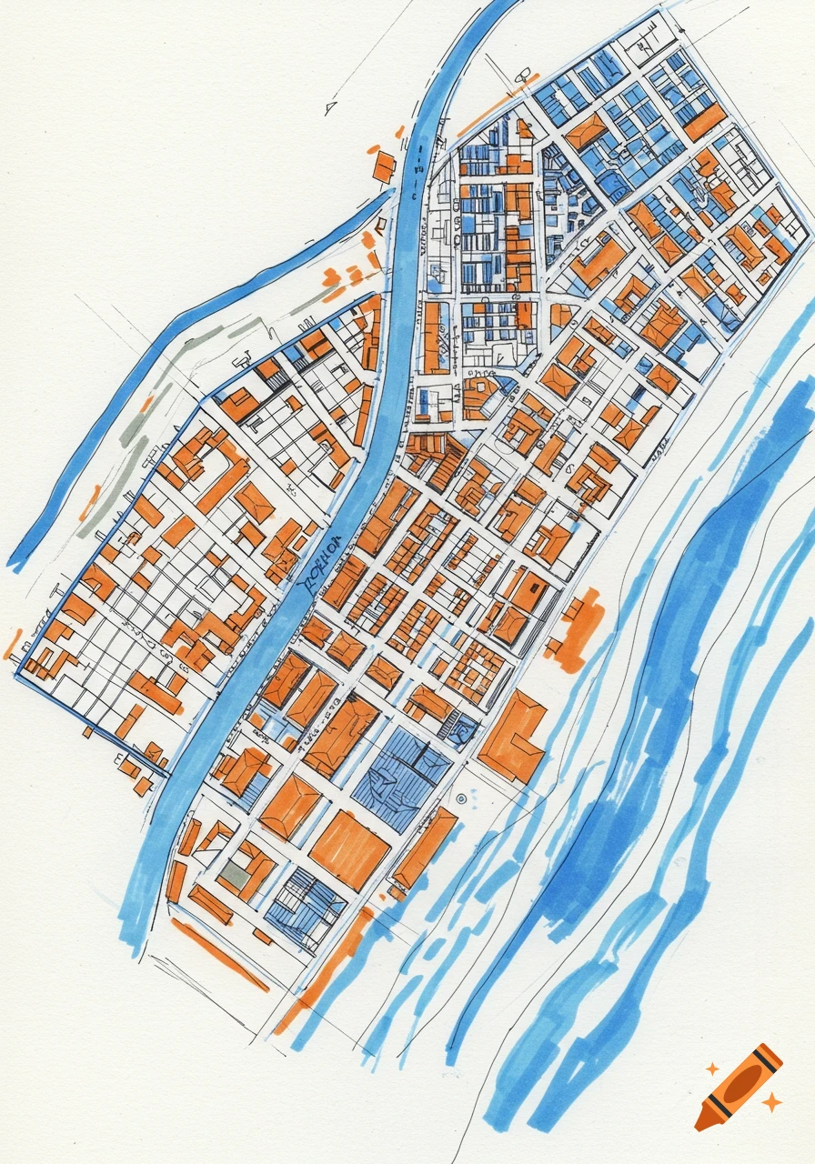
🗺️ Overall Layout - The image is a hand-drawn map or schematic, likely representing a planned or conceptual area. - It’s oriented diagonally, with a strong visual axis running from the top left to the bottom right. 🔷 Central Feature - A bold diagonal blue line cuts across the map from top left to bottom right. This could represent a river, major road, or boundary. - It’s the most dominant element and seems to divide the map into two distinct zones. 🧩 Sectional Divisions - The map is divided into multiple geometric zones: - Rectangular and square areas dominate the layout. - These zones are outlined with clean, straight lines, suggesting buildings, plots, or districts. - Some sections are nested within others, indicating layered or hierarchical organization. 🟦 Top Right Corner - A grid-like pattern appears here, possibly representing a dense or organized area—like a residential block, industrial zone, or farmland. - The grid is tightly packed and uniform, contrasting with the more open layout elsewhere. 🎨 Bottom Right Corner - Scribbled blue and orange markings suggest a natural or fluid feature—perhaps water, vegetation, or terrain. - These scribbles are looser and more organic than the rest of the map, adding visual contrast. 📐 Style and Medium - The drawing is minimalistic and schematic, using mostly blue and orange ink or pencil. - It’s clearly a conceptual or planning sketch rather than a finished map—likely meant for further annotation or development. See more