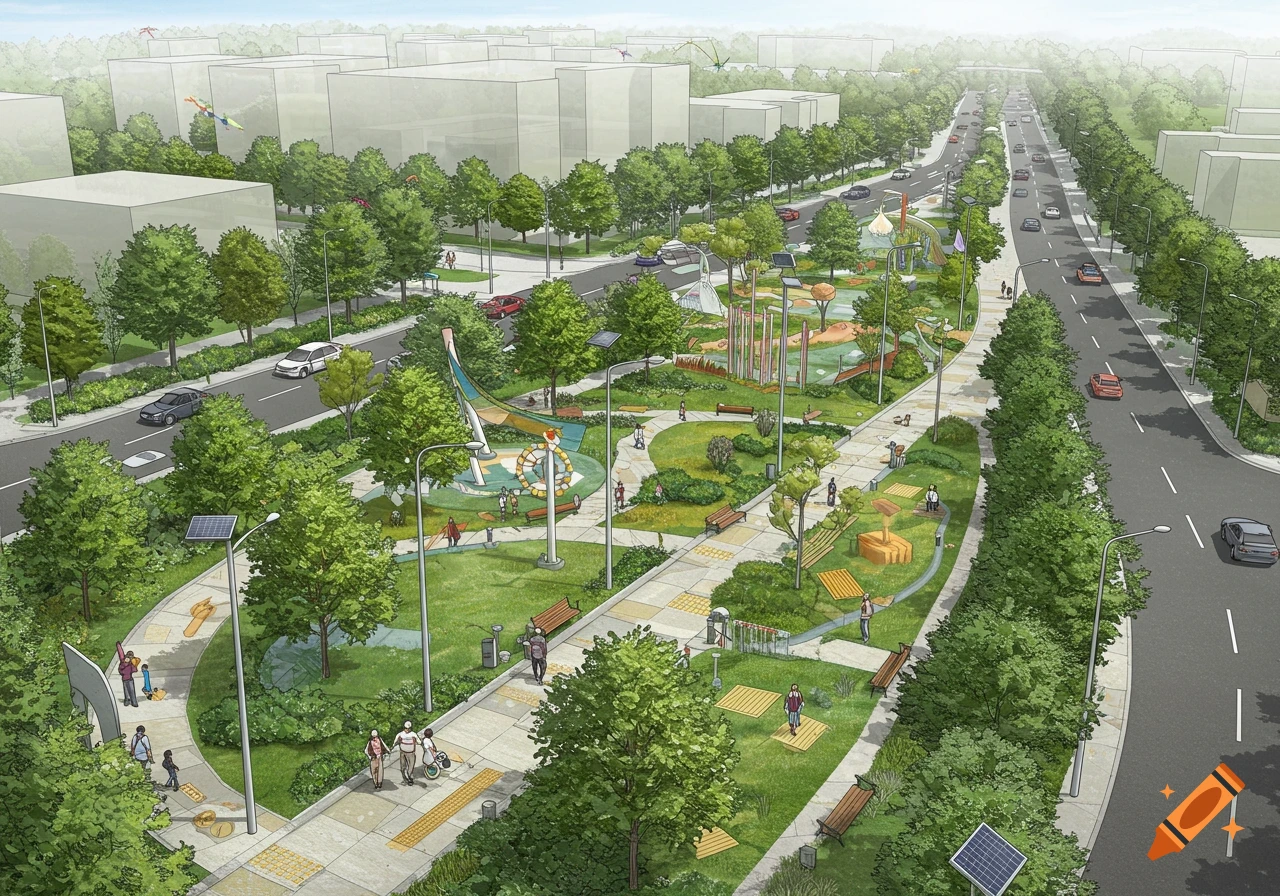
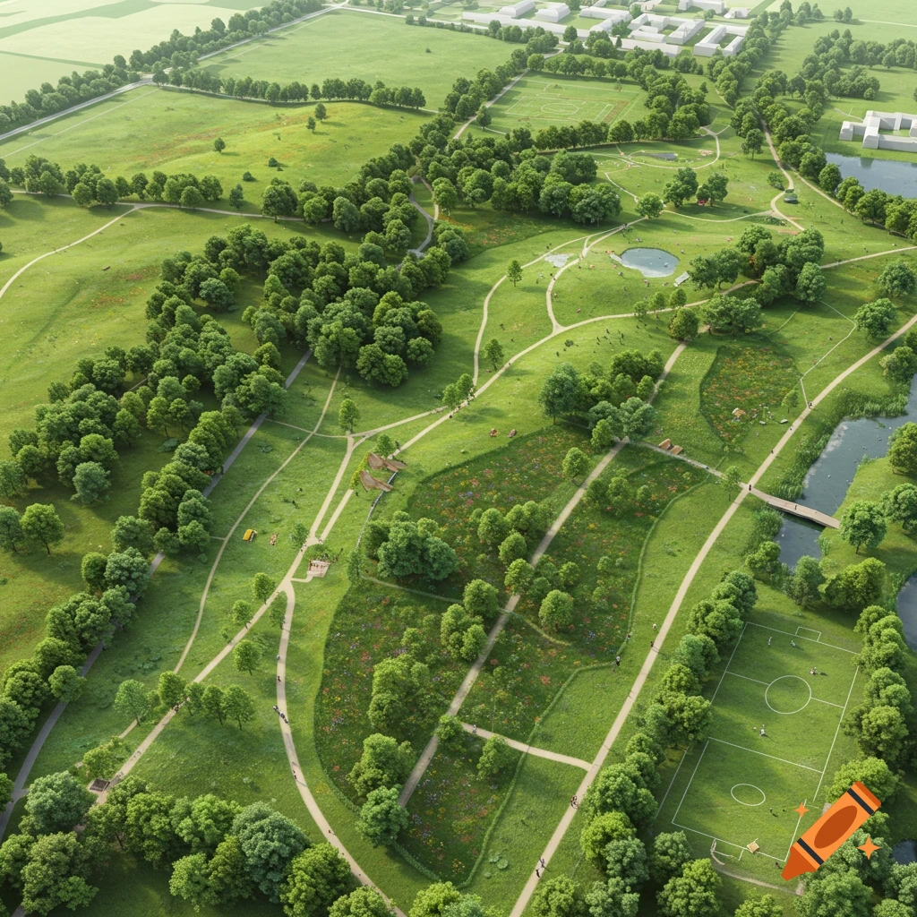
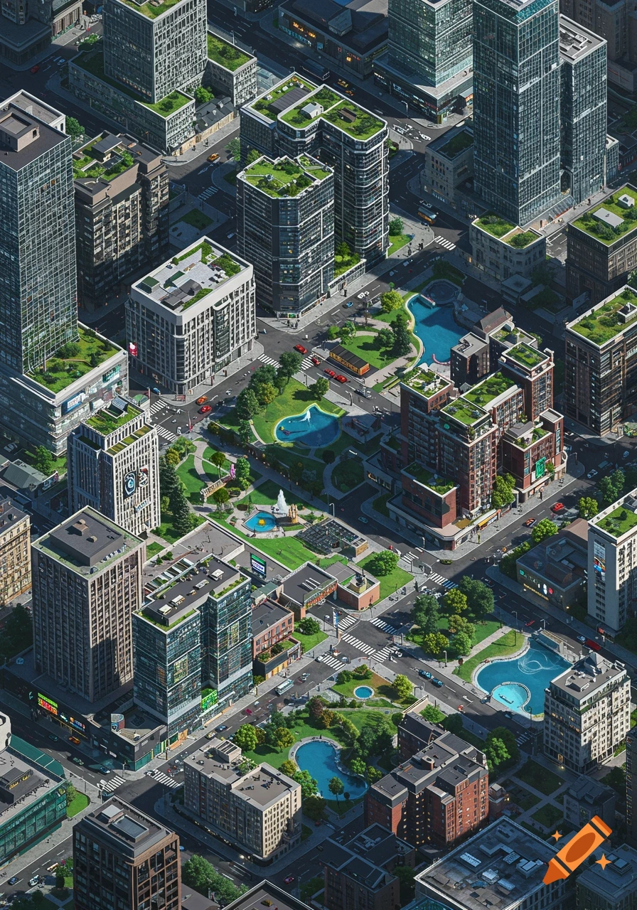
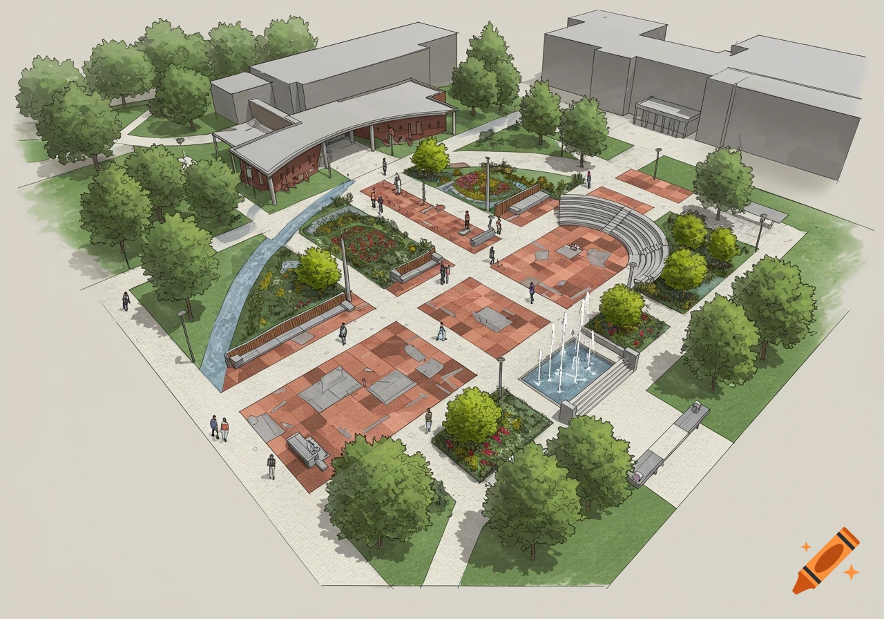
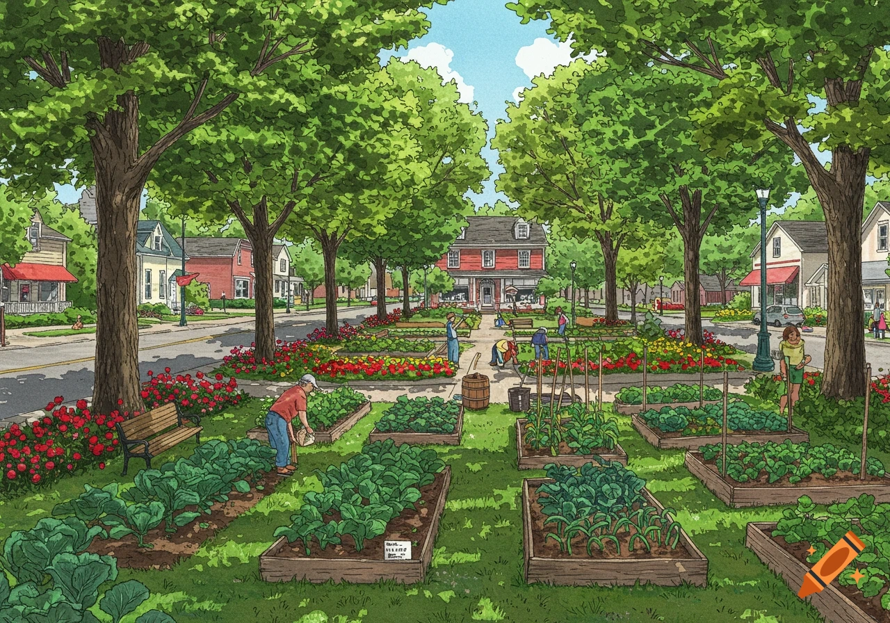
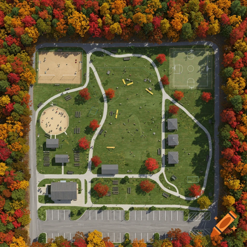
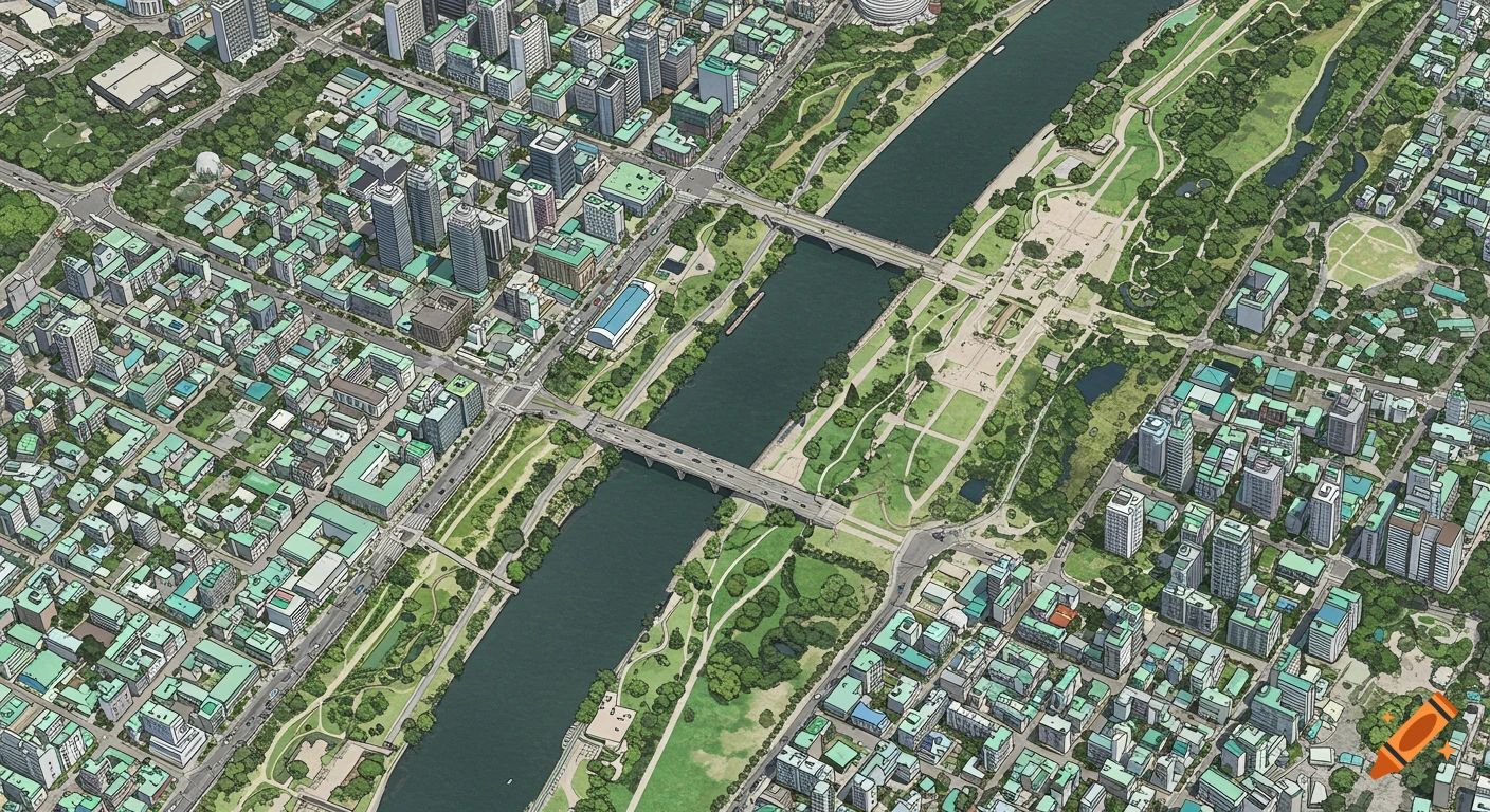
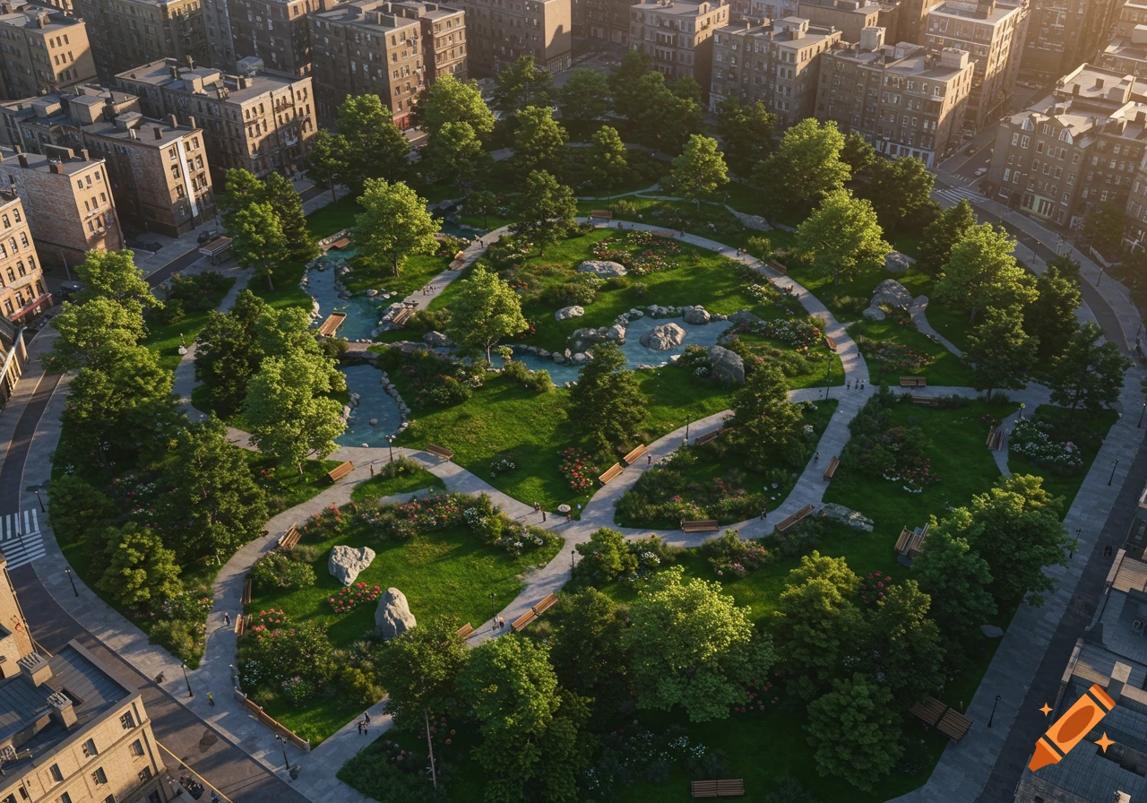
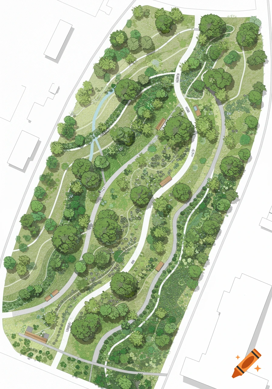
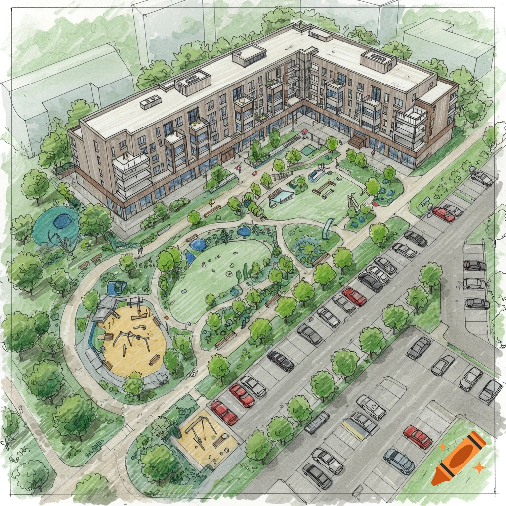
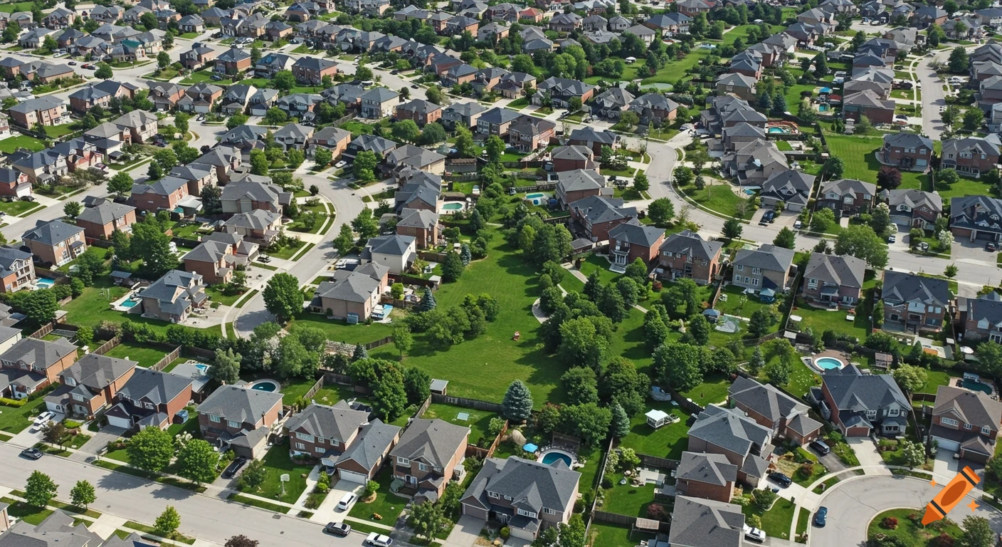
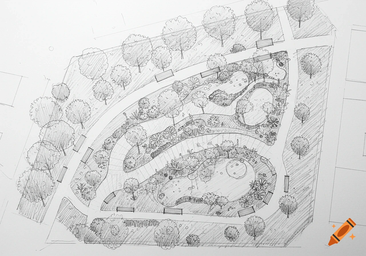
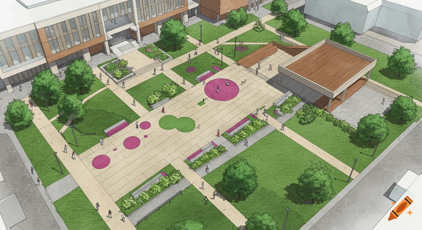
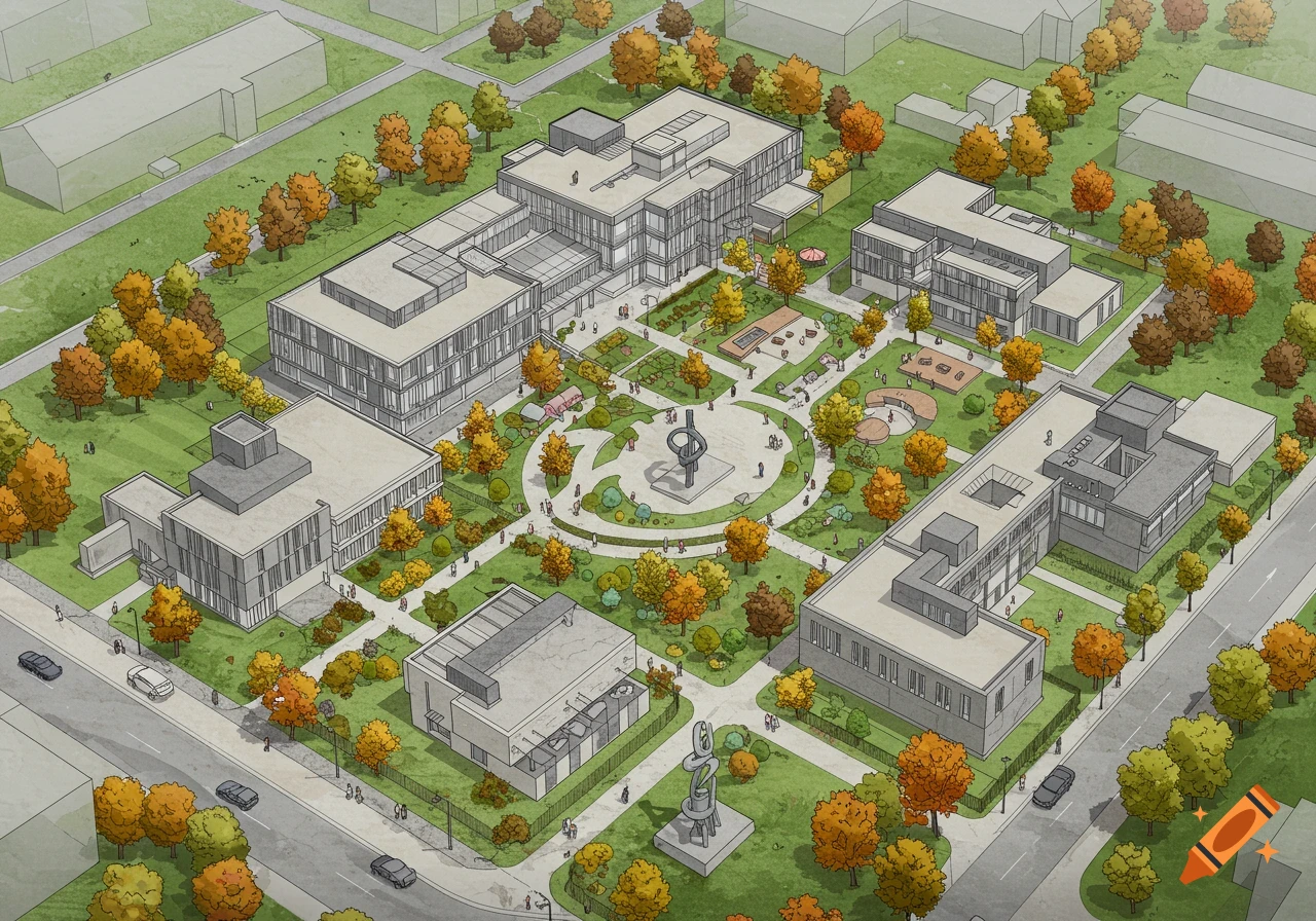
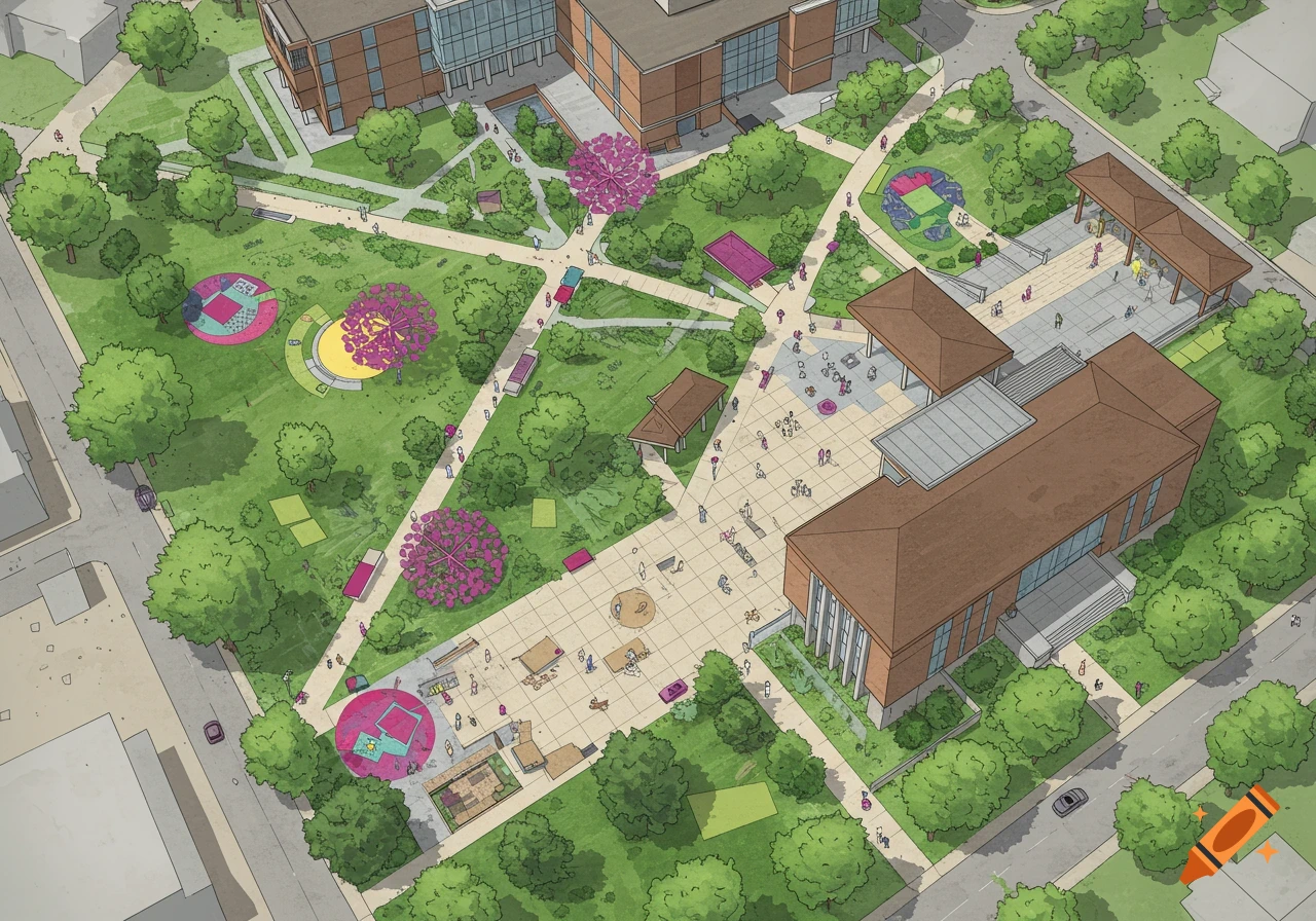
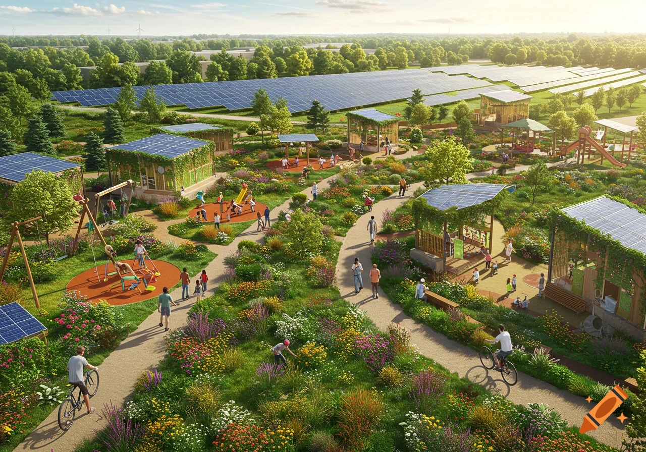
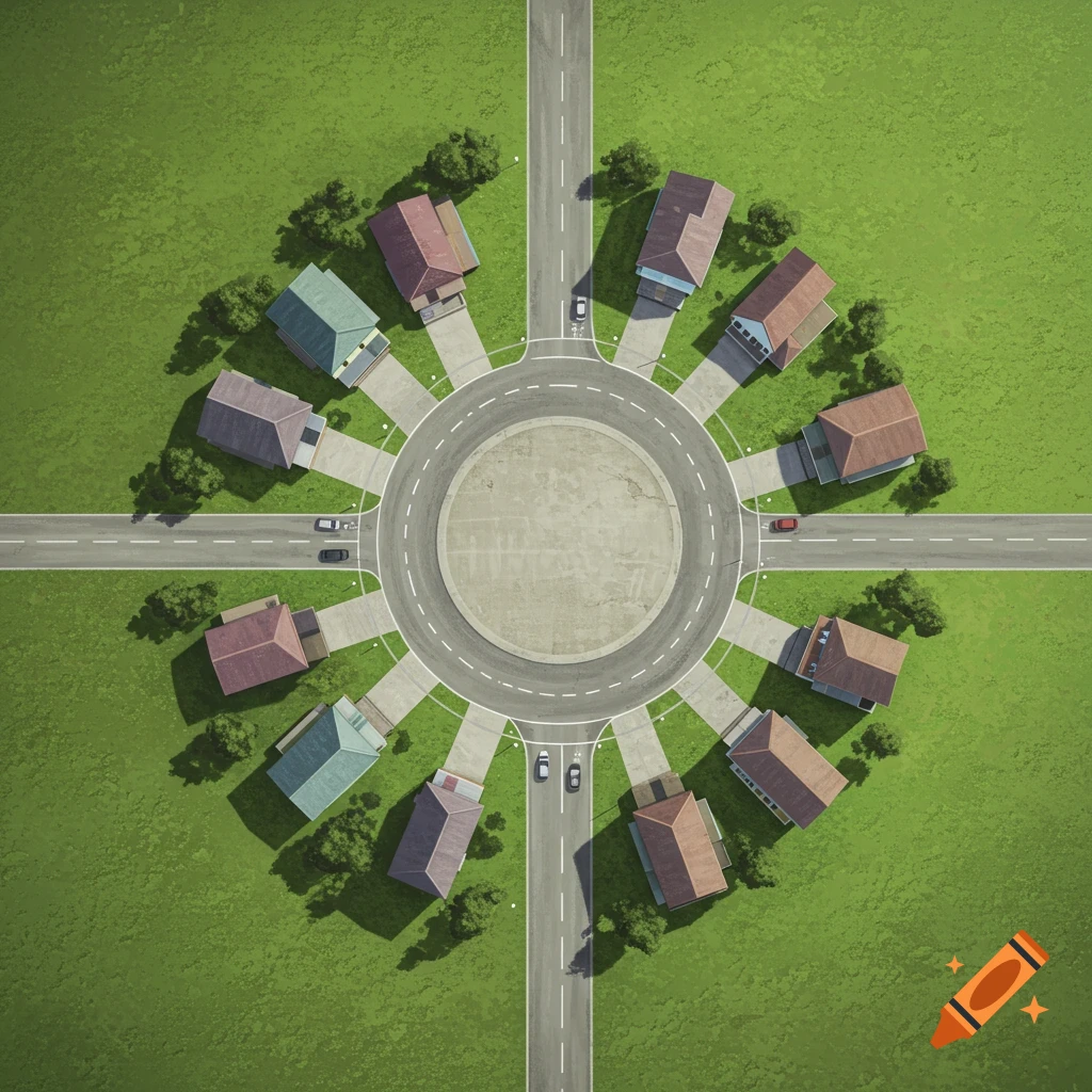
An overhead view of a green park surrounded by a grid of residential buildings and streets in an urban plan style.
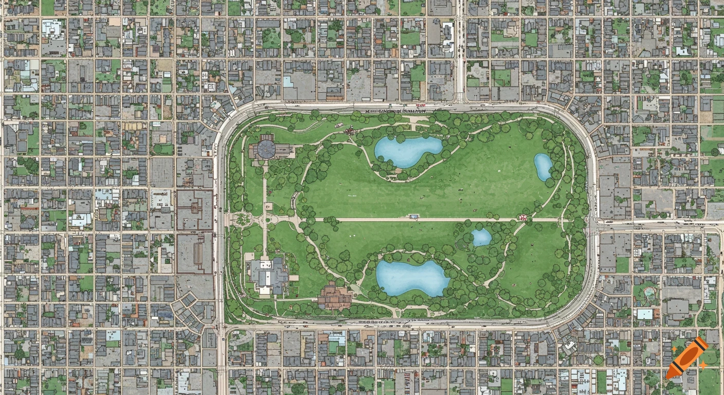
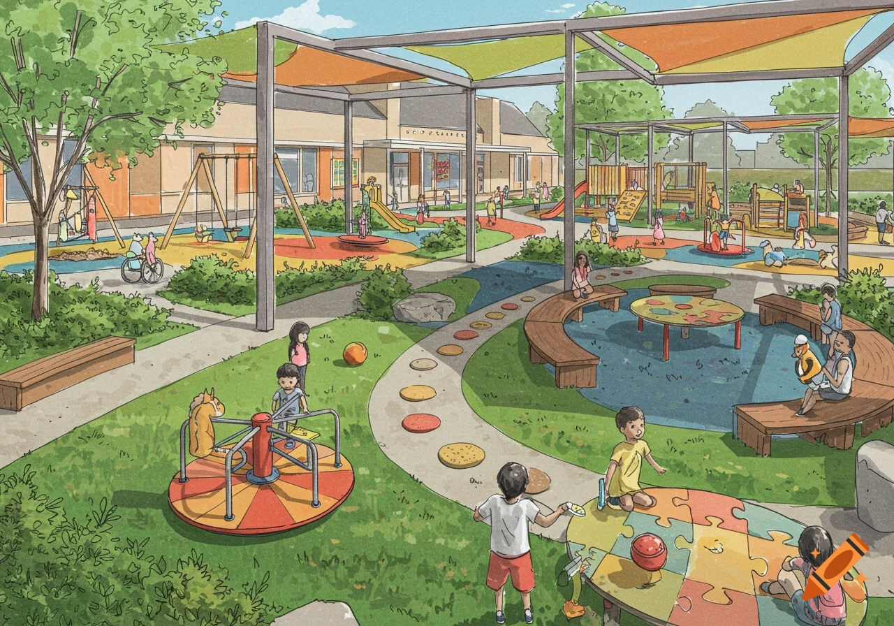
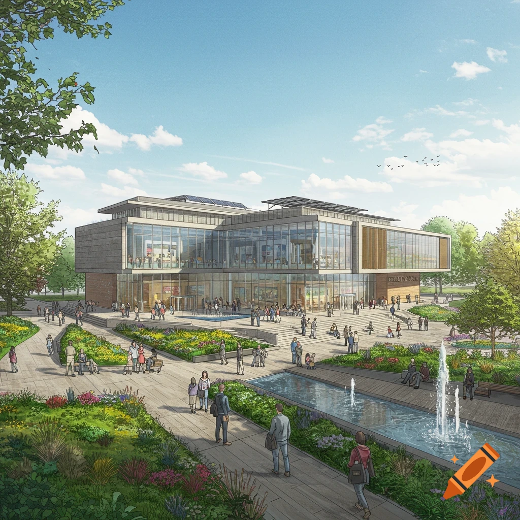
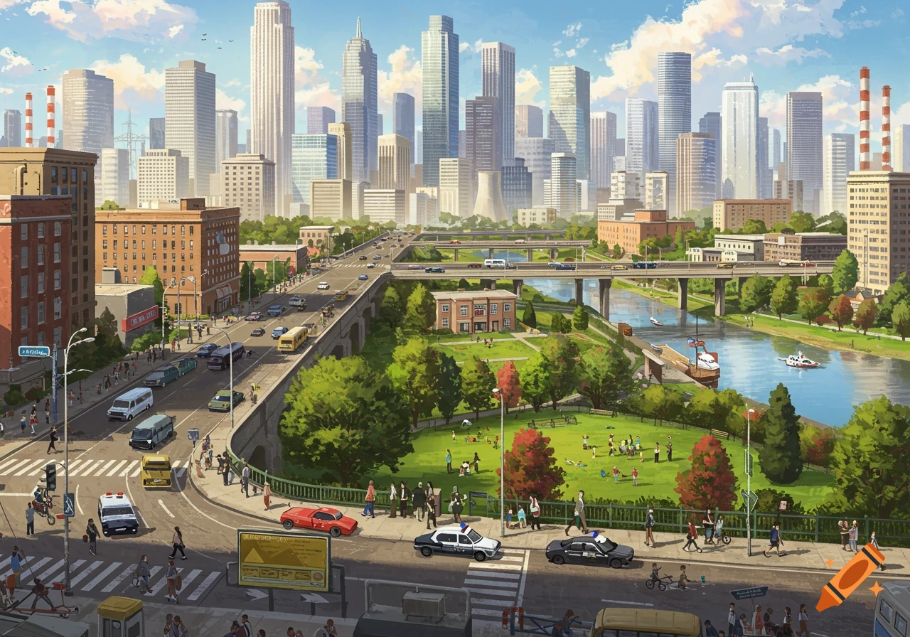
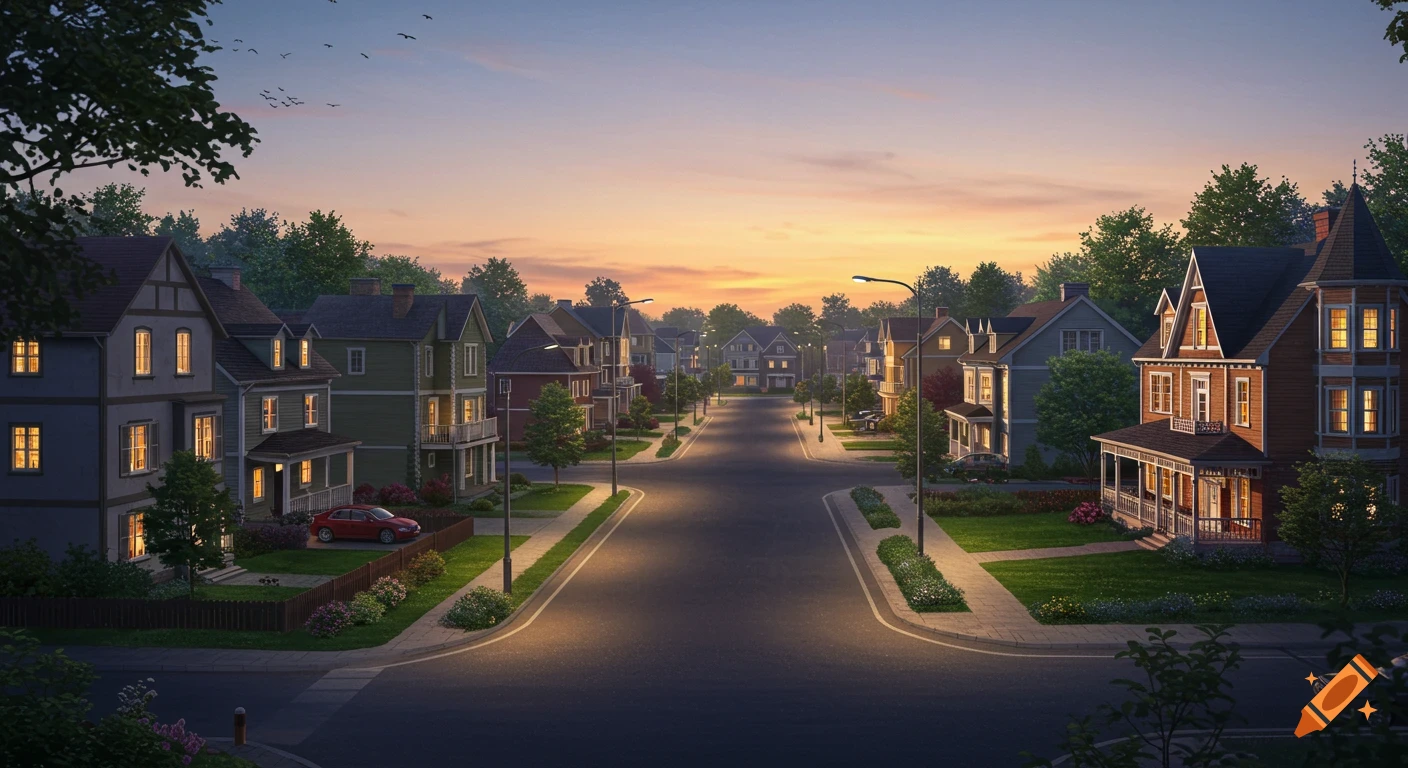
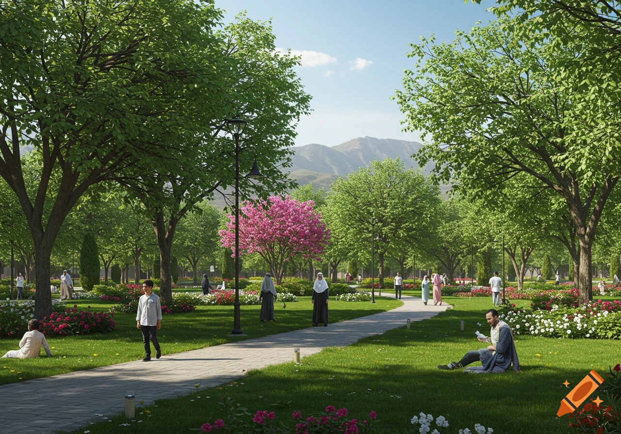
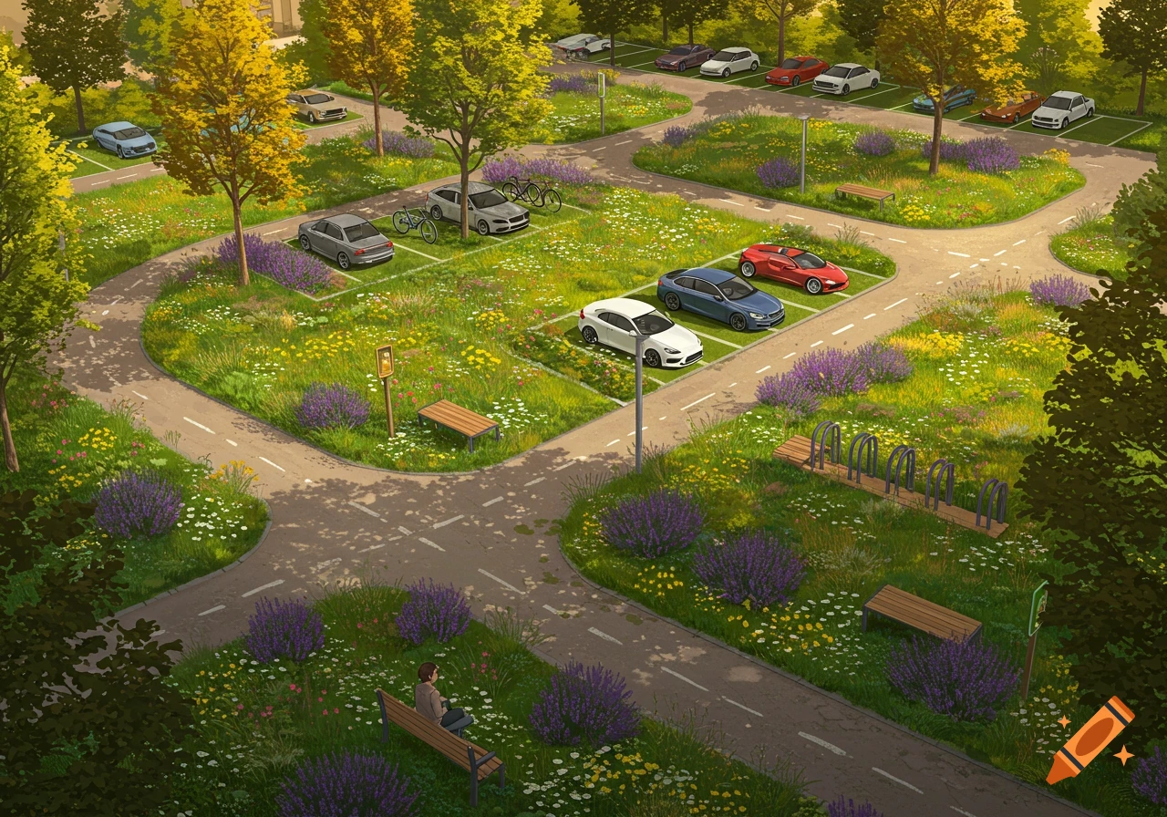
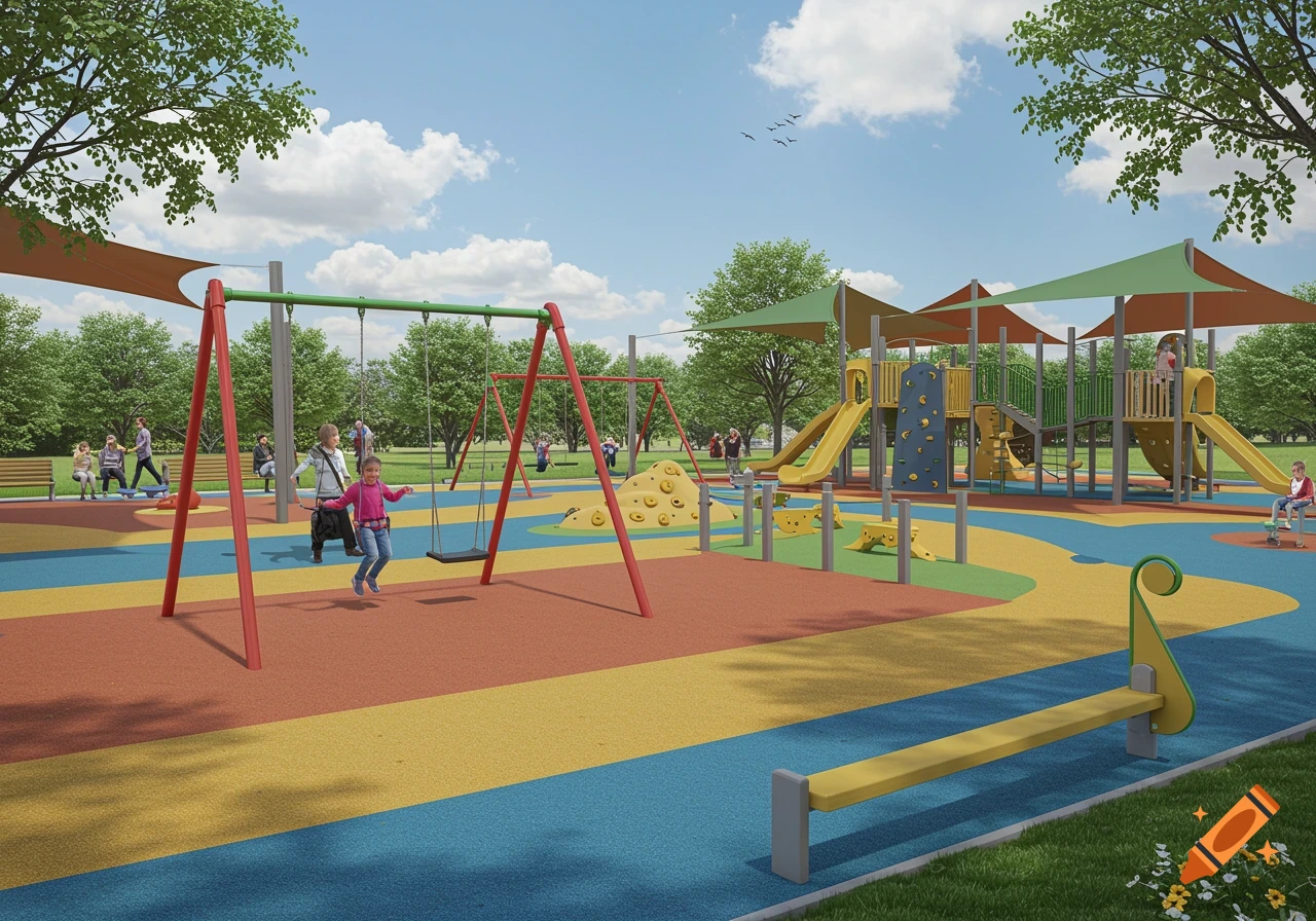
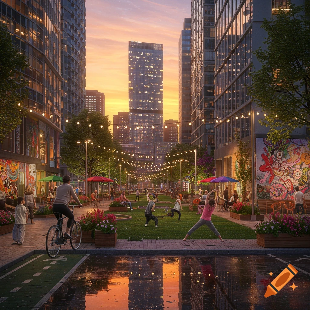
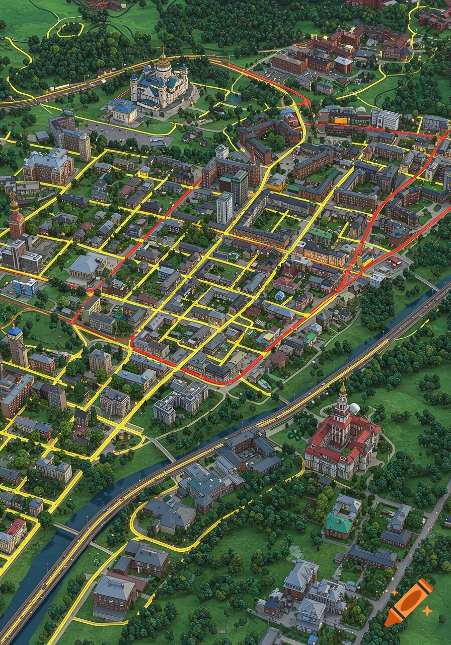
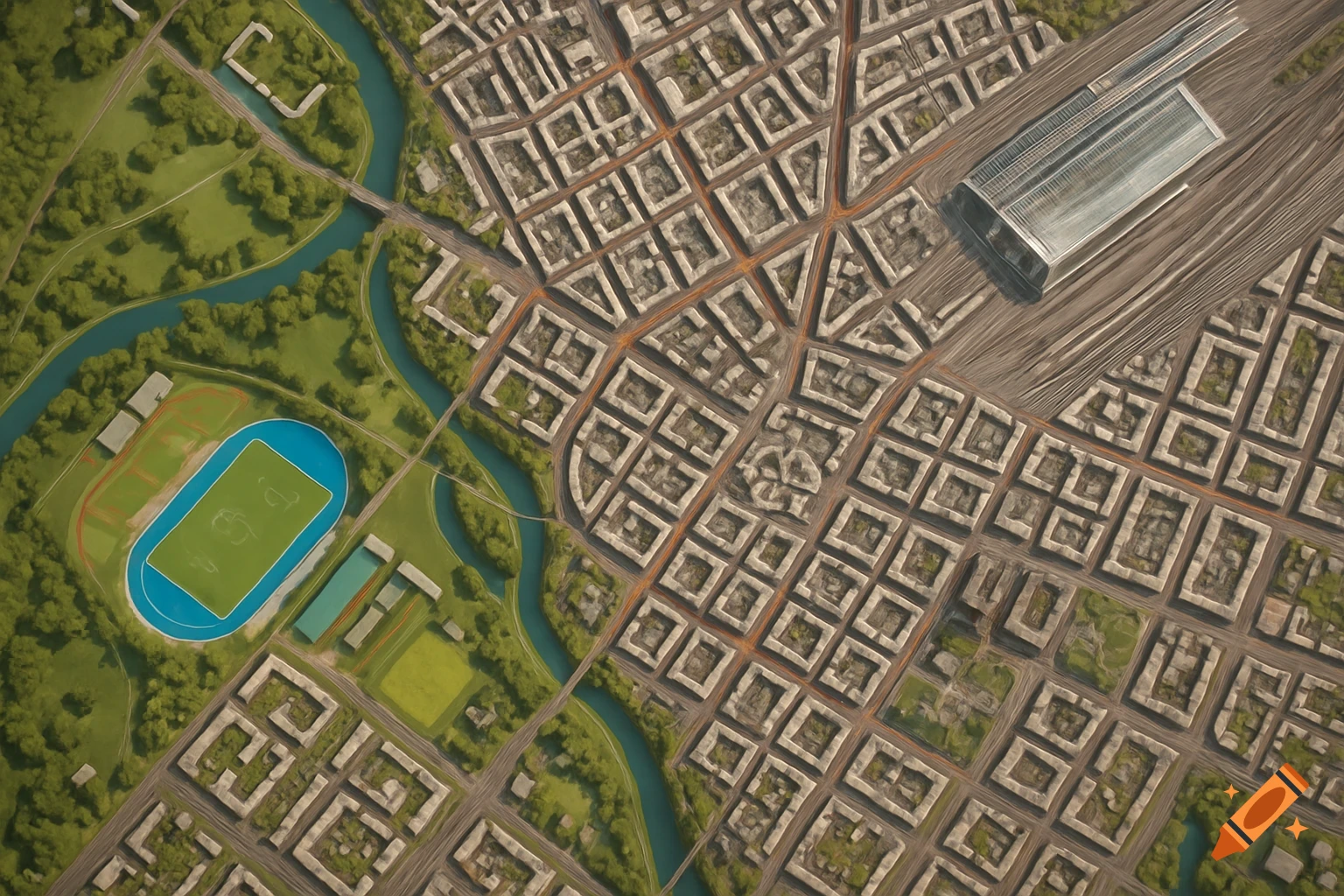
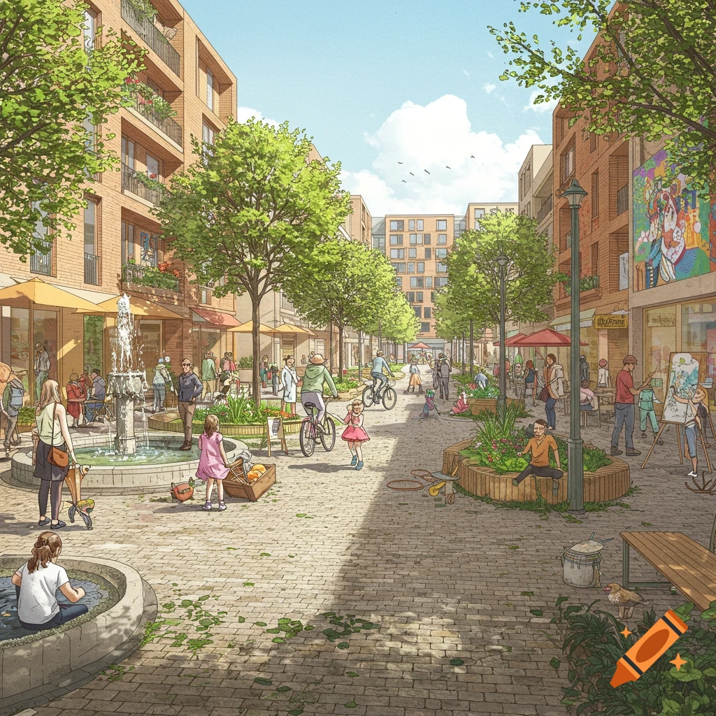
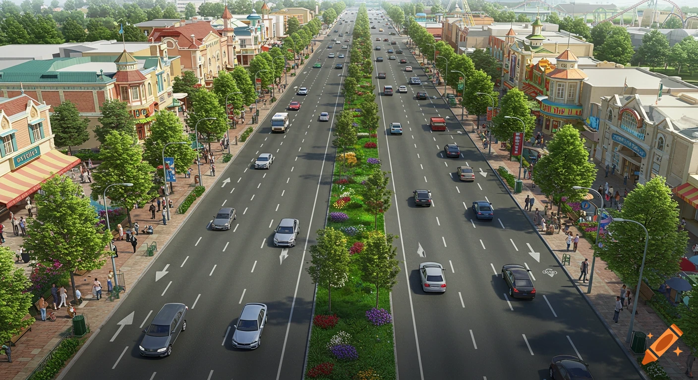
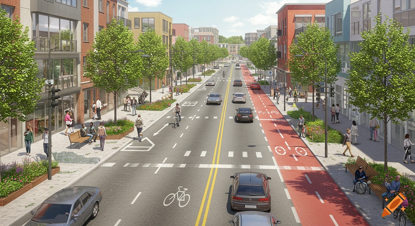
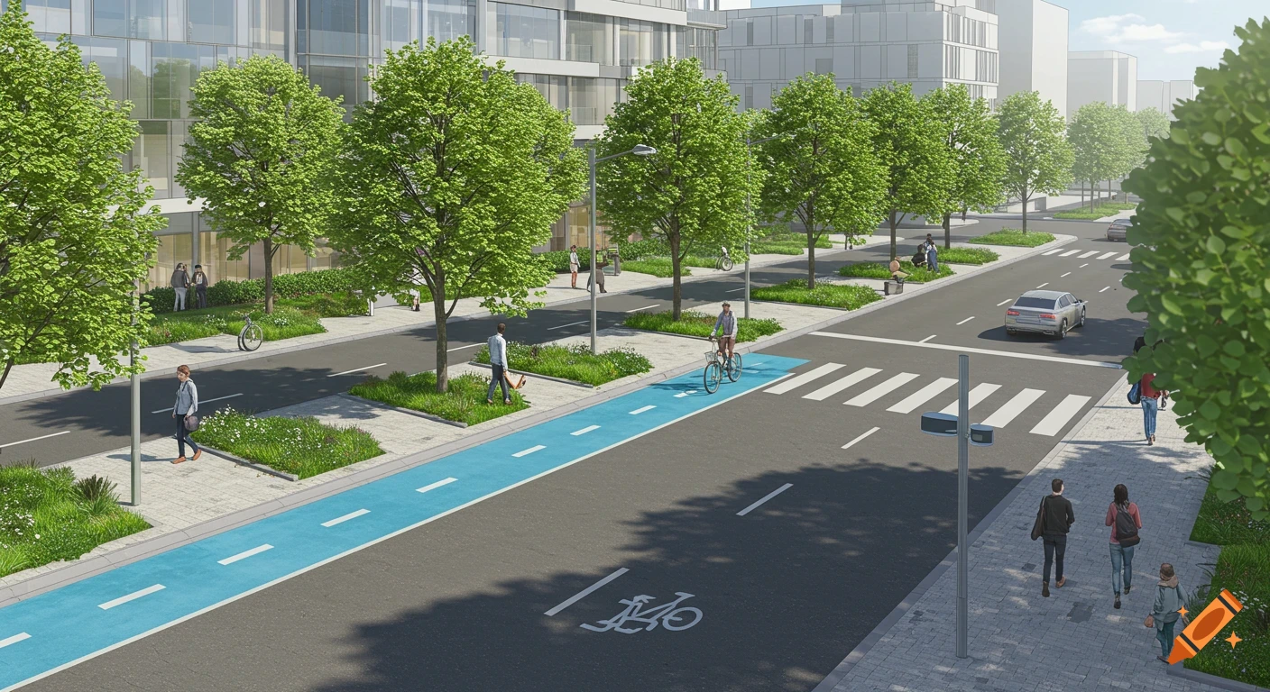
You are tasked with visualizing urban forms following this prompt (Make the area visualized around 5 miles) :The town plan of this public space follows the common grid system of Chicago, with streets intersecting allowing parcels of land. In the center lies a spatial box shape park where communities can come and enjoy, promoting negative figure-ground mapping. A place where residents can sit,relax, and have enough space to host events such as parades. The park houses a park district building, a medium size lake, and is spread with oak trees everywhere. The park is split by a 4-lane street that zig-zags in the middle where vehicles and emergency services can travel in. Enclosing the park are negative spaces, 4 main streets surround the park, ensure sidewalks and streets accommodate cars, bikes, transit, and emergency vehicles, also include bike lanes, essentially serving as positive-space walls that divide the park from the residential area. They serve as great support to communal walkability following the grid design. Surrounding the streets a different scenery can be seen, tight and compact residential blocks that go on for miles following the same designs with narrow alleyways behind homes and small backyards promote figure-ground positive space. Most residential buildings are alike, containing two to three flat apartments made of brick or greystone. The main commercial street is lined with local businesses such as restaurants, corner stores, and artisan shops. They also See more