Create
Remove BG
Search
Categories
Tutorial
My images
Upgrade to Pro
Help
Pro
Sign up
Retouch
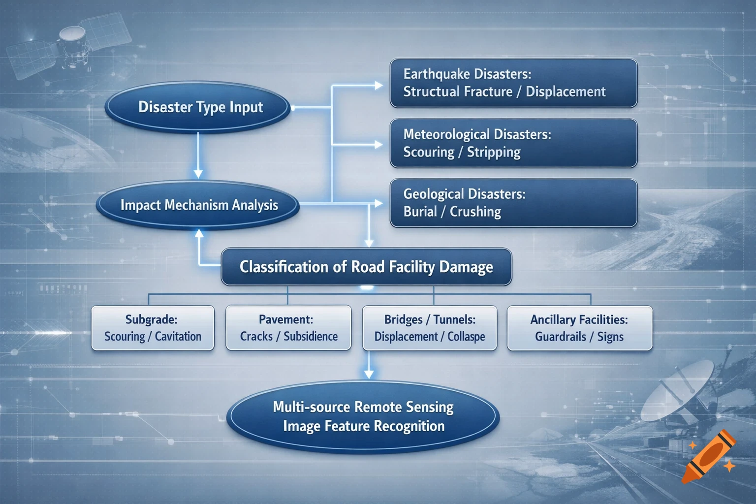
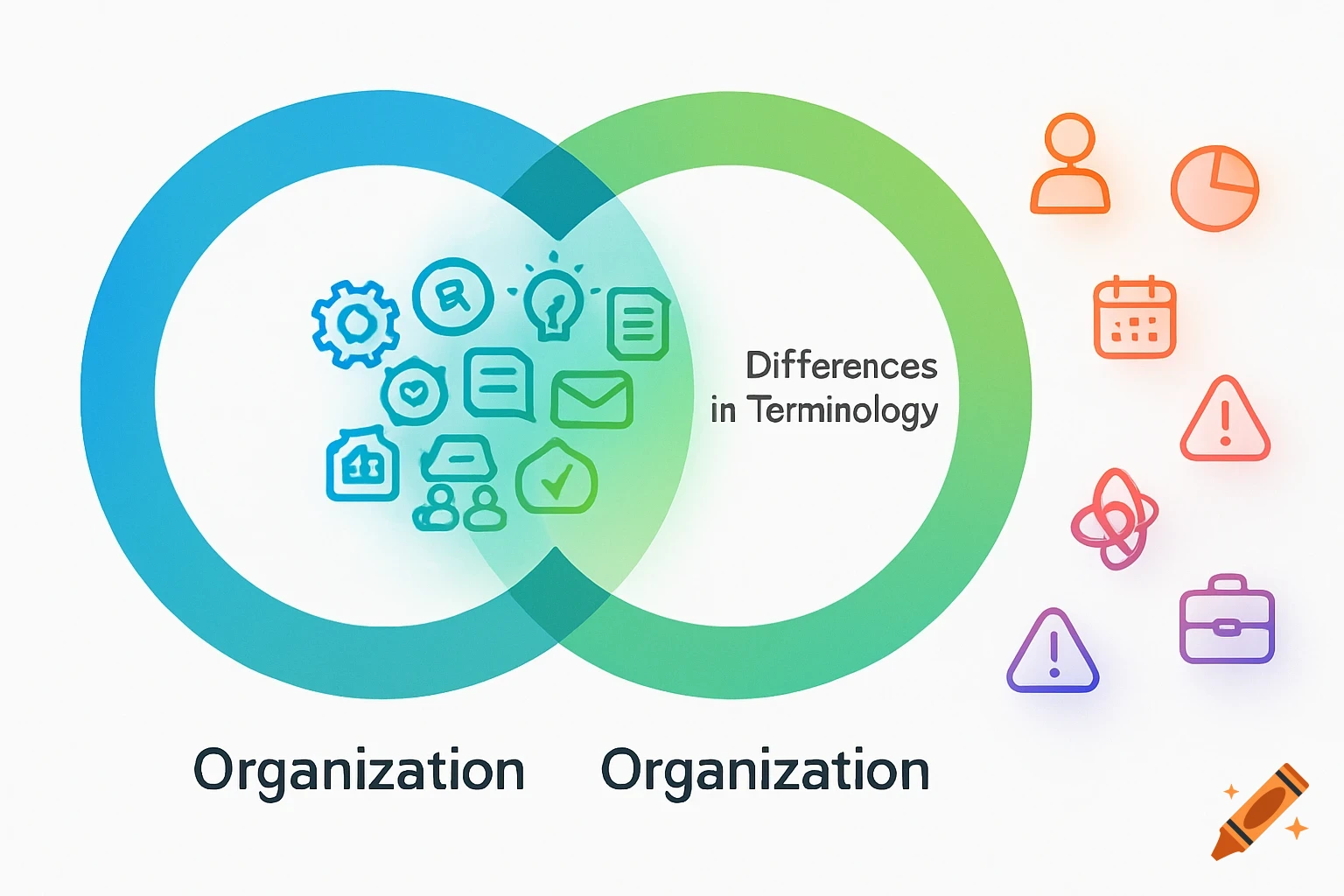
graph TD A[灾害类型输入] --> B{影响机理分析} B -->|应力释放| C1[地震灾害: 结构断裂/位移] B -->|冲刷浸泡| C2[气象灾害: 掏空/剥离] B -->|重力堆积| C3[地质灾害: 掩埋/挤压] C1 & C2 & C3 --> D[道路设施损毁分类] subgraph 分类体系 D --> E1[路基: 冲毁/掏空] D --> E2[路面: 裂缝/沉陷] D --> E3[桥隧: 位移/坍塌] D --> E4[附属设施: 护栏/标志] end E1 & E2 & E3 & E4 --> F[多源遥感图谱特征识别] See more
Infos
Get it on a shirt