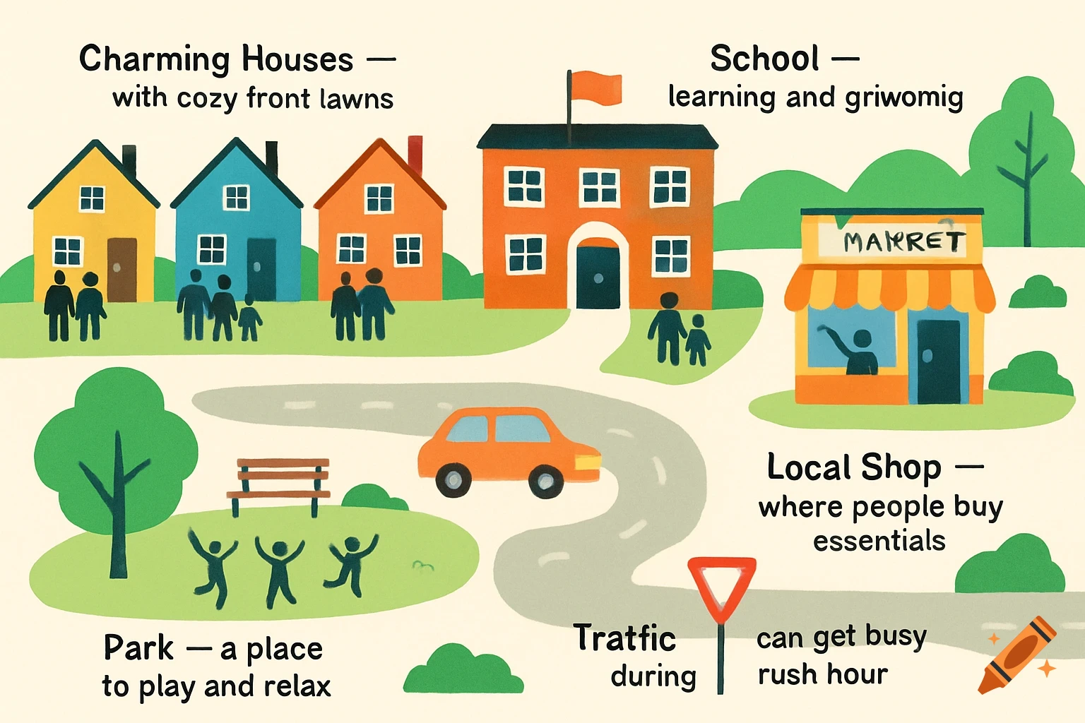
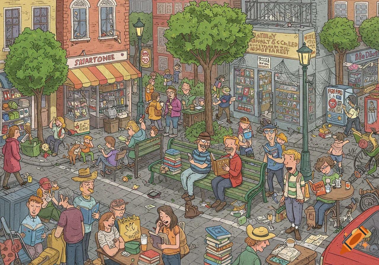
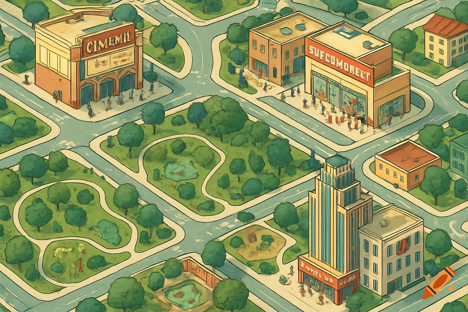
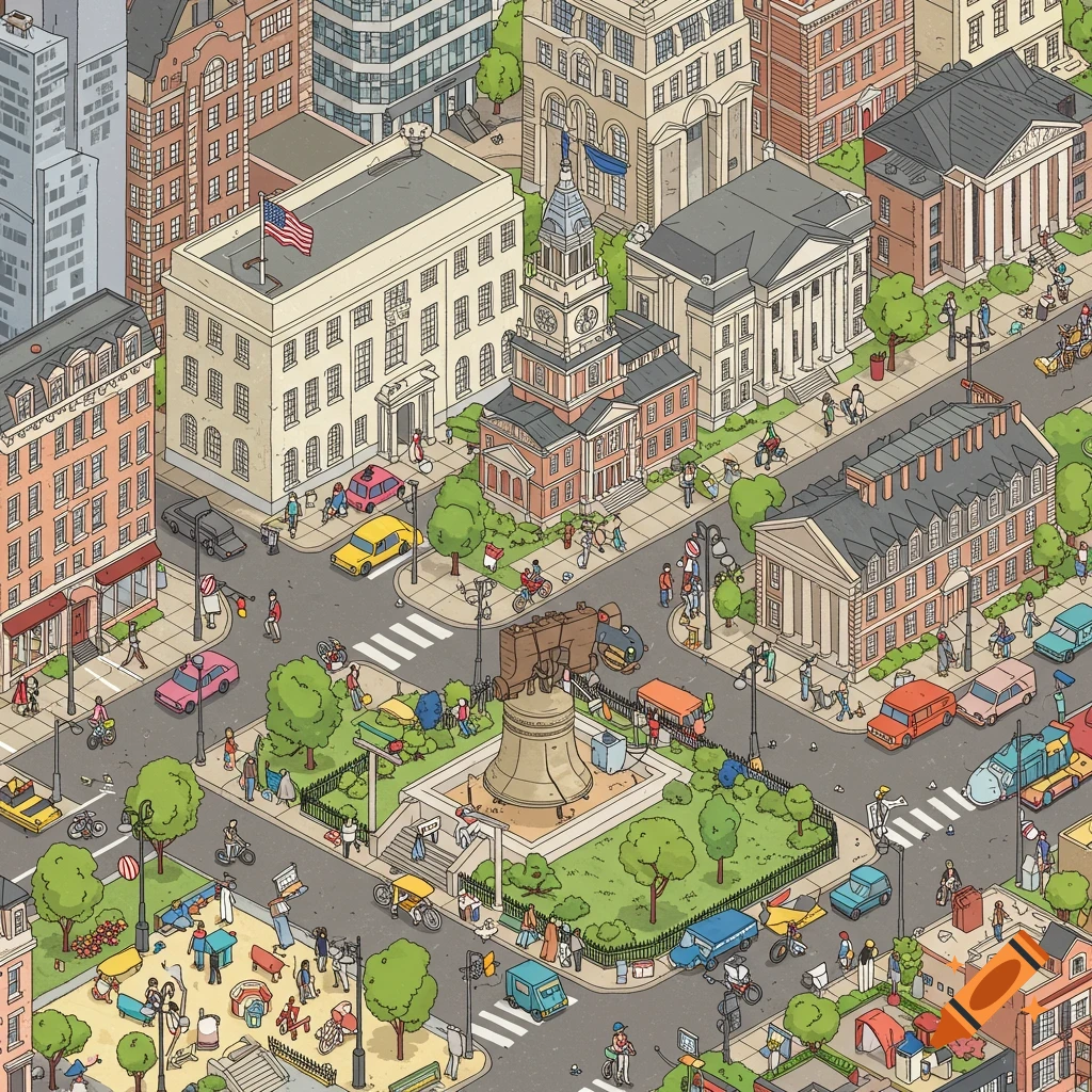
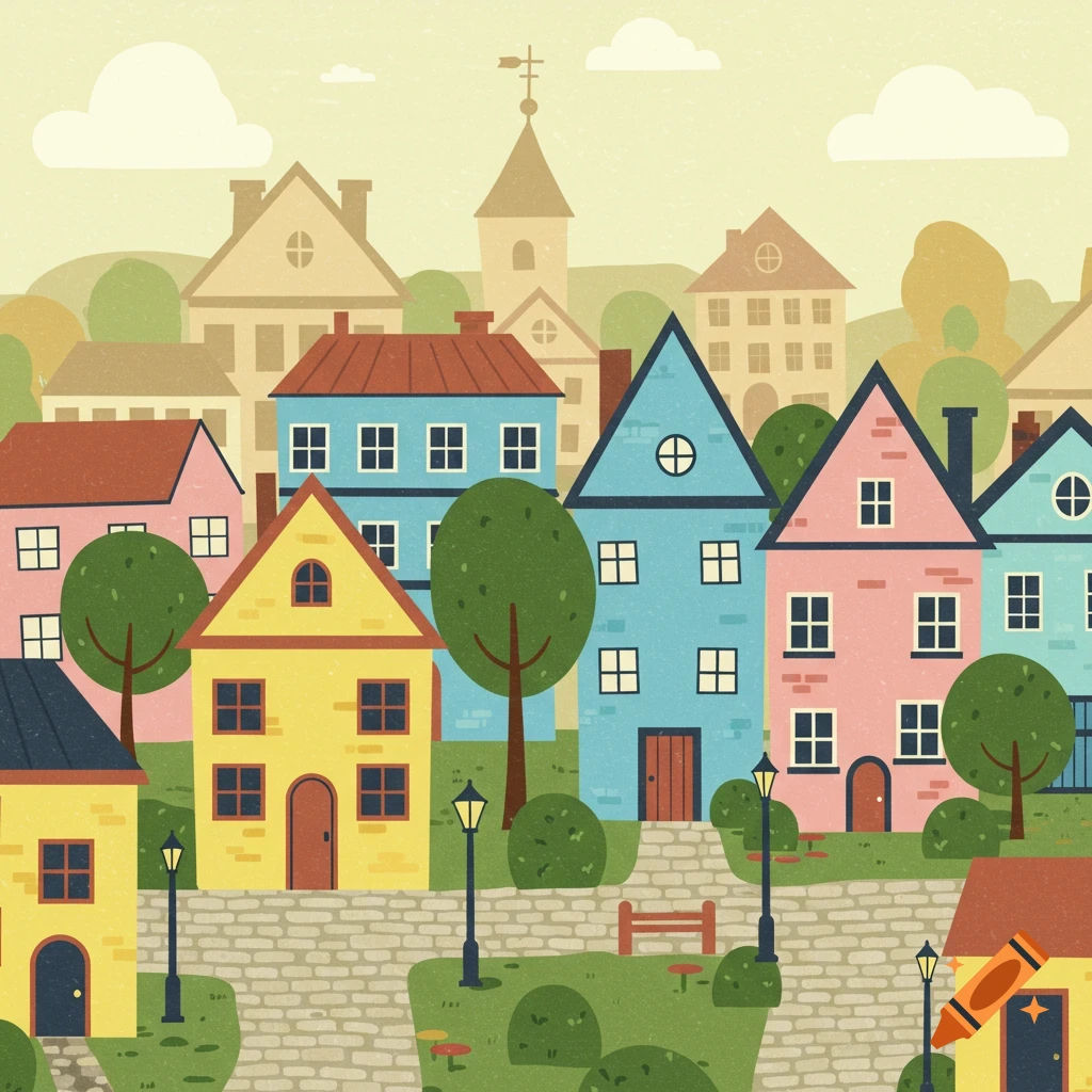
Cartoon diagram of a street map with buildings and park, labeled with incorrect text on some locations.

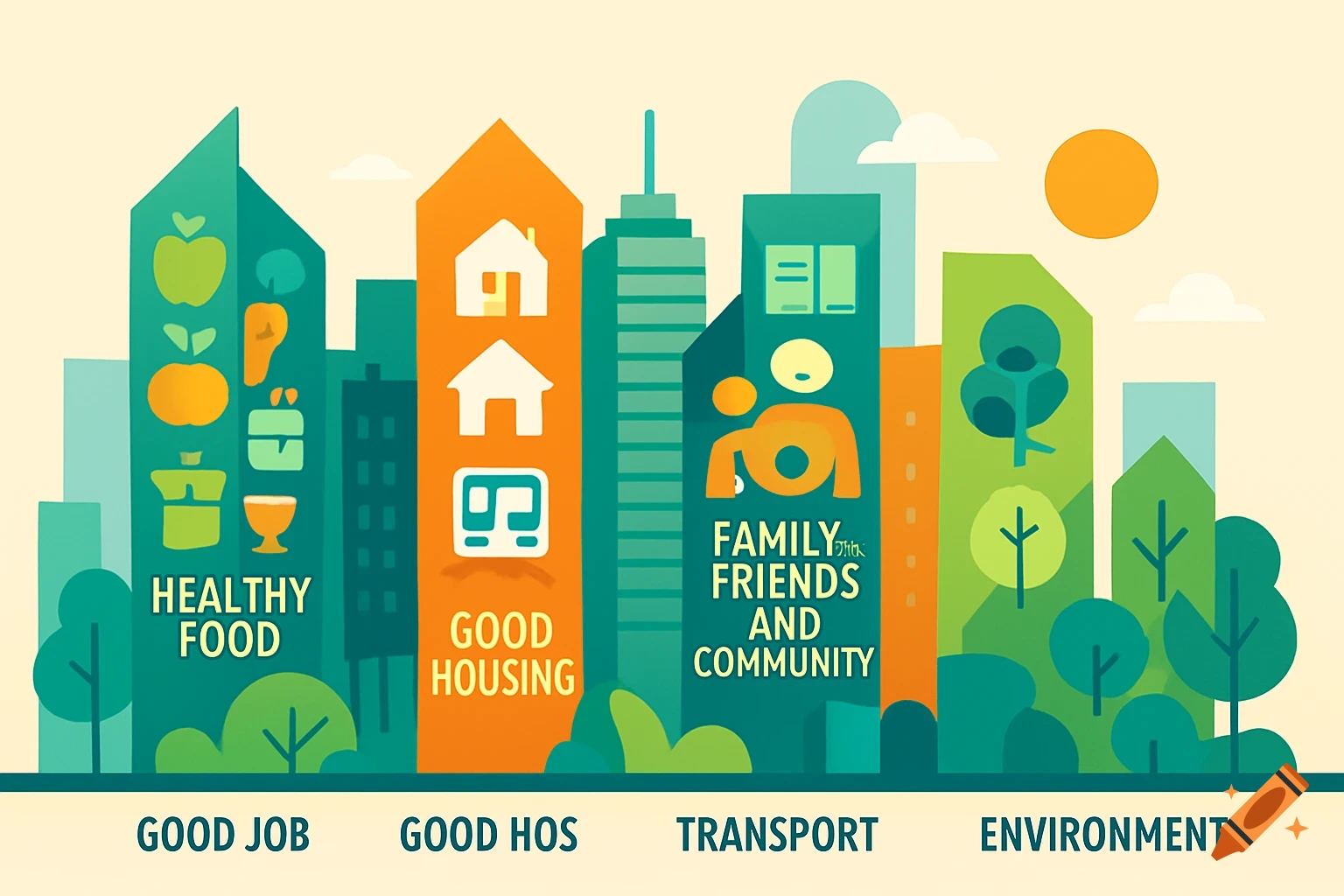
Imagine a basic "T" shape forming the main roads: • The Avenue: This is the long, vertical part of the "T". Place the Bus Station at the very bottom of the Avenue for easy access in and out of the city. As you go up the Avenue, you could have the Park on one side, offering a green space accessible to everyone. Further up, you might place the Supermarket on the other side for convenient shopping. • The Street: This is the horizontal top part of the "T", intersecting the Avenue. On one side of the Street, you could have the School, easily reachable from the residential areas that might grow around the Street. On the other side of the Street, you could place the Gym, promoting a healthy lifestyle for the city's residents. • The Road: This is the short, vertical line branching off the Street (forming the top of the "T"). You could place the more service-oriented buildings along this Road. For example, the Bank could be located here. Further down this road, you could have the Shoes Store and the Restaurant clustered together, perhaps creating a small commercial area. In summary: • Avenue (Vertical): Bus Station (bottom) - Park - Supermarket • Street (Horizontal): School - Intersection - Gym • Road (Branching off Street): Bank - Shoes Store - Restaurant See more