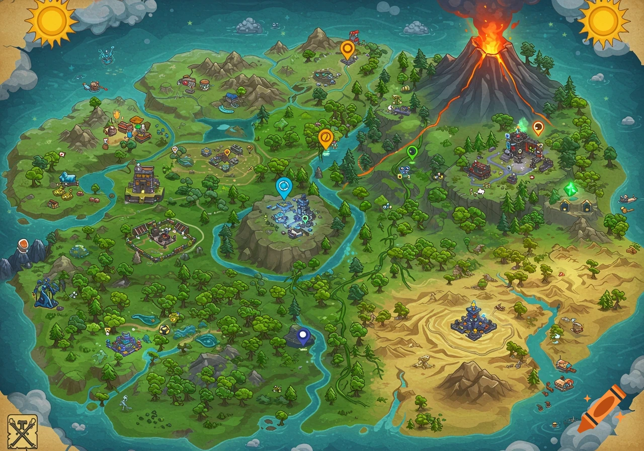
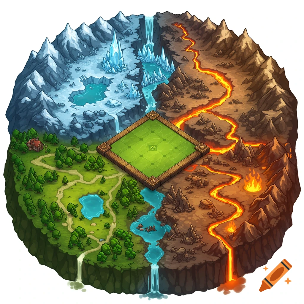
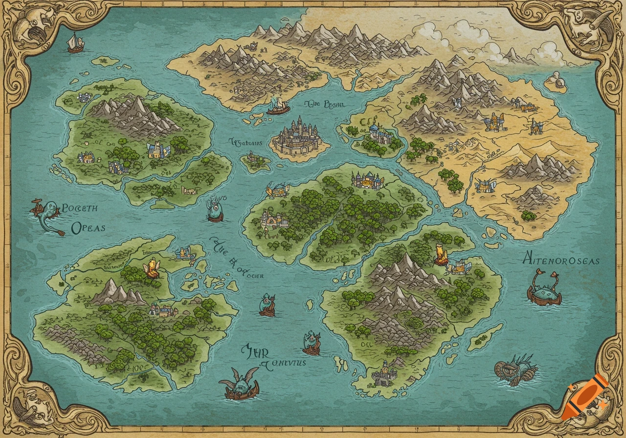
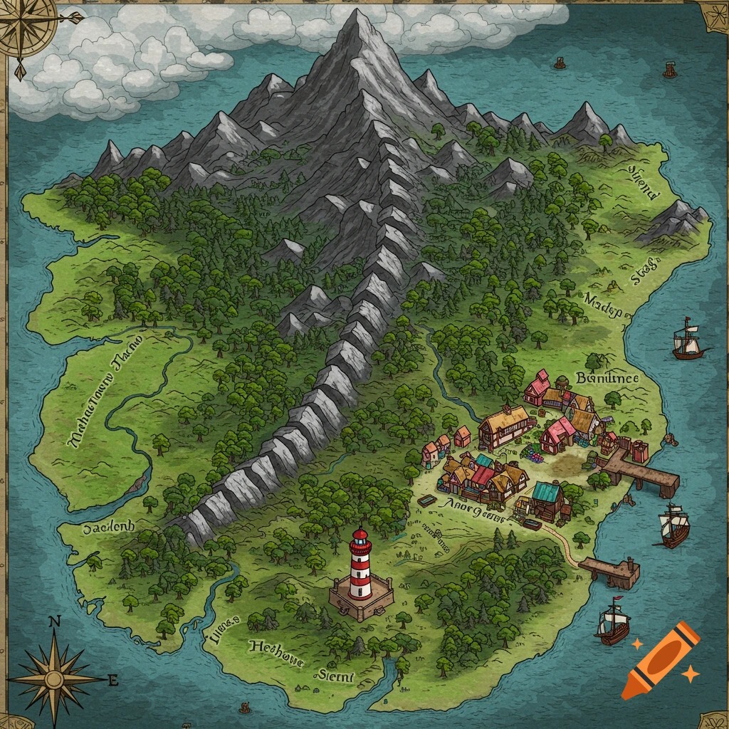
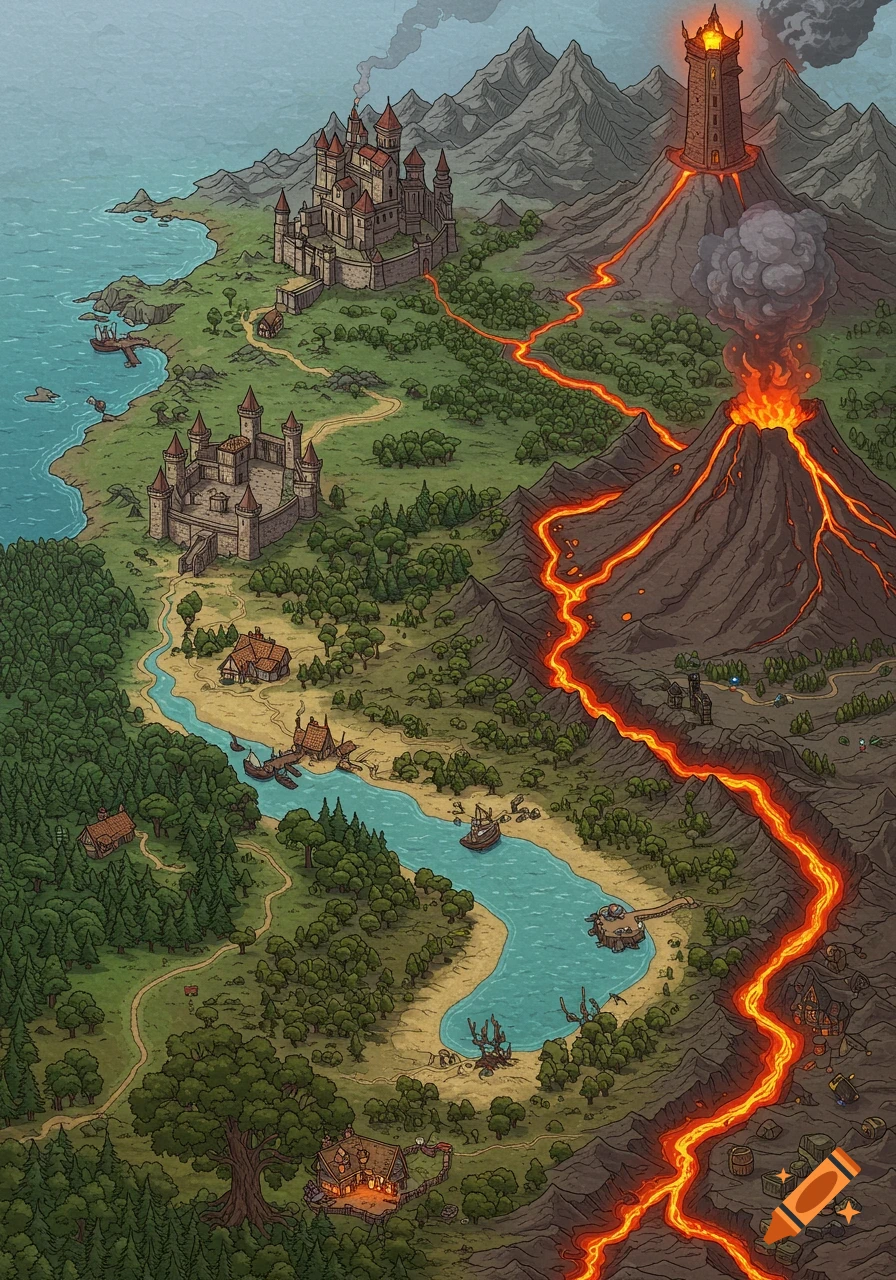
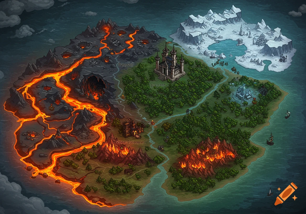
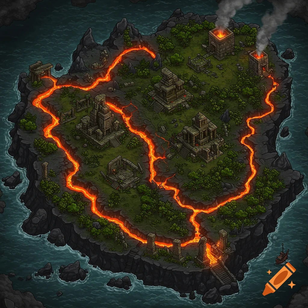
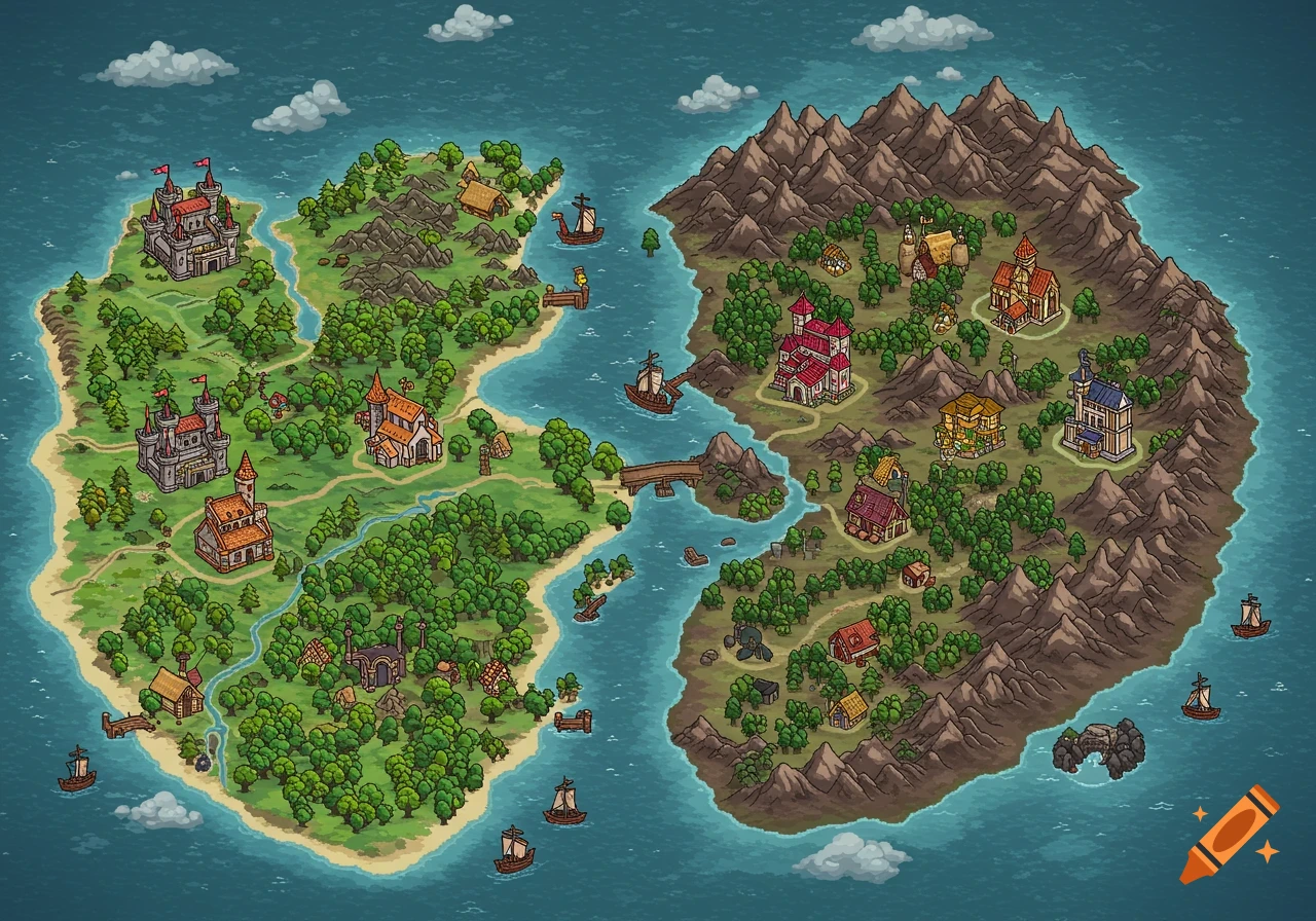
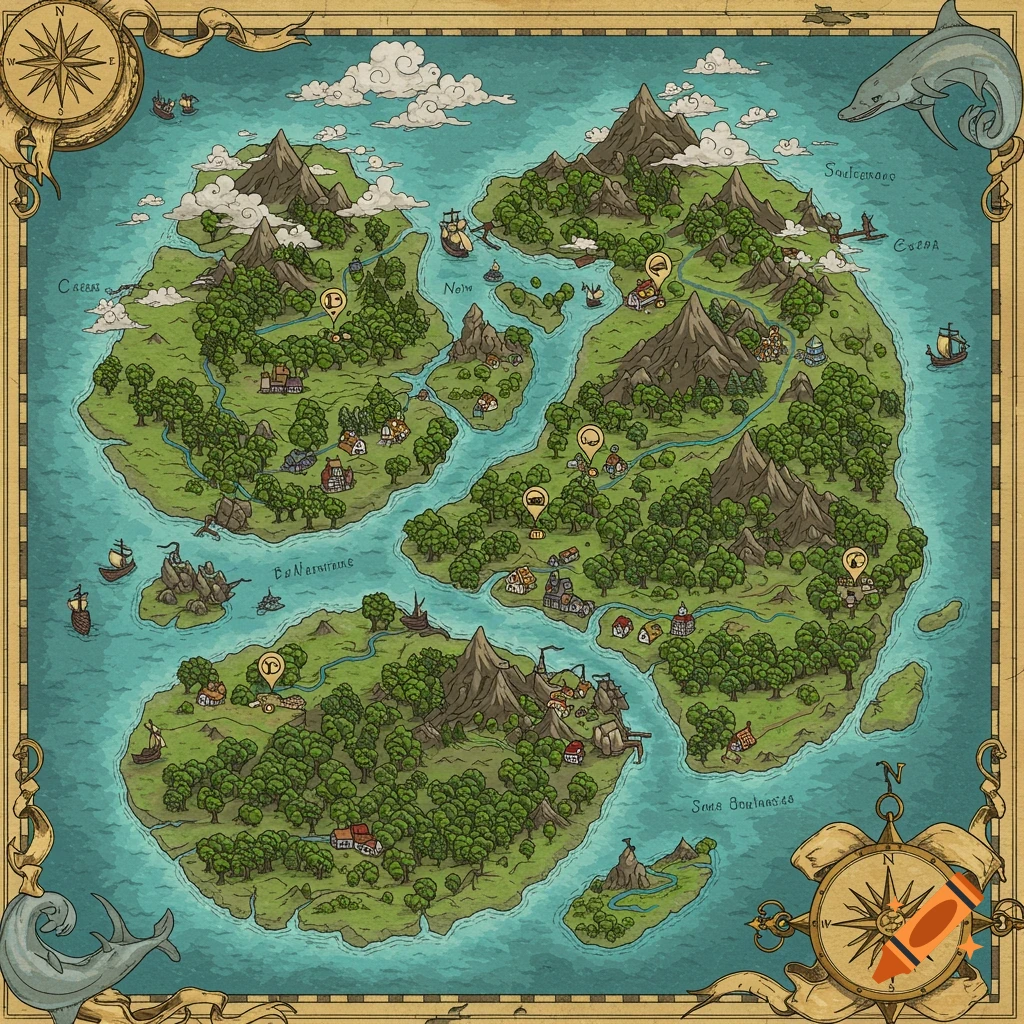
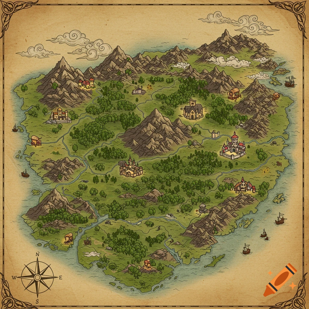
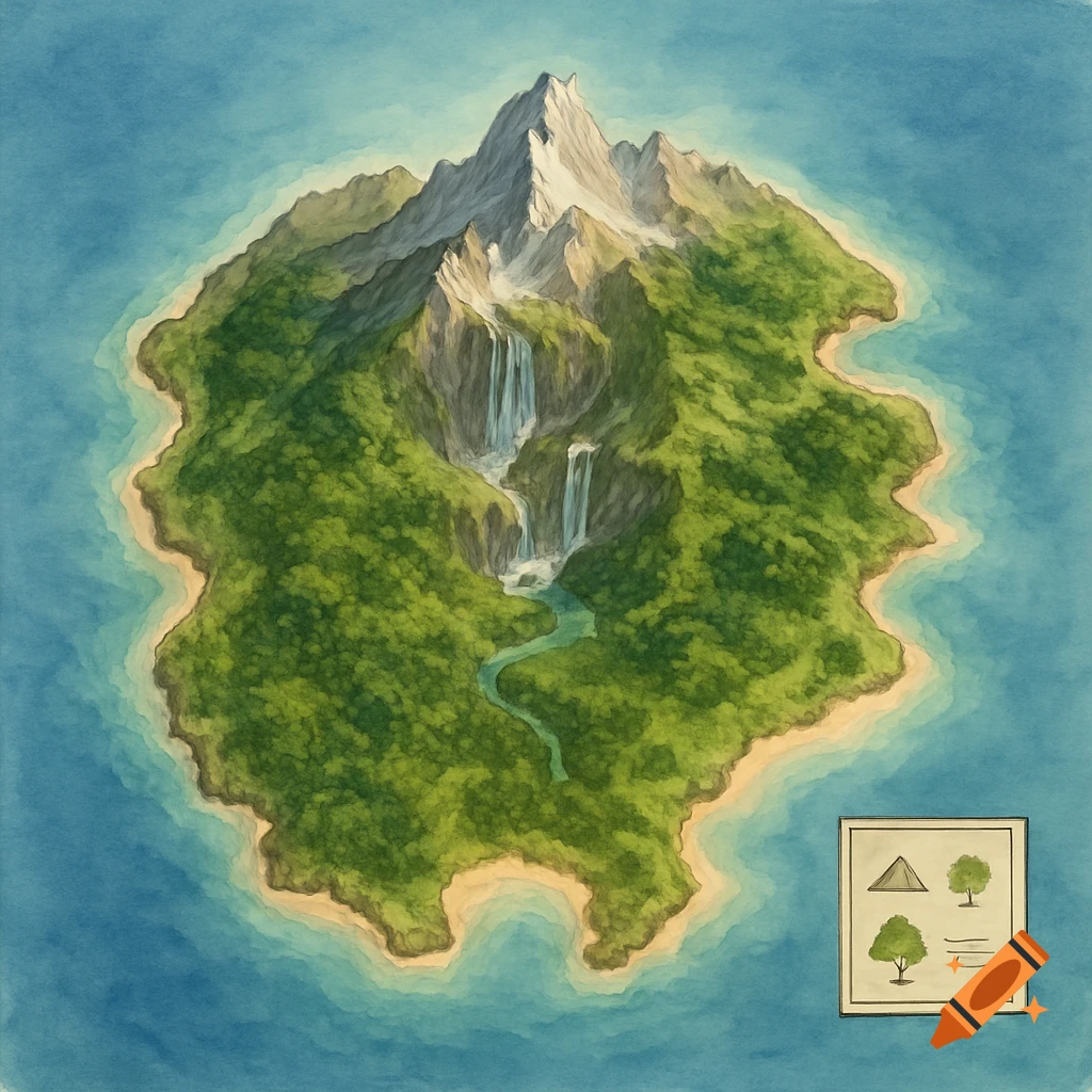
Hand-drawn fantasy map of an island with a volcano, mountains, cave, glacier, 8 square plots, and winding dirt paths.

Create an angled, hand-drawn style map of a medium-sized island surrounded by water with the following features: • The island outline should reflect a roughly bean-like shape with a small secondary island off the eastern coast. • There is a volcano in the top-right section of the island, kept relatively tight to that corner. • A mountain range with a visible cave is located in the top-left region, separate from the volcano. • In the bottom-left, there’s a glacier area with visible icy textures, distinctly different from the mountain terrain. • A circular arrangement of 8 square plots sits near the center-left of the island. Each plot is spaced at least half a plot apart, and outlined with light rock formations or terrain borders. Slightly varied elevations and scattered rocks separate them. • A large dirt clearing is pulled outward to the bottom-right corner, extending the land in that area. It’s angled to face the plots and looks like a space for future buildings or structures. • Winding dirt paths (brown) connect all key features: plots, volcano, mountain/cave, glacier, and the dirt clearing. The map should have a stylized, adventure-RPG trail-map look, with moderate detail, natural transitions between terrain types, and a 3D-angled perspective. Colors should be earthy and textured, but not hyper-realistic. See more