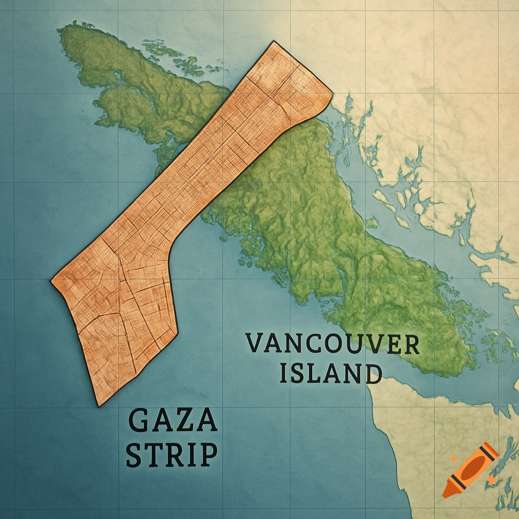
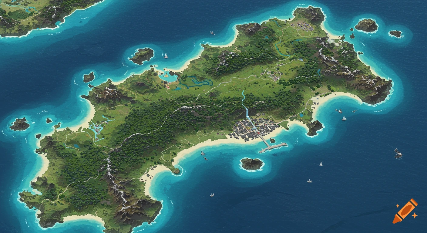
Top-down aerial map of Öland island with a semi-transparent Gaza Strip overlay for size comparison, showing green land and blue sea.
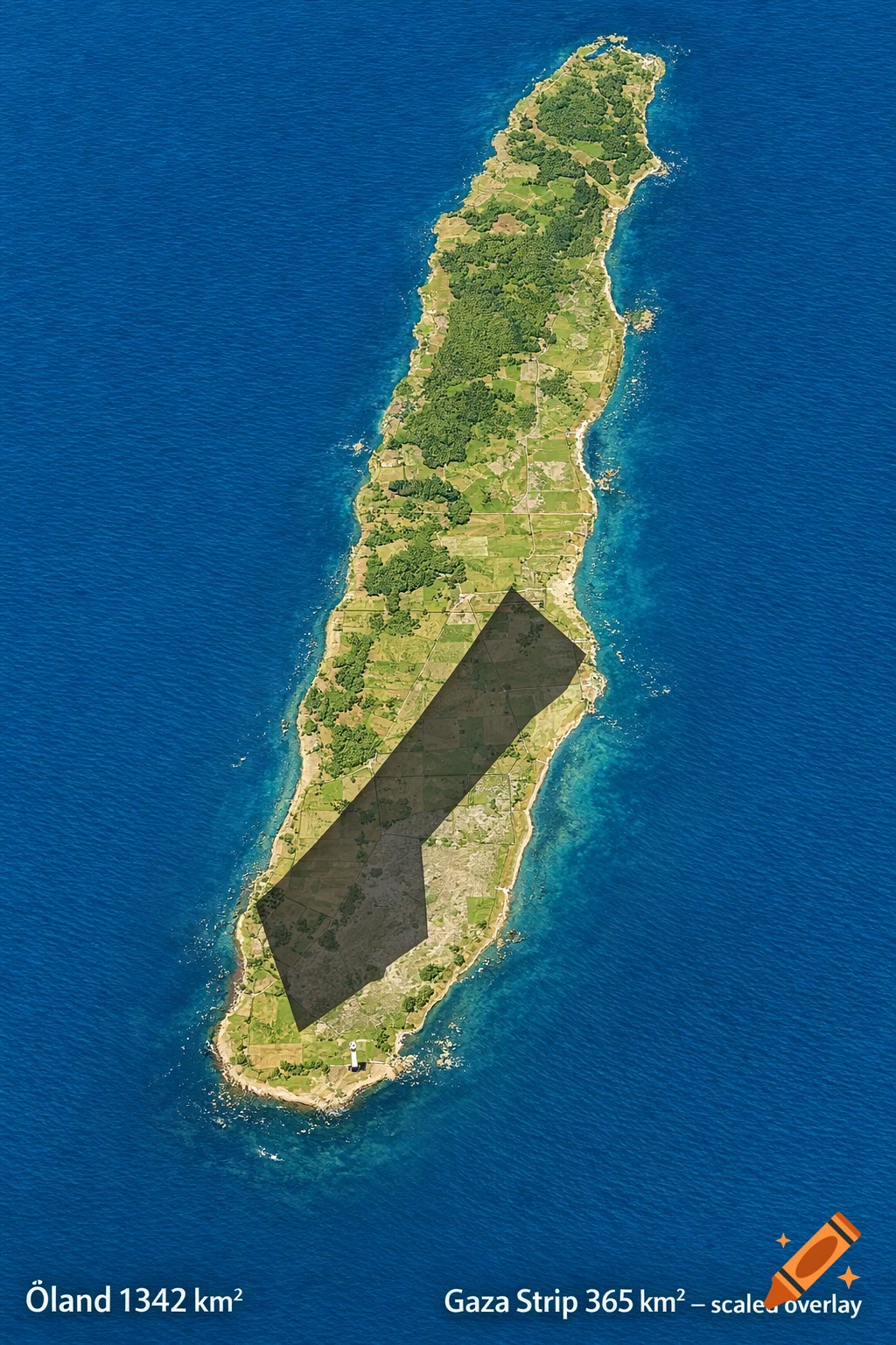
A realistic top-down map comparison of the Swedish island Öland in the Baltic Sea, accurate real-world shape and proportions. Öland is a long narrow island oriented north-south, about 137 km long and up to 16 km wide, area 1342 km², with green land, blue sea around it, clear coastline, include southern tip with Ottenby lighthouse area and Stora alvaret plain visible. Overlay a darker semi-transparent (60% opacity) silhouette of the Gaza Strip exactly scaled by real land area for size comparison. Gaza Strip area 365 km² (about 27% of Öland), long narrow strip 41 km long and 6-12 km wide. Place the Gaza silhouette scaled correctly in the southern part of Öland, covering roughly the southern third near Ottenby and the southern alvar, positioned along the west or central-south so it fits naturally without going outside the island edges. Keep the full Öland map clearly visible underneath the overlay for easy proportion understanding. Professional geographic style, clean detailed map look, realistic colors, subtle terrain shading, no text distortions, neutral and educational. Add small discreet text labels in corners: "Öland 1342 km²" and "Gaza Strip 365 km² – scaled overlay". Sharp edges on silhouette, photorealistic rendering. See more