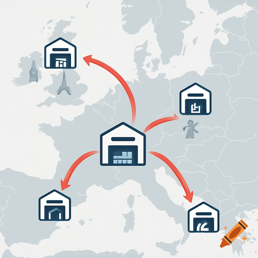
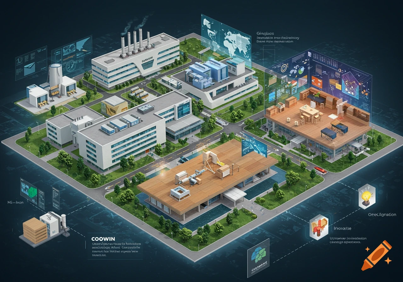
Infographic map of an industrial supply chain: central manufacturing hub, supplier nodes, and cargo port with ships.
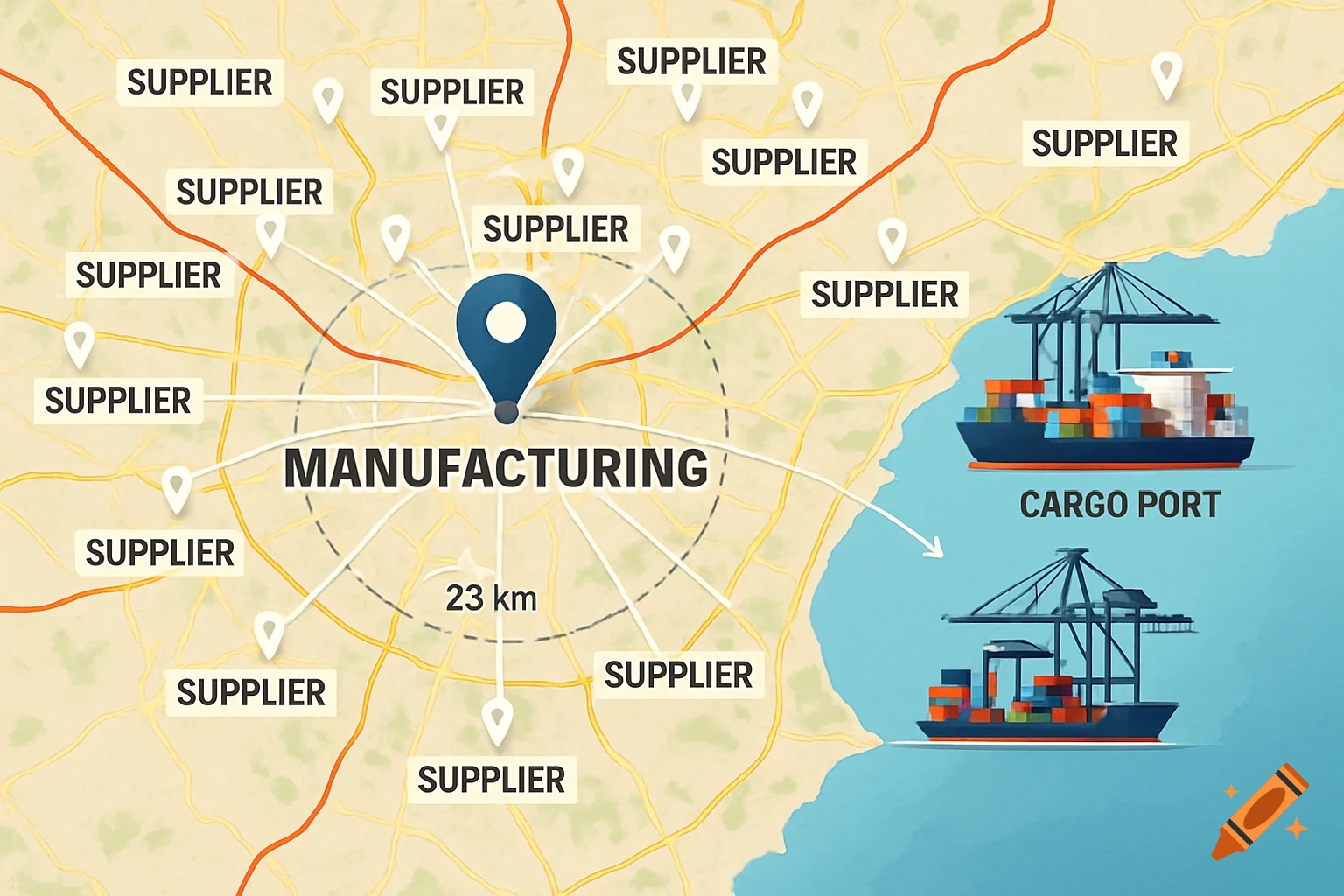
Realistic industrial supply chain map with central manufacturing hub marked by bright blue pin. Radiating lines connect to 12-15 surrounding supplier nodes within 25km radius. Large modern cargo port visible to the east with container ships and loading cranes. Color-coded roads (red primary, yellow secondary). Professional GIS cartographic style with elevation shading. Mediterranean coastal geography. High resolution corporate infographic. Suitable for business presentation. See more