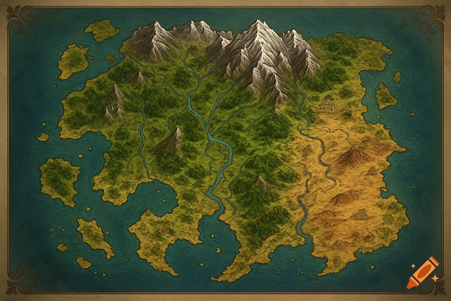
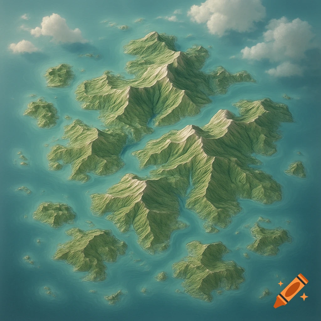
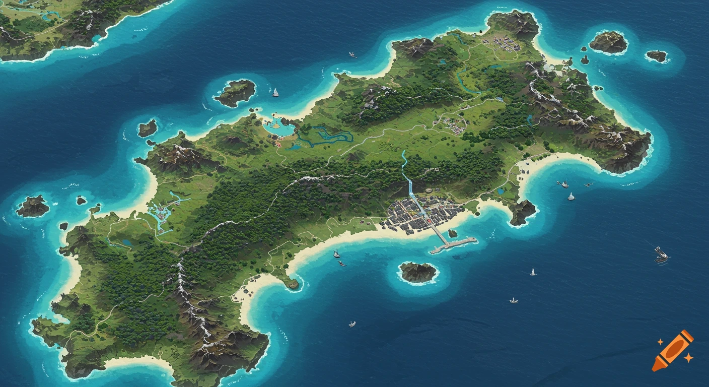
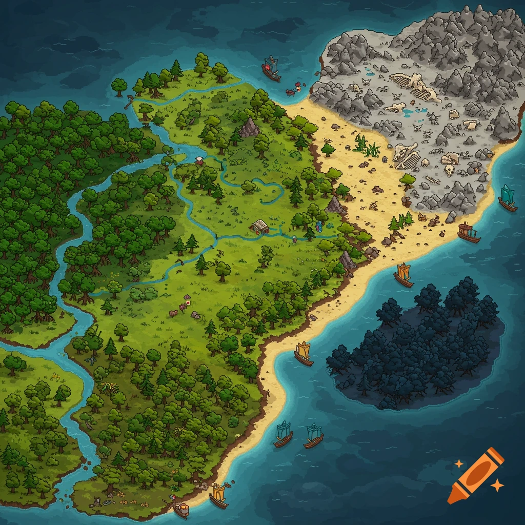
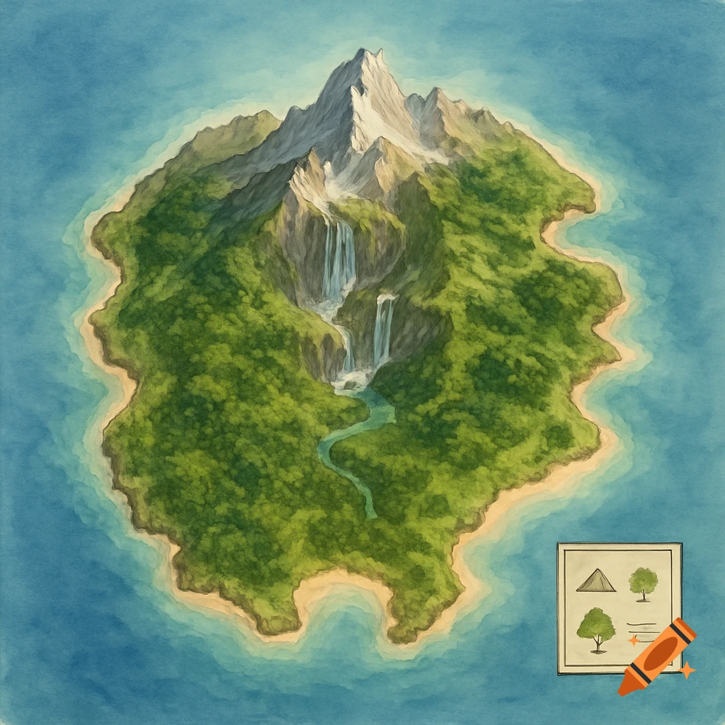
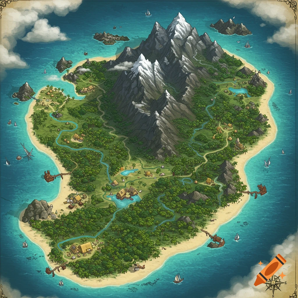
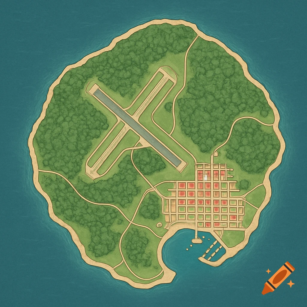
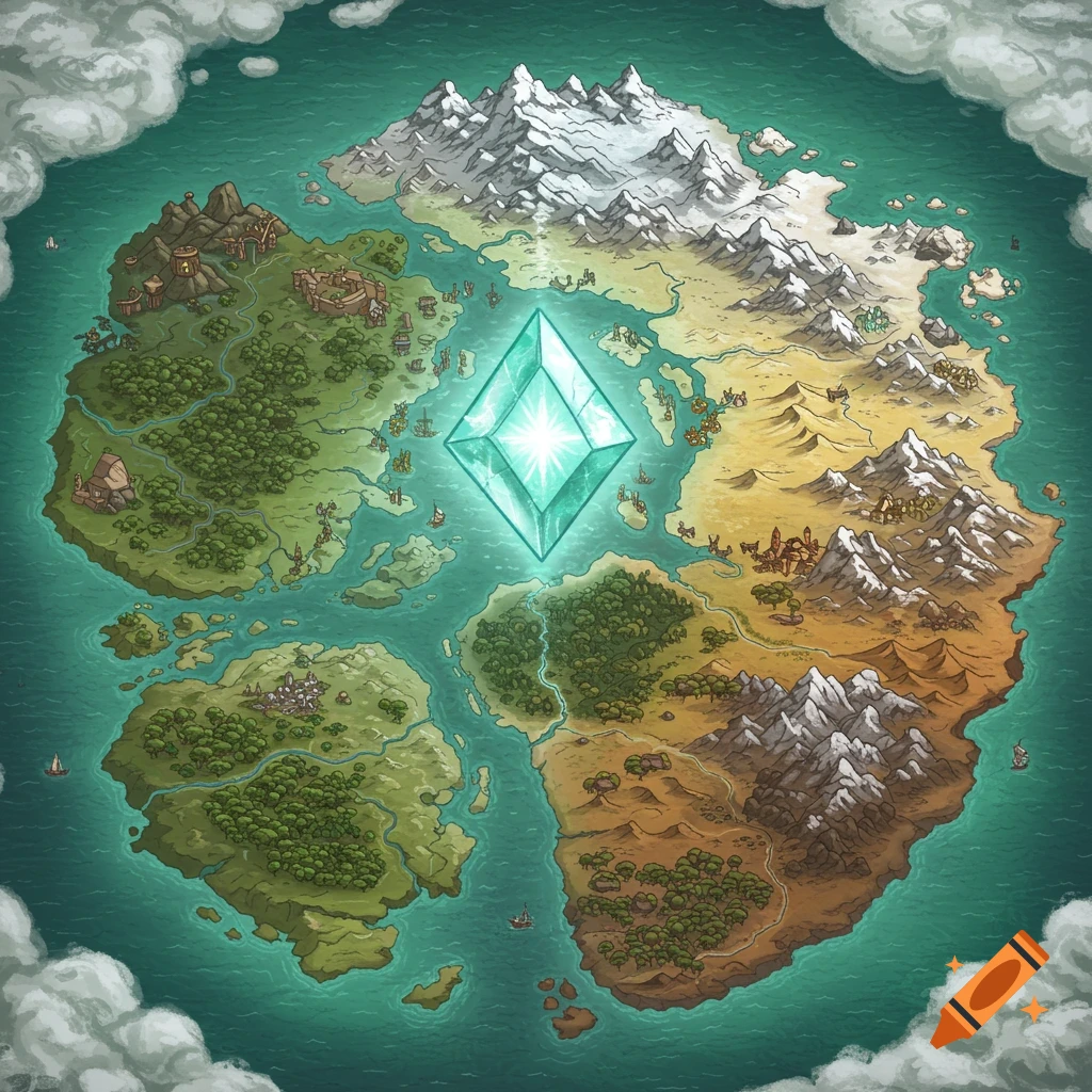
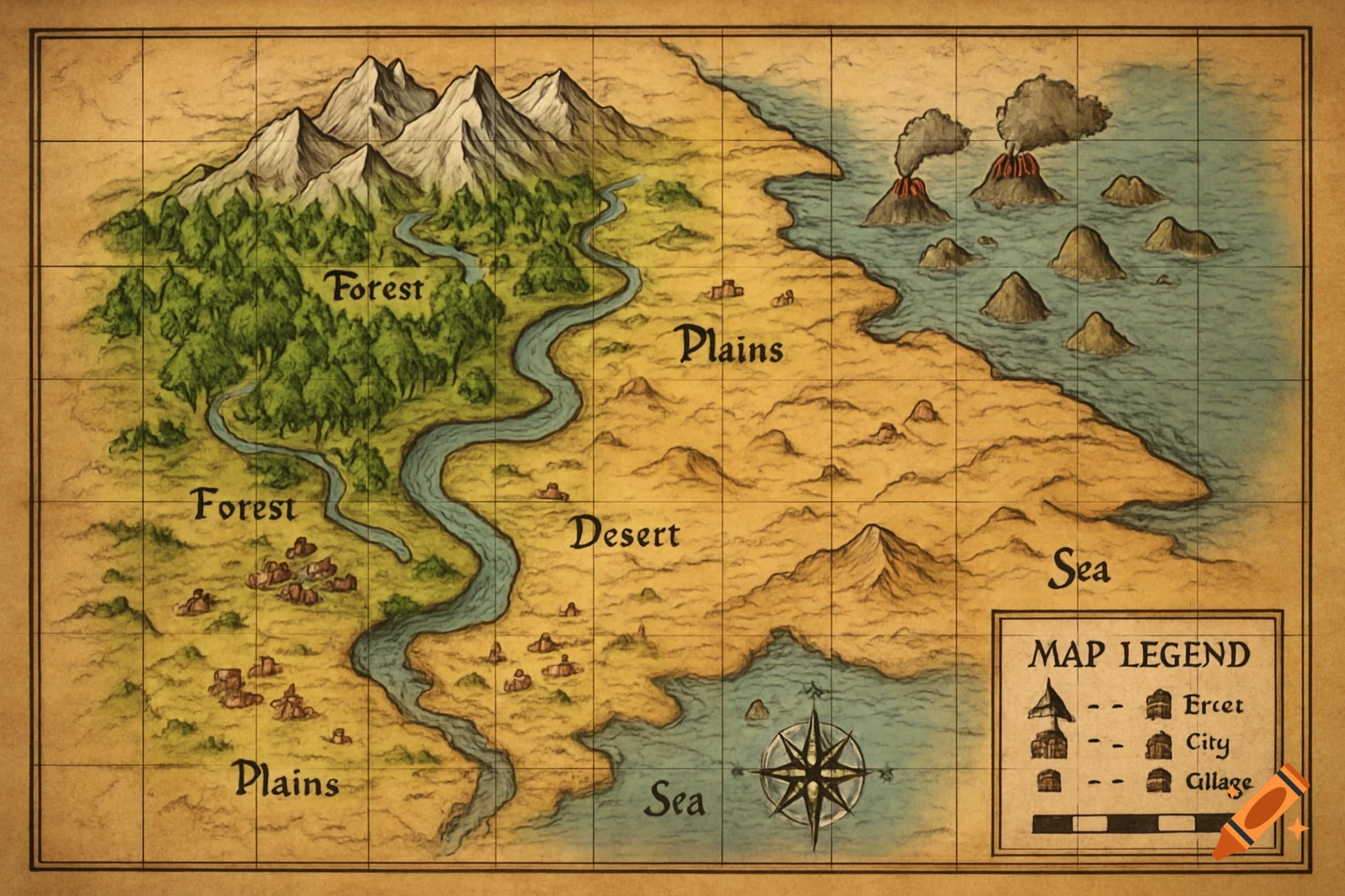
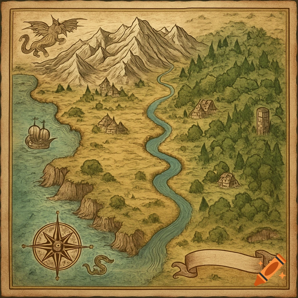
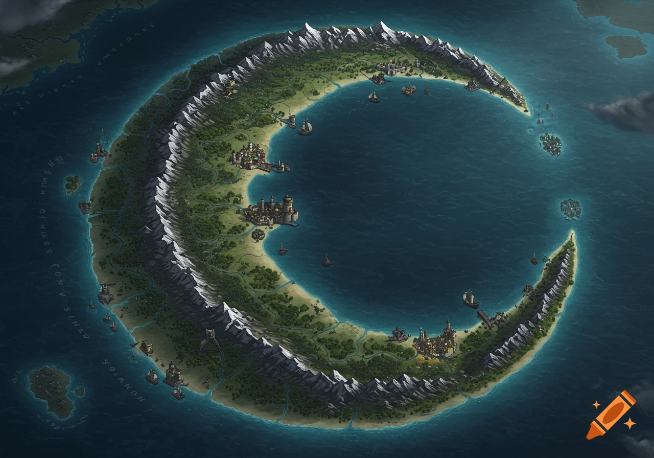
Overhead watercolor map of a green island with northern mountains, eastern forests, southern sandy beaches, and a central urban grid.
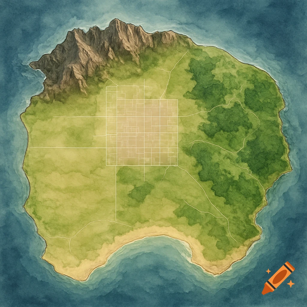
A map of an island with the central area for urban development. This area is naturally flat. To the north there are mountains and cliffs, as well as rocky beaches. To the south there are mostly just sandy beaches. To the east, there are hills, valleys, and forests, and flat plains areas to the west. See more