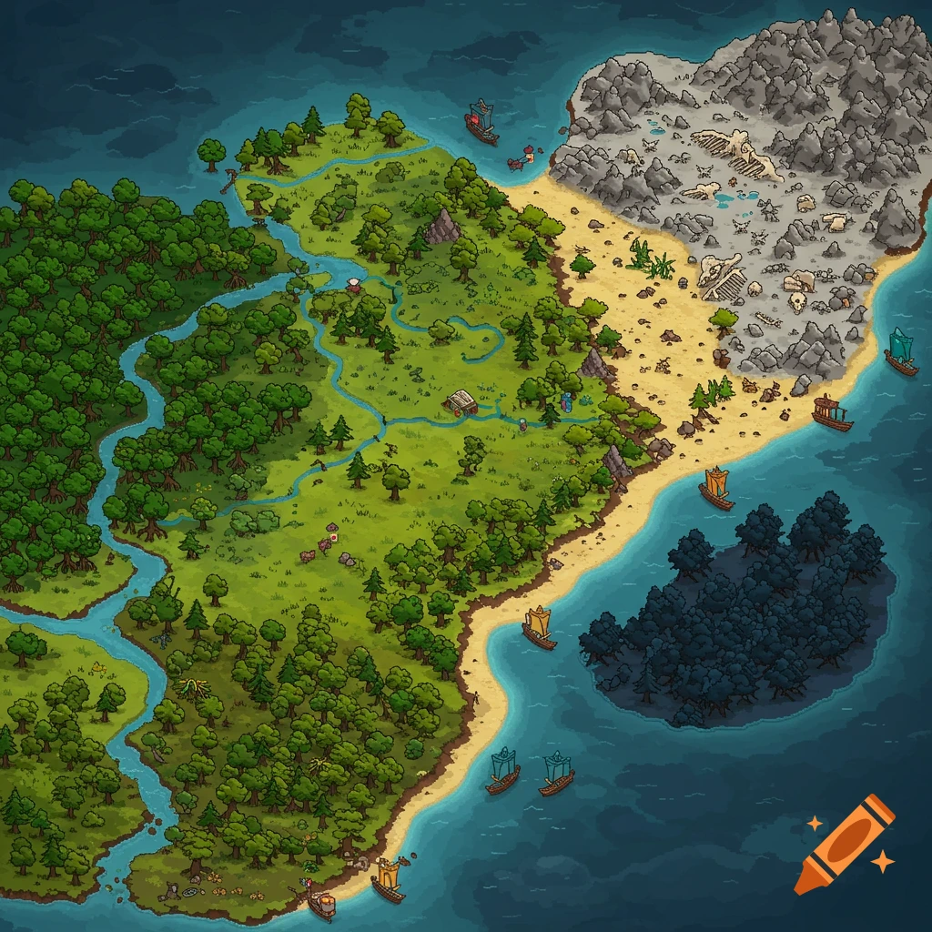
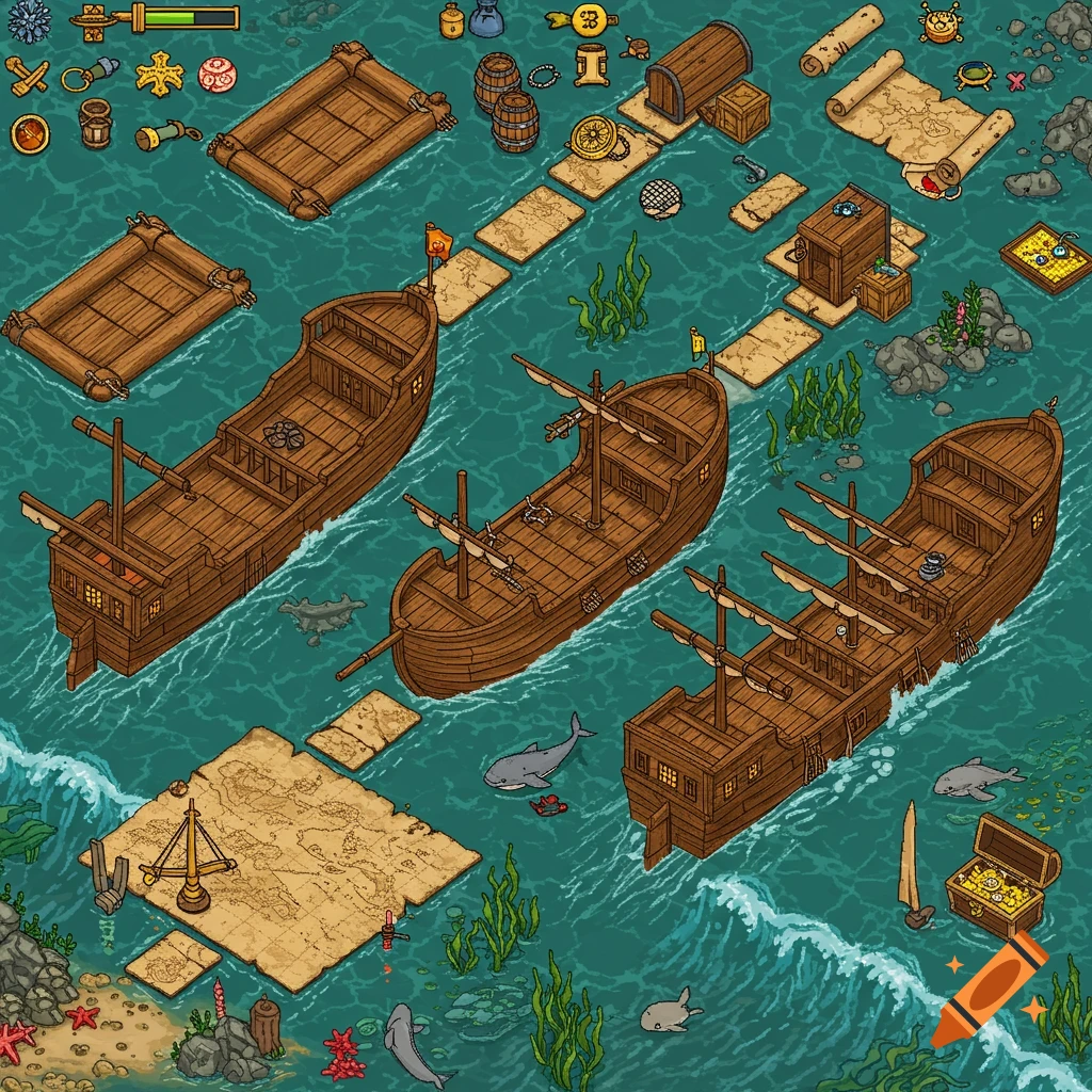
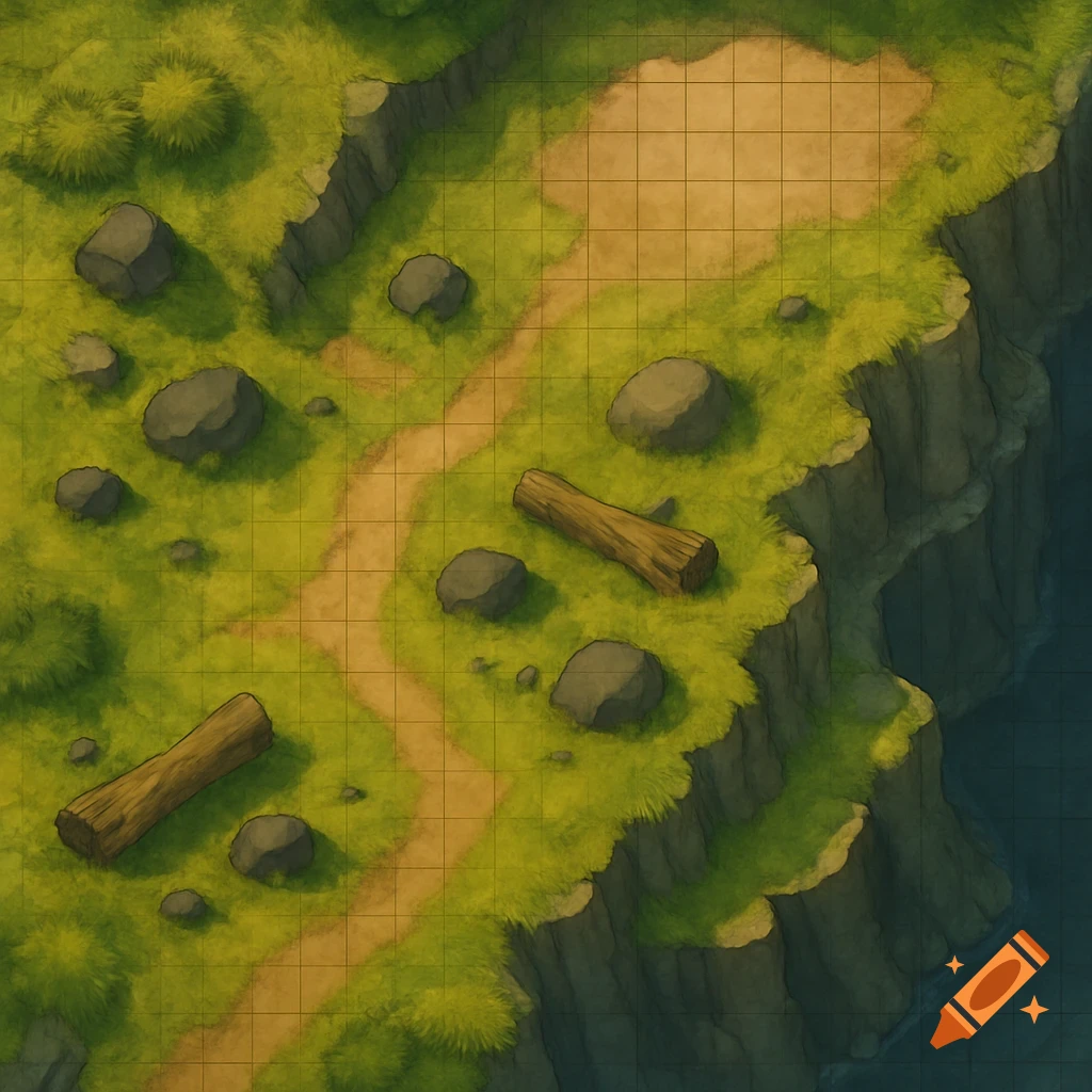
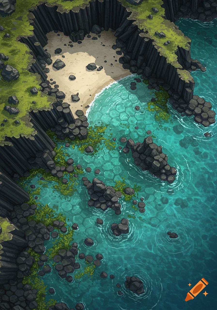
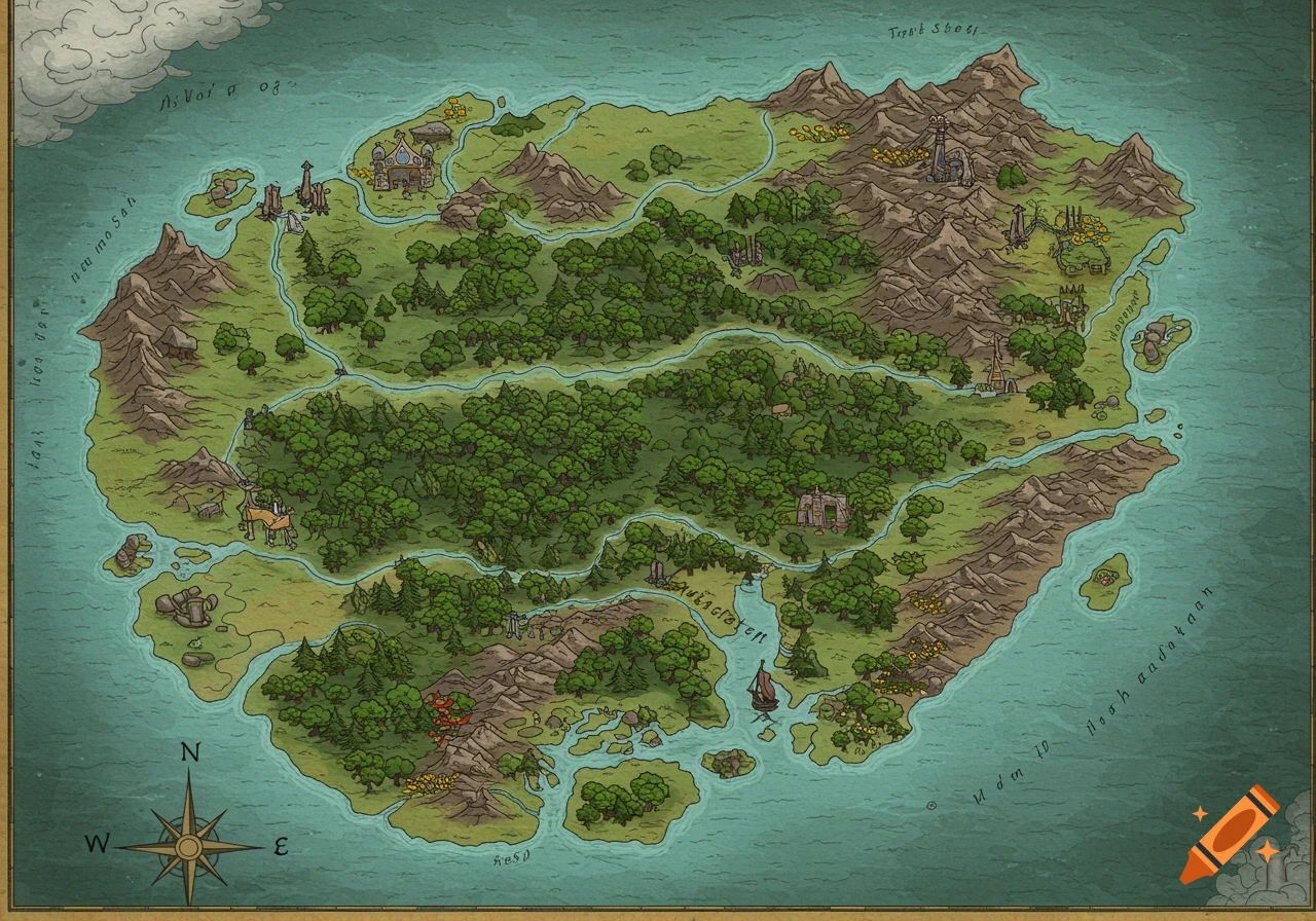
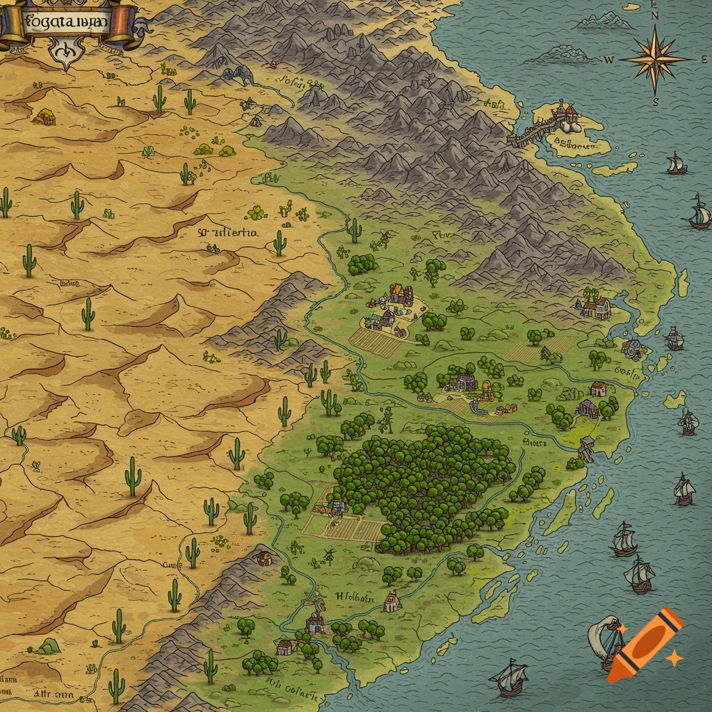
Top-down DND-style battlemap of a rugged coastline with a sandy beach, green land, and ocean with scattered rocky outcrops.
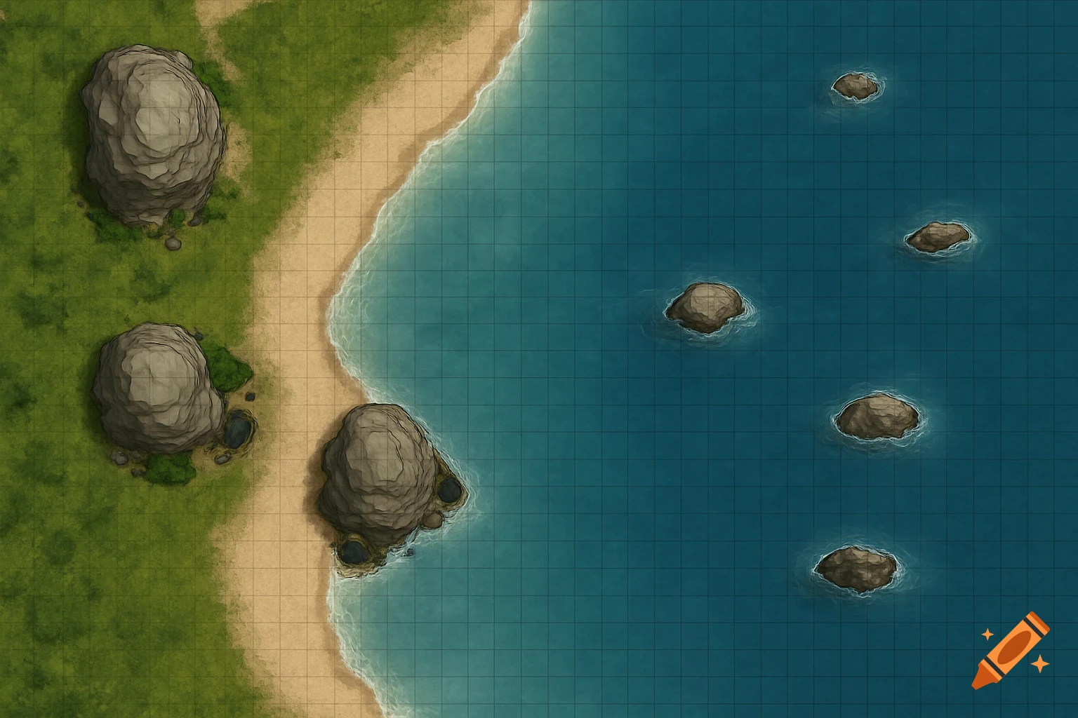
Top-down DND-style battlemap, 1000px tall and 2800px wide, designed for virtual tabletop use at high resolution. The west (left) edge of the map features a rugged coastline running the entire length north to south, occupying the leftmost one-tenth of the map’s width. The coastline is irregular, with three prominent rocky outcrops spaced at intervals: one near the northern tip, one at the center, and one in the southern third. Each outcrop is 15 feet wide and extends 10 to 20 feet into the water, composed of layered gray stone with visible barnacles and tidepools. The land portion consists of a sandy beach (10 to 15 feet wide along the entire coast), transitioning to a narrow strip of coarse grass and low shrubs (another 10 feet wide). Seaweed piles and scattered shells dot the sand at irregular intervals. The east (right) side of the map is open ocean. The water is colored in clear, shallow blues near the shore and deepening to darker blues further east for a vast, open feeling. The water is calm, with gentle waves and foam lines lapping against the rocks and beach. Five rocky formations are present in the ocean, forming a rough line about 35 feet from the beach, irregularly spaced vertically. See more