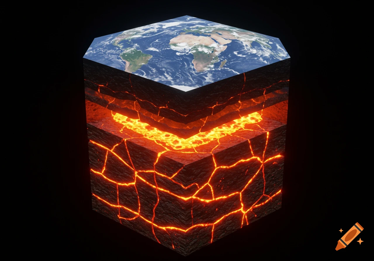
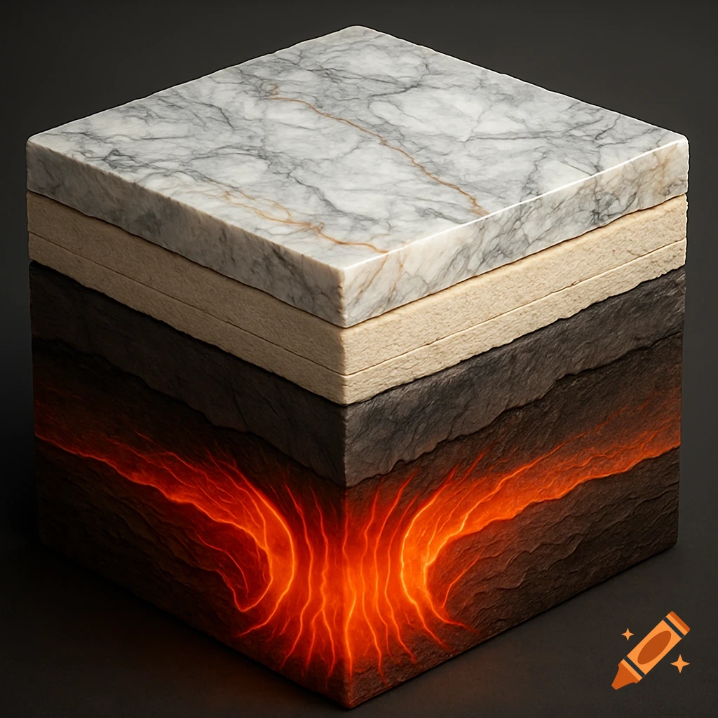
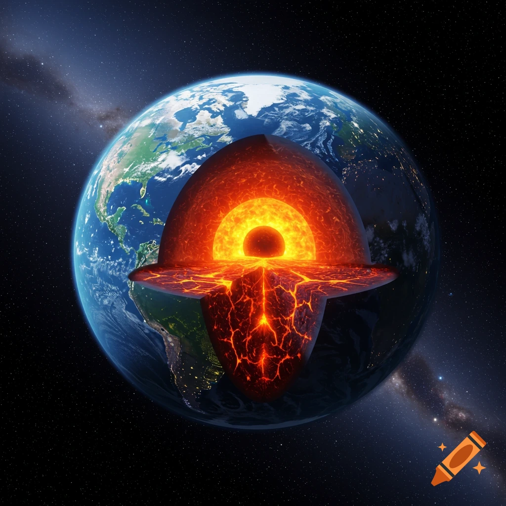
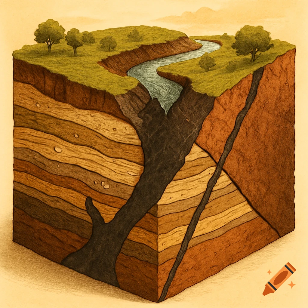
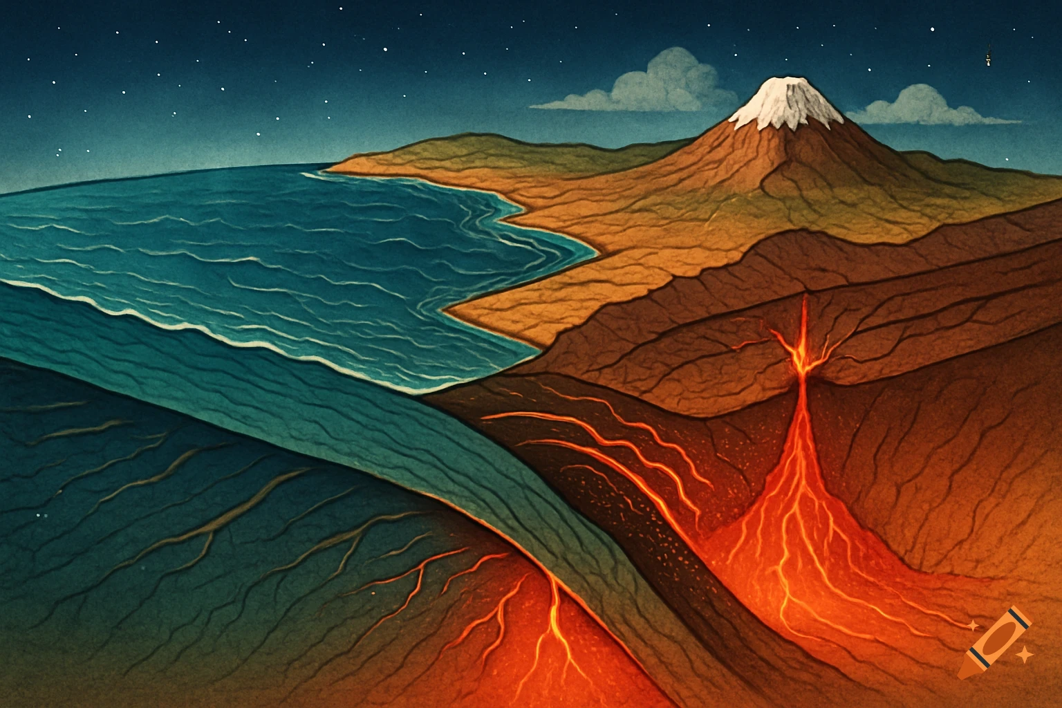
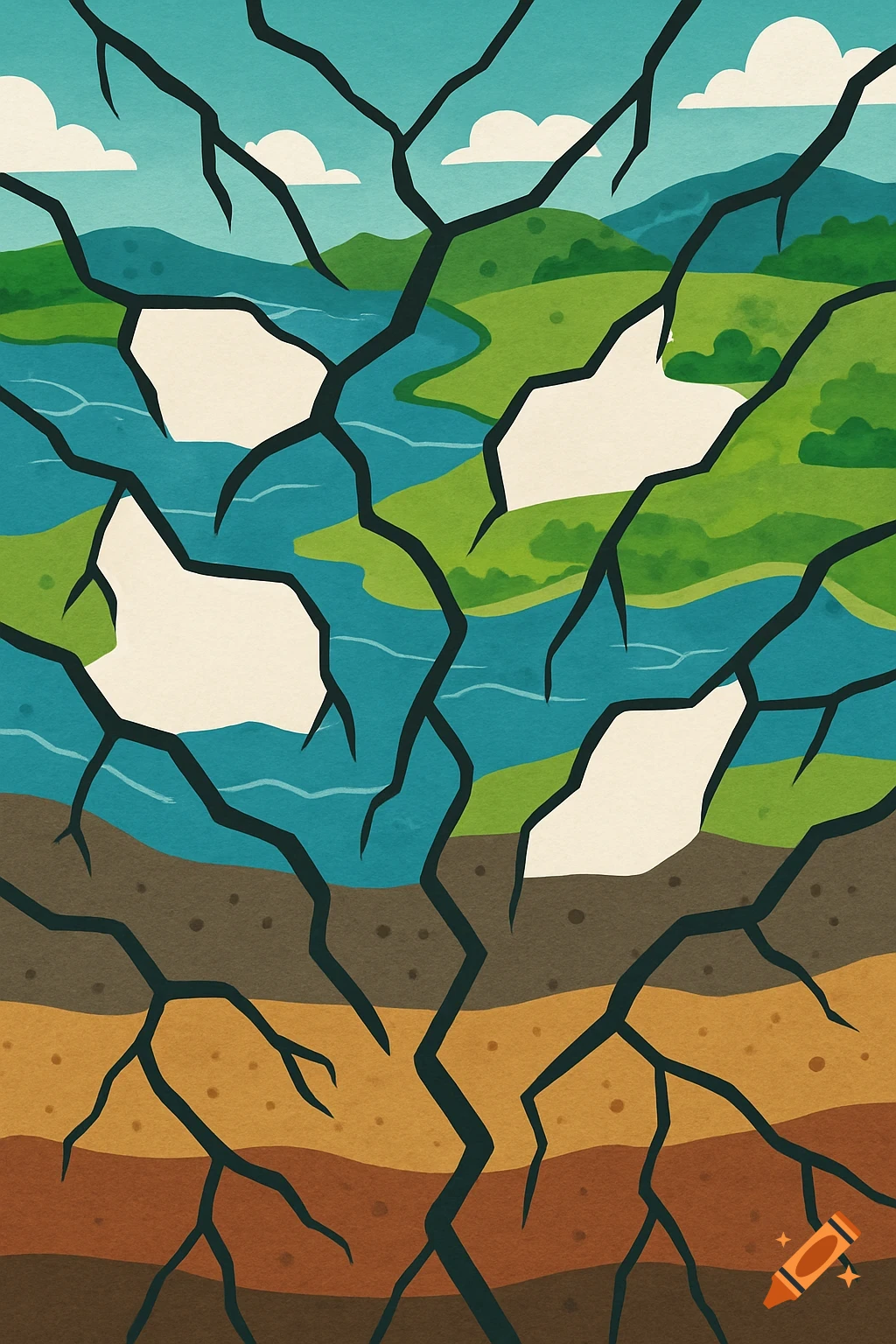
Scientific illustration of geological layers, mountains, rivers, and tectonic subduction.
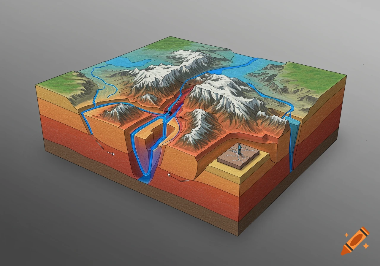
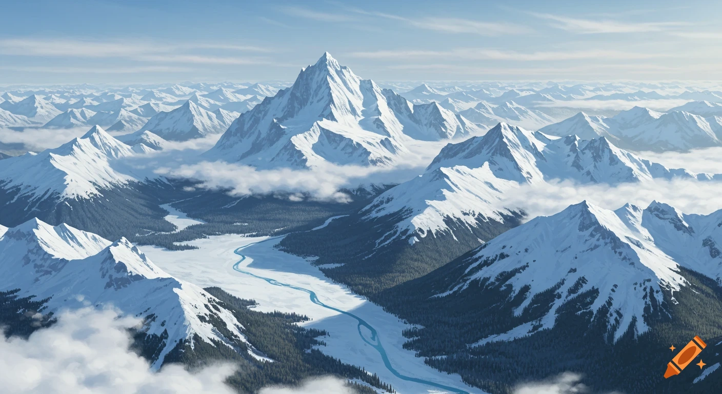
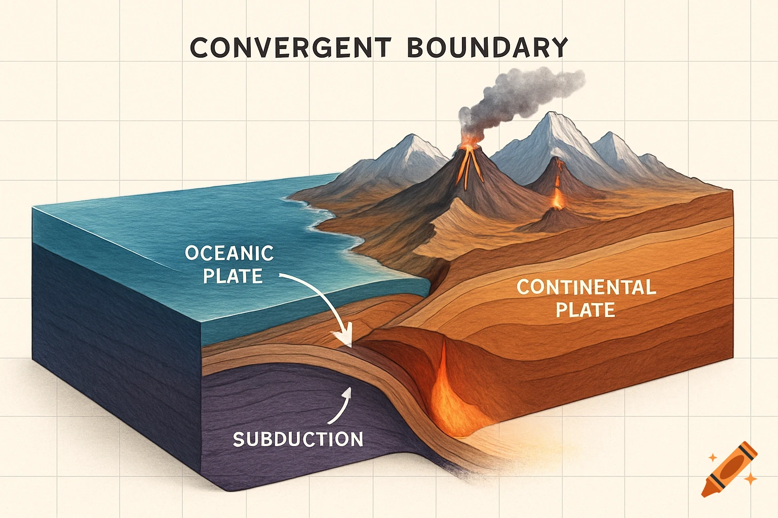
Design, create and submit a scientific 3D model of the formation of a specific topographic feature of the Earth of their choice. That is, a specific mountain range, rift valley, trench, etc. formed by plate tectonic boundary interactions. Rather than a static model, you must demonstrate movement or formation—e.g., a compressional collision, subduction, or rifting action—using mechanisms like pull-apart sections, layers, animation overlays, or materials that can shift during explanation. my chosen formation is the himalyas please make it easy to draw See more