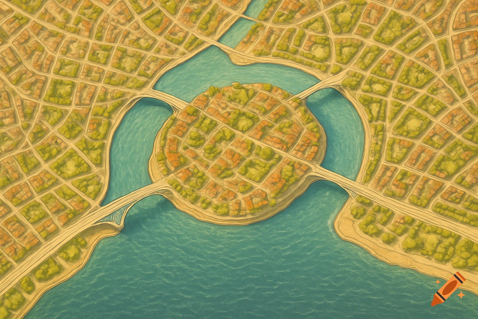
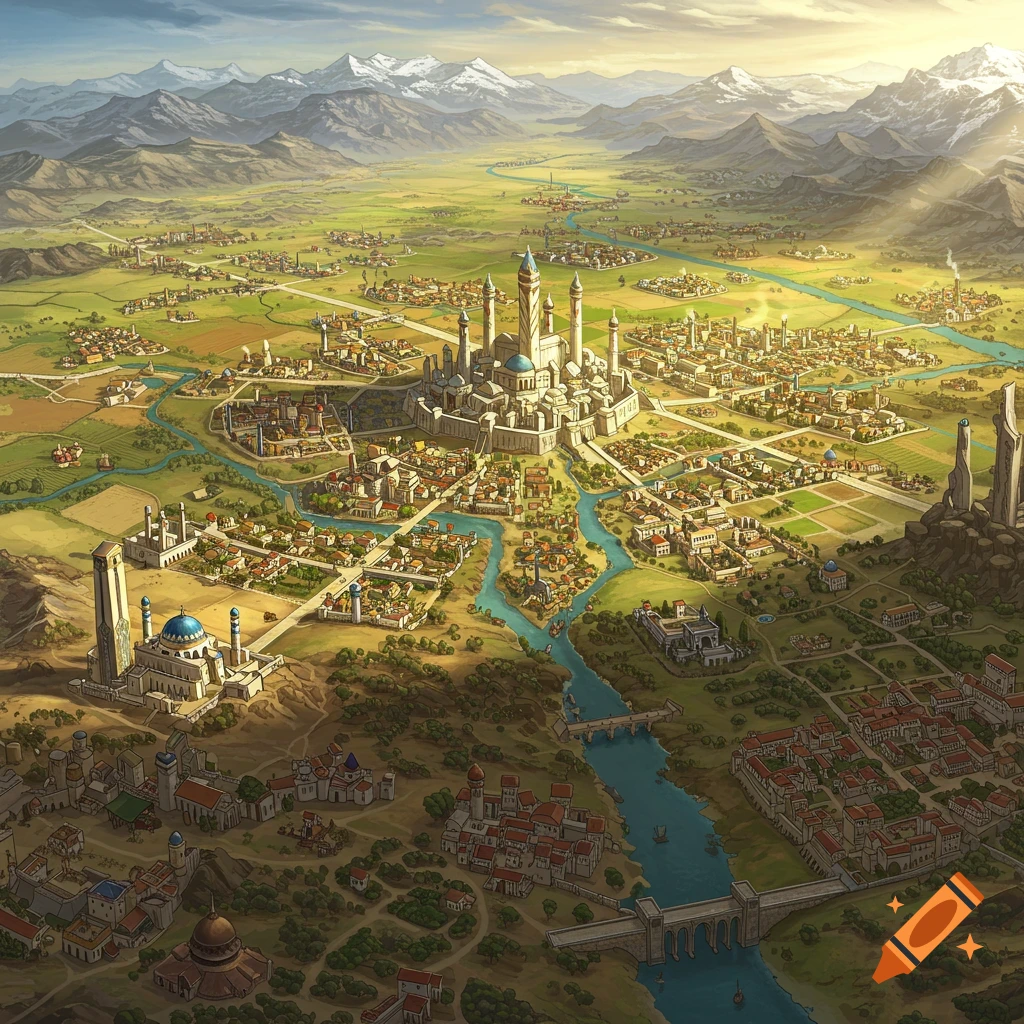
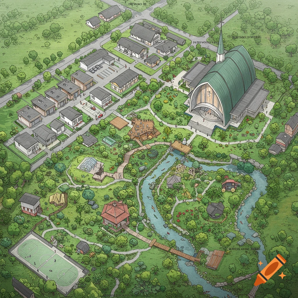
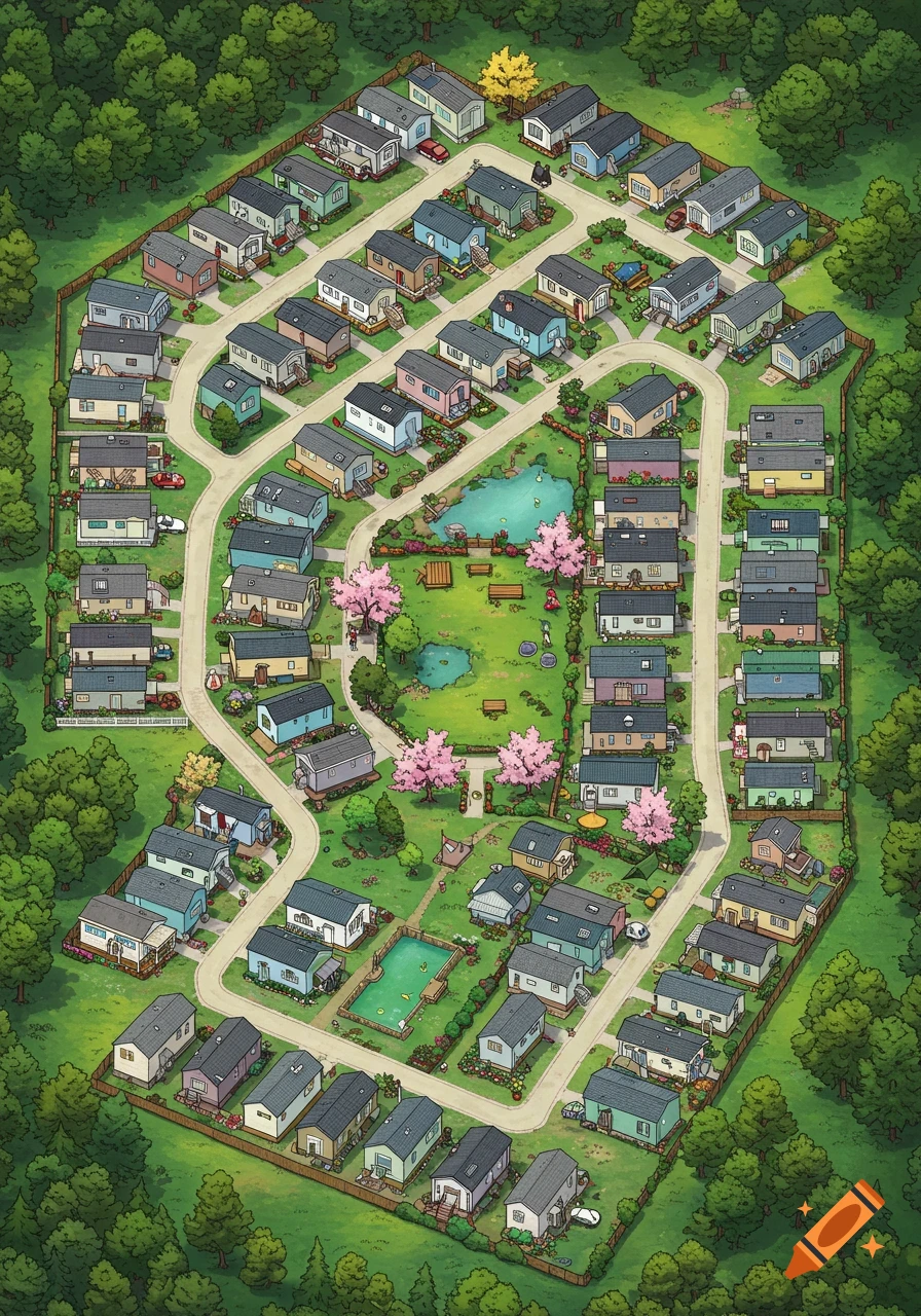
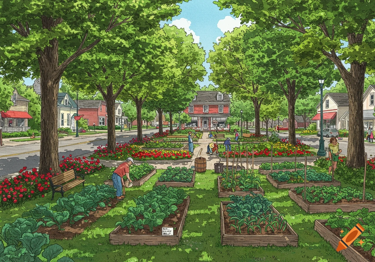
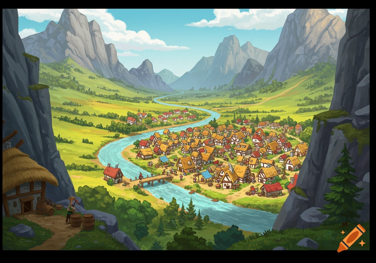
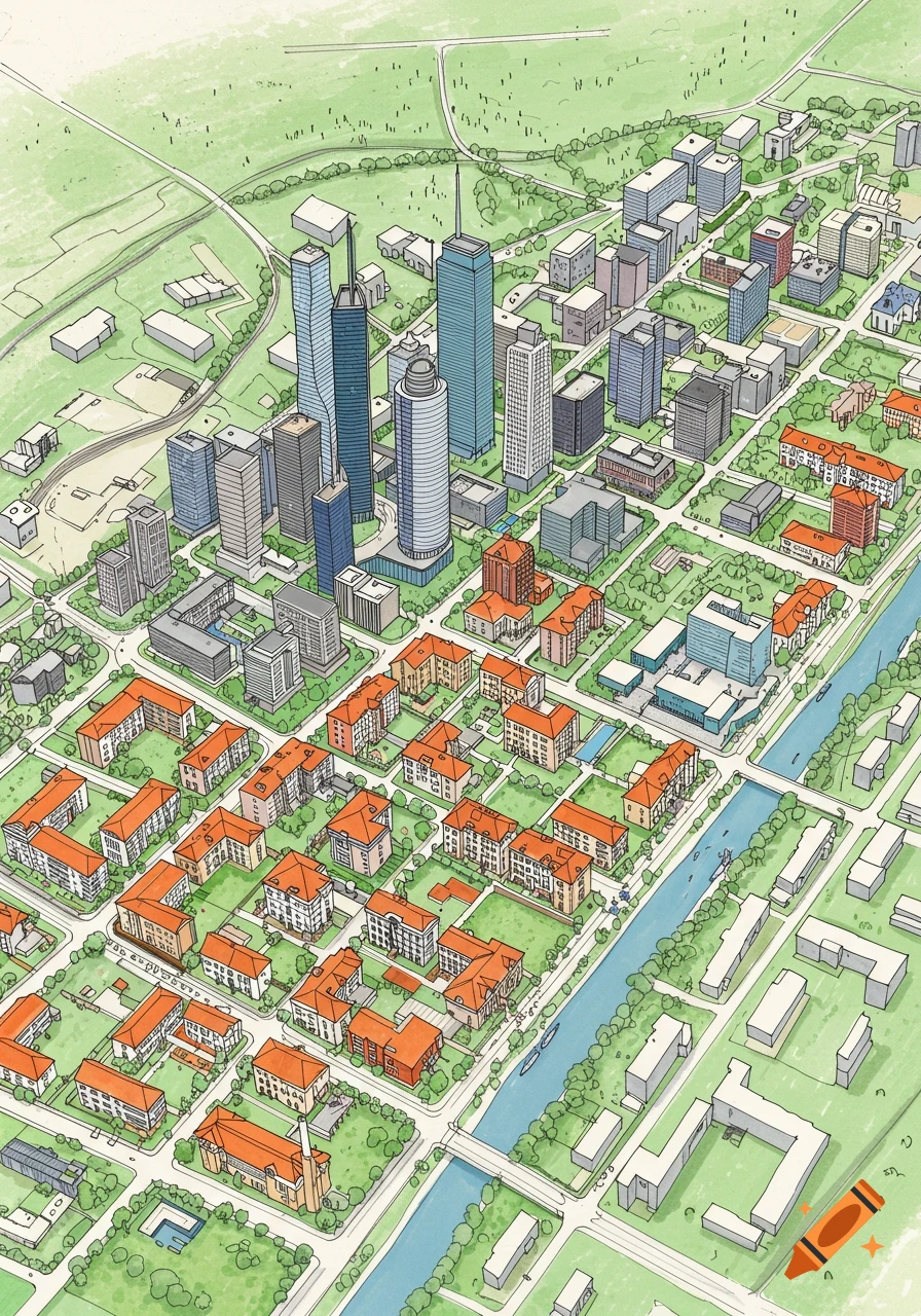
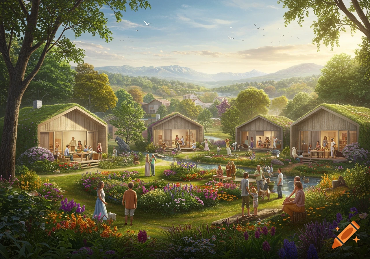
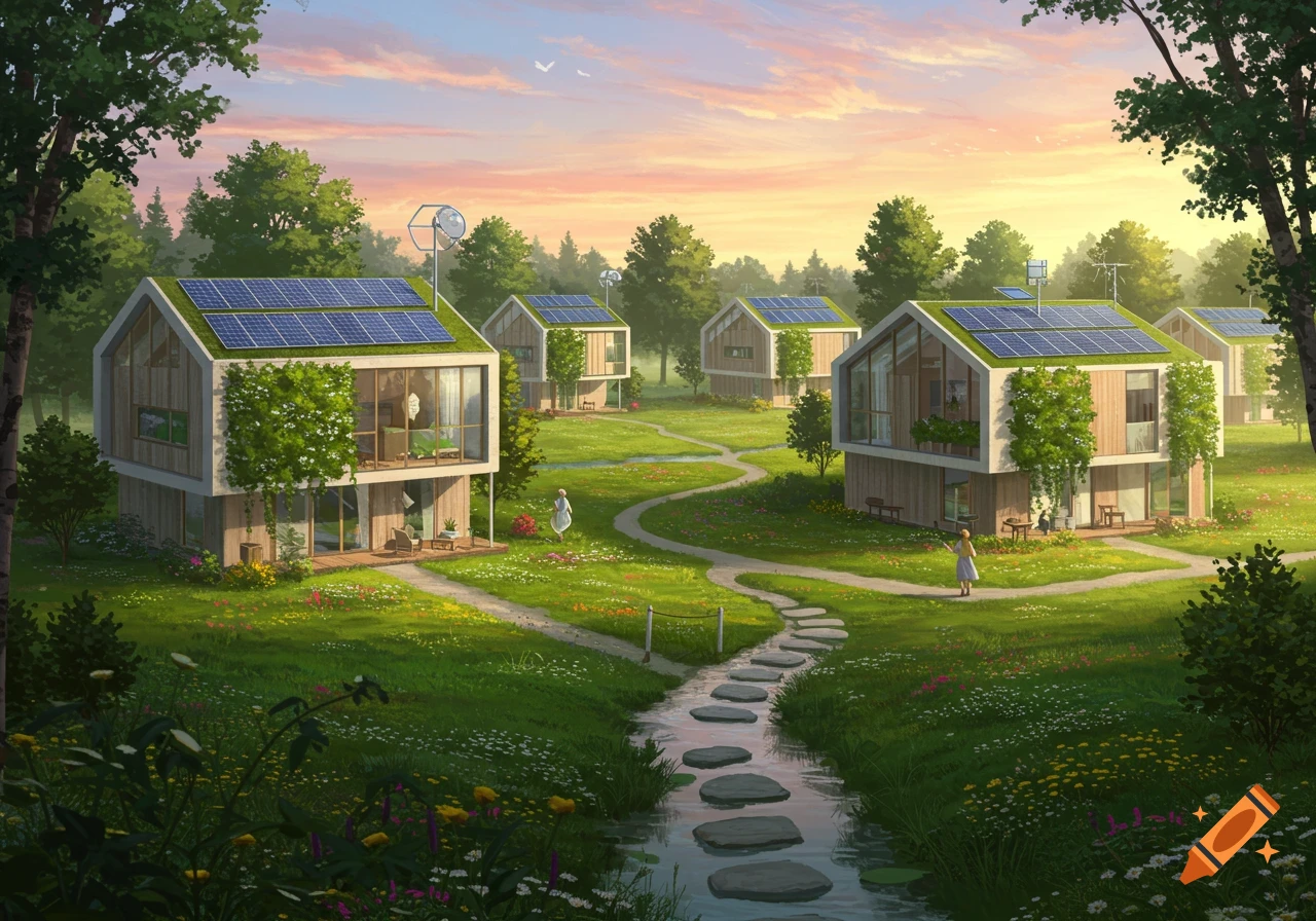
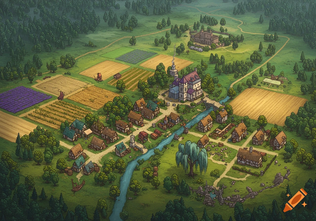
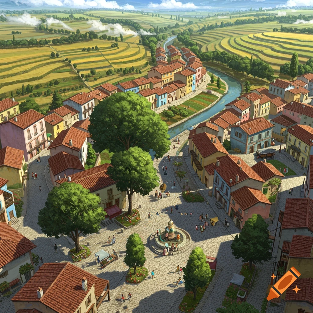
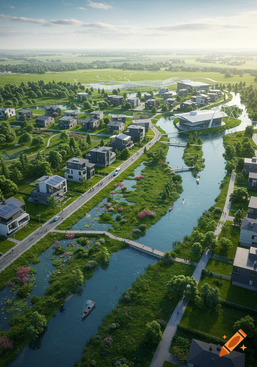
Aerial view of a circular planned town 'Greenhaven' with a central downtown, residential areas, parks, and a river, surrounded by forest.
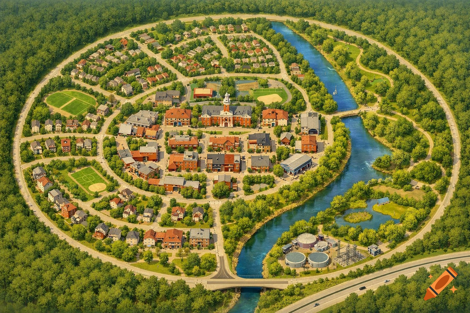
Here’s a clear, easy-to-draw town layout that includes everything on your checklist and follows the environmental rules. After that, I’ll give you websites that can generate it accurately. ✅ Town Layout (Simple & High-Scoring) Town Name: Greenhaven Overall Shape Compact town (circle or oval) to prevent urban sprawl Nature on the edges, town in the center 🗺️ Where Everything Goes 1. River Runs north to south through one side of the town No buildings directly on it (buffer zone) Walking paths and parks along the riverbanks 2. Wetland Located south of the river Marked as protected land Helps with flood control and water cleaning 3. Forest On the west edge of town Some areas labeled protected forest Small section marked reforestation area 4. Housing Apartments: Near town center (close to businesses & public transport) Single-family homes: Around apartments in small neighborhoods Green space between housing blocks 5. Schools 1 elementary + 1 middle/high school Placed between housing areas Near parks (not highways) 6. Businesses Downtown center Grocery stores Library Restaurants Gas station near highway entrance (edge of town) 7. Government Buildings Near downtown: Town Hall Post Office Police Station Fire Station Easy access to main roads 8. Recreational Facilities Large central park Sports fields near schools Movie theater + skating rink downtown Riverwalk trail 9. Utilities Water treatment near river (but outside wetland buffer) Electric substation near industrial edge See more