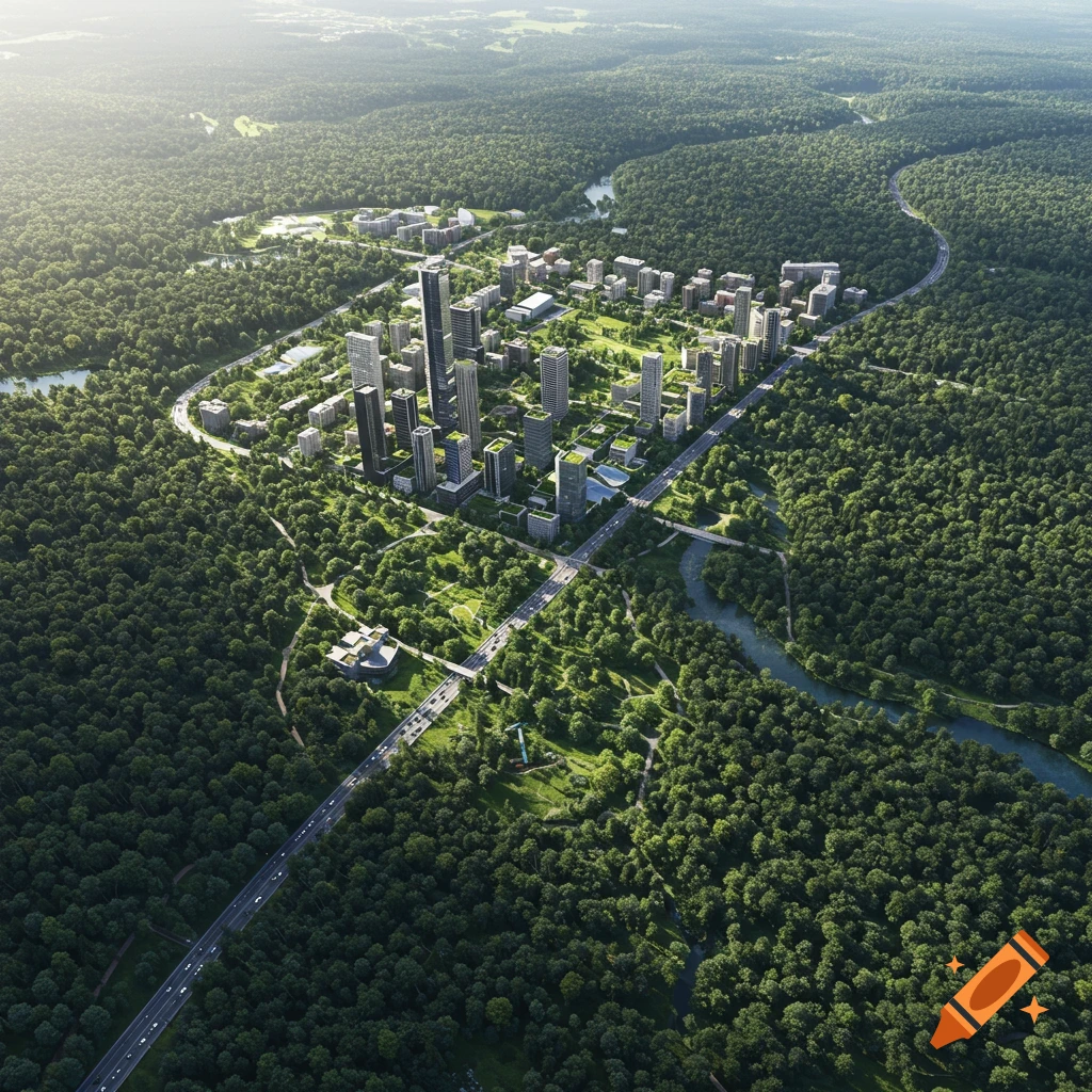
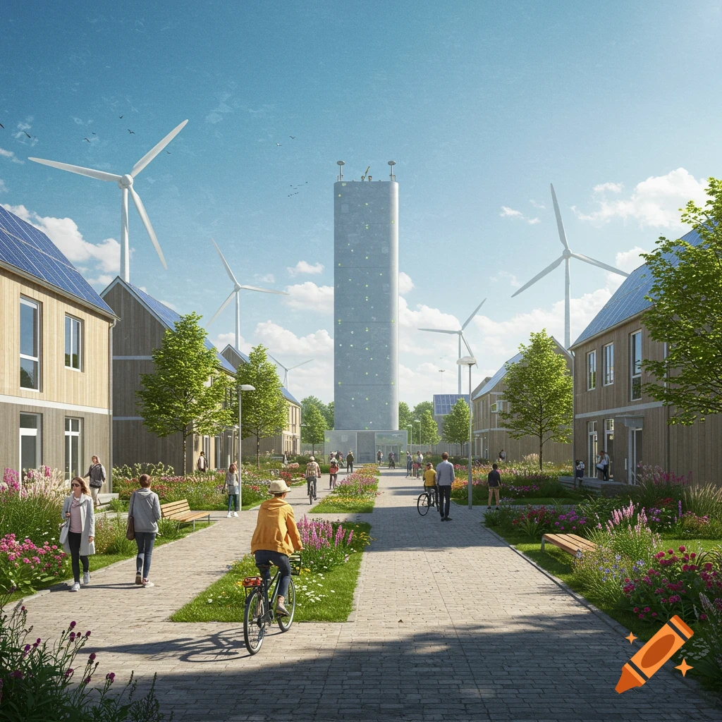
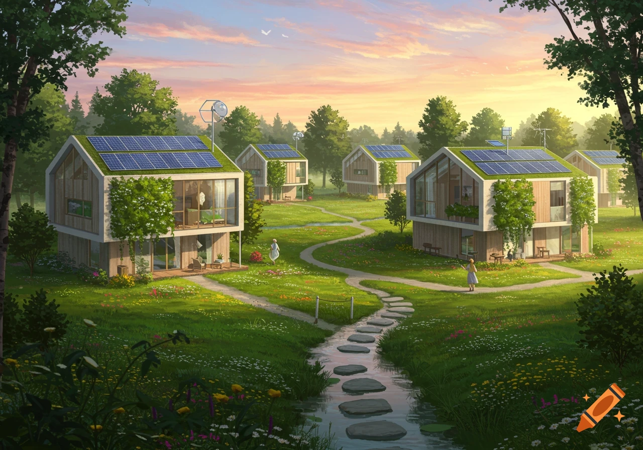
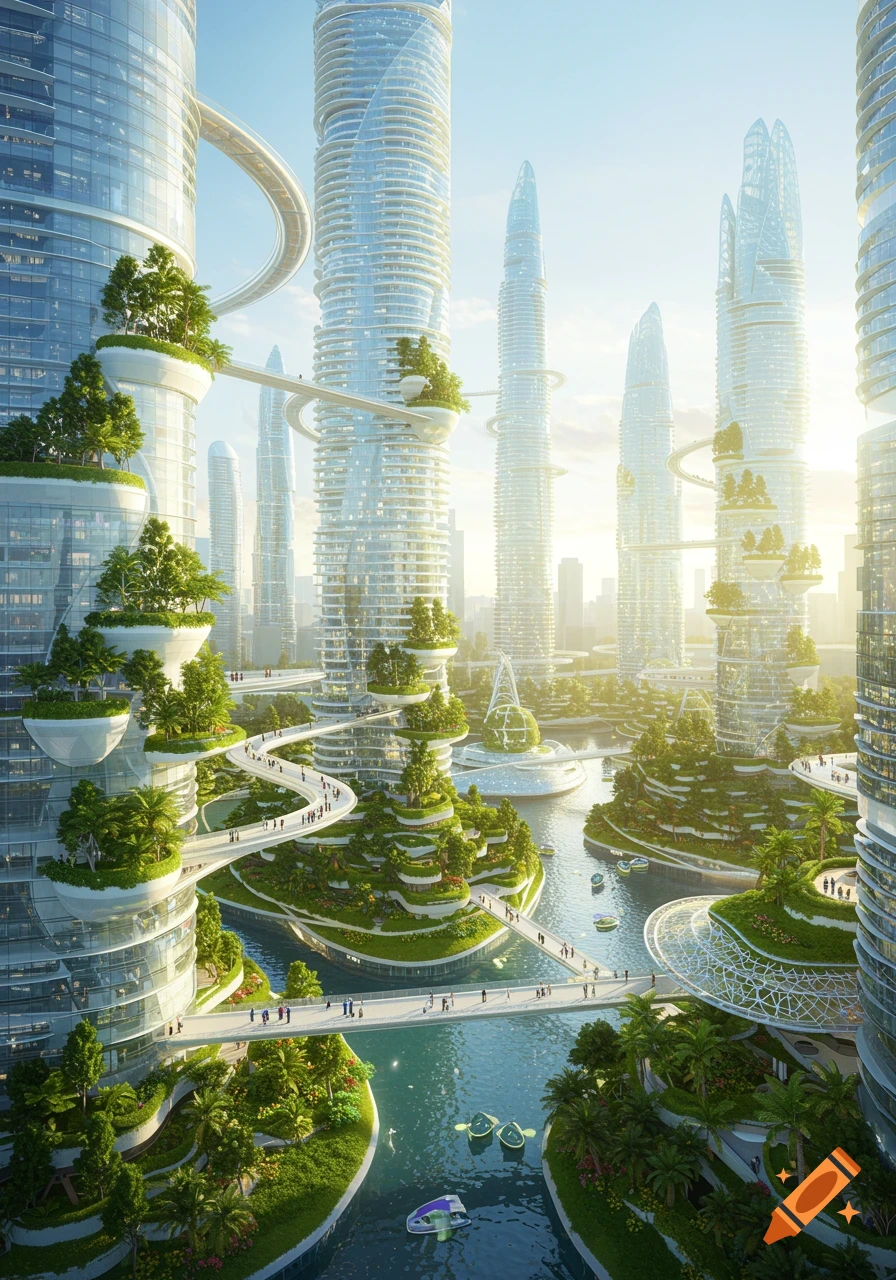
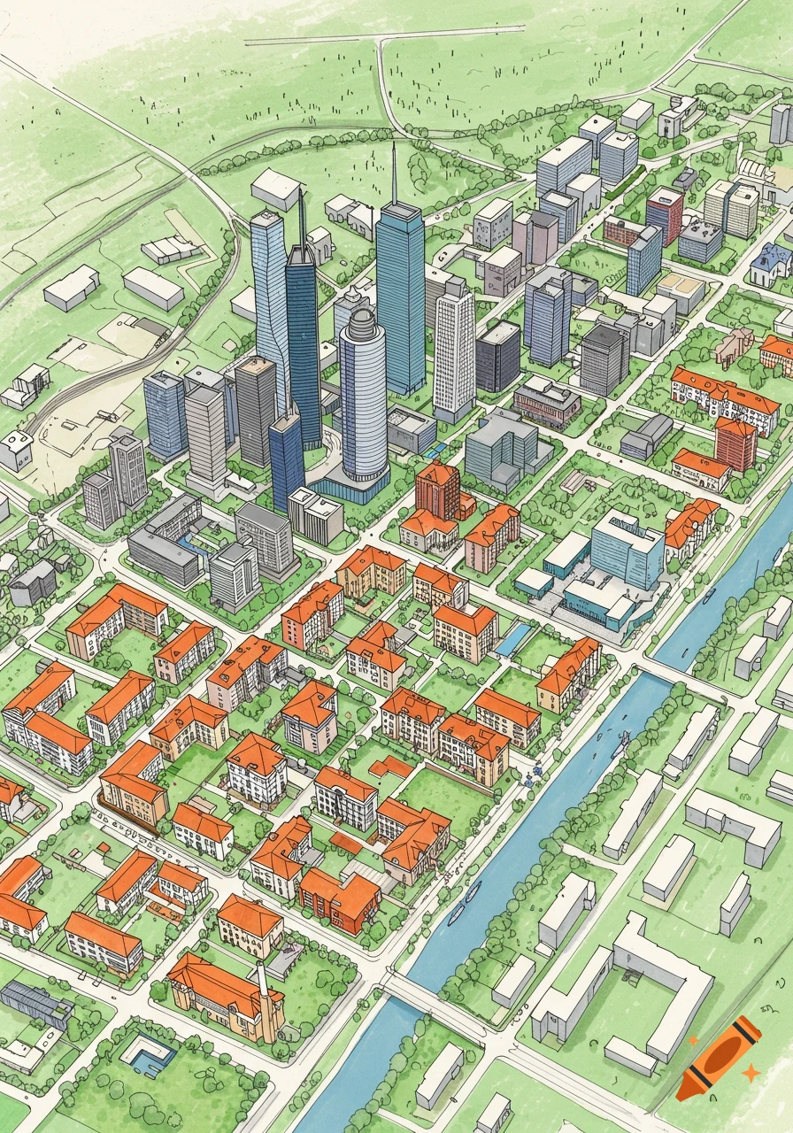
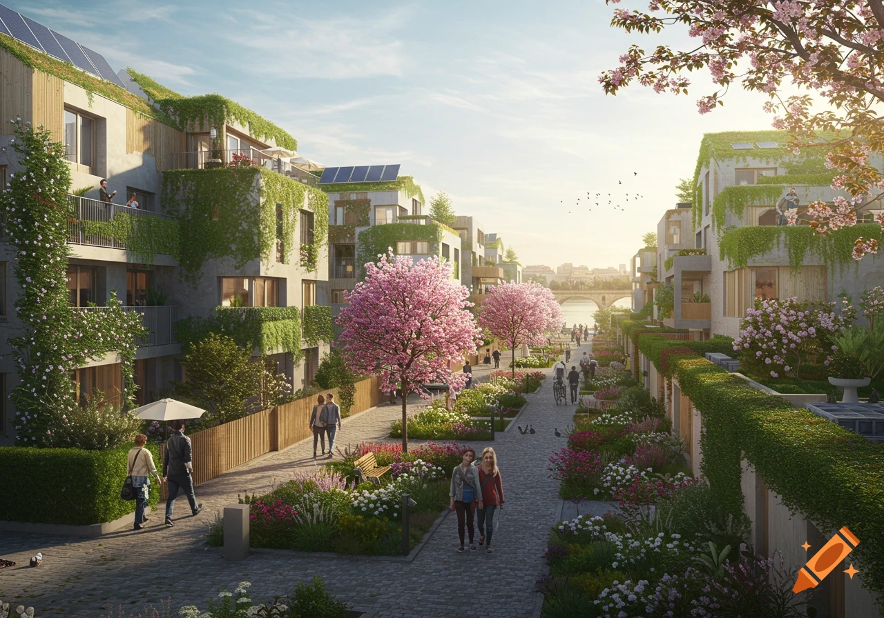
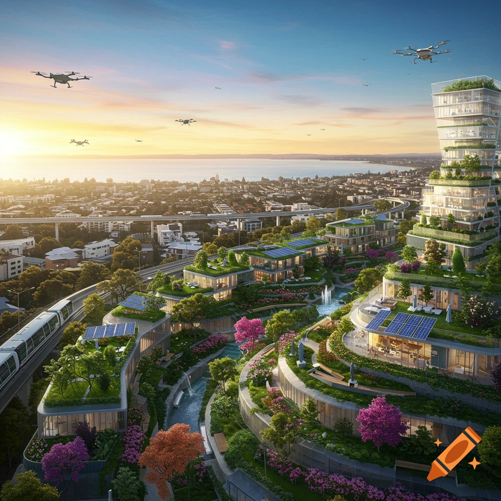
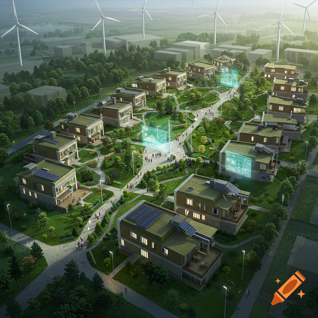
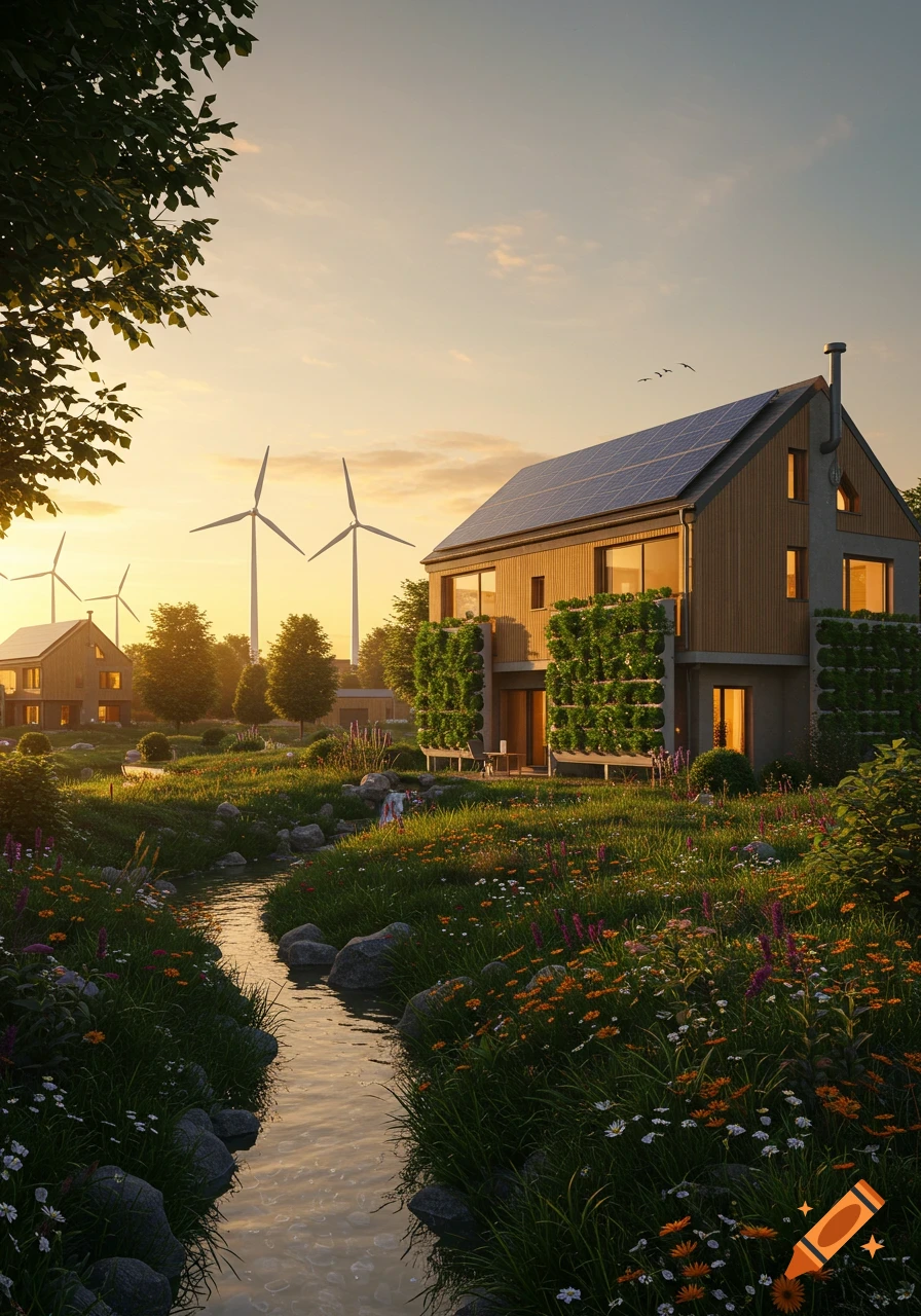
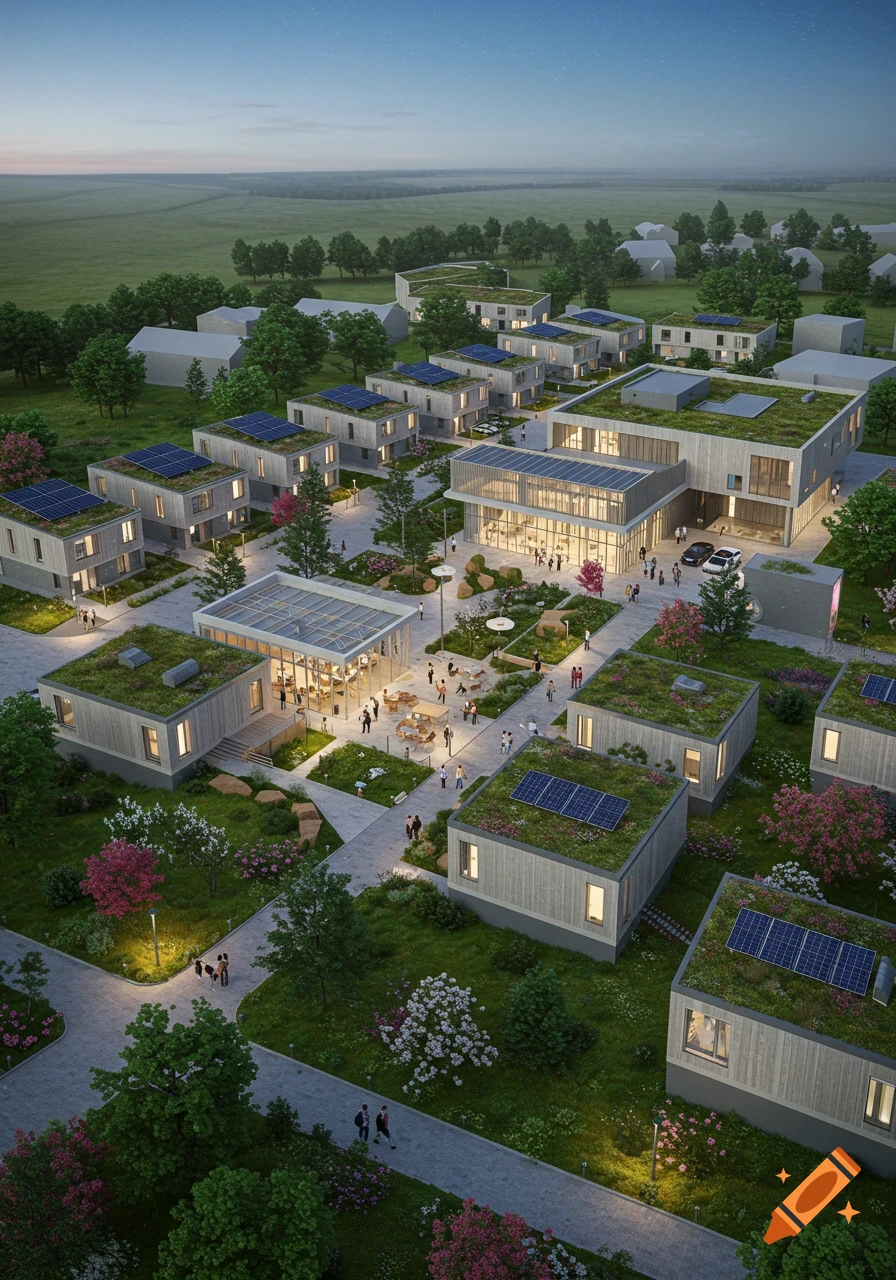
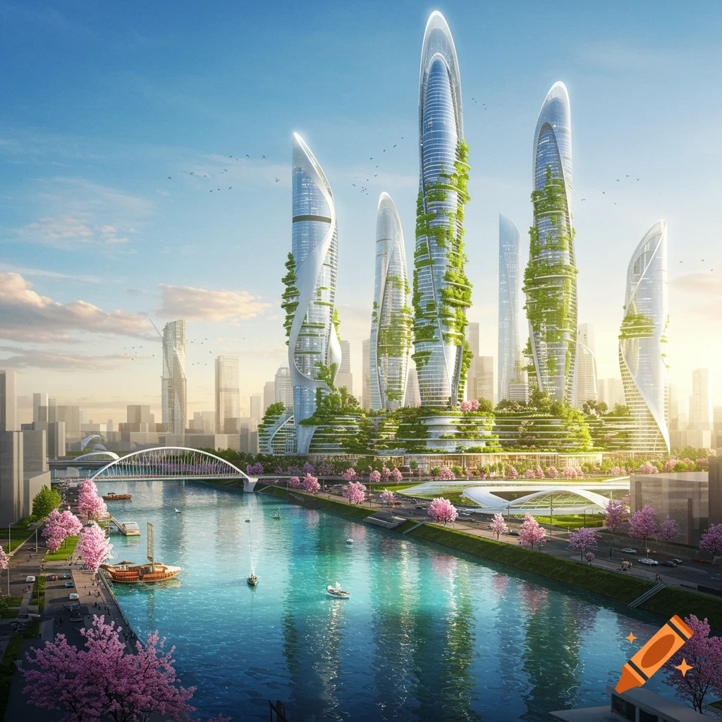
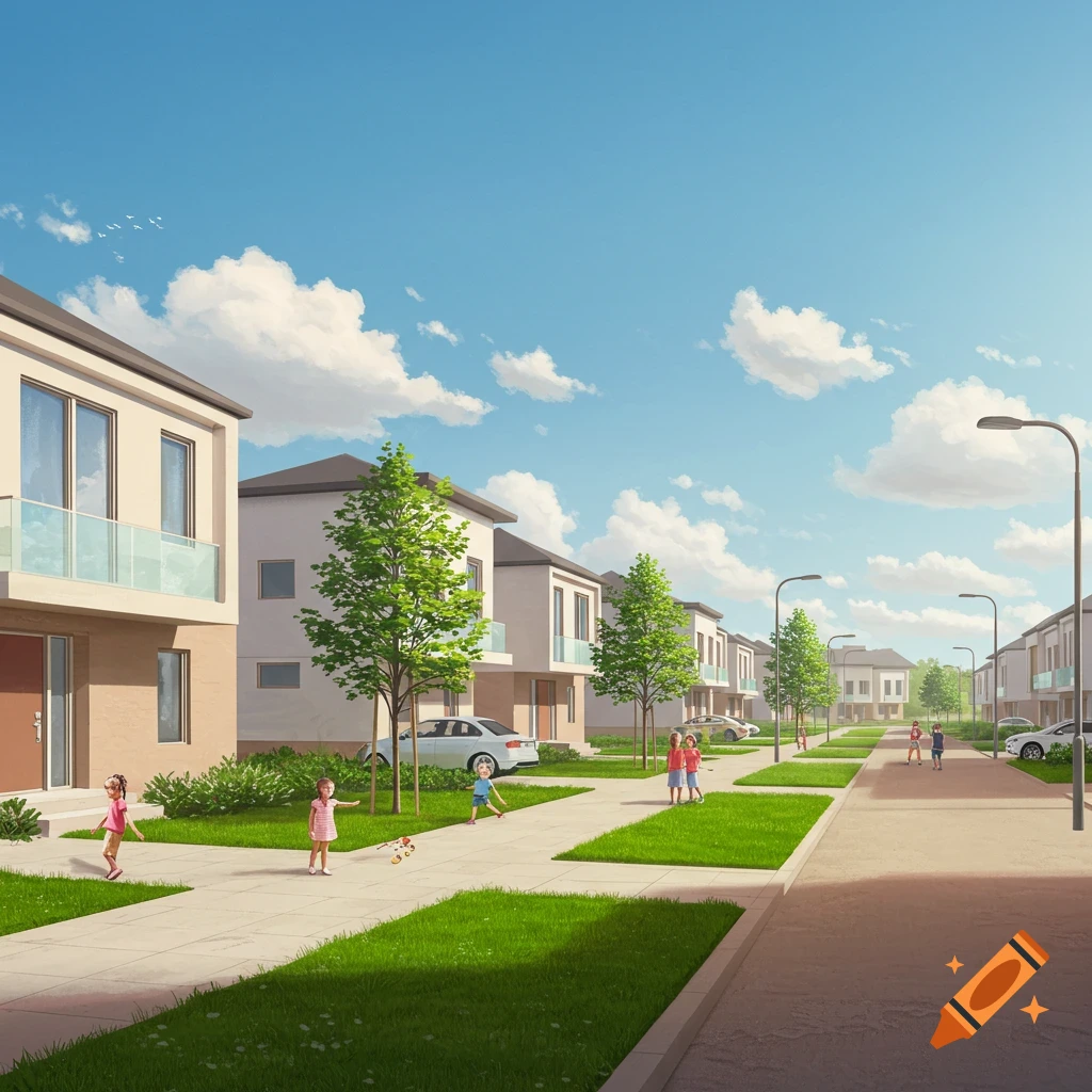
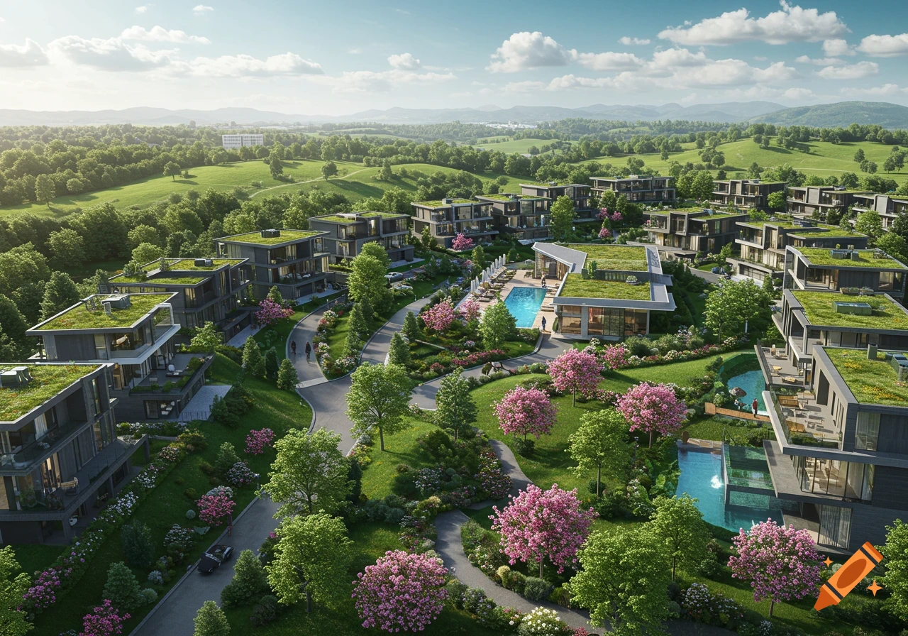
Aerial view of a modern, sustainable neighborhood with contemporary homes, a winding river, wetlands, and green spaces under a clear sky.
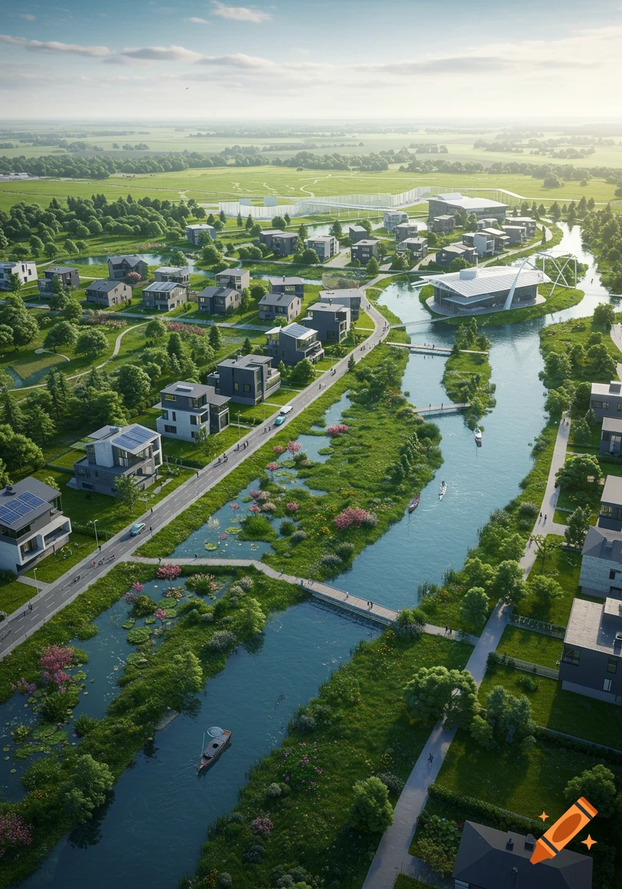
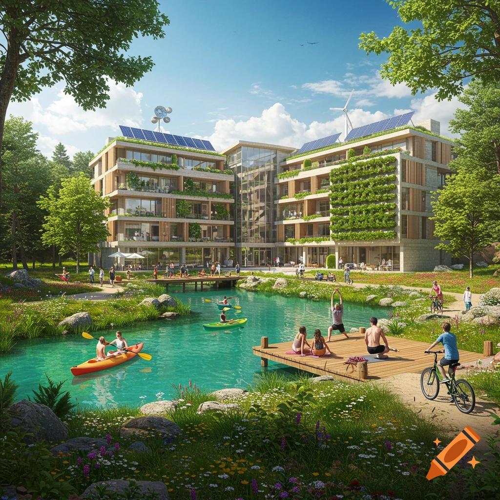
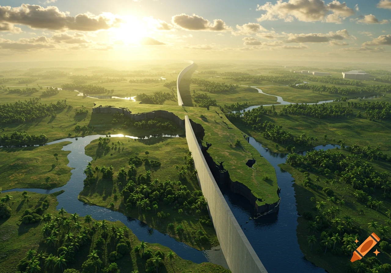
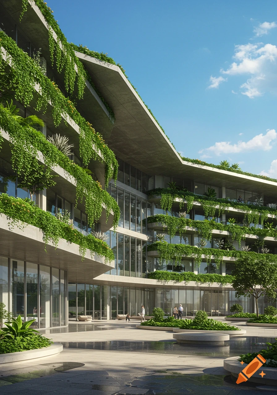
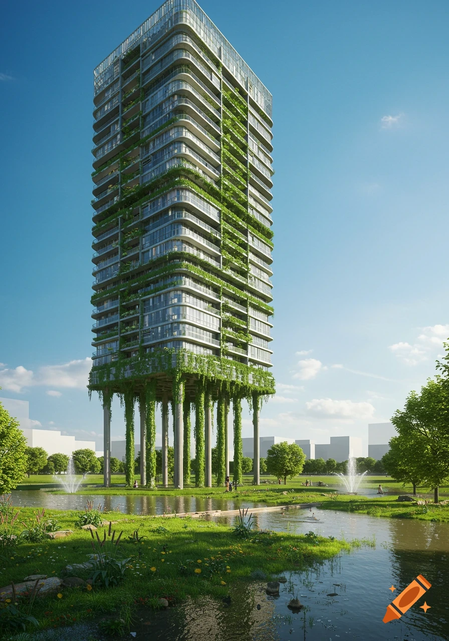
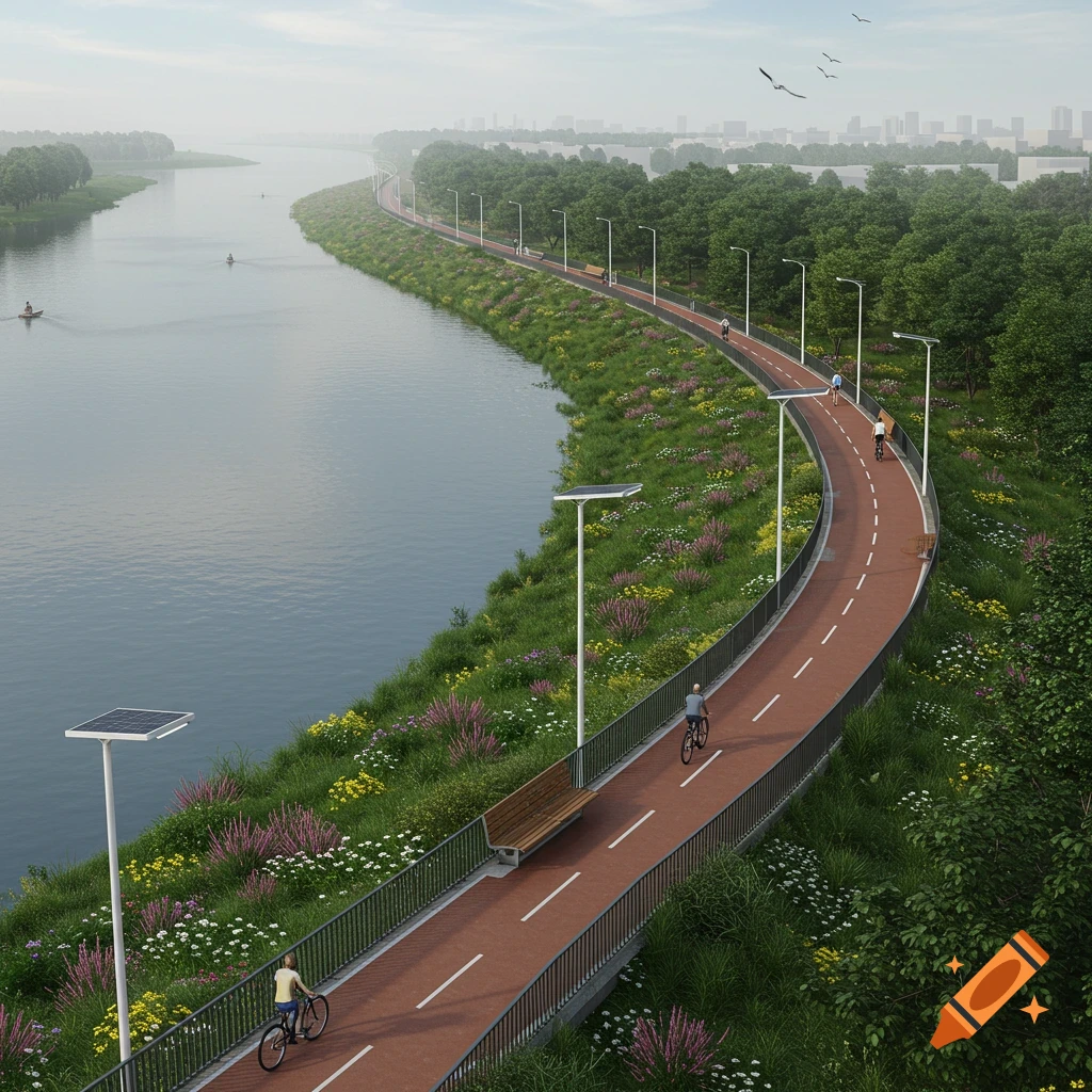
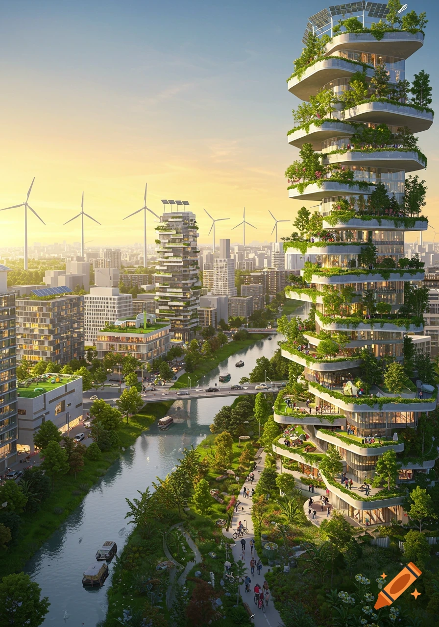
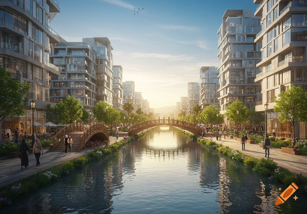
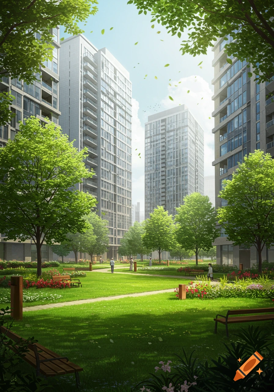
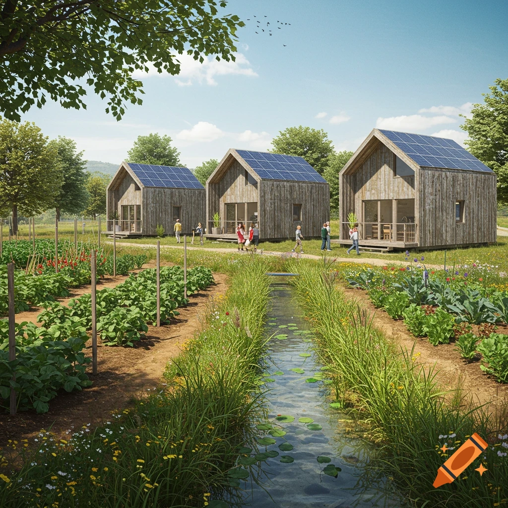
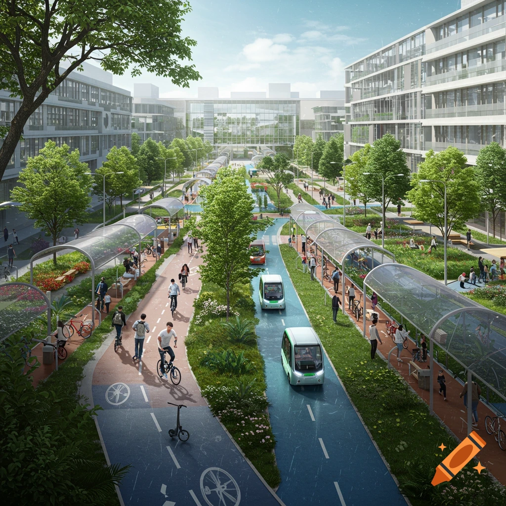
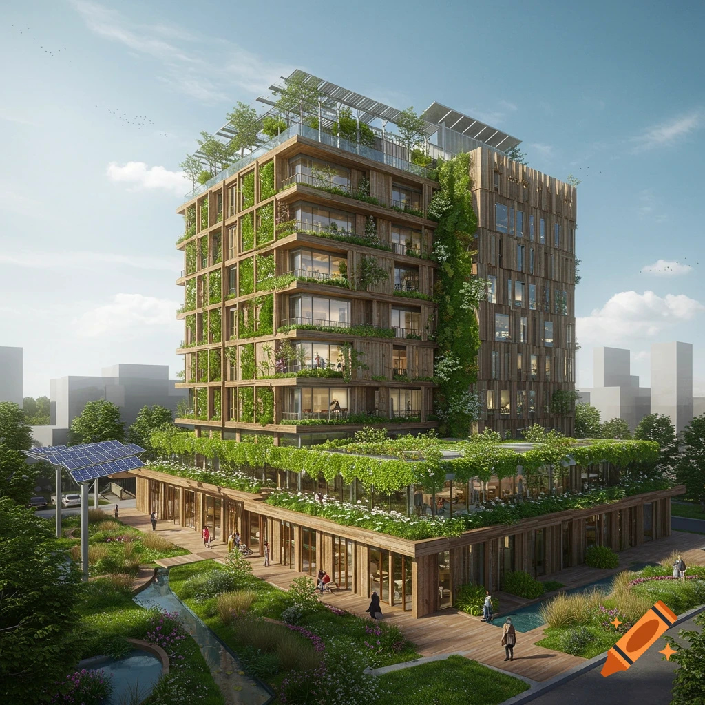
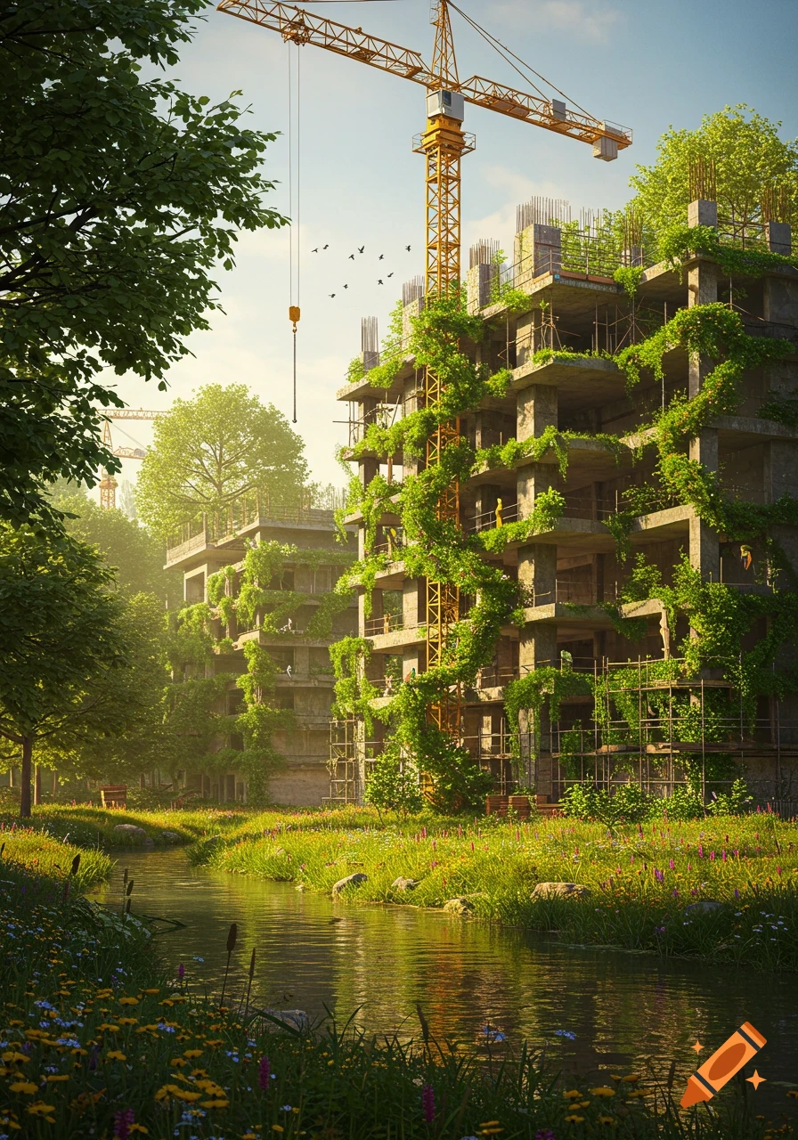
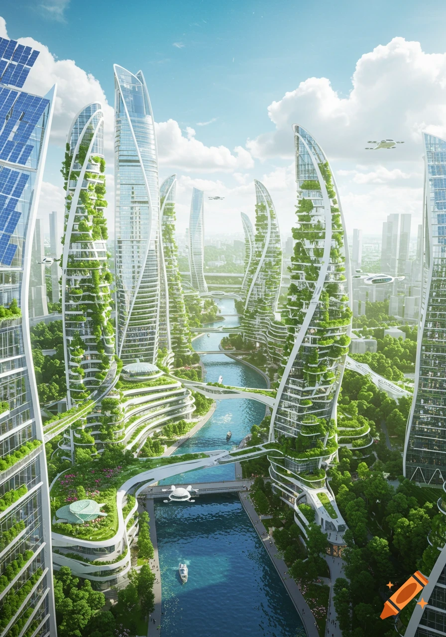
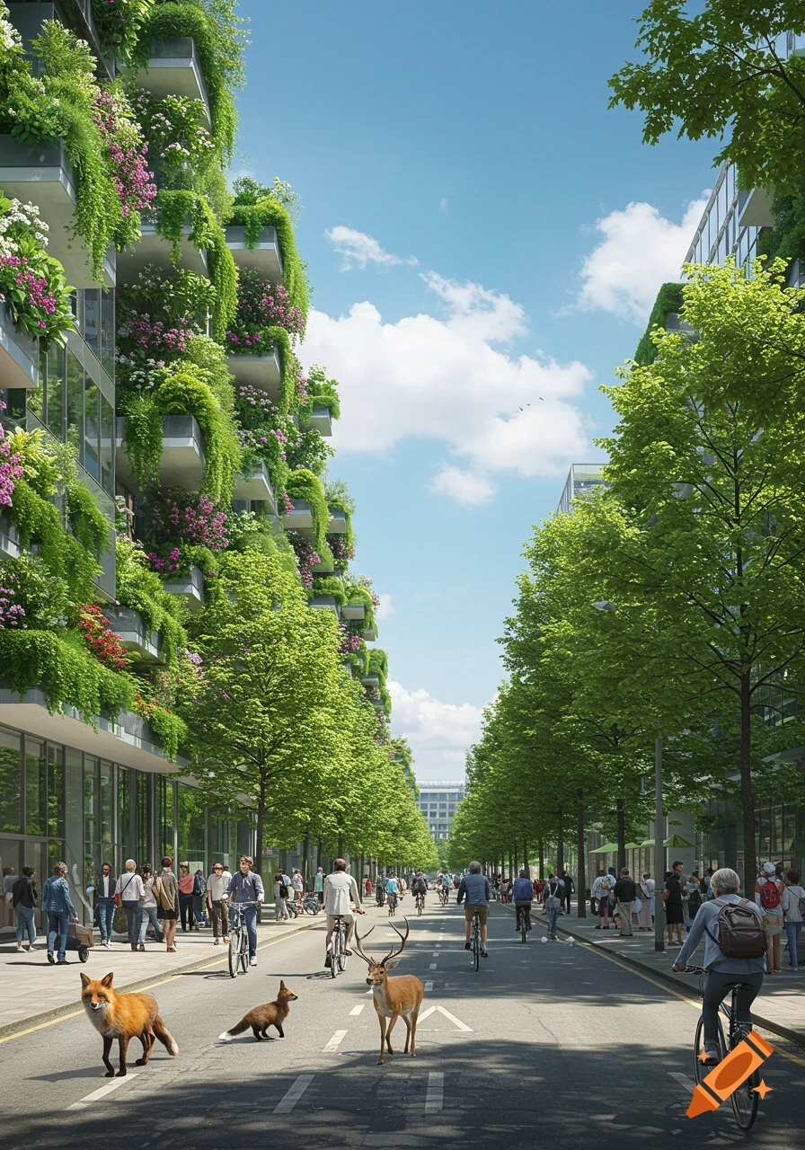
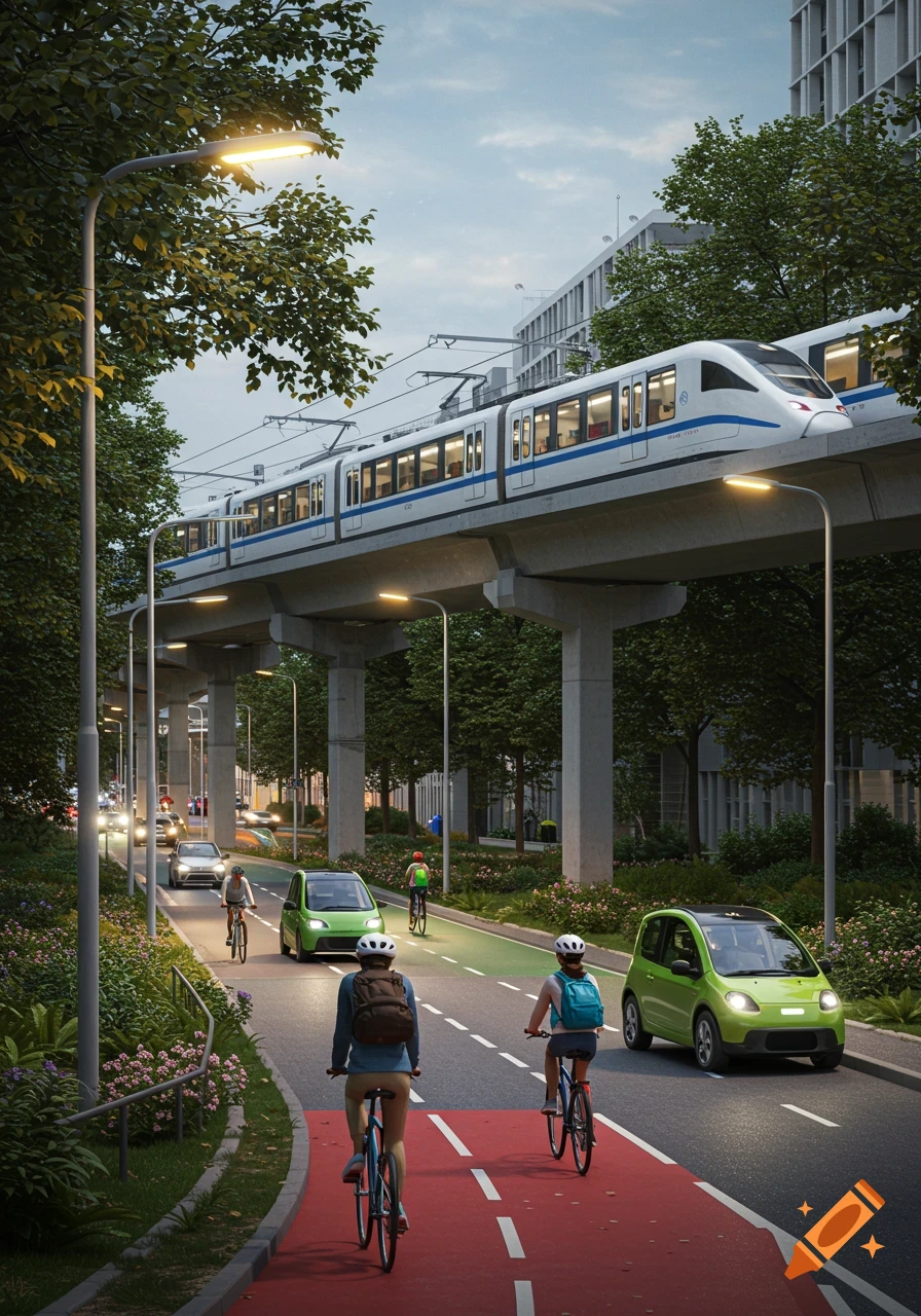
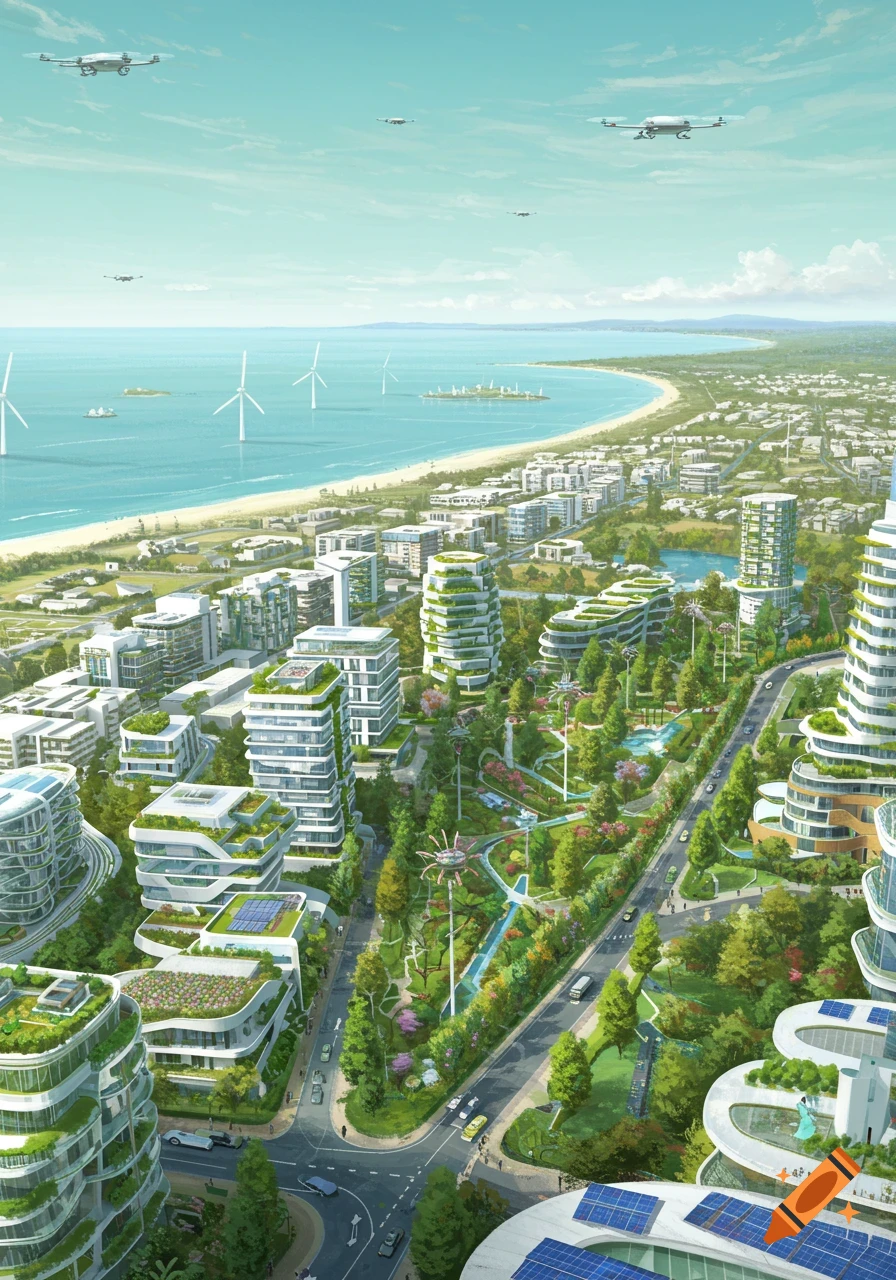
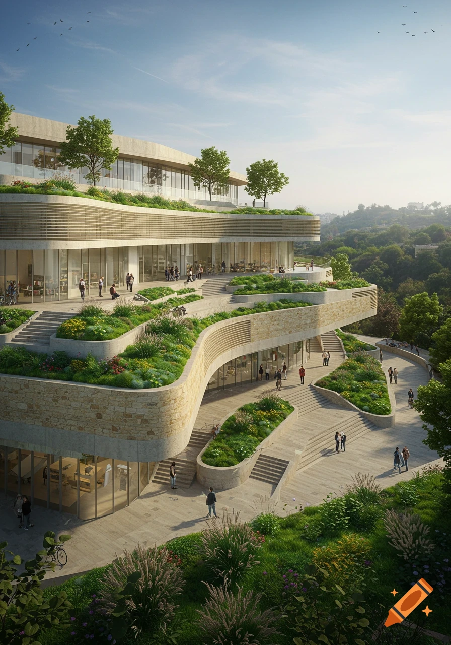
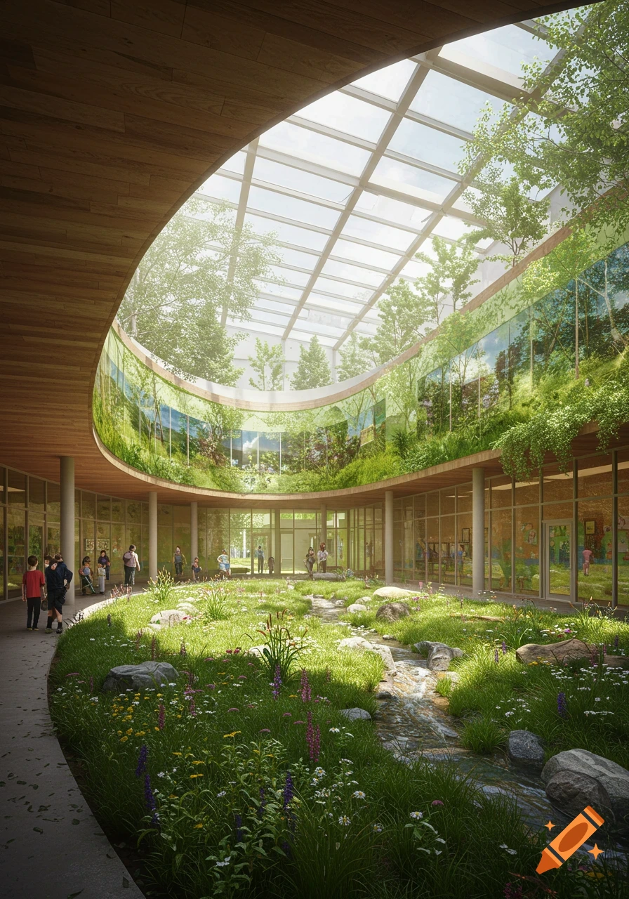
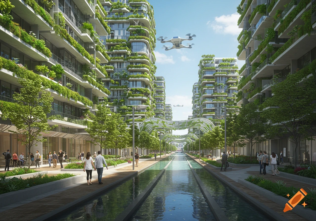
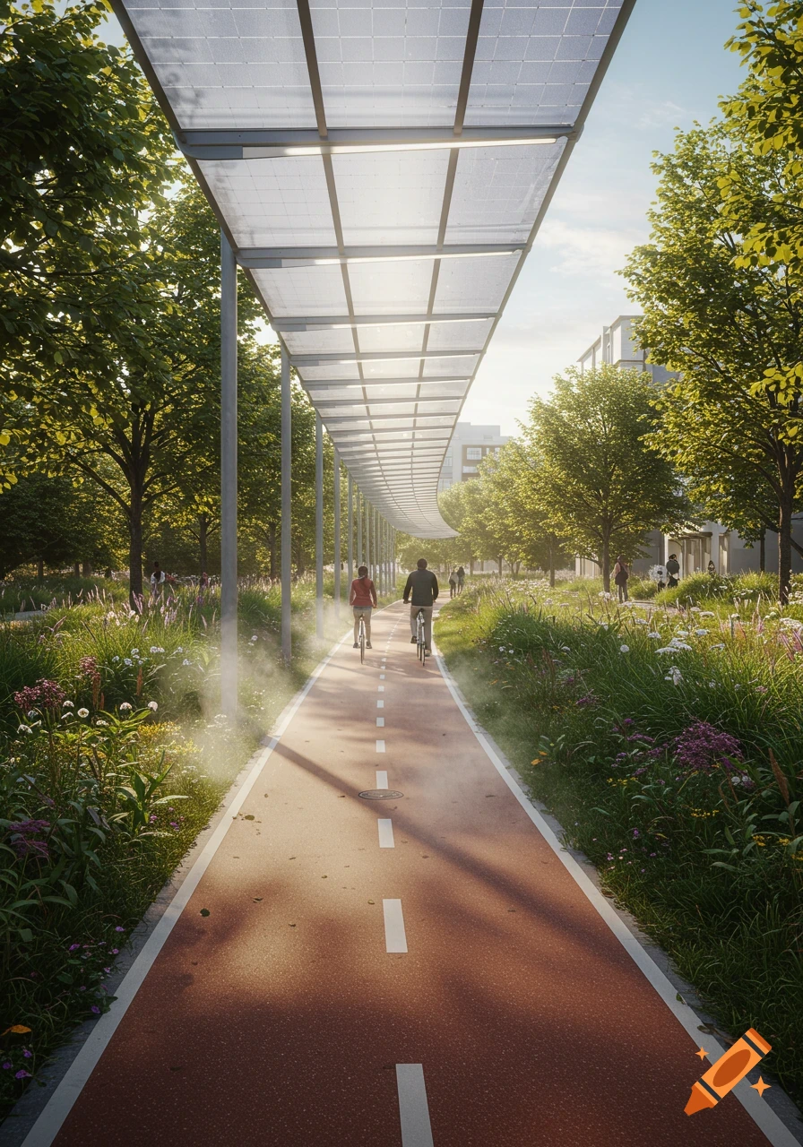
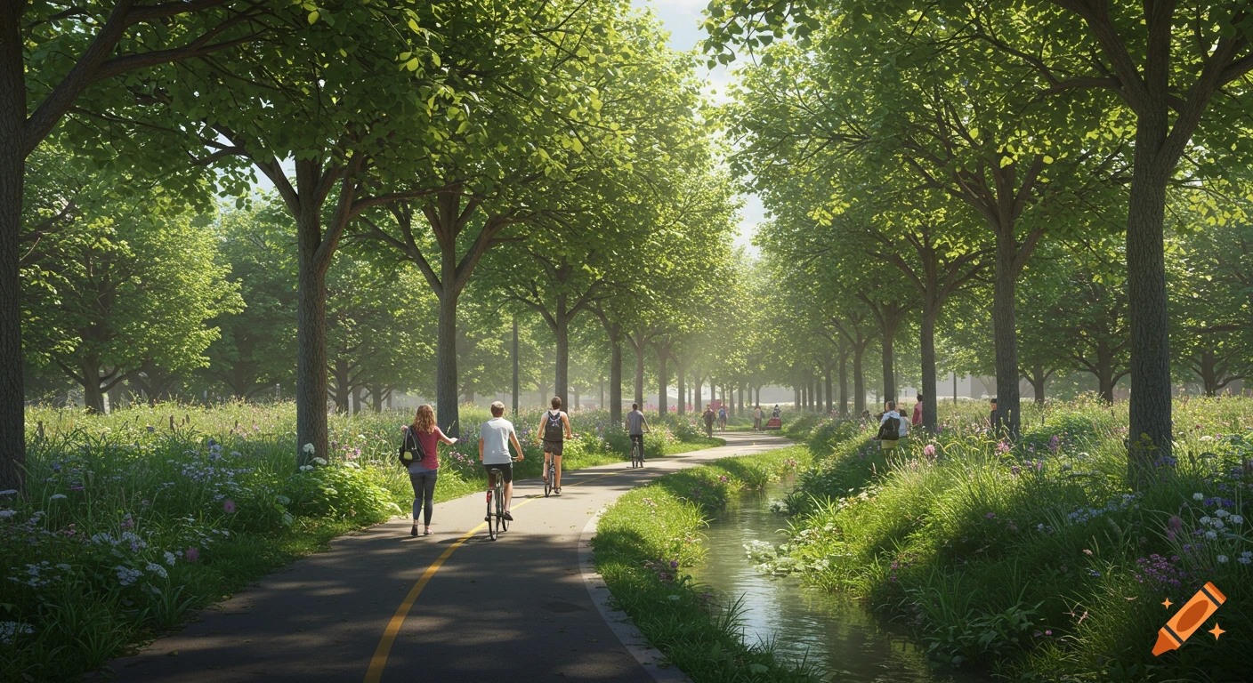
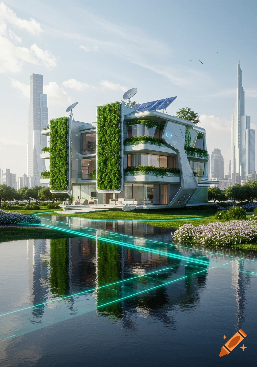
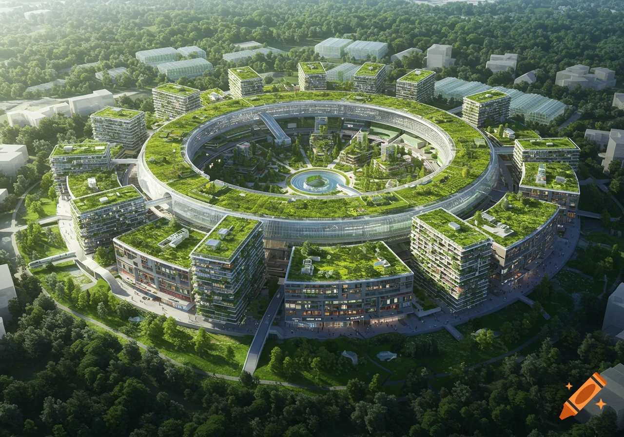
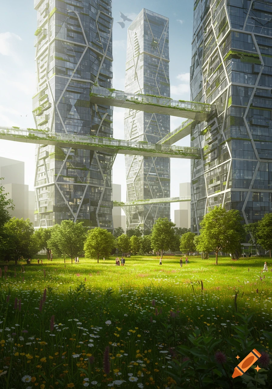
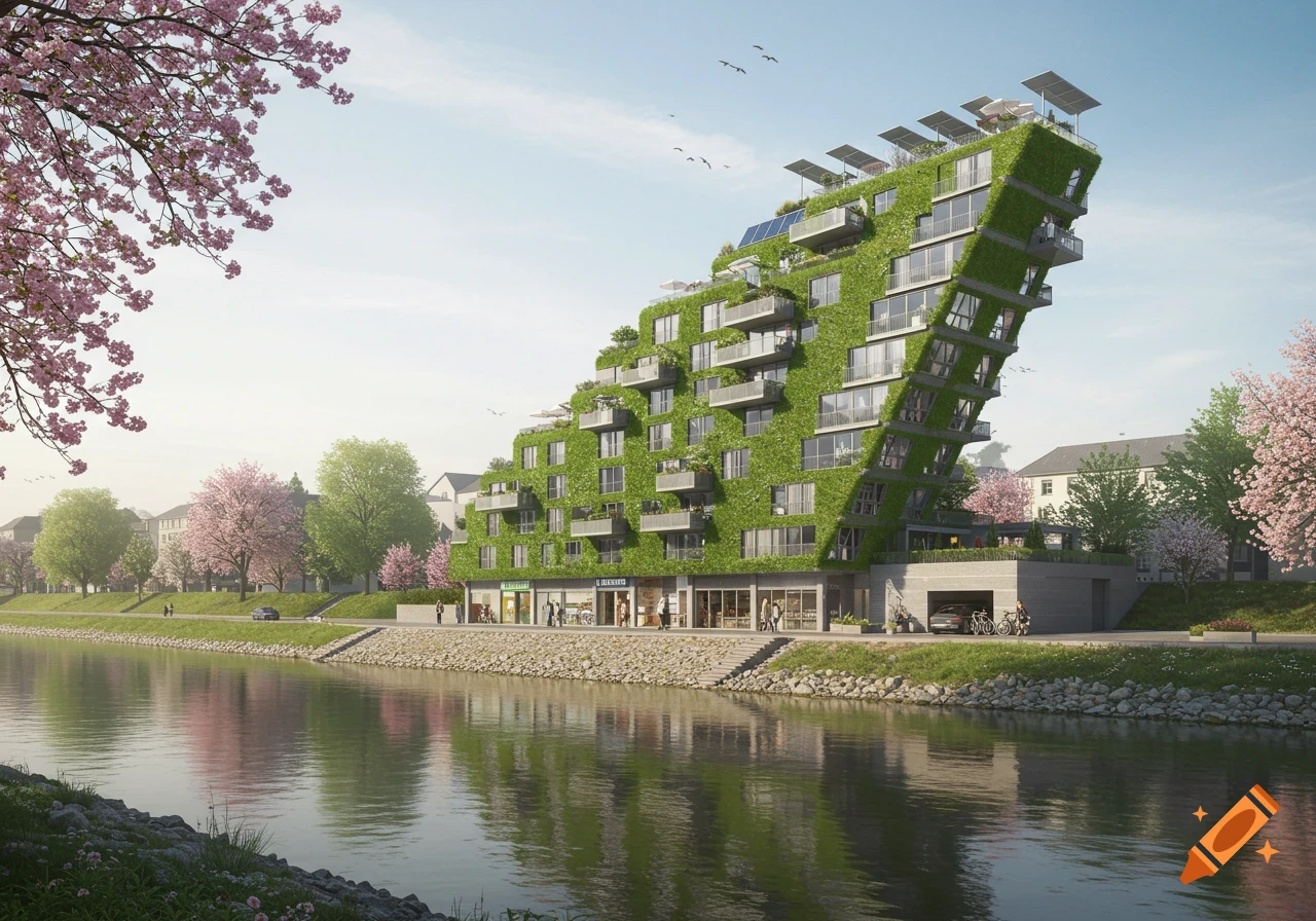
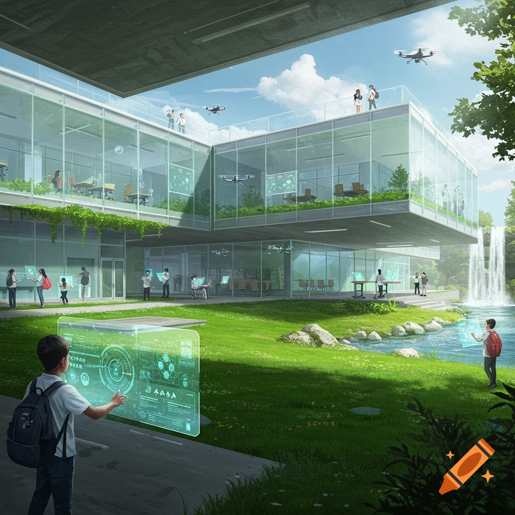
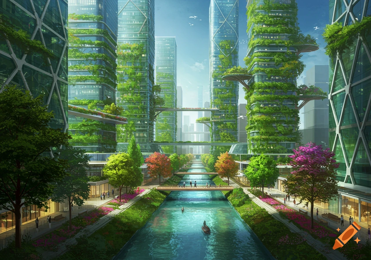
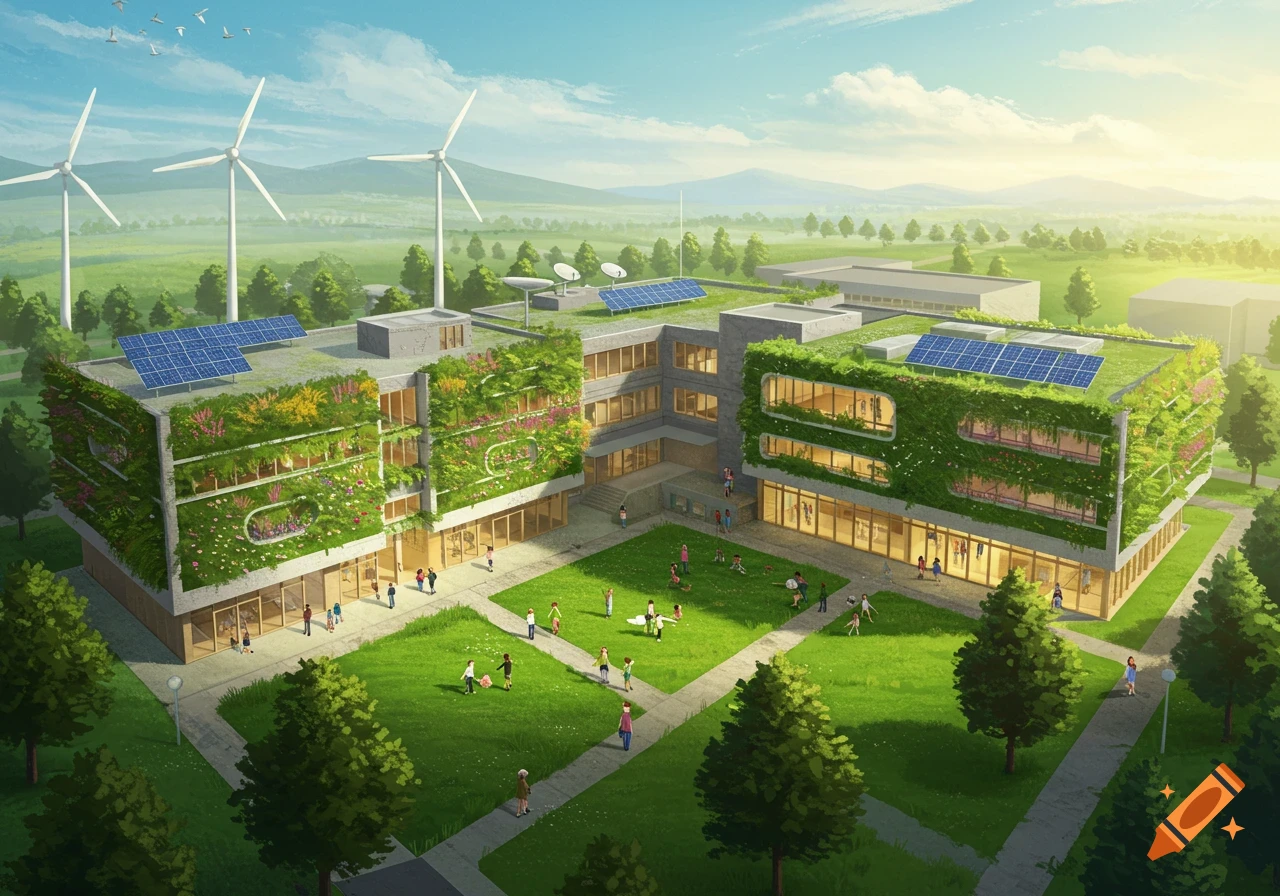
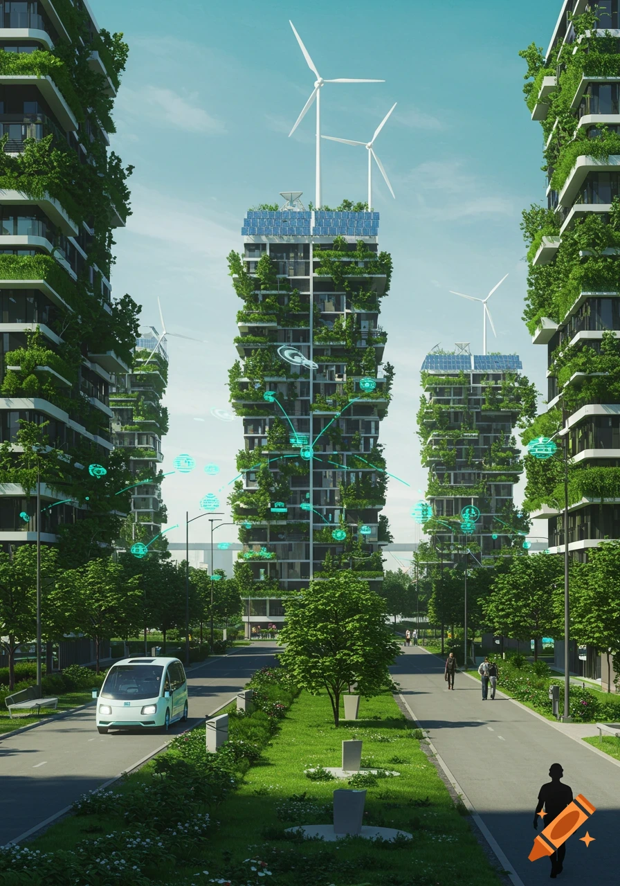
can you generate me some images of a modern government adapted neighbouhood that is adapting to a response in climate change, specifically flood risk. heres what we came ujpp with To combat the projected risk of exposure to flood levels increasing there will be more investment in no build zones and restoration of wetlands to act as natural water retention. Infrastructure will be more focused on materials that are more absorbent, and land use planning and strategies to utilise and recycle the extra water produced in the flooding for productive reasons such as redistributing it to agriculture or manufacturing use by enhancing community infrastructure to trap, divert and retain floodwaters. Existing public transport will be more reliable. They could raise the heights of the new infrastructure being built as a premeasure for if the entirety of Clayton was flooded. Public spaces such as parks and community areas would still exist, but they may be redesigned to have better drainage systems or elevated walkways to prevent waterlogging. Roads and streets would likely remain in place though some may be upgraded with protective barriers or raised surfaces to reduce flood risk. Community centres would remain the same, but perhaps with more protective barriers to increase accessibility. There is going to be a decrease in population due to the increased risk of climate hazards which means there can be cheaper and bigger houses in the neighbourhood. They will also be protected from See more