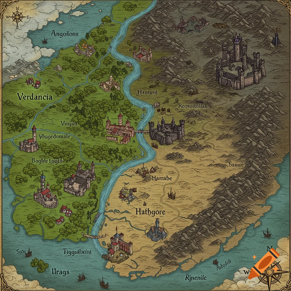
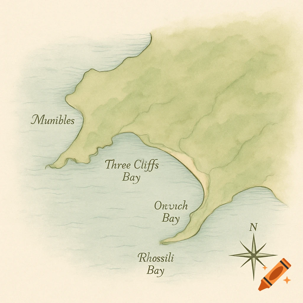
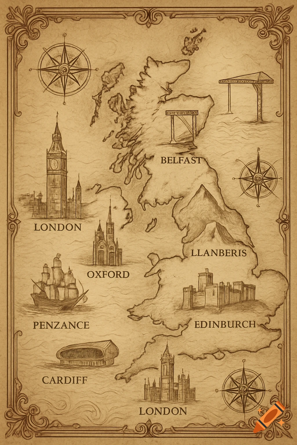
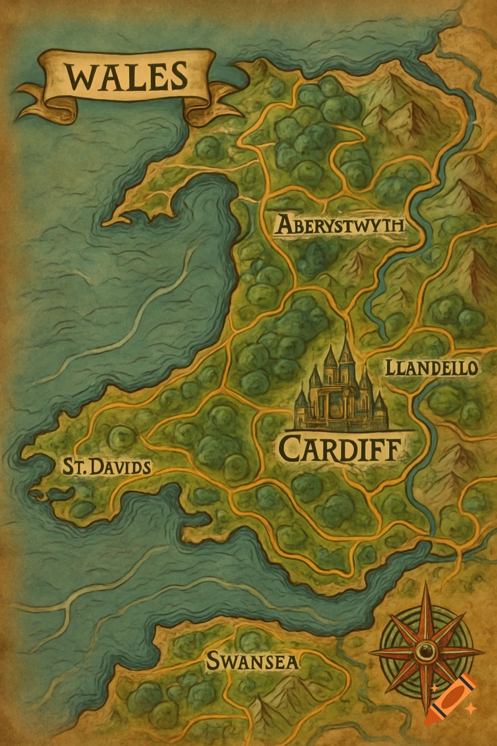
Detailed strategic map of Cardiff and Swansea in South Wales, featuring major districts, transport links, universities, and demographic zones with a legend.
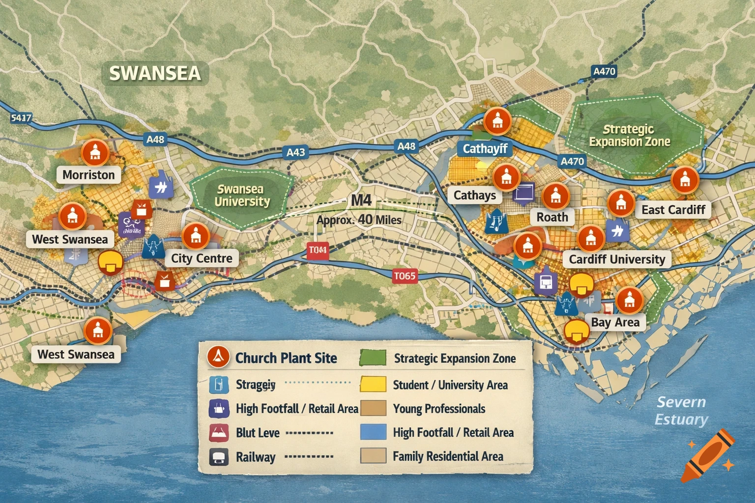
ADVANCED MAP GENERATION PROMPT Cardiff & Swansea – Church Planting, Regional Ministry & Strategic Expansion Create a strategic, ministry-focused map of Cardiff and Swansea within South Wales, designed to support church planting, event planning, leadership deployment, and long-term regional ministry strategy. This map should not only show geography, but help discern where to start, where to grow, and how to move. Core Map Elements Include clearly labelled: City boundaries for Cardiff and Swansea Major districts, neighbourhoods, and population centres Primary transport links between both cities (motorways, major roads, rail lines, key transit corridors) Approximate distance and travel flow between the two cities Population & Demographic Insight (Visual Guidance) Visually indicate (using subtle shading or markers): High population density areas Student-heavy zones (universities, colleges, halls of residence) Young professional districts Family-dominant residential areas Keep this high-level and intuitive, not statistical. Ministry-Relevant Highlights Clearly mark: City centres and high-footfall areas Universities, colleges, and major educational hubs Large venues, conference centres, community halls, and civic spaces Transport-accessible zones near train stations, bus hubs, and major junctions Residential clusters suitable for local church communities and home groups Strategic Expansion Layer Structure the map to show: Potential church planting start points (high access, strong See more