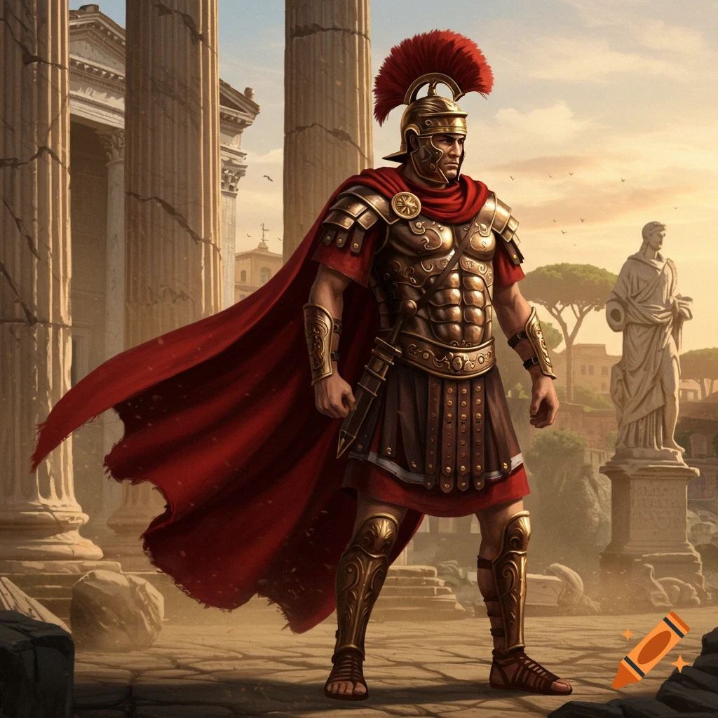
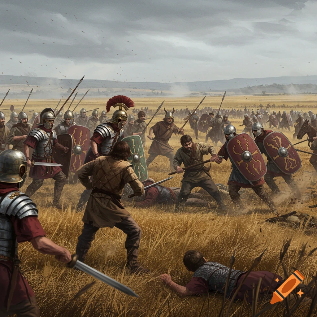
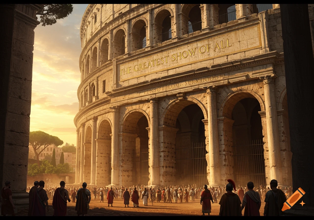
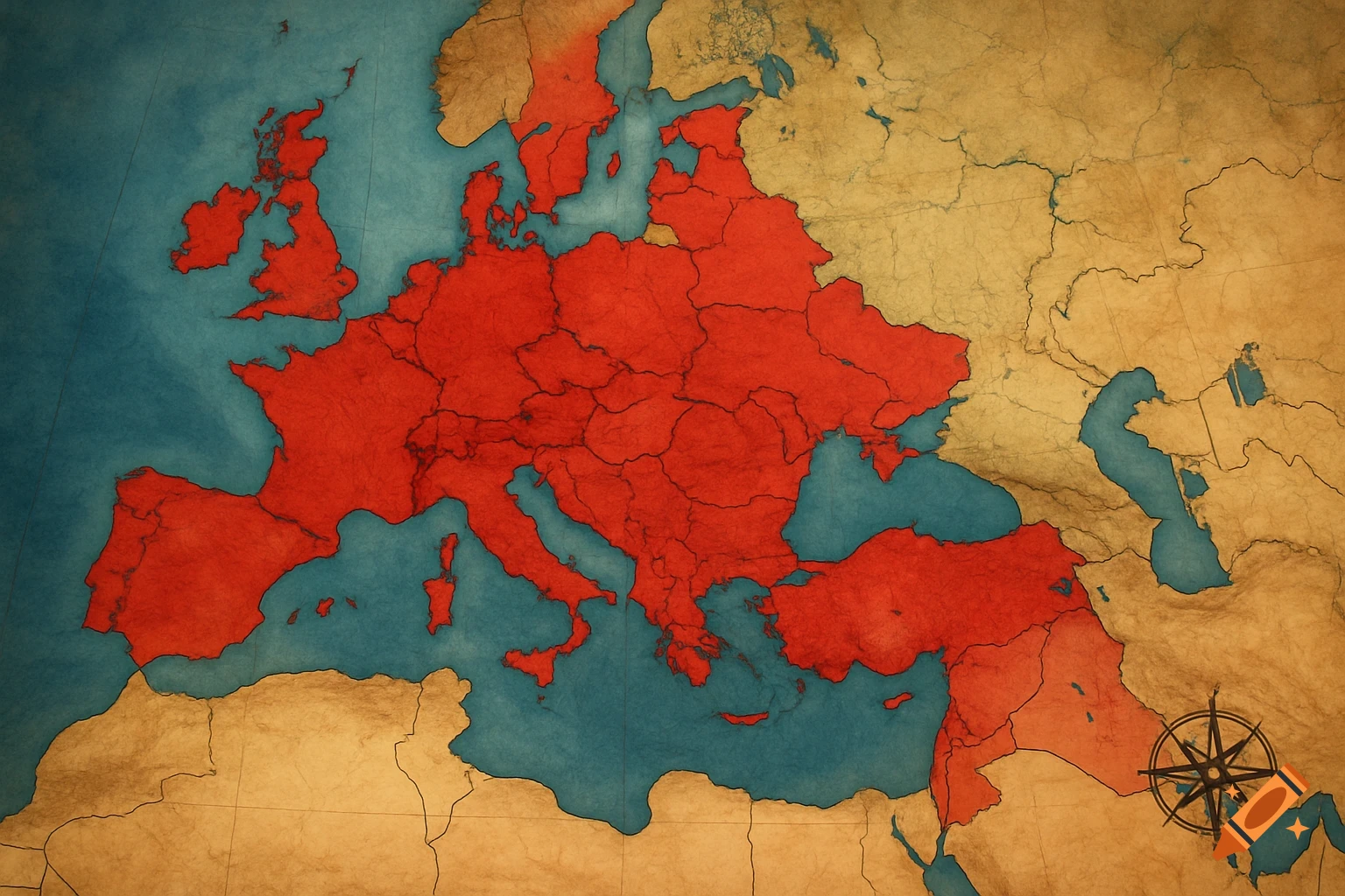
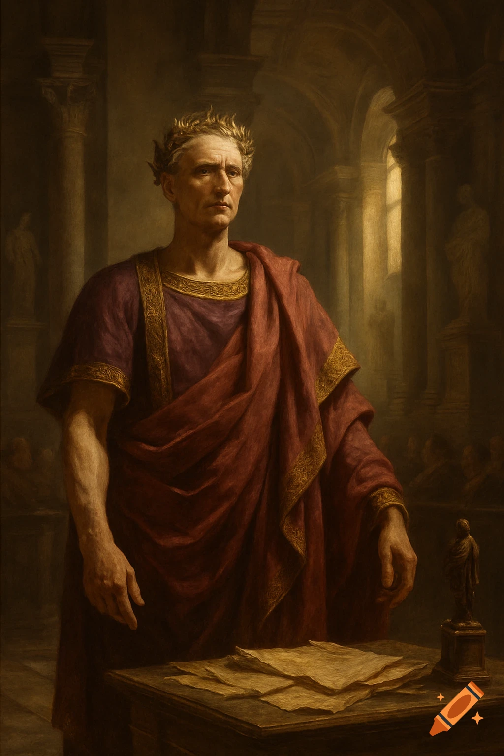
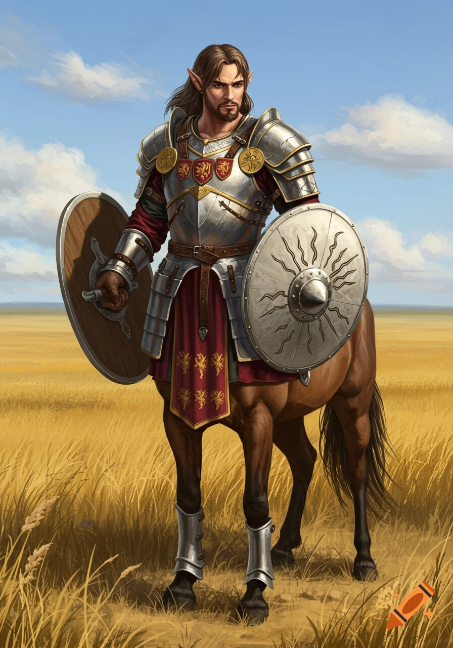
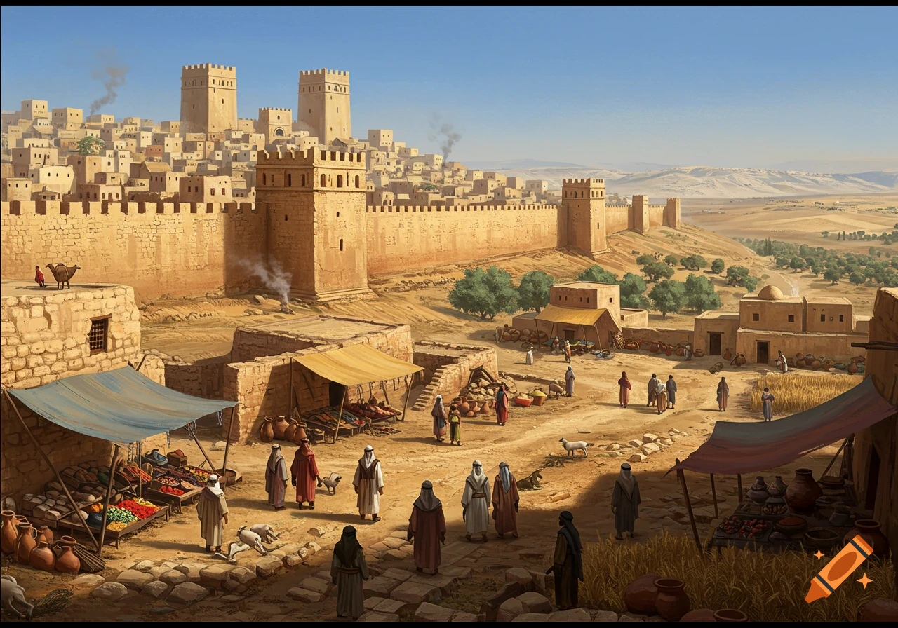
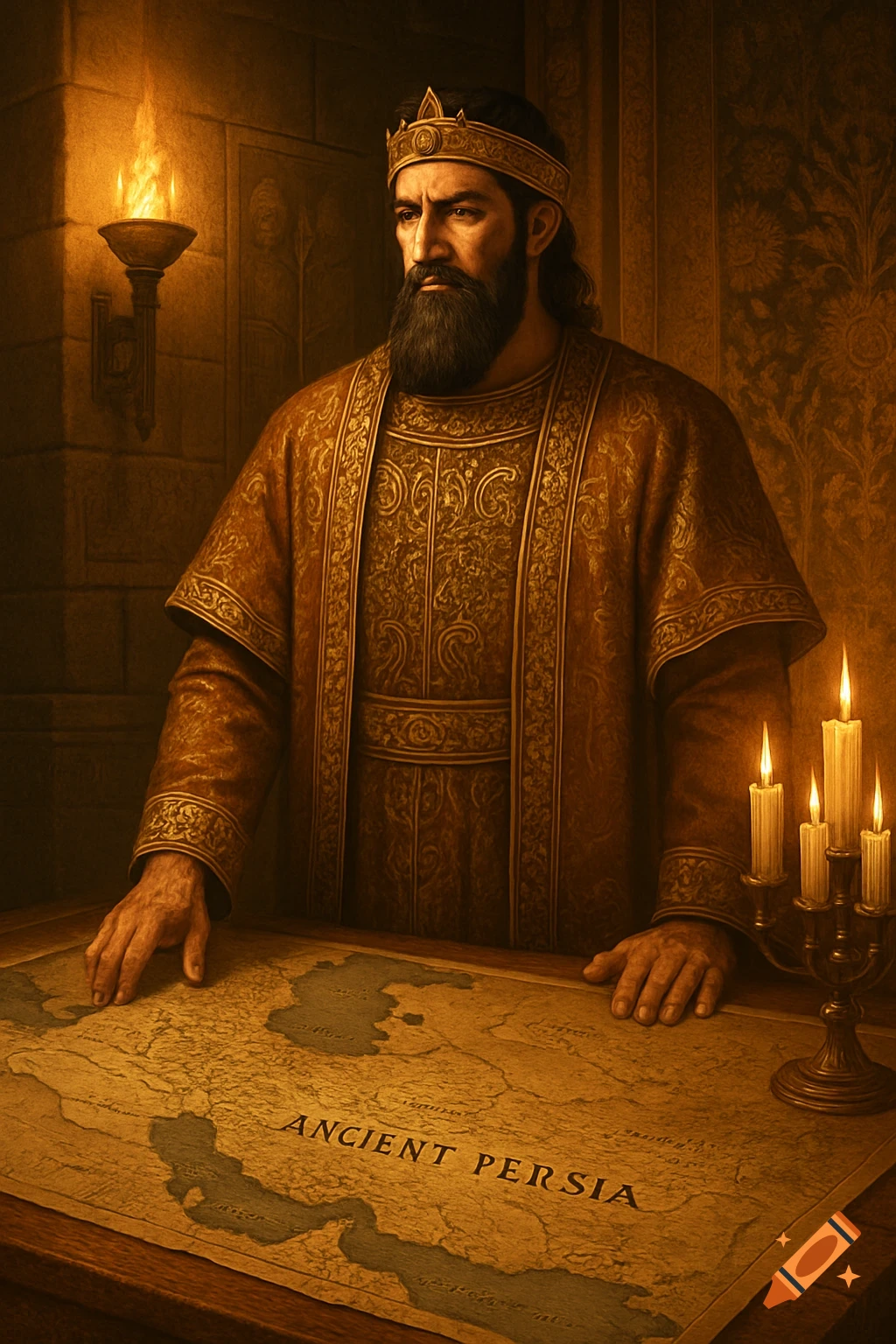
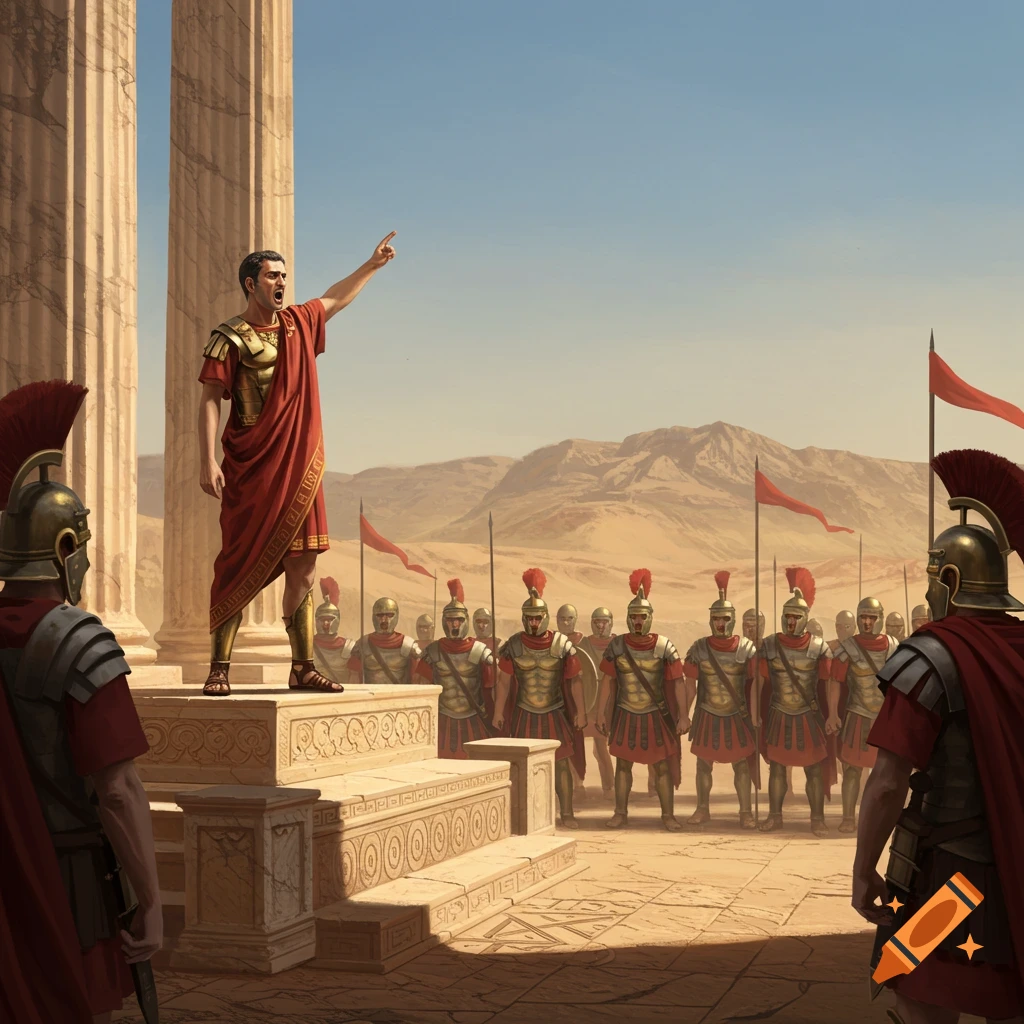
A historical map displaying the Roman Empire's vast purple territories in 137 AD across Europe, North Africa, and the Middle East, over a satellite-style geographical base.
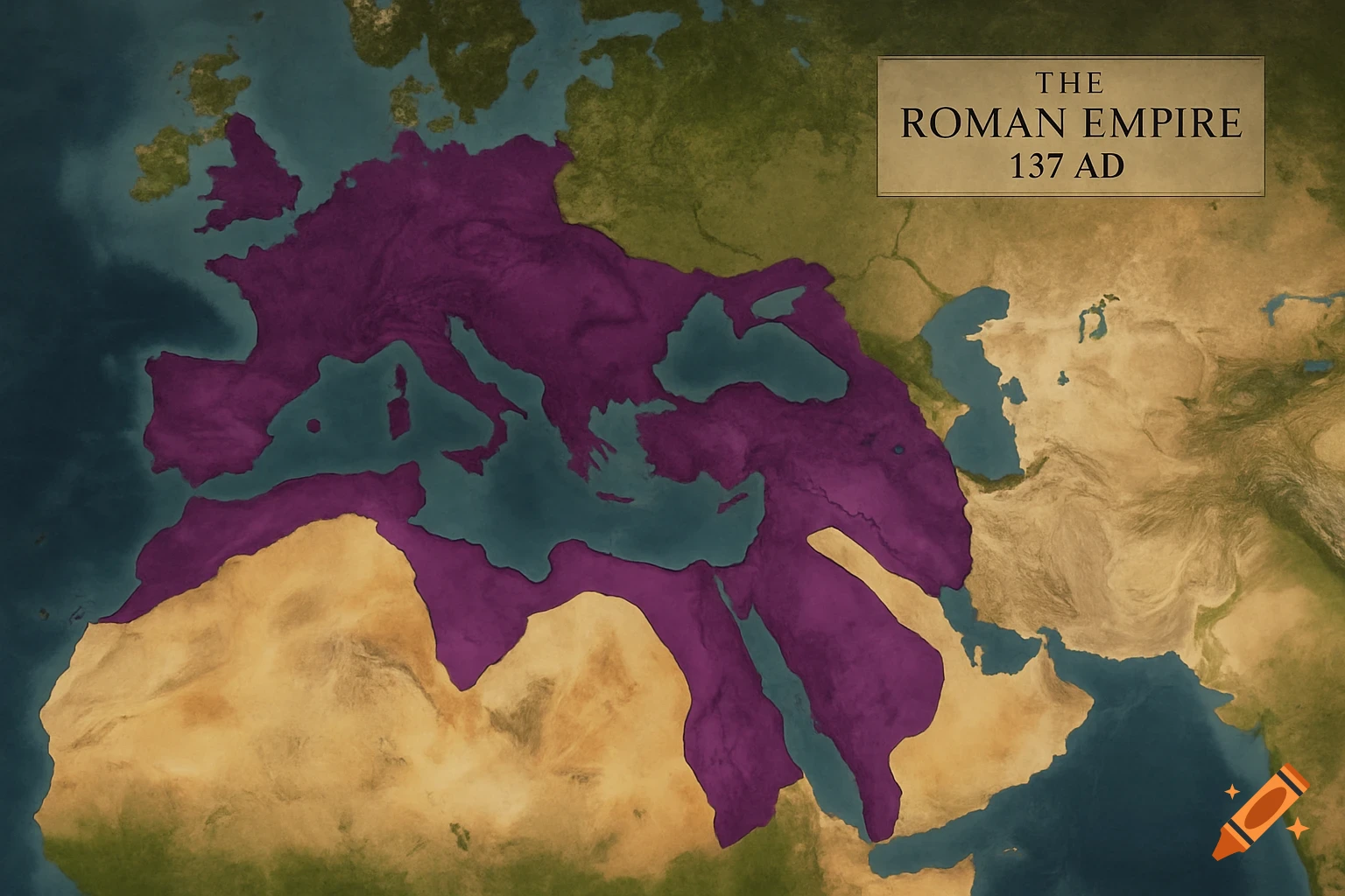
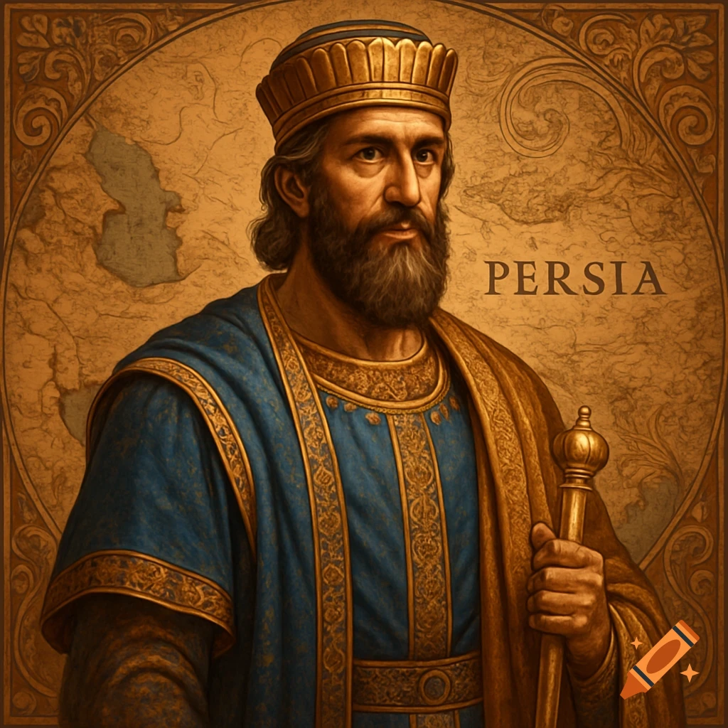
Prompt for AI Image Generation: Map of the Horatian Roman Empire (137 AD) Primary Subject: A detailed, high-resolution map of the Roman Empire and the known world in 137 AD, in the style of a strategic campaign map from a high-quality historical documentary. The map should be clear, elegant, and informative. Core Geographic Area: Focus on Europe, North Africa, the Middle East, and extending to include the entire coastline of Africa, the Arabian Peninsula, Persia, the Indus Valley, and the western coast of Han China. The eastern coast of the "New World" (the Americas) should be visible across the Atlantic. Key Visual Elements & Style: Map Style: Base: A realistic, top-down satellite-style render of the geography (like a map from National Geographic or a Paradox Interactive game). Use rich, natural colors for terrain: deep green for forests, ochre for deserts, etc. Aesthetic: Clean, modern, and professional. Avoid overly ornate or fantastical "old map" styles with sea monsters. This is a map for a strategic genius. Borders and Territories (Crucial Detail): The Roman Empire (Direct Rule): Color: A strong, solid Imperial Purple or a deep Roman Red. Borders: Clearly demarcate the "hard borders" of direct Roman rule. Specifics: Britain: The border is Hadrian's Wall. Europe: The border is the Rhine and Danube rivers. Crucially, Dacia (north of the Danube) is NOT part of the Empire. East: The border is in Syria. Crucially, Mesopotamia and Armenia are NOT part of the Empire. Africa: See more