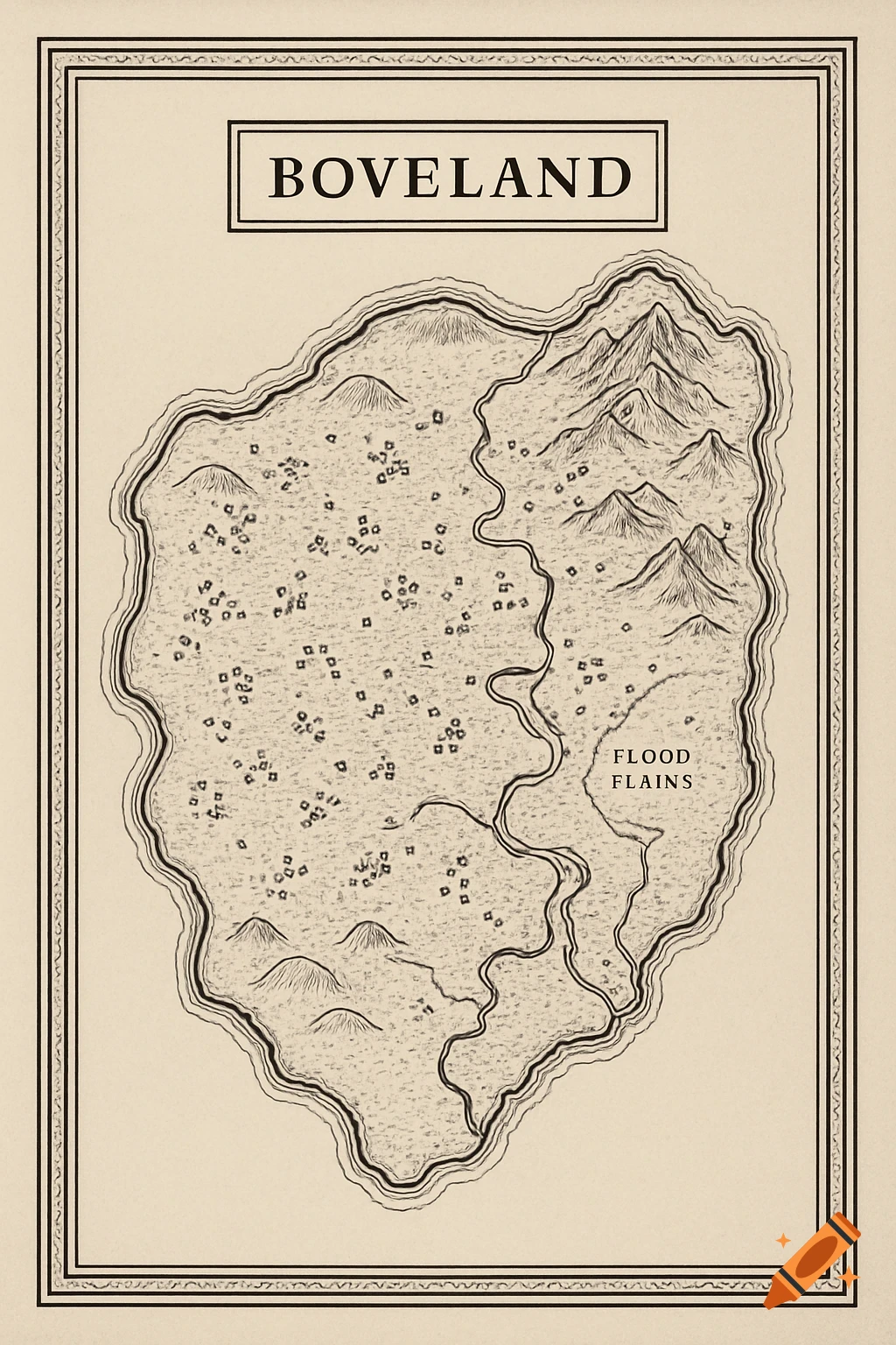
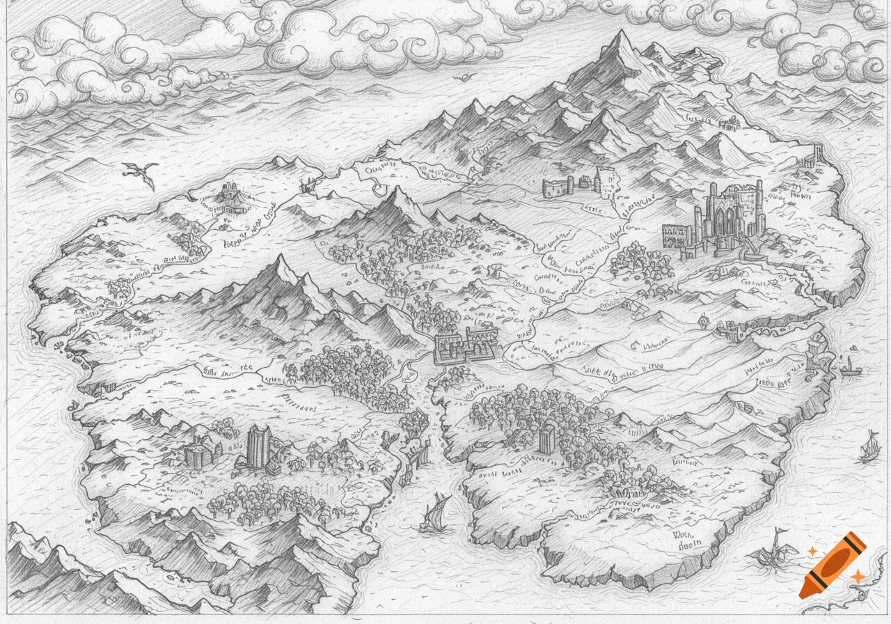
Overhead, hand-drawn pencil map of Glacmery, a sustainable island city in the Aegean Sea, showing residential areas, city center, farms, harbors, marine reserves, and renewable energy facilities.
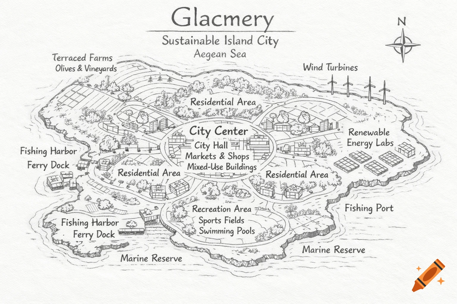
Create a clean, overhead pencil-style map of a sustainable island city called Glacmery, located in the Aegean Sea near Greece. The map should show a natural island shape with an irregular coastline (not straight lines). Include the following labeled areas: – City Center in the middle with multi-purpose buildings (shops on the ground floor, apartments above), markets, banks, and city hall – Residential areas around the city center with eco-friendly homes, apartment buildings, small neighborhood parks, and community gardens – Renewable energy research labs near the coast but separated from housing – Sustainable fishing ports and ferry docks along the coastline – Terrace farming on hills inland, growing olives, grapes, citrus fruits, and herbs – Wind turbines placed along windy coastal areas – Solar panels on rooftops of buildings – Parks and recreation areas with sports fields (soccer, basketball, volleyball), swimming pools, and community centers – Marine reserve areas along parts of the coast – Walking paths and bike lanes connecting all areas in a curved, organic way The drawing should look like a simple hand-drawn geography blueprint, black-and-white or light shading only, with clear labels and a realistic island layout. Style: hand-drawn, pencil sketch, clean lines, map-like, school geography project, not too detailed, easy to copy by hand. See more