Black and white sketch map showing the divisions of the Alps into Western, Central, and Eastern sections, with labeled boundary points.
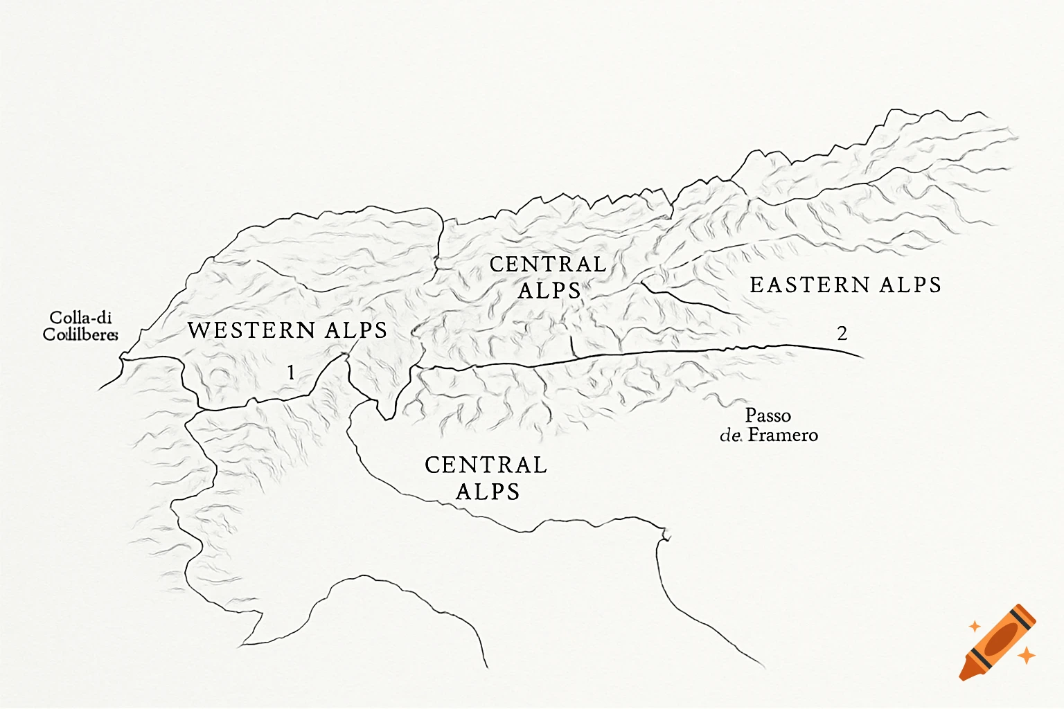
CARTINA MUTA DELLE ALPI CON CONFINI DEI SETTORI ✔ La cartina avrà: contorno dell’arco alpine due linee interne che dividono: Alpi Occidentali Alpi Centrali Alpi Orientali stile bianco e nero, linee semplici I confini segnati saranno: Linea 1: dal Colle di Cadibona al Colle del Ferret Linea 2: dal Colle del Ferret al Passo del Brennero See more