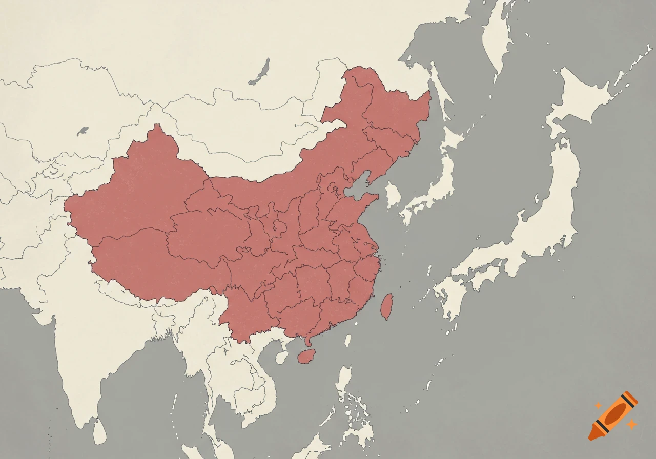
A colorful political map of China showing provincial divisions with Traditional Chinese names and red dots for capital cities.
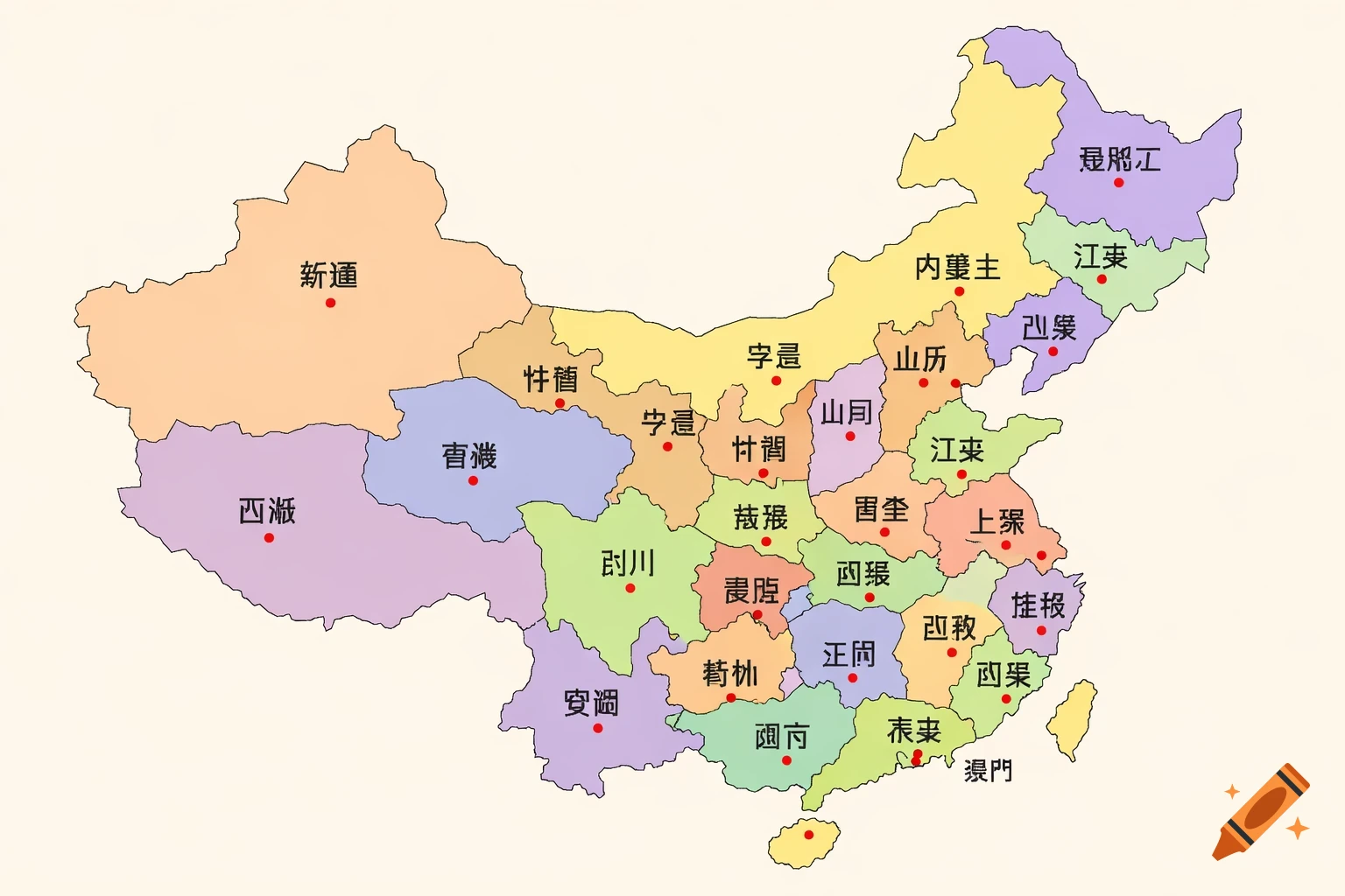
A detailed, flat vector illustration of a map of China, clearly divided by provincial boundaries. The map is presented on a clean, light beige background. Each province is colored in soft, distinct pastel shades to differentiate the regions. Inside each province, there is the correct Traditional Chinese character for the province name (e.g., 廣東, 北京, 四川, 上海) written in a clear, legible black font. Next to each province name, there is a small, distinct solid red dot indicating the location of the capital city. The style is educational, clean, and minimalist, focusing on clarity and geographical representation. High resolution, top-down view. See more