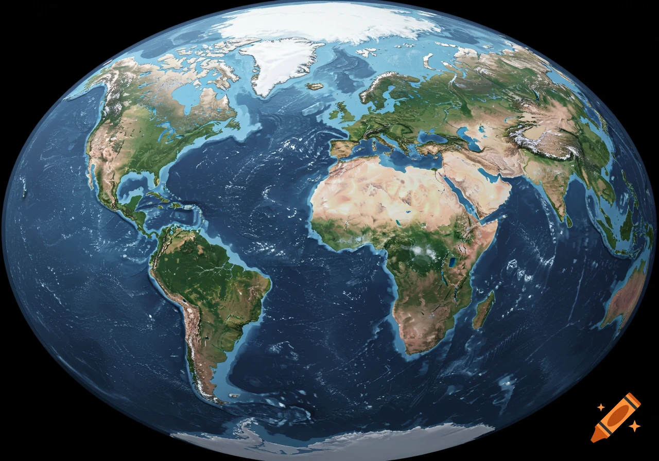
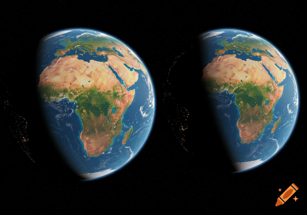
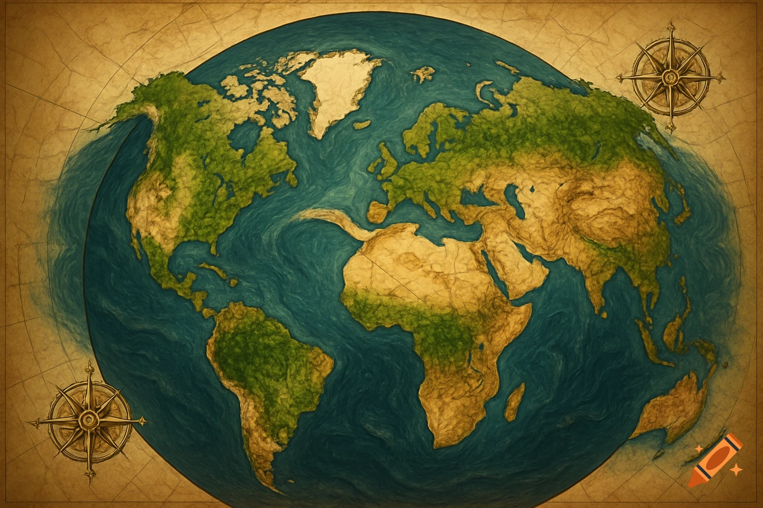
Educational infographic of Earth as an oblate spheroid with Mount Everest and Chimborazo, showing sea level and mean sea level in oceans.
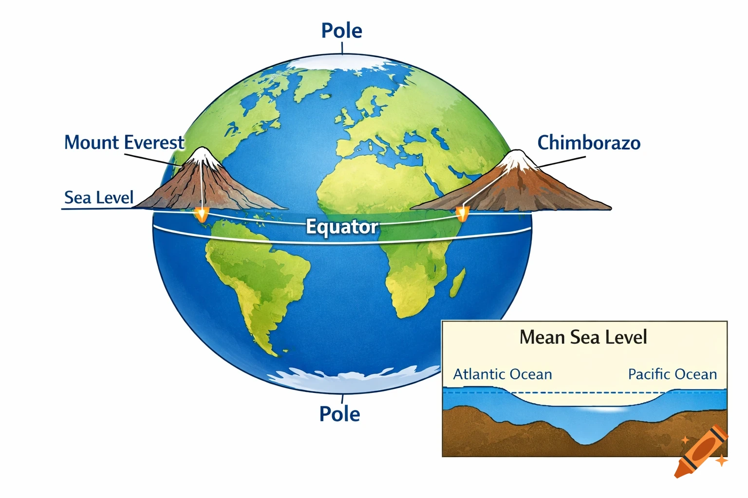
AI Prompt (English version) Create an educational infographic showing the Earth as an oblate spheroid (slightly flattened at the poles and bulging at the equator). Include the following elements: Label the poles as "Poles" and the equator as "Equator". Show Mount Everest and Chimborazo peaks. Draw lines/arrows from the Earth's center to both peaks. Make Chimborazo's line slightly longer than Everest (~6 km difference). Label peaks: "Mount Everest" and "Chimborazo". Draw a horizontal line representing "Sea Level" to show that Mount Everest is tallest above sea level. Optional inset: small diagram showing Atlantic Ocean and Pacific Ocean with slightly different levels, labeled "Mean Sea Level". Use flat, educational colors: Earth (blue & green), mountains (brown/gray), clear lines and arrows. High clarity, textbook-style, visually intuitive, suitable for PDF or educational material, clean background, infographic style. See more