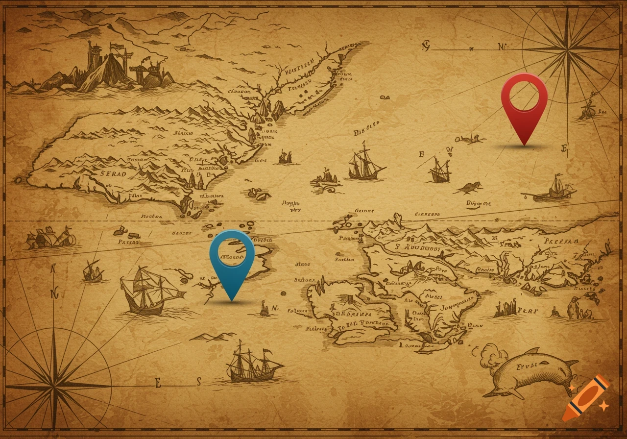
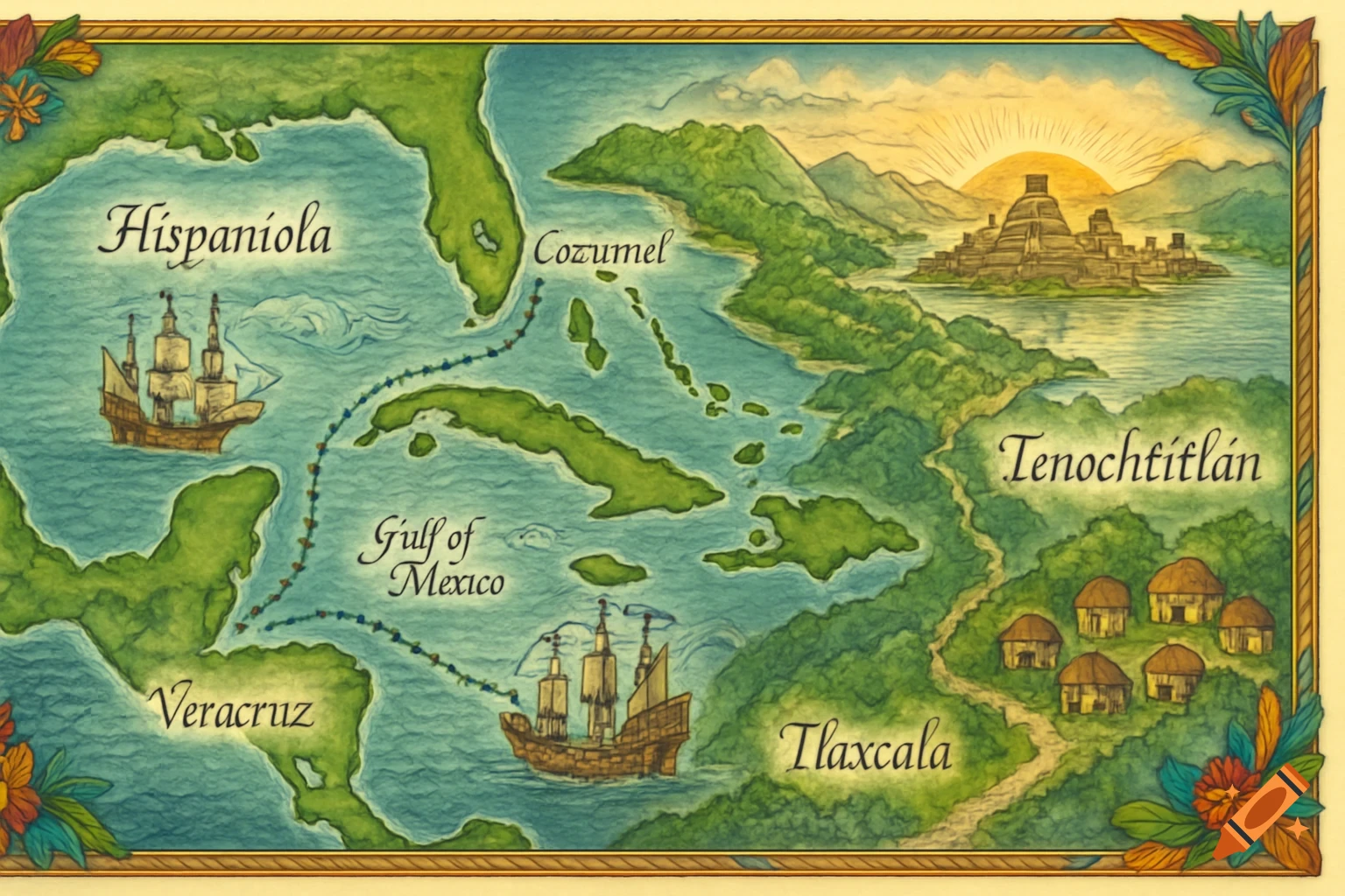
An antique parchment map showing the Gulf of Mexico and Caribbean Sea with New Orleans, Riviera Maya, Costa Maya, Harvest Caye, and Roatan marked, featuring a compass rose.
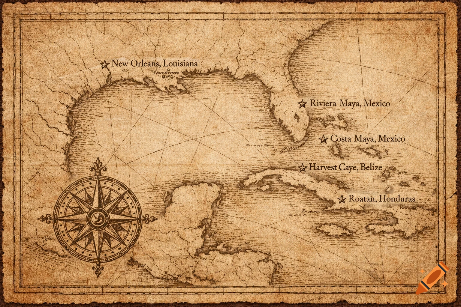
Hand drawn antique map on parchment background showing the Gulf of Mexico and Caribbean Sea. Show southern United States coastline, Yucatan Peninsula, Belize, and Honduras with realistic coast shapes. Mark ONLY these five locations with small five-point stars and clear labels: New Orleans, Louisiana (north of the Gulf of Mexico near Mississippi River delta) Riviera Maya, Mexico (eastern coast of the Yucatan Peninsula, north of Costa Maya) Costa Maya, Mexico (eastern coast of the Yucatan Peninsula, south of Riviera Maya) Harvest Caye, Belize (small island just offshore of southern Belize in the Caribbean Sea) Roatan, Honduras (island in the Caribbean Sea north of Honduras mainland, east of Belize) Include one ornate compass rose. No extra cities, no country names, no fantasy elements, no ships, no sea monsters, no modern labels. See more