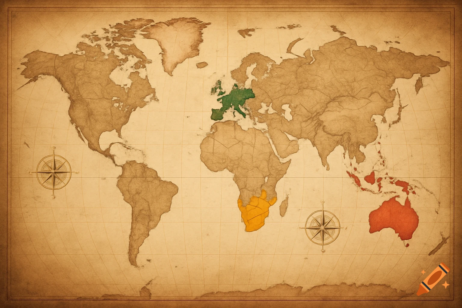
A stylized world map indicating population density with red for major, orange for secondary, and grey for uninhabited zones.
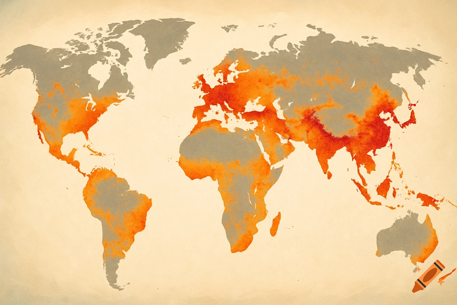
Create a simplified world map highlighting population density. Use colors to indicate: red for major population centers (Foyers principaux), orange for secondary population centers (Foyers secondaires), and grey for uninhabited zones (Zones inhabitées). The map should be clear, easy to read, and stylized, not too detailed, showing all continents in a simple, conceptual way. See more