Drone flying over a cityscape, displaying mapping data on layered sheets, a smartphone, and a laptop.
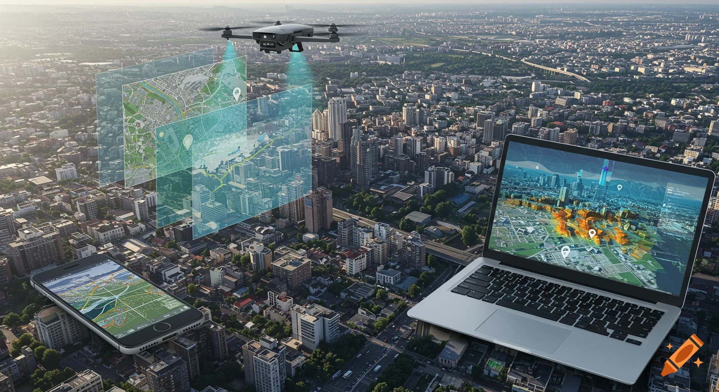
Create a realistic, natural-style image of an urban cityscape viewed from above. Show a drone flying over the city, scanning roads and buildings, with subtle beams or point clouds representing sensor data. Place a modern smartphone and a laptop in the foreground, both displaying mapping data. Above the city, layer several semi-transparent colored data sheets (representing LiDAR, imagery, and maps) merging together. Add visual hints of AI analysis, like highlighted building outlines or faint neural network patterns. No people or text. The scene should look advanced but natural, inspired by the provided reference images. See more