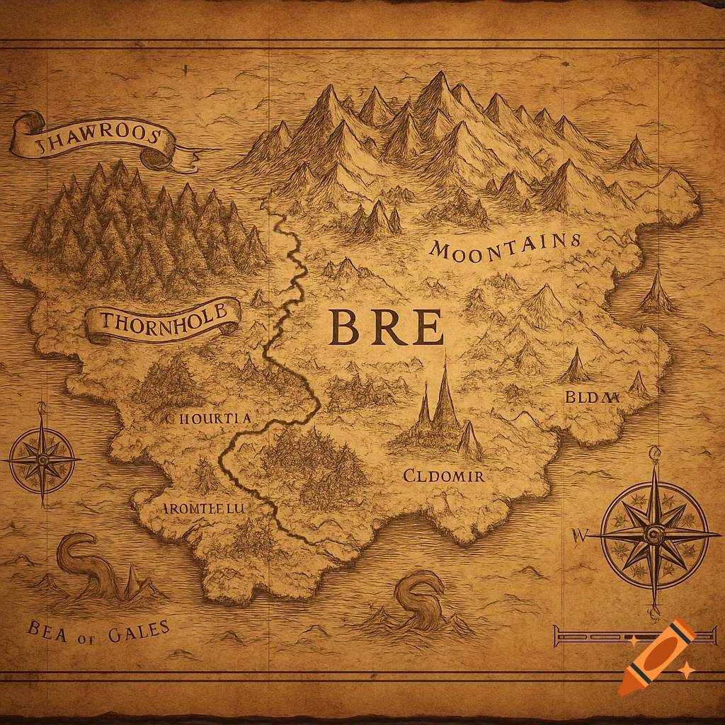
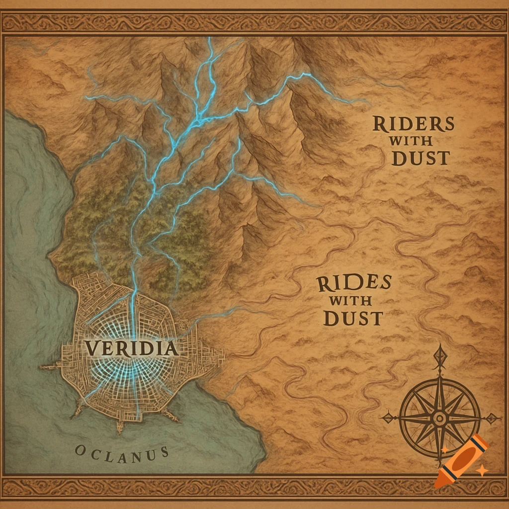
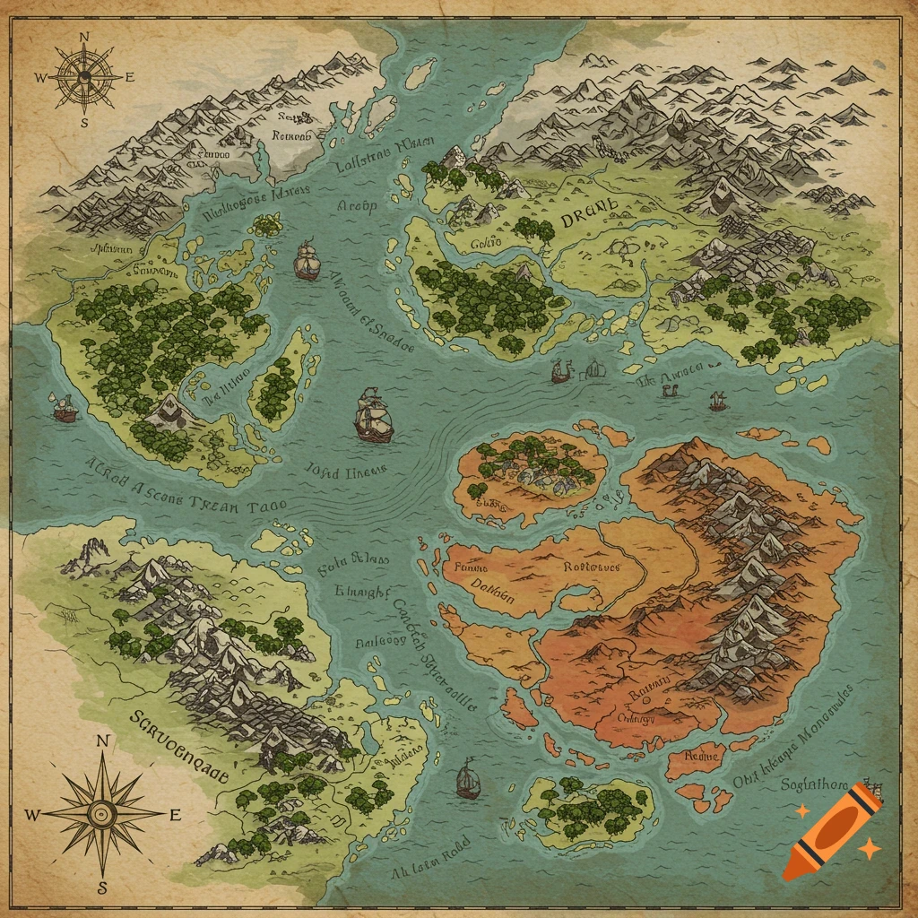
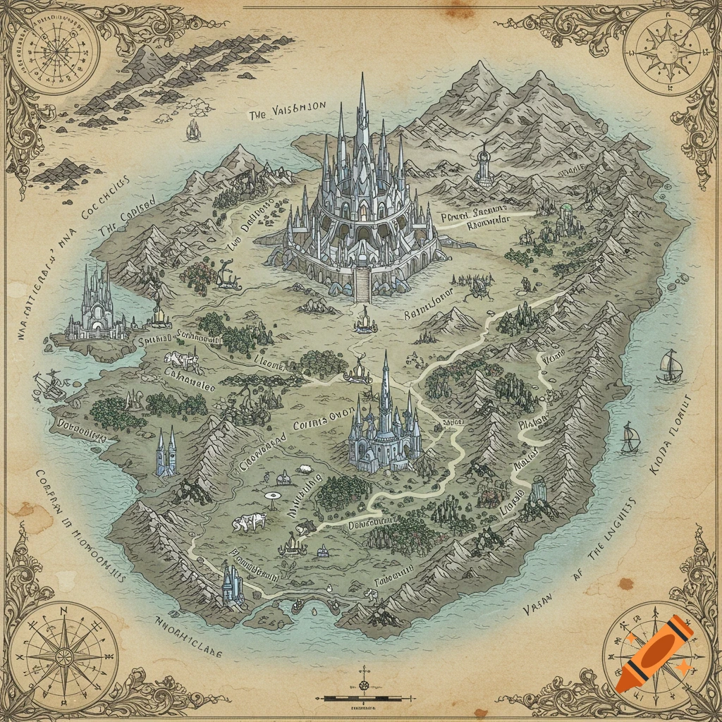
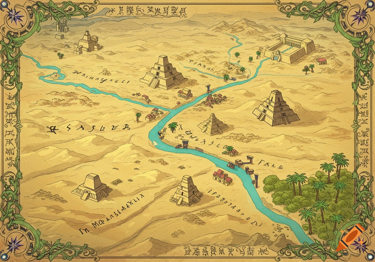
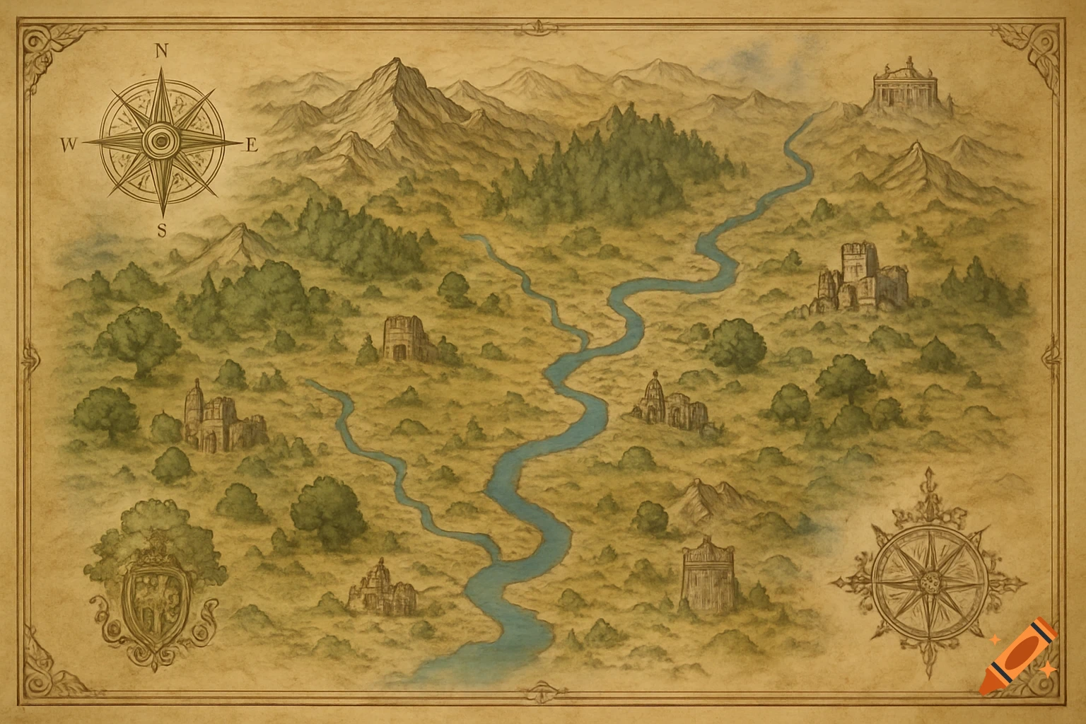
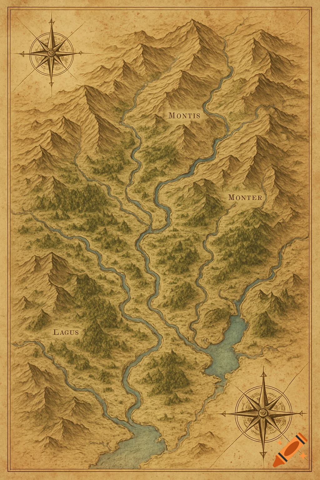
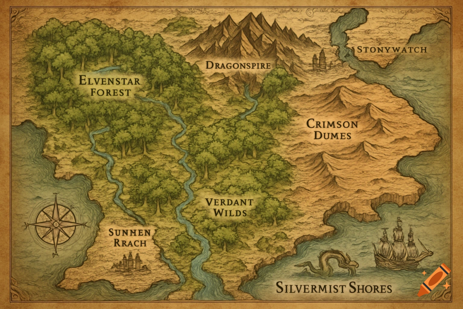
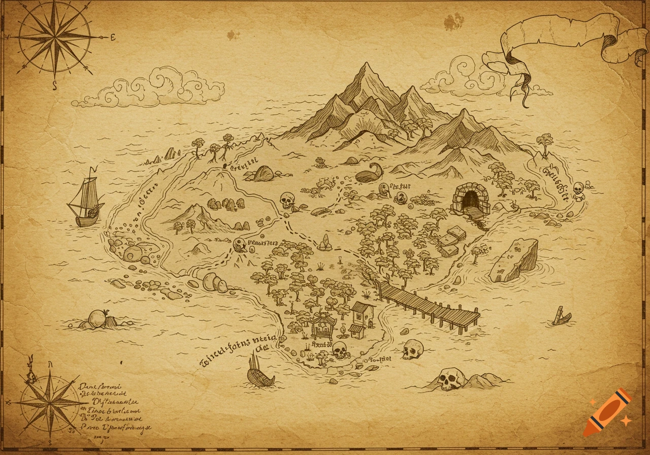
An aged parchment map of the Old West, featuring mountains, rivers, dotted trails, and hand-drawn settlements like Dusty Creek and Red Rock Station. A vintage compass rose is in the corner, all on a sepia-toned, weathered paper texture.
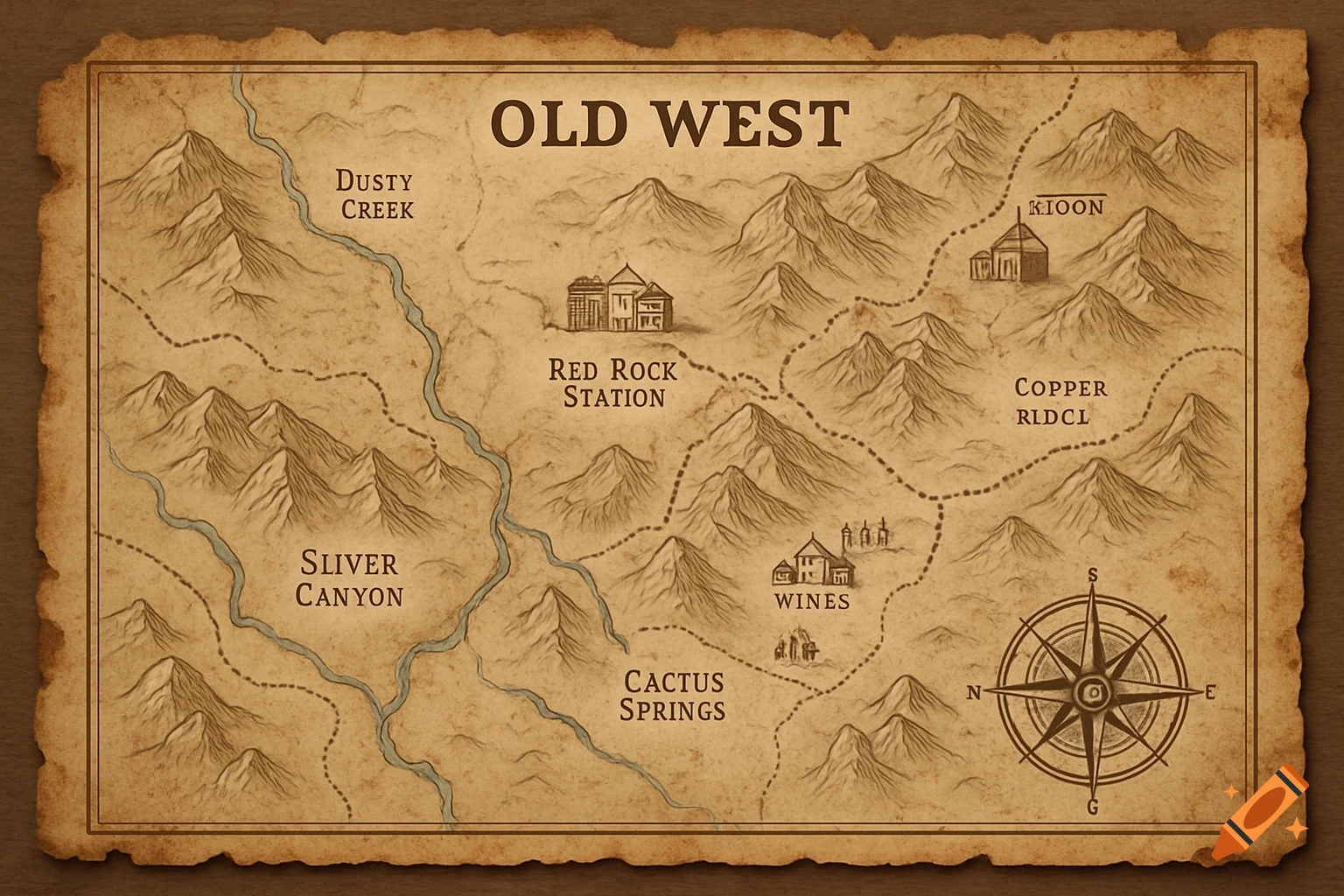
Aged parchment map of Old West territory, vintage cartography style. Desert terrain with sandy beige and tan regions, winding blue rivers cutting through arid landscape. Dirt roads and wagon trails marked with dotted lines connecting frontier settlements. Hand-drawn labeled towns: "Dusty Creek", "Red Rock Station", "Silver Canyon", "Cactus Springs", "Copper Ridge". Mountain ranges illustrated with traditional hachure shading technique. Compass rose in ornate Victorian style. Weathered paper texture with coffee stains, torn edges, creases and faded ink. Sepia tones, burnt sienna borders, antique map aesthetics. Shot with overhead flat lay perspective, even lighting to show paper texture details. Cartographic symbols for saloons, mining operations, railroad tracks. 19th century frontier mapping style, professional museum-quality reproduction See more