Create
Remove BG
Search
Categories
Tutorial
My images
Upgrade to Pro
Help
Pro
Sign up
Retouch
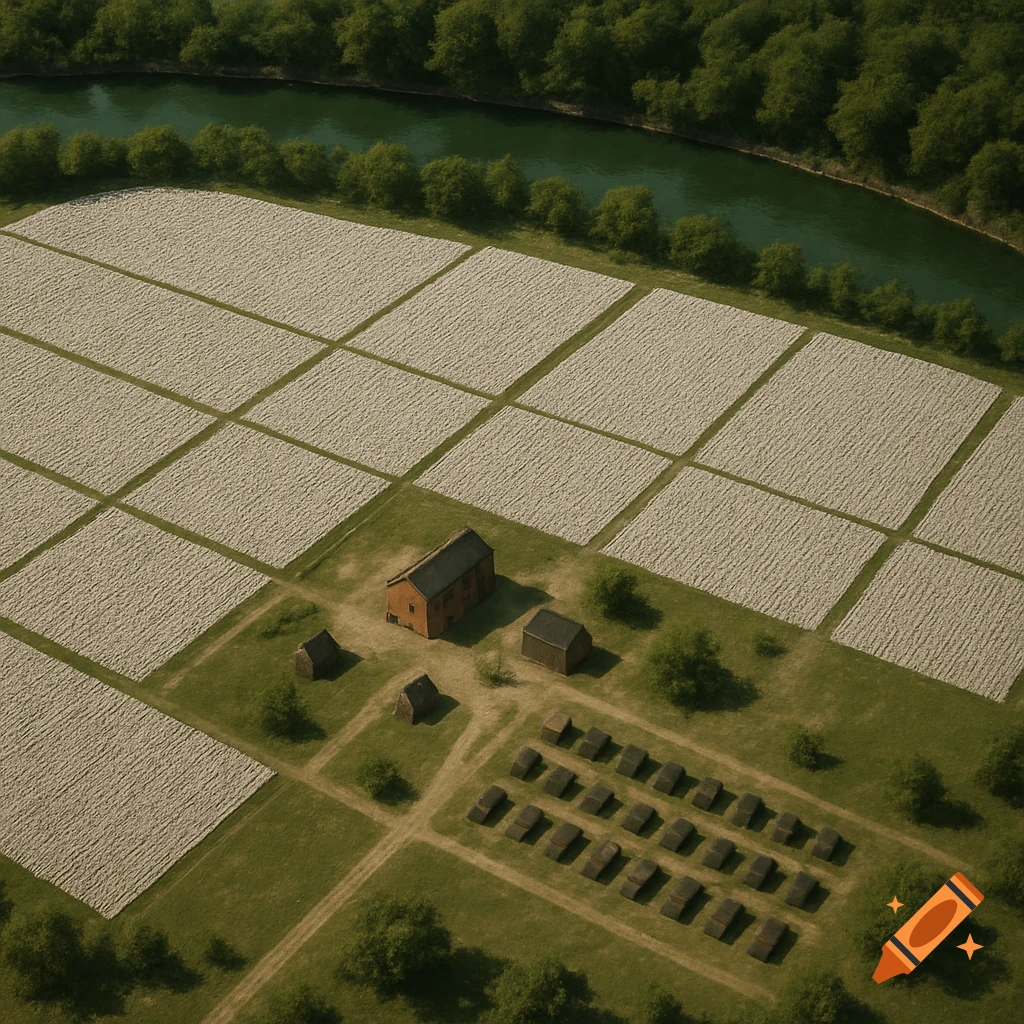
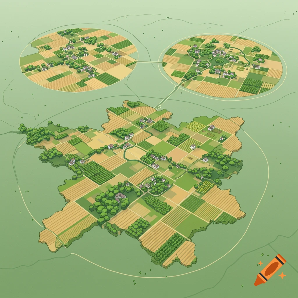
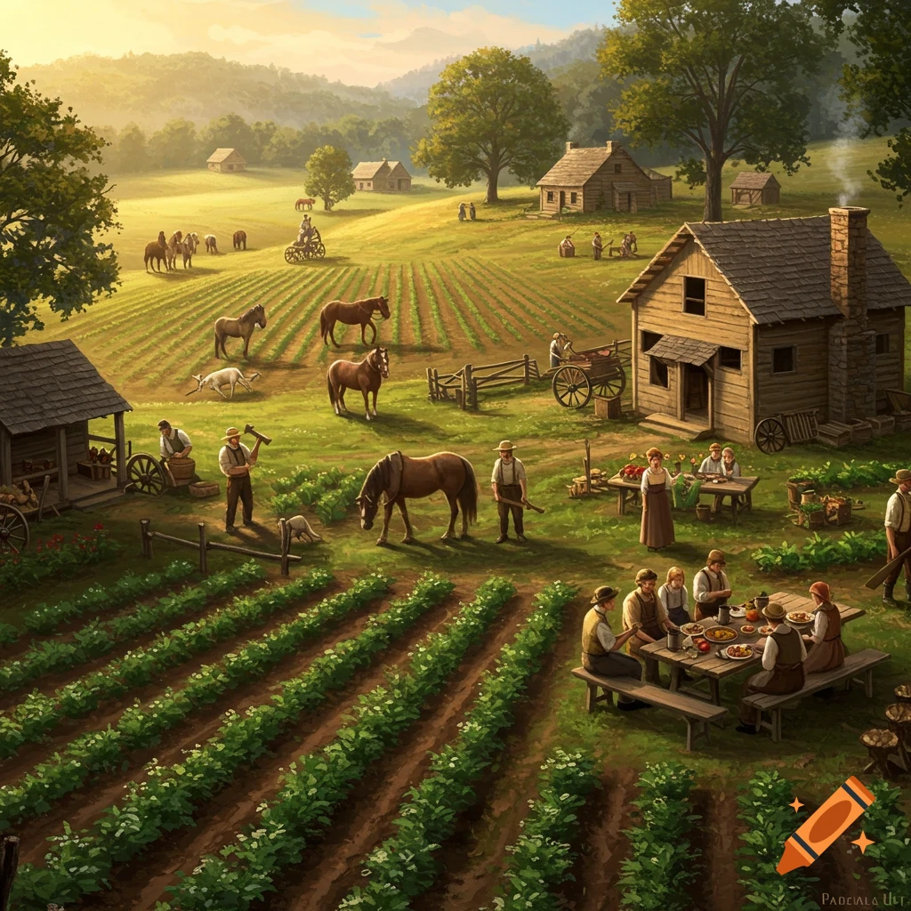
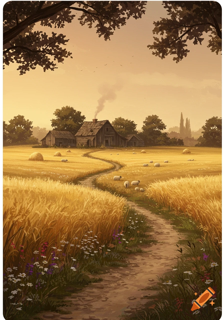
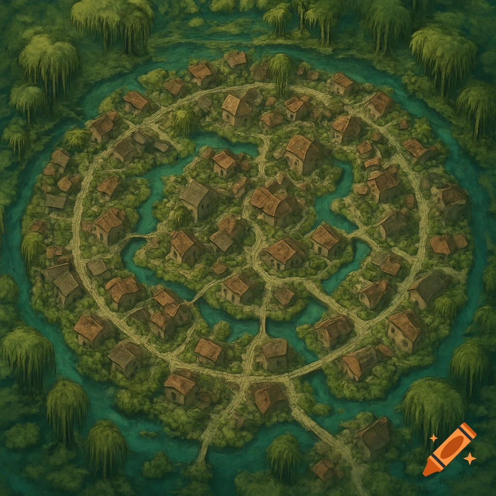
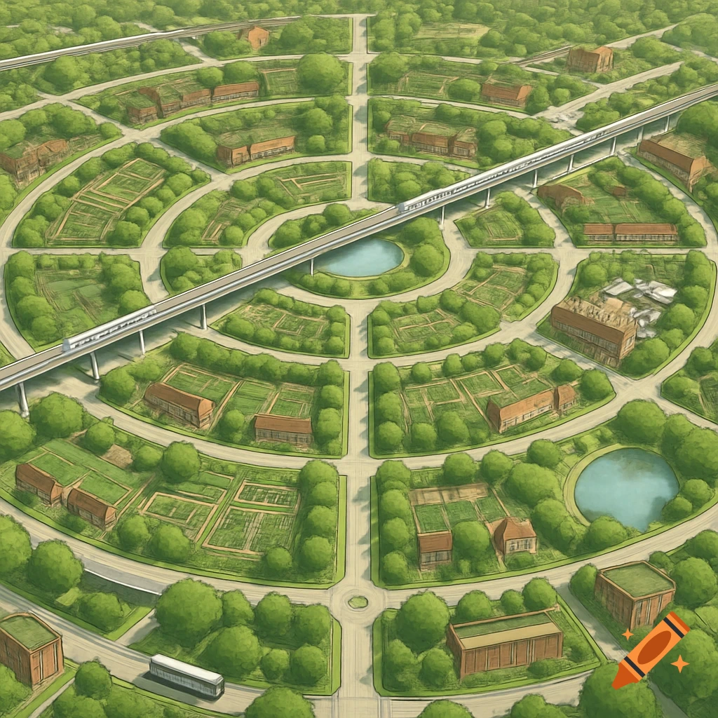
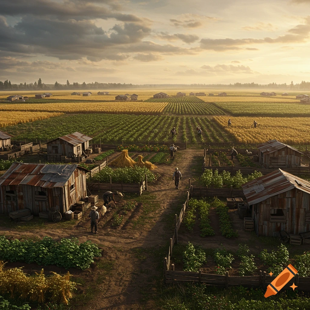
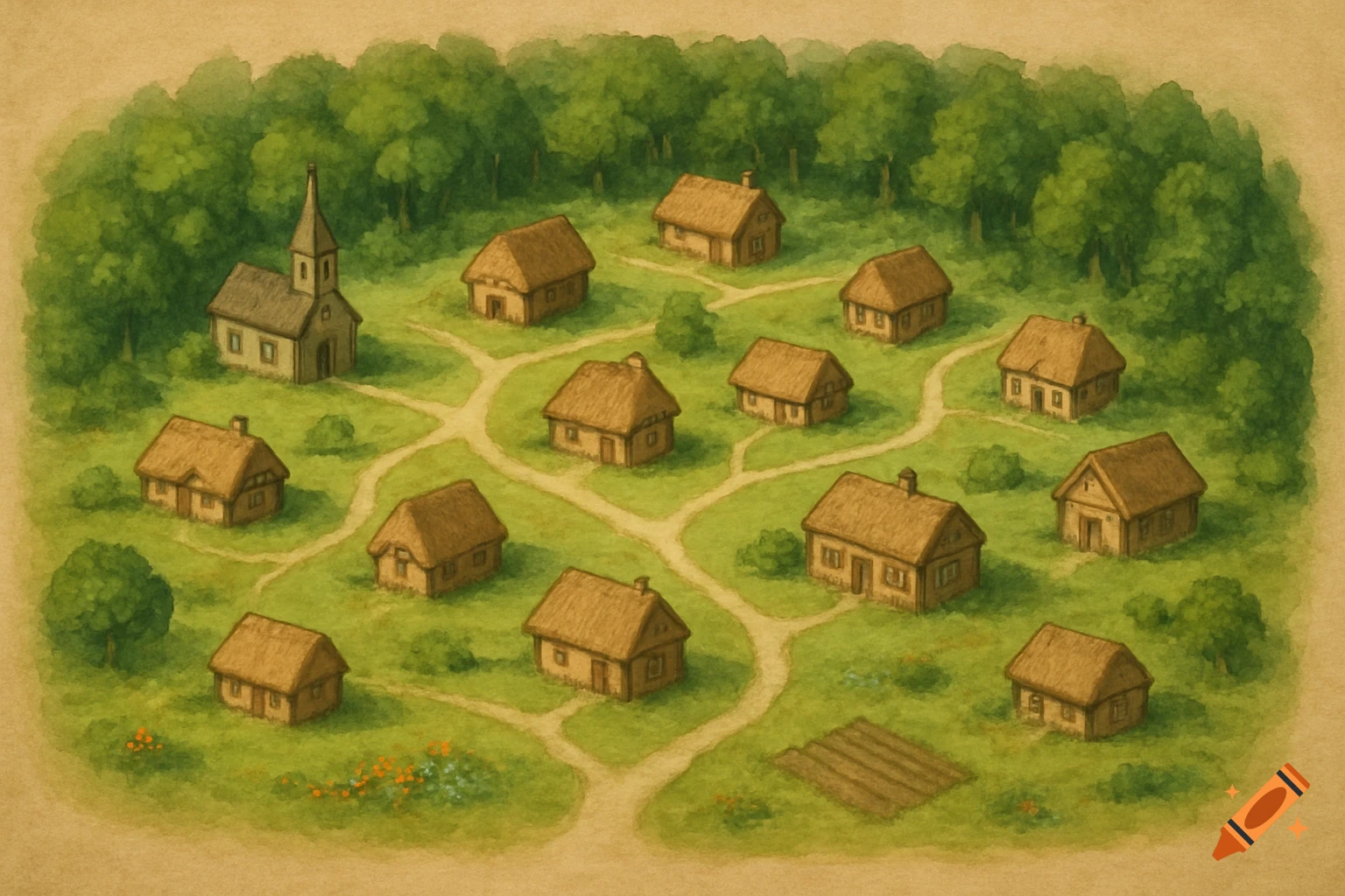
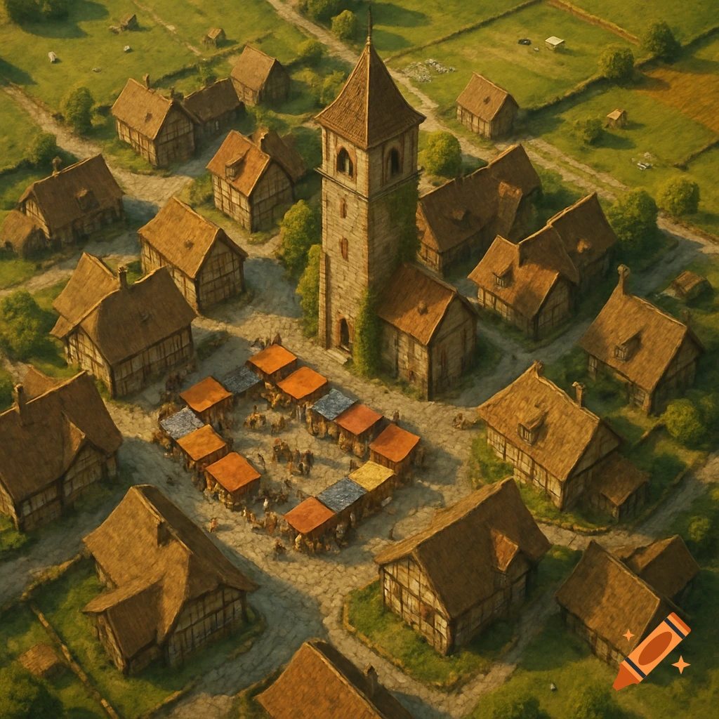
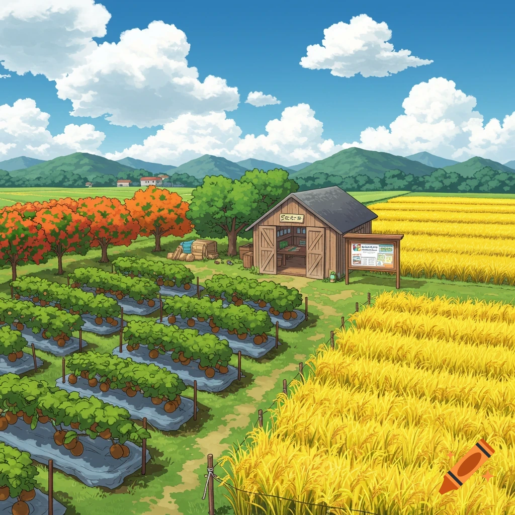
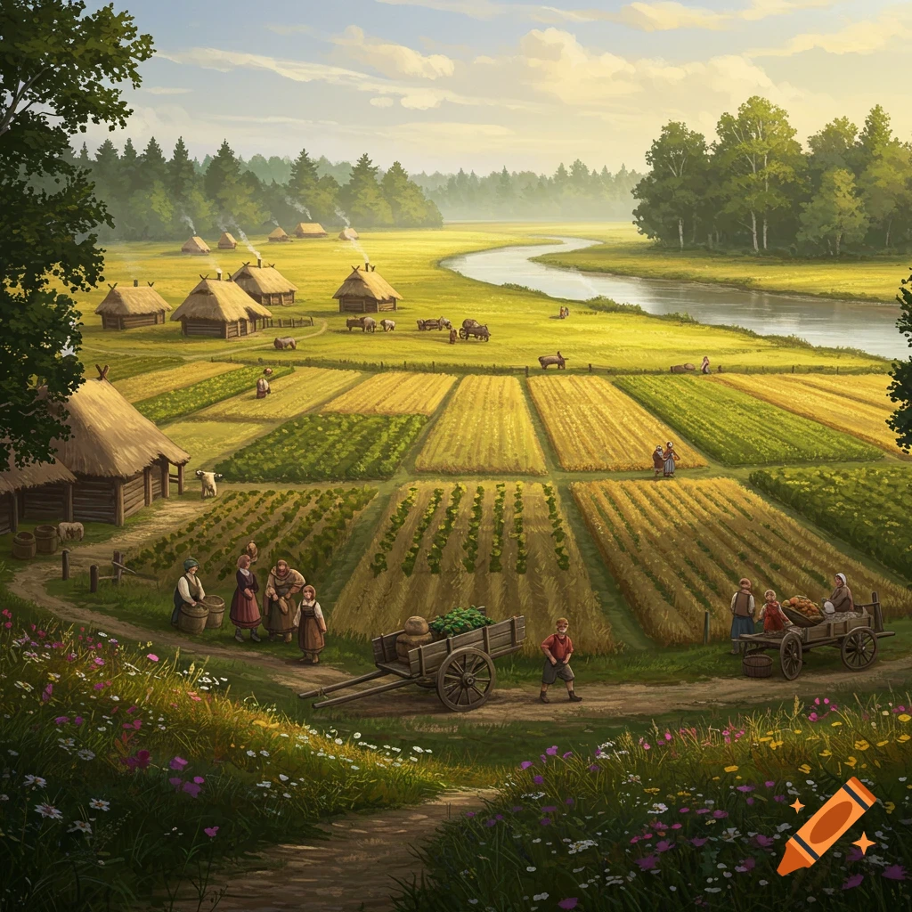
Aerial view of a 1860s Alabama cotton plantation map: 1,100 acres white cotton fields, river bluff north, gin house central, slave quarters south, labeled Asylum Plantation, realistic satellite style. See more
Infos
Get it on a shirt