Create
Remove BG
Search
Categories
Tutorial
My images
Upgrade to Pro
Help
Pro
Sign up
Retouch
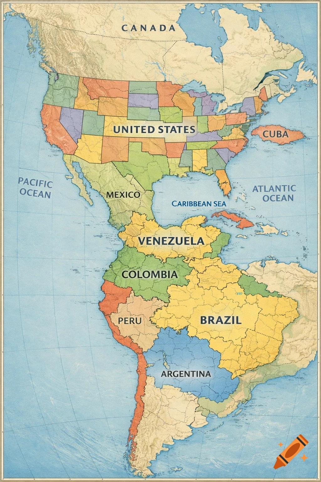
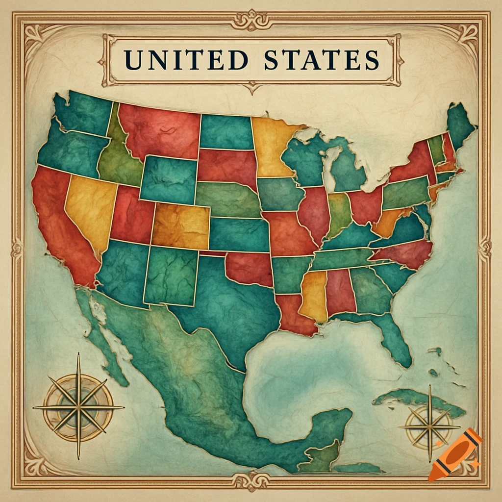
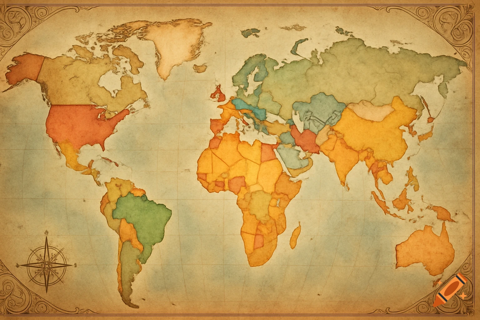
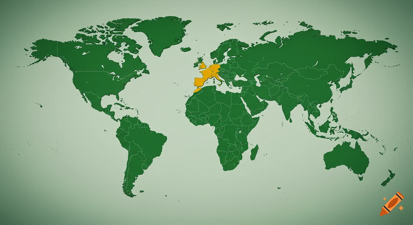
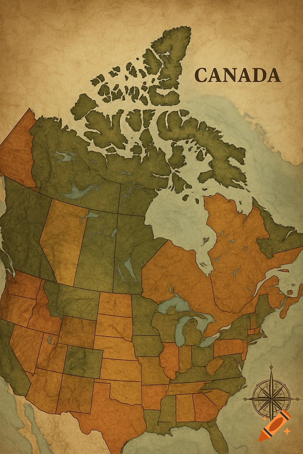
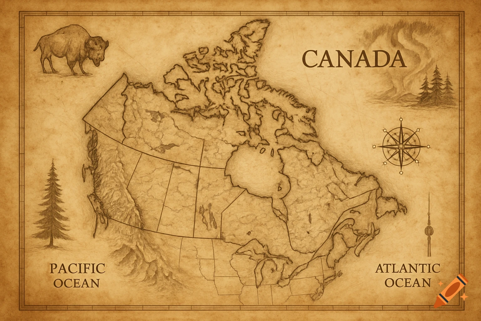
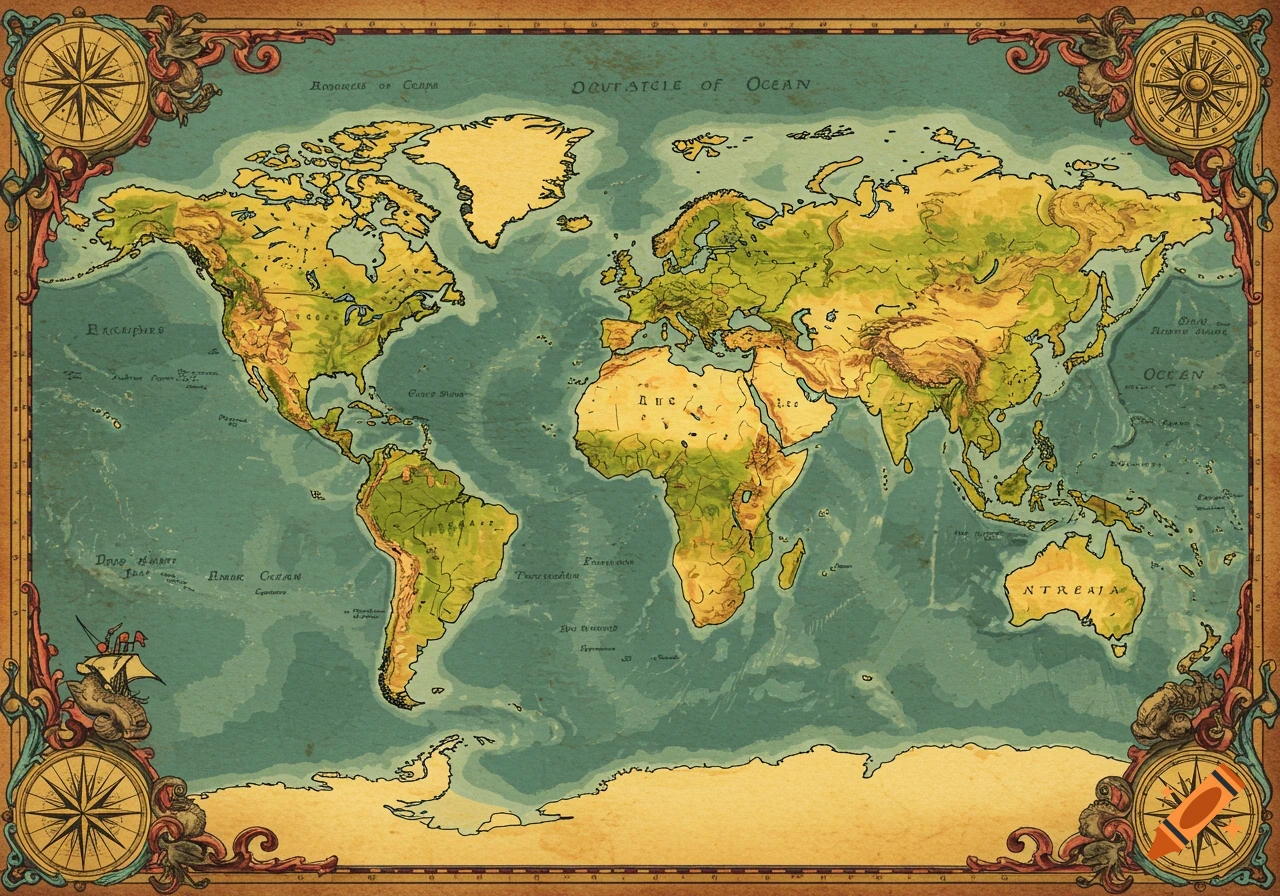
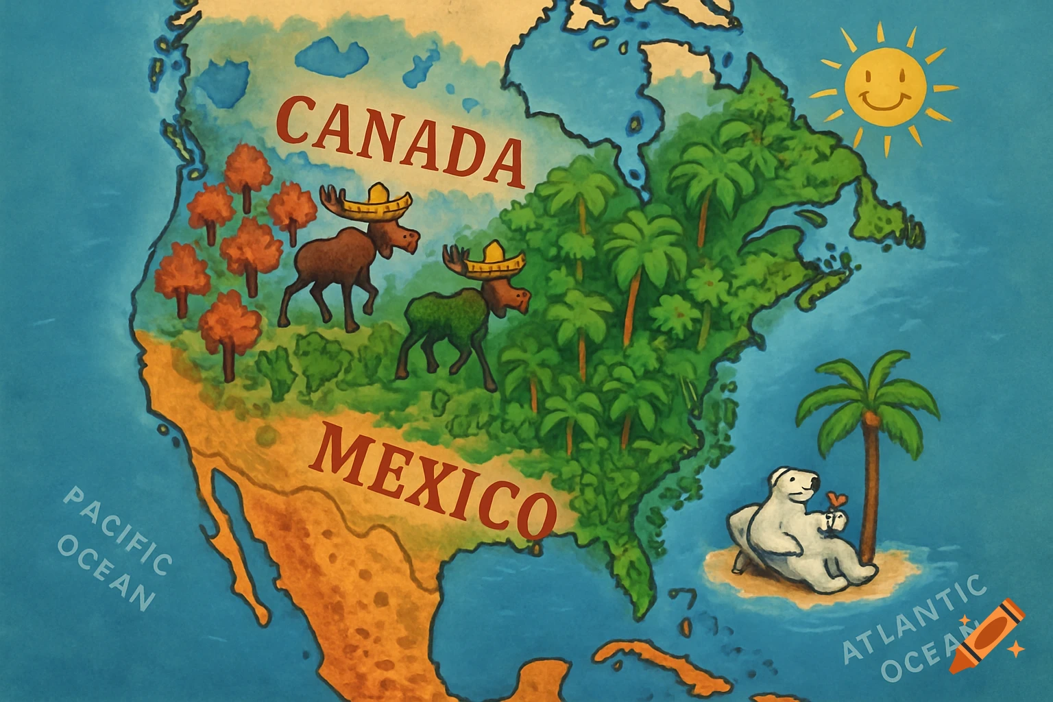
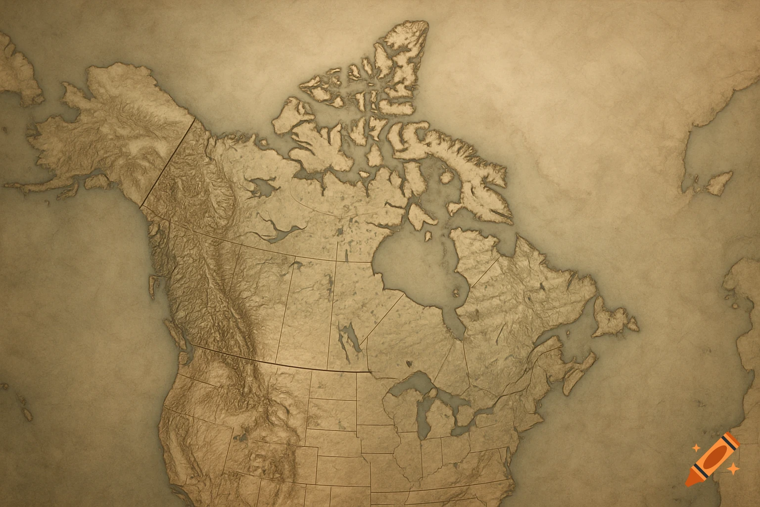
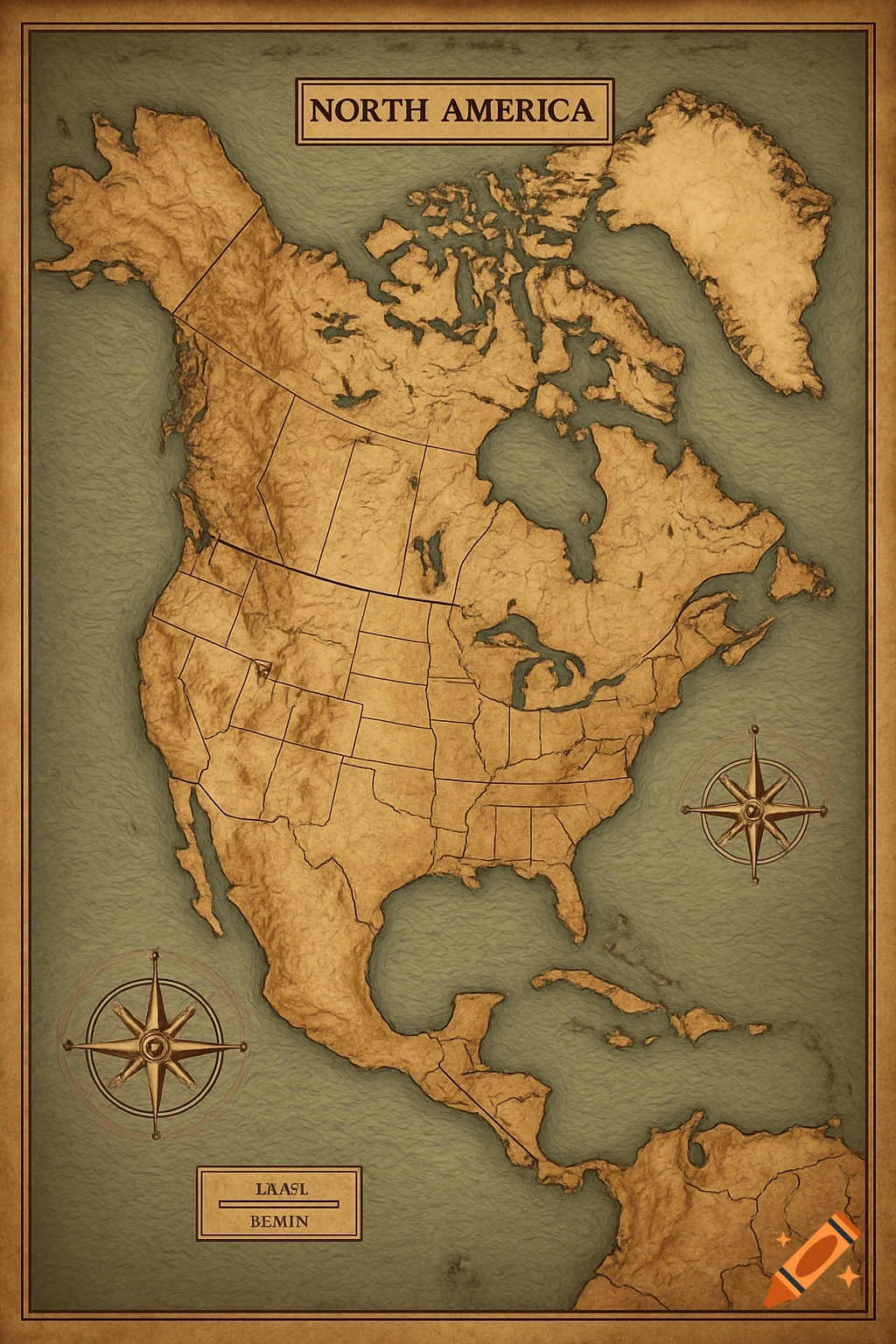
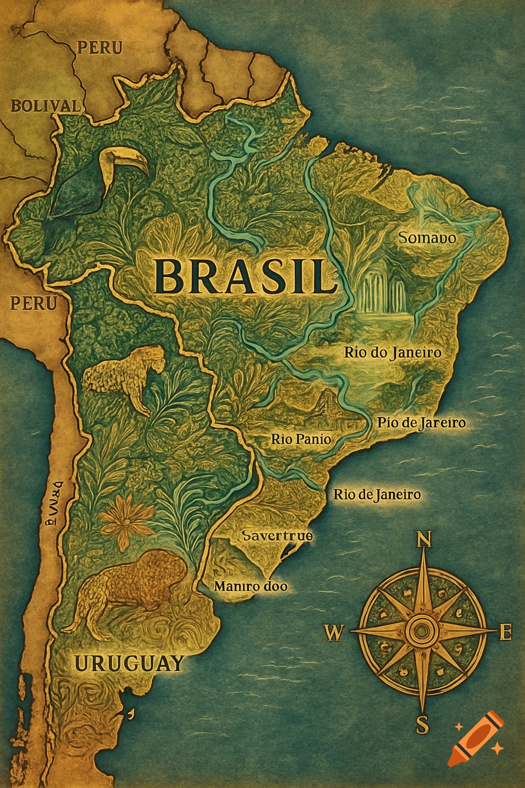
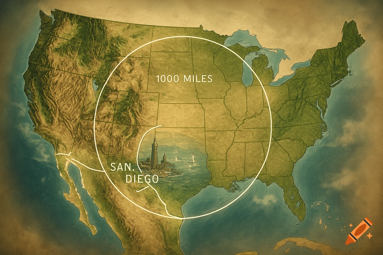
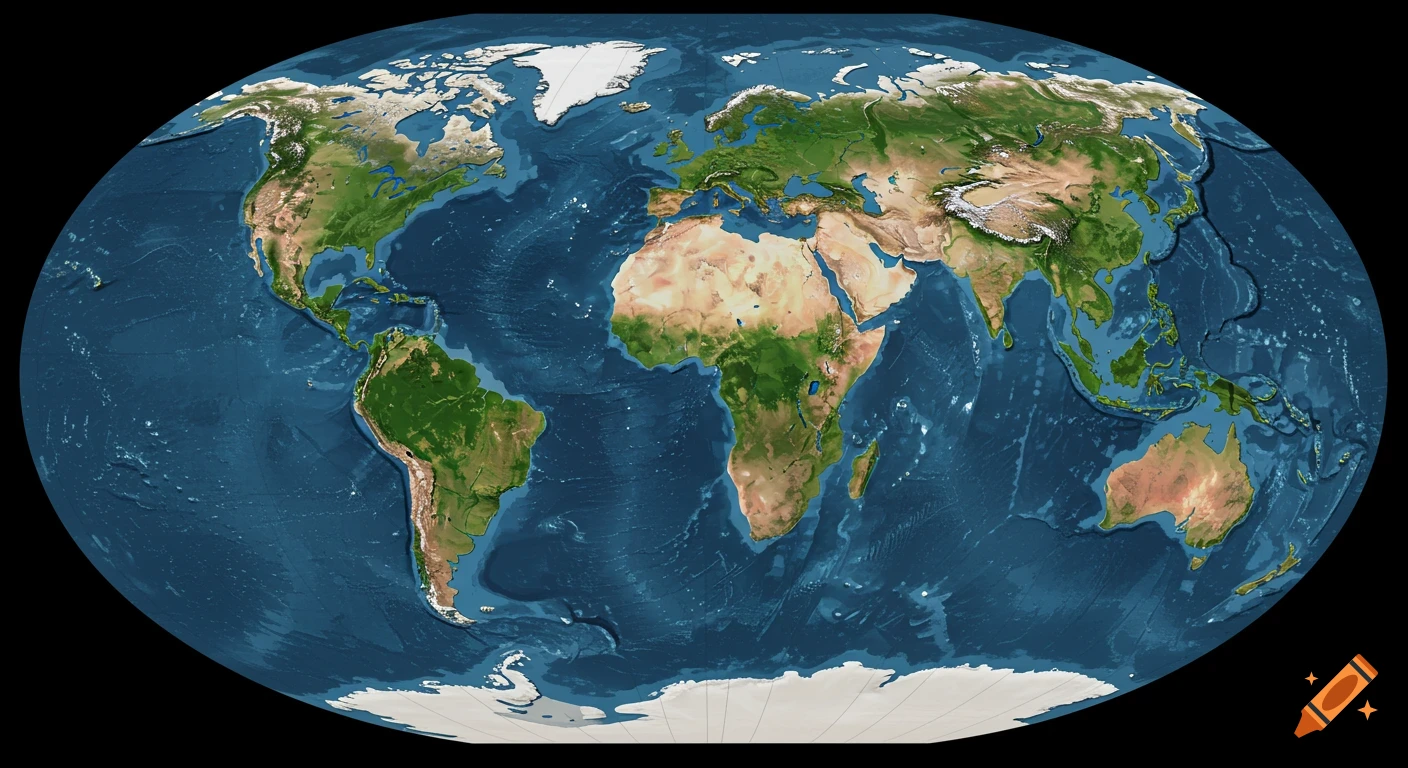
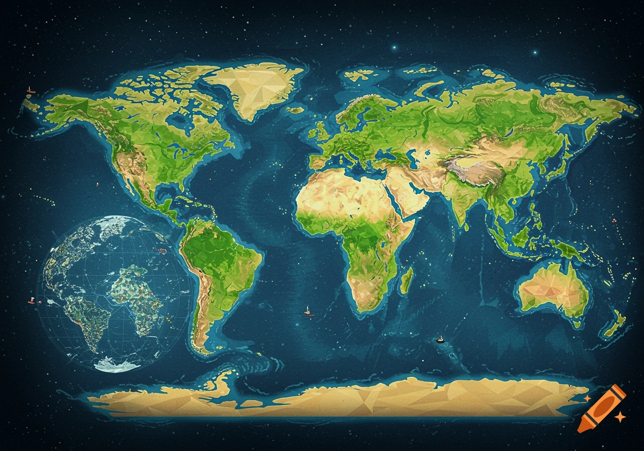
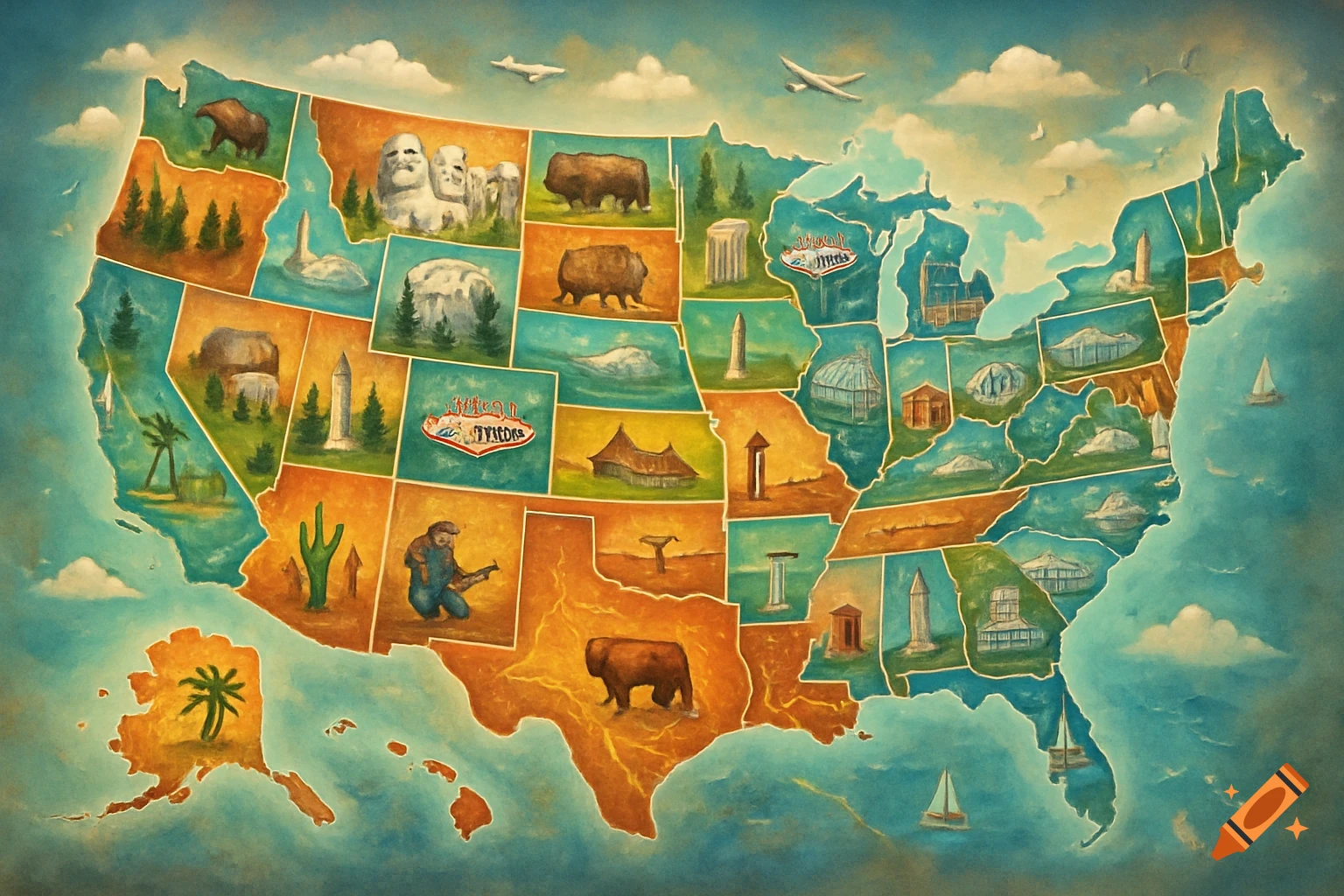
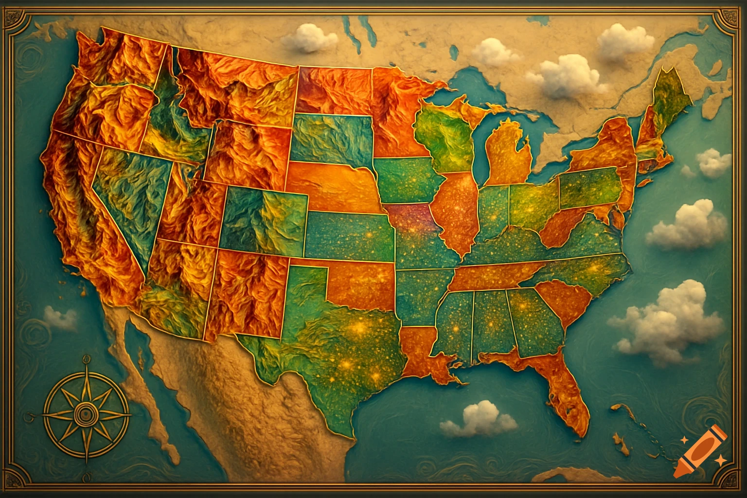
"Map of North, Central, and South America with all countries clearly distinguished. In the United States, show the state borders clearly, and include Venezuela, Colombia, and Cuba as if they were additional U.S. states." See more
Infos
Get it on a shirt