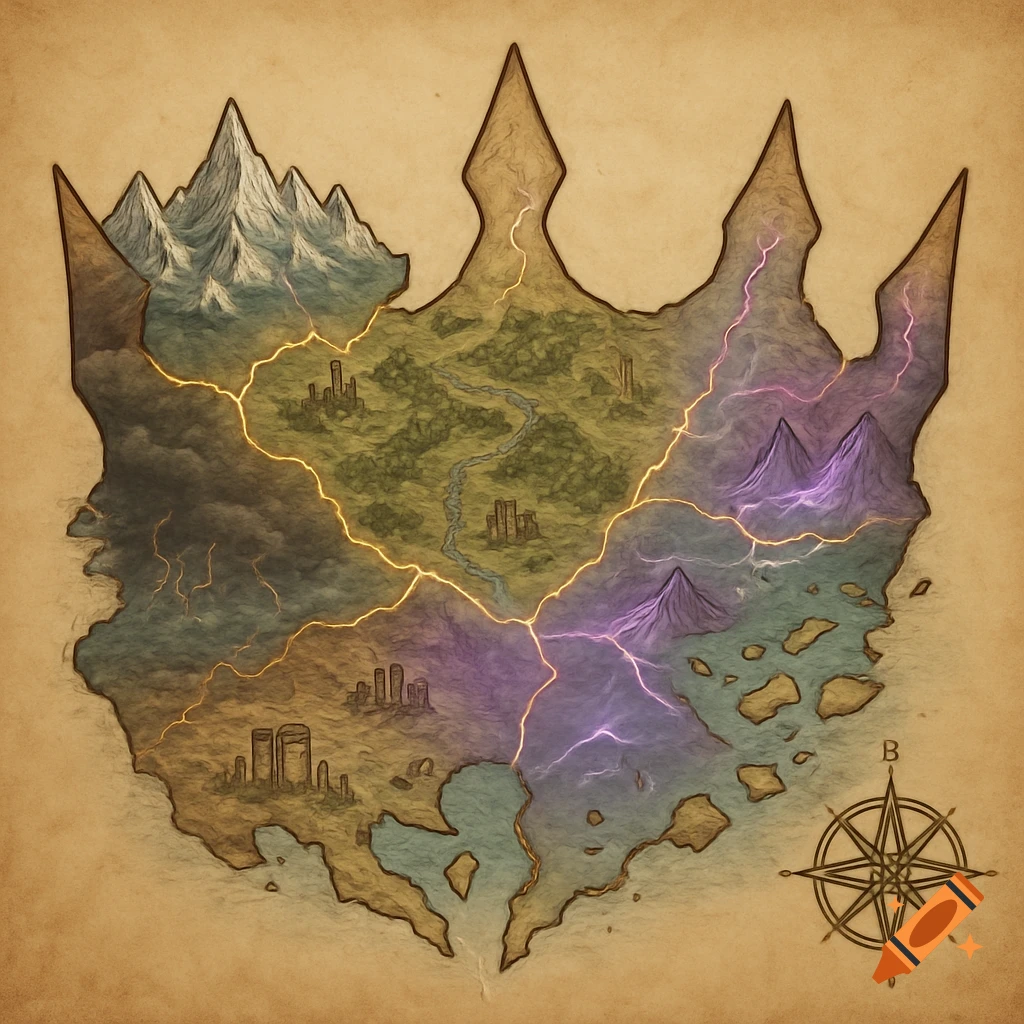
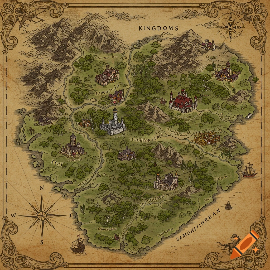
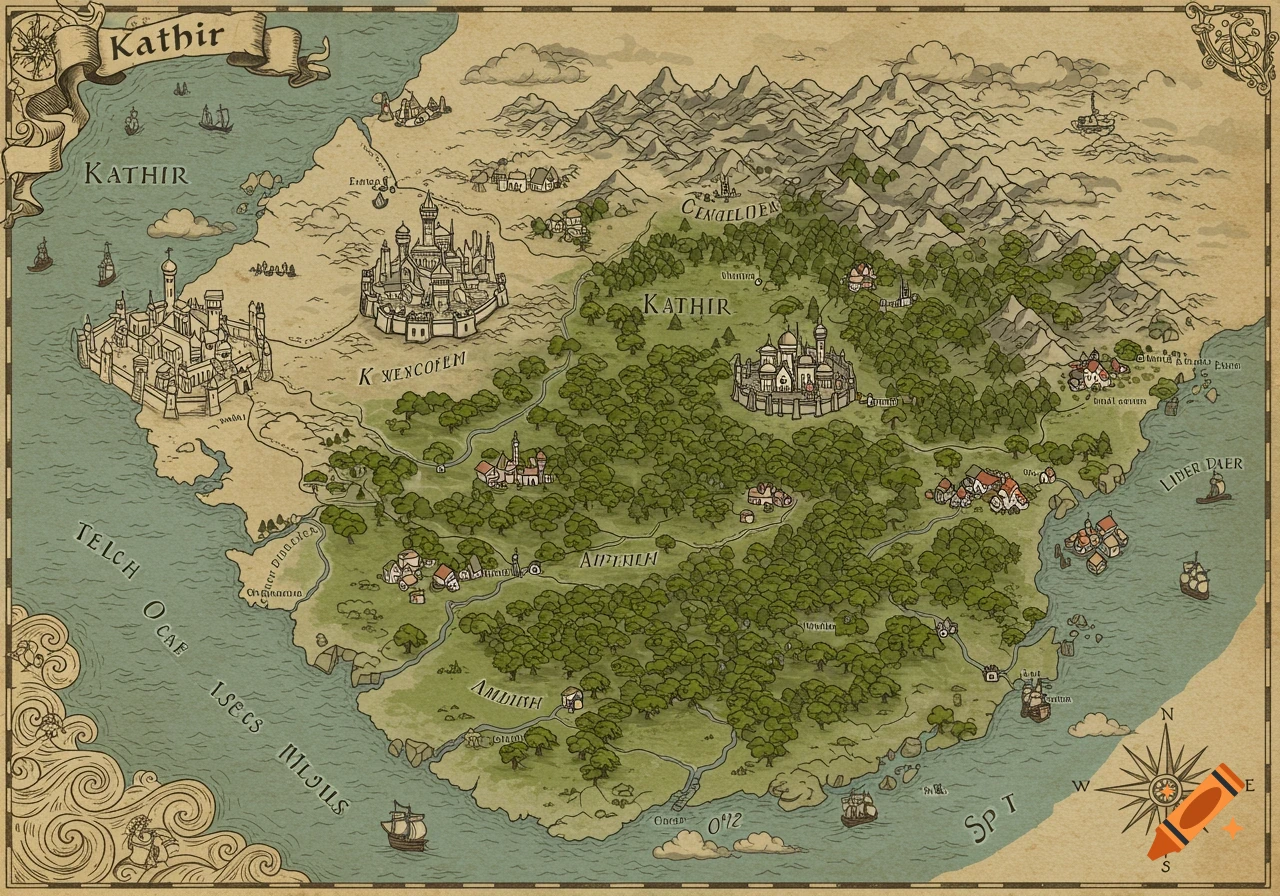
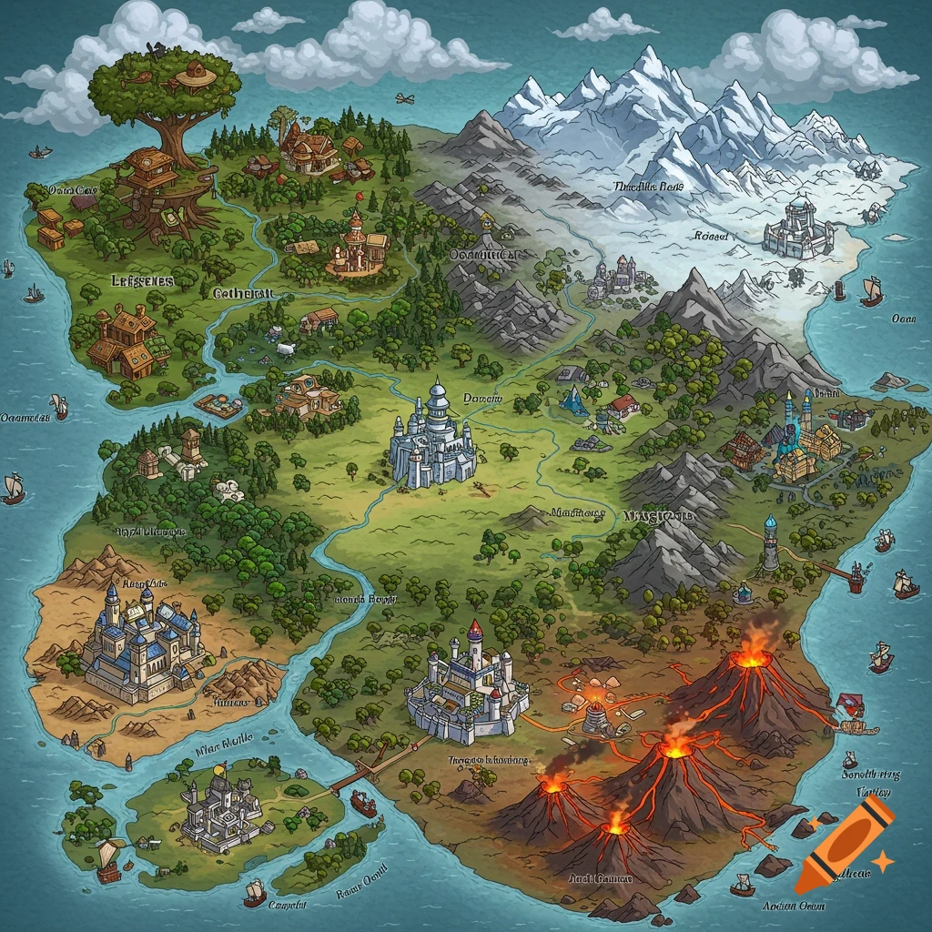
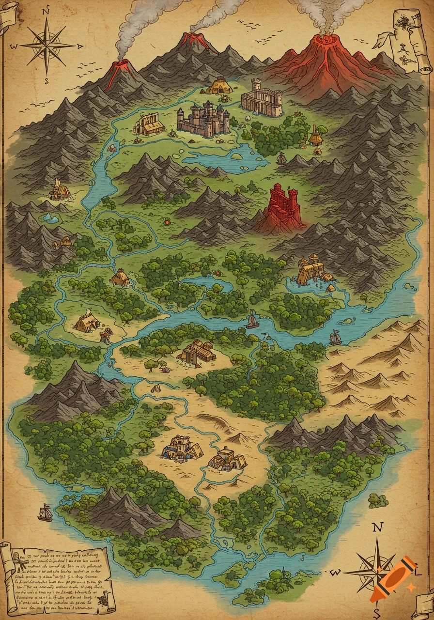
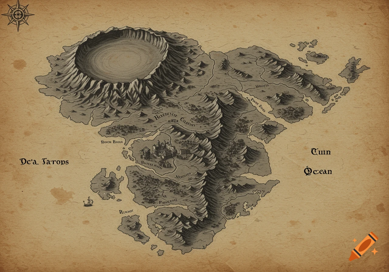
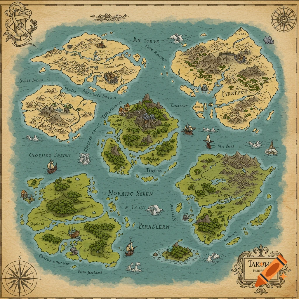
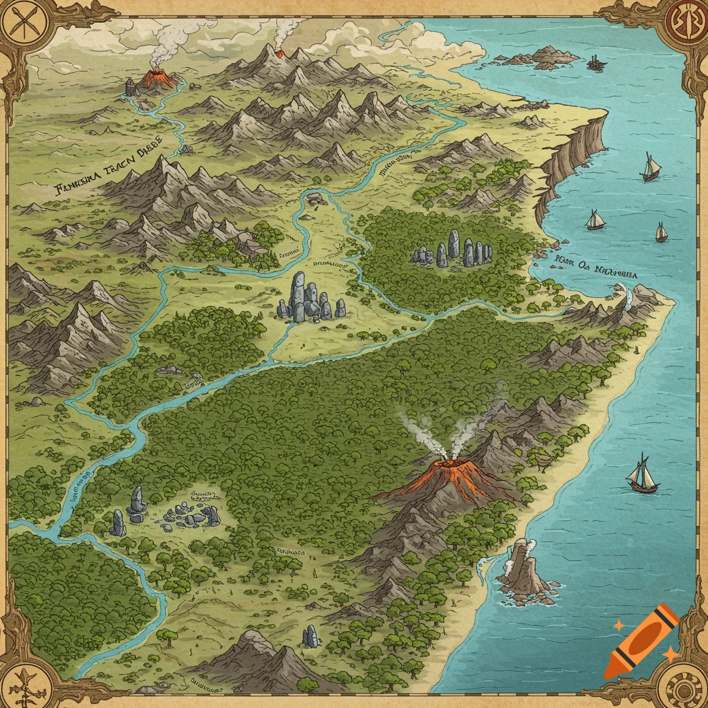
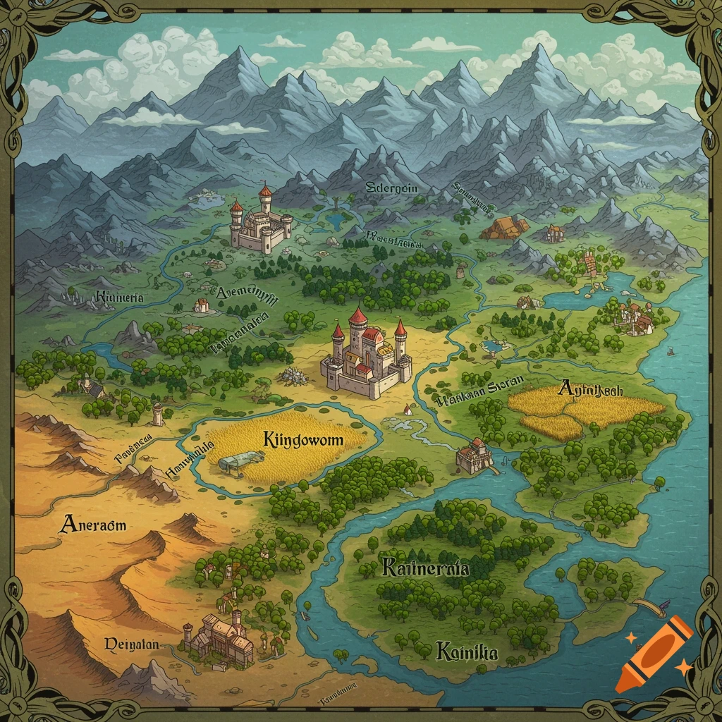
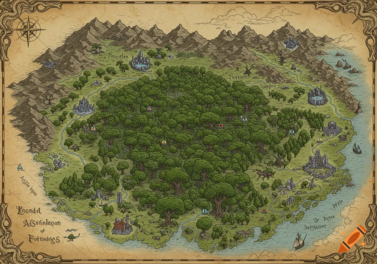
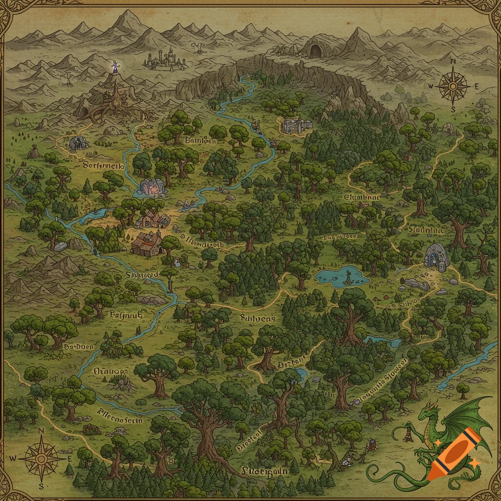
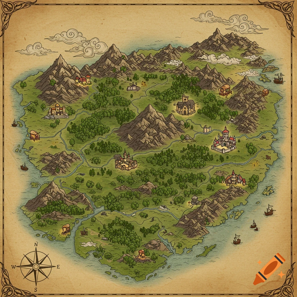
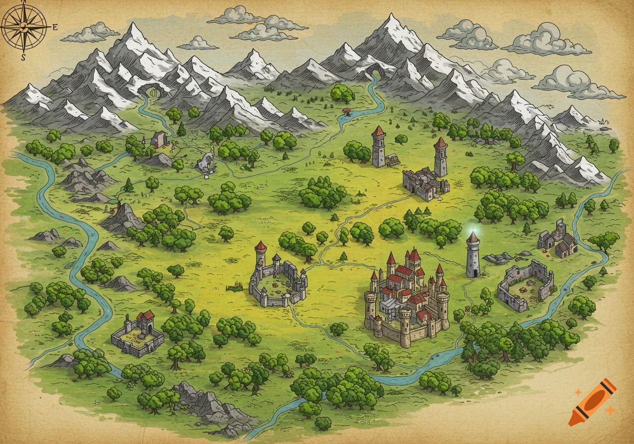
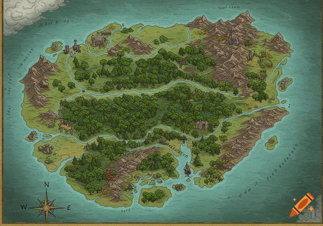
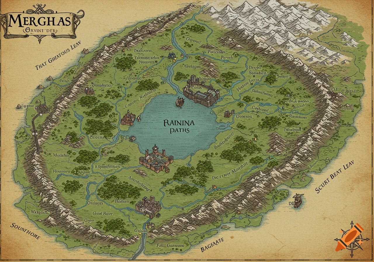
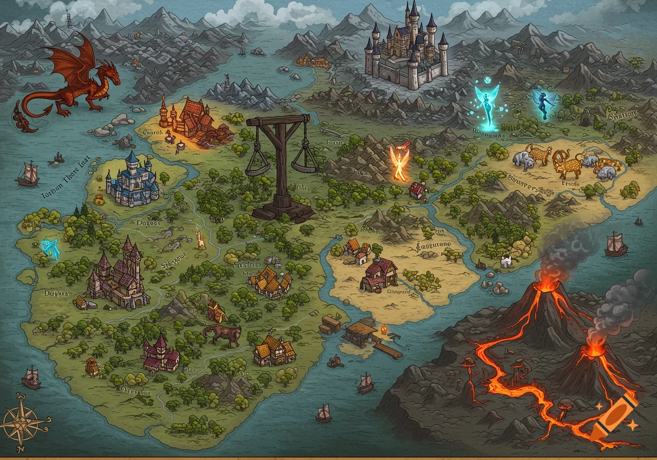
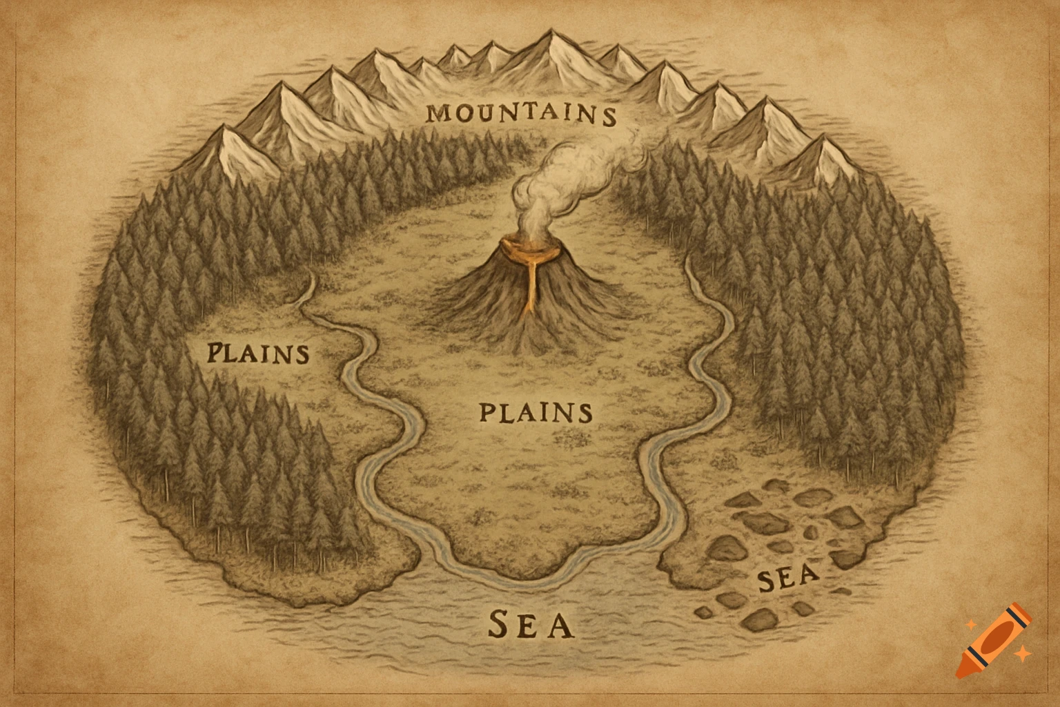
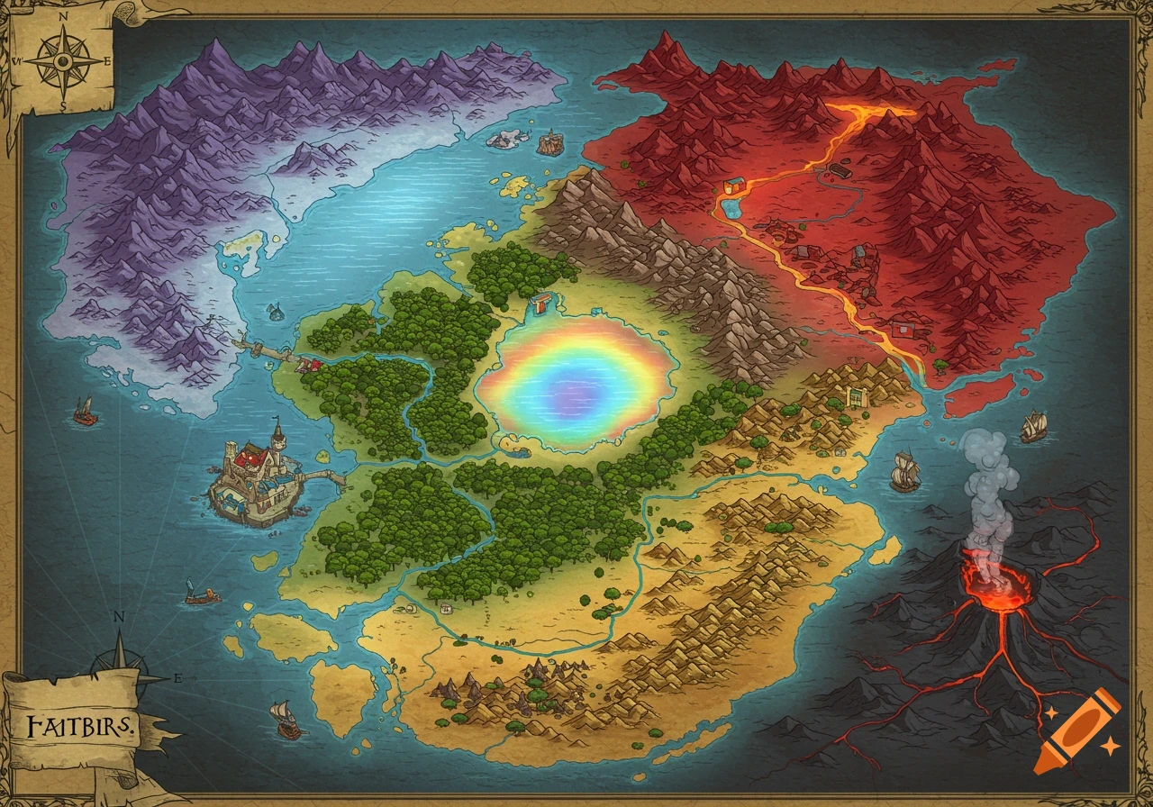
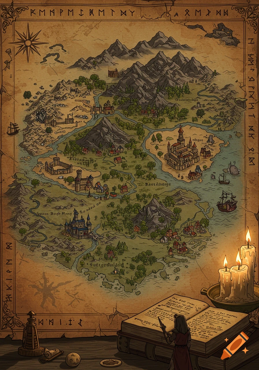
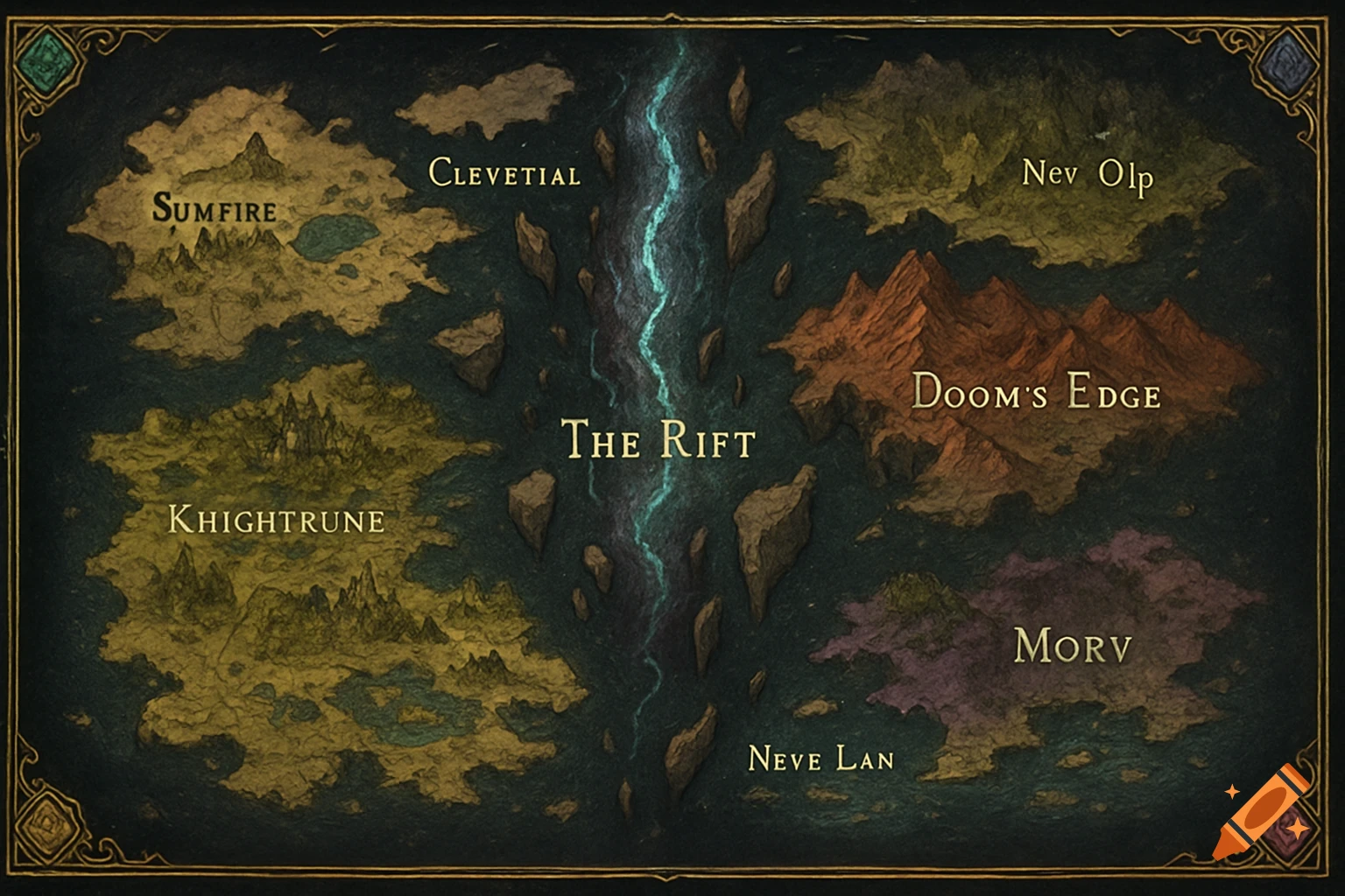
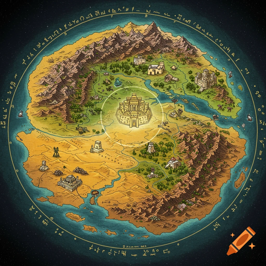
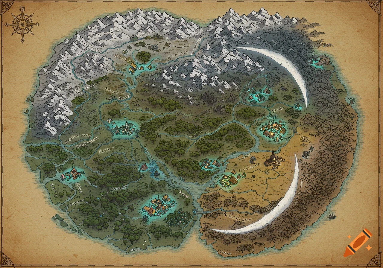
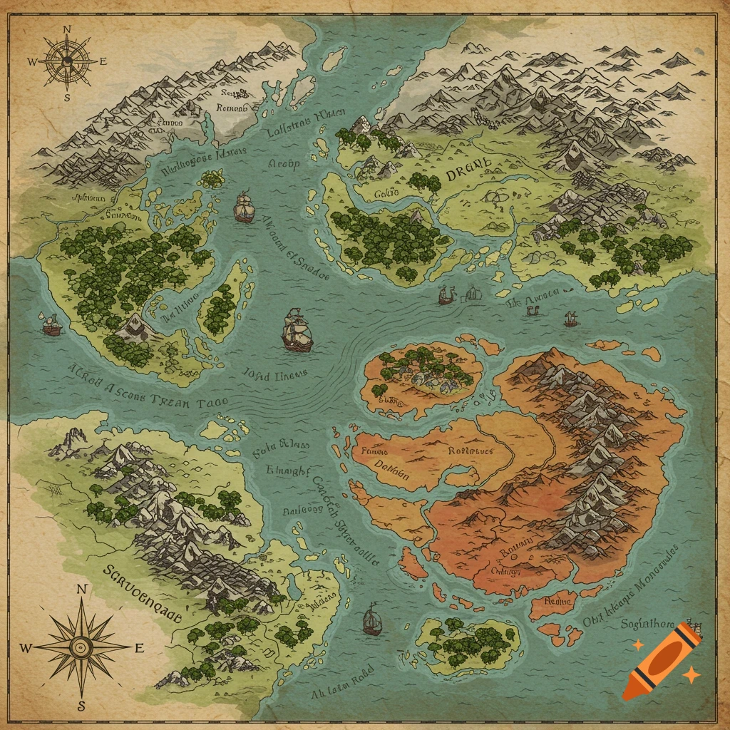
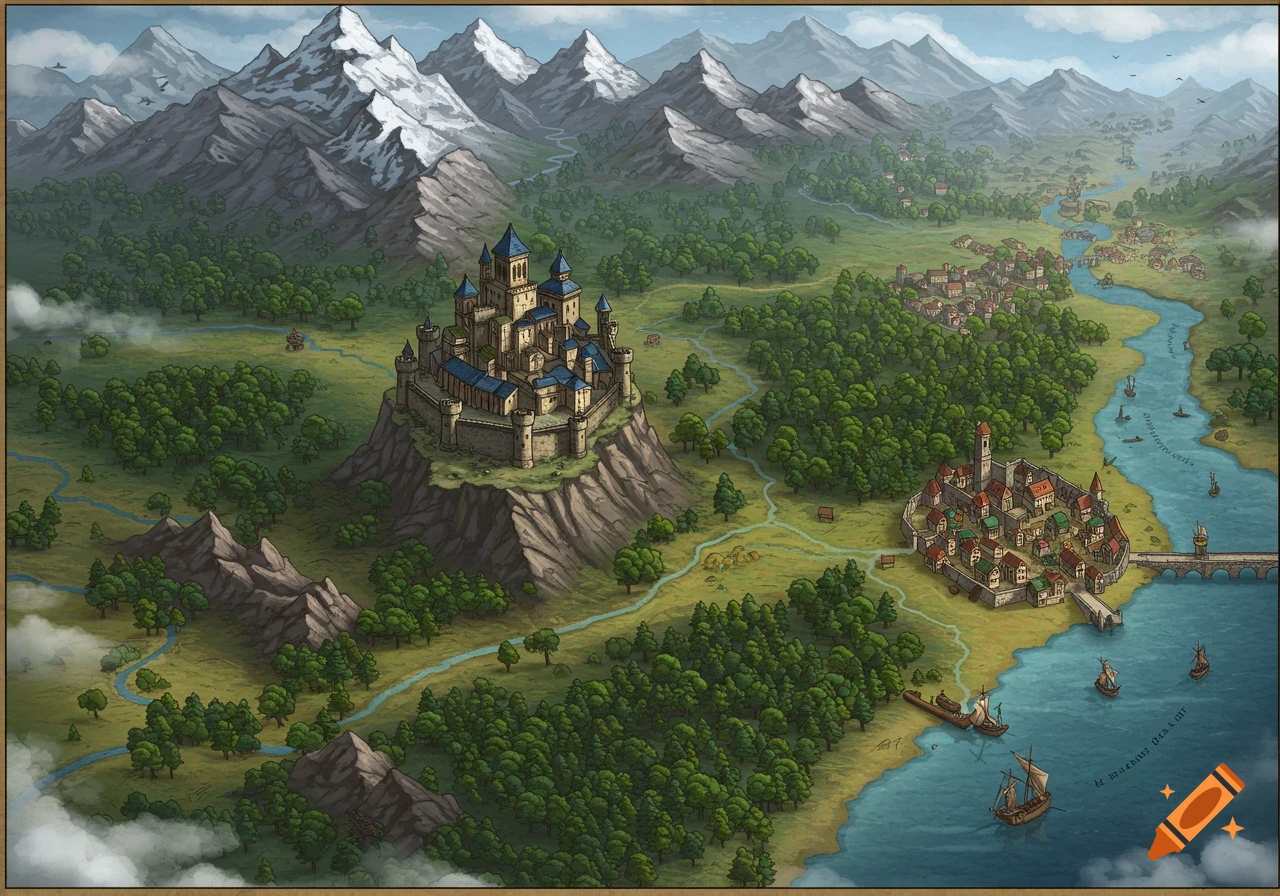
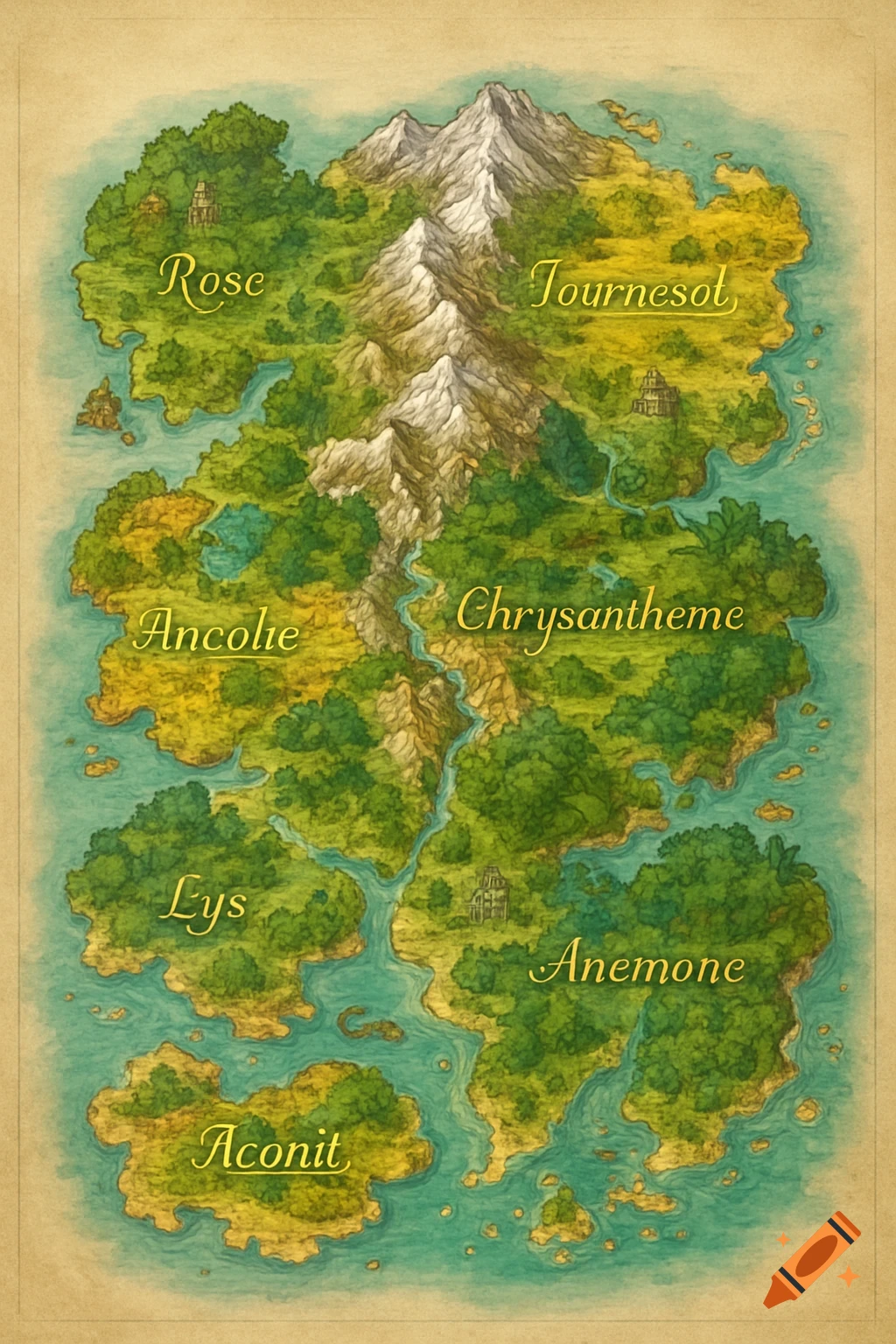
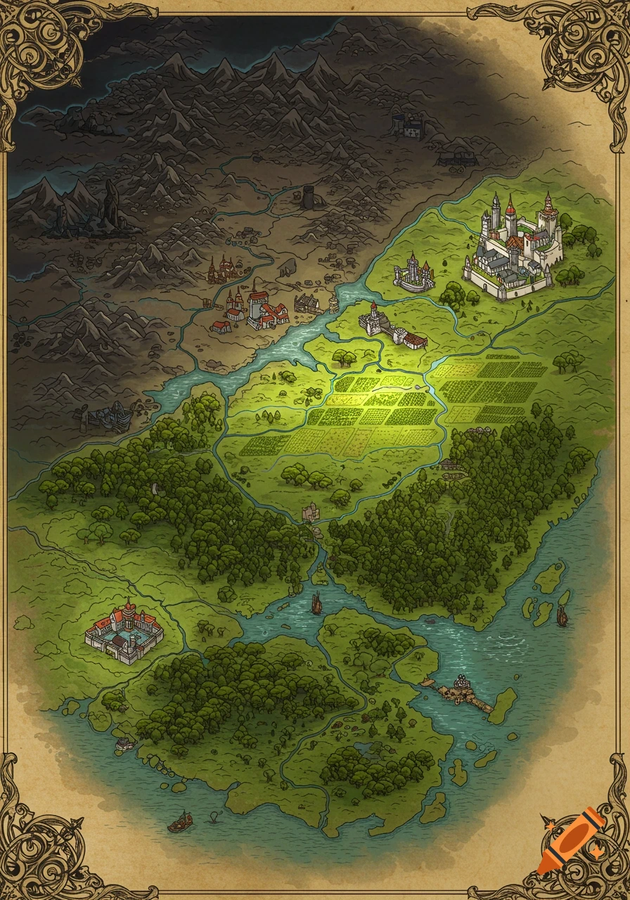
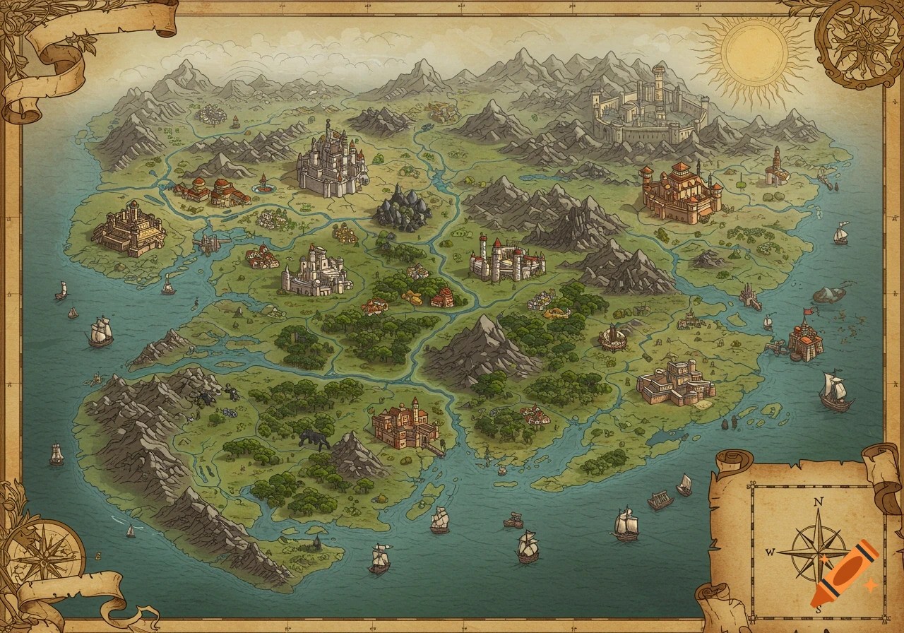
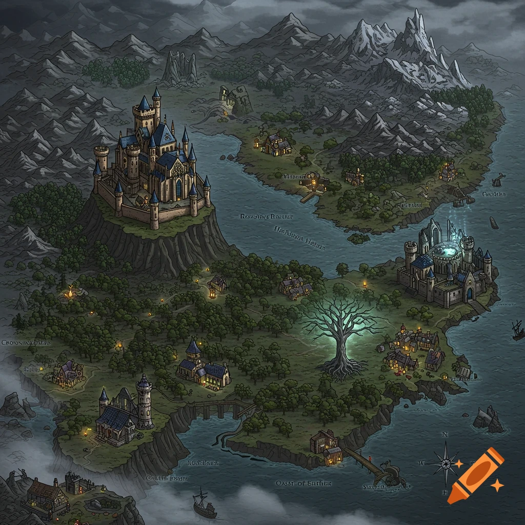
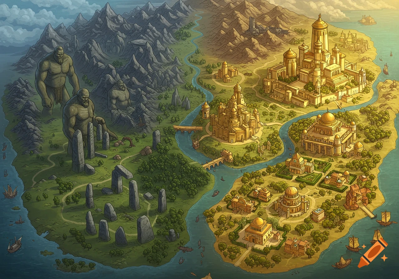
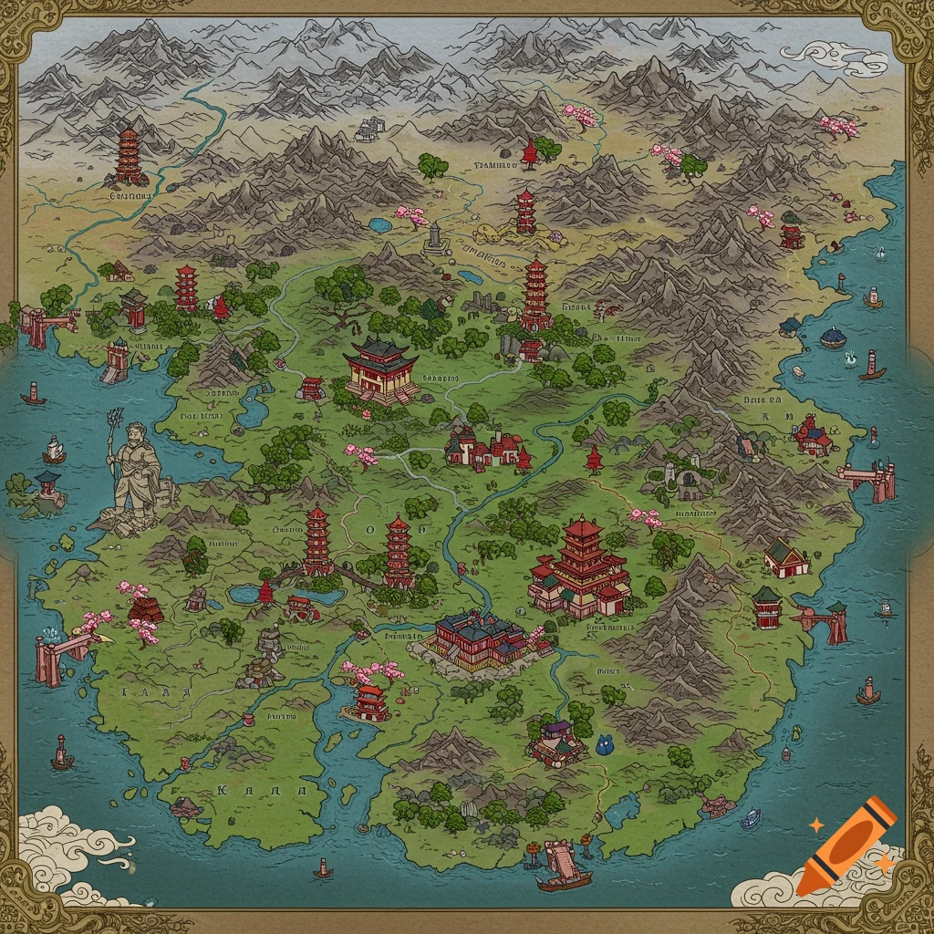
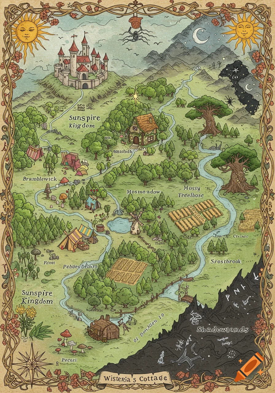
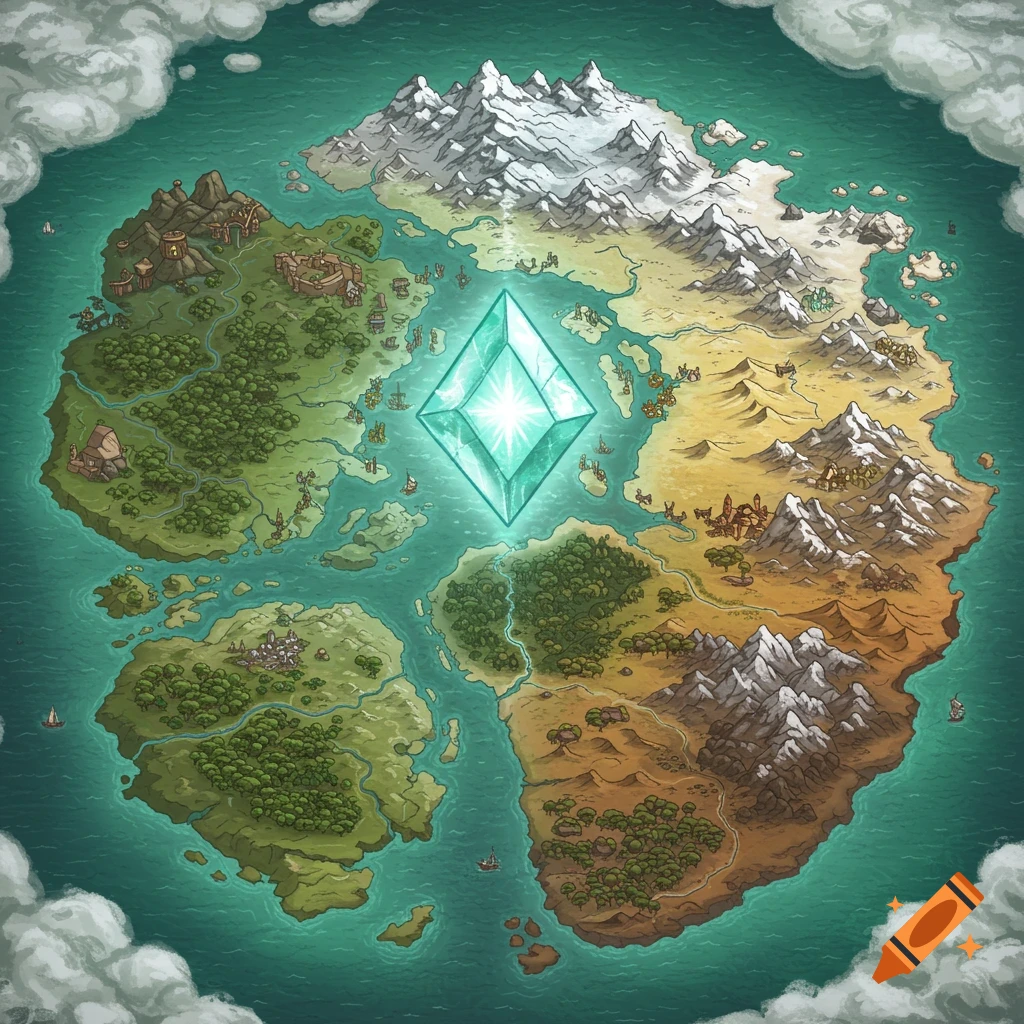
A fantasy map showing four different regions around a central area, with labels and varying terrains.
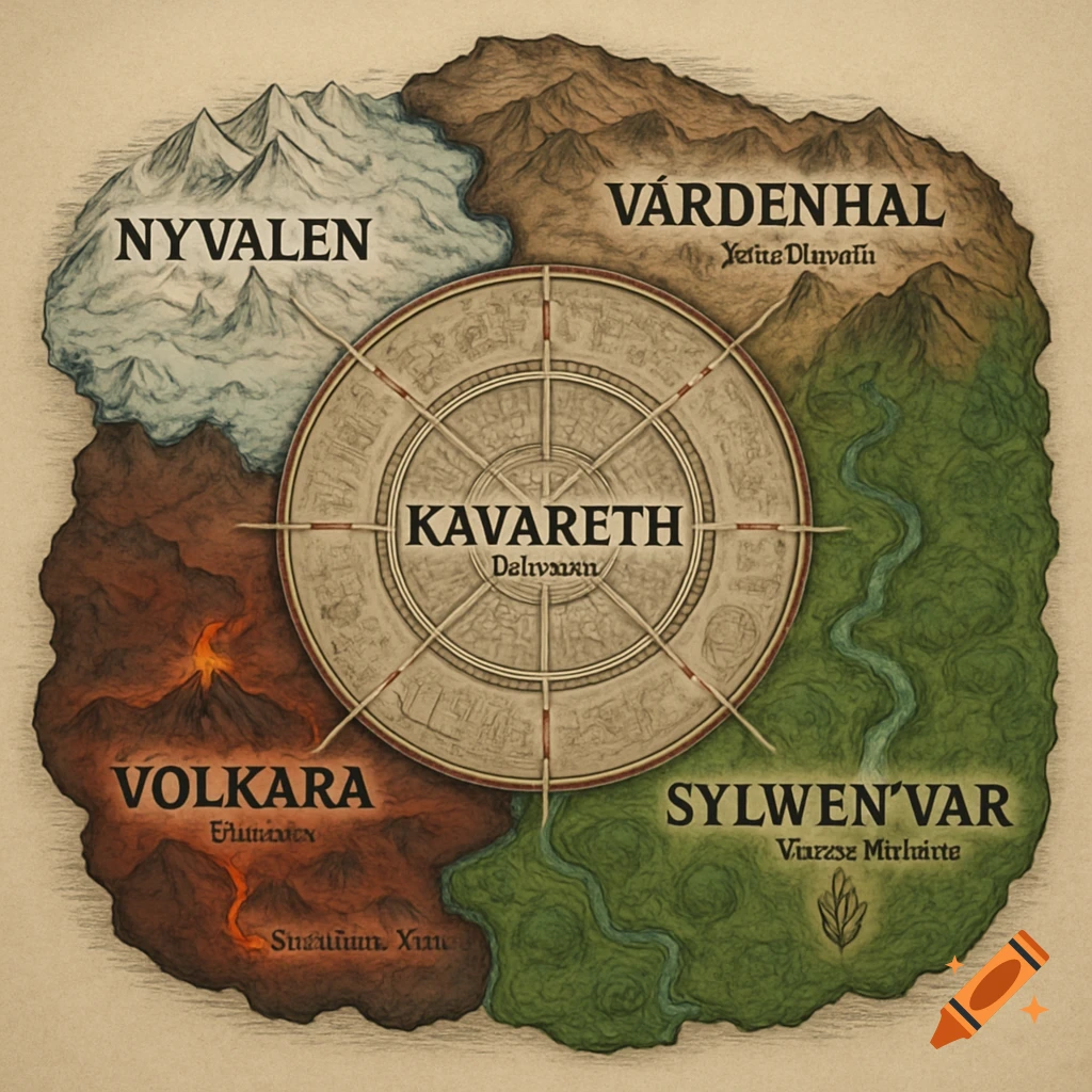
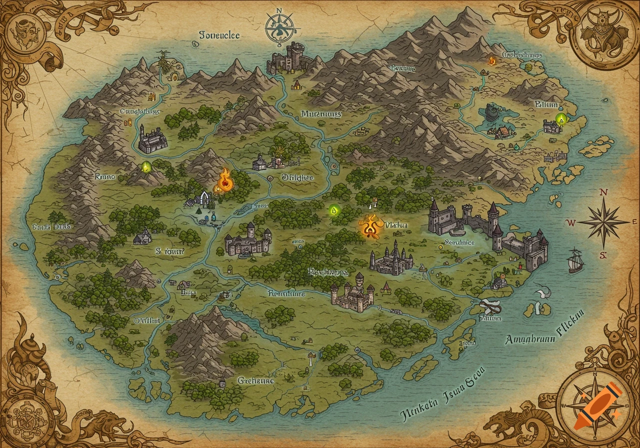
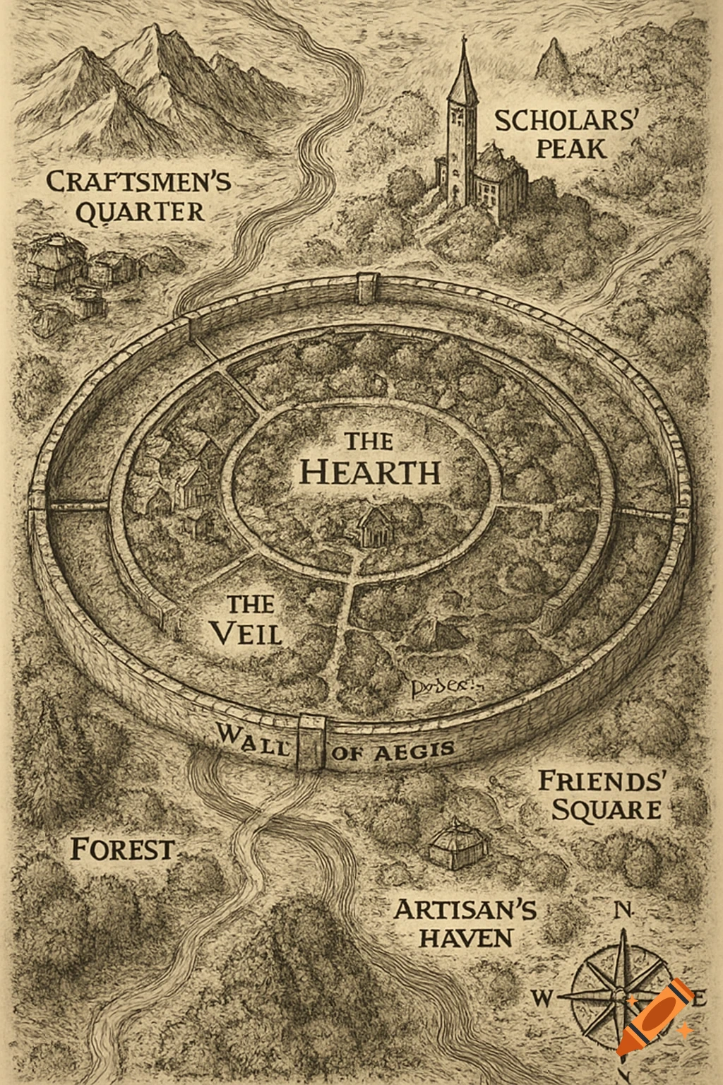
The map is shaped like a rough circle or star-like continent, with Kavareth — the Scales Nation — positioned in the exact center. The four other nations surround it, forming a natural compass layout: • Northwest: Nyvalen (Ice Nation) • Northeast: Vardenhal (Iron Fist Nation) • Southeast: Sylwen’var (Spirit/Root Nation) • Southwest: Volkara (Fire Nation) Each region has its own terrain, tone, and power, clearly distinguished on the map. ⸻ KAVARETH (Center – Scales Nation) • A massive, circular city-state, drawn with layers of walls and tiered buildings. • Surrounded by the Veilgate Wall, a thick red-dashed circle labeled clearly. • Radiating out are four dashed trade roads, like spokes of a wheel, reaching each outer nation. • Capital: Dravessa, marked with a black dot in the center. • Texture: neutral stone tones, faint glyphs of dragons or lizard motifs. ⸻ VOLKARA (Southwest – Fire Nation) • Harsh, jagged terrain drawn in dark red and obsidian tones. • Multiple small volcano icons along its ridges. • Capital: Embequar, nestled beside a glowing lava vent. • A marked road — Ashlands Trail — leads north toward Kavareth. • Smoke motifs rise from the land; the font here looks charred or etched. ⸻ SYLWEN’VAR (Southeast – Spirit Nation) • Dense forest drawn with thick green swirls and river paths. • Rivers snake through it: misty, winding, hard to navigate. • Capital: Lir’Shalwen, perched in the trees, drawn smaller to reflect its mobile nature. • A faint spirit symbol (leaf + See more