An illustrated vintage-style poster depicting the Monroe County Courthouse, portraits of historical figures, and maps of the USA and Mississippi.
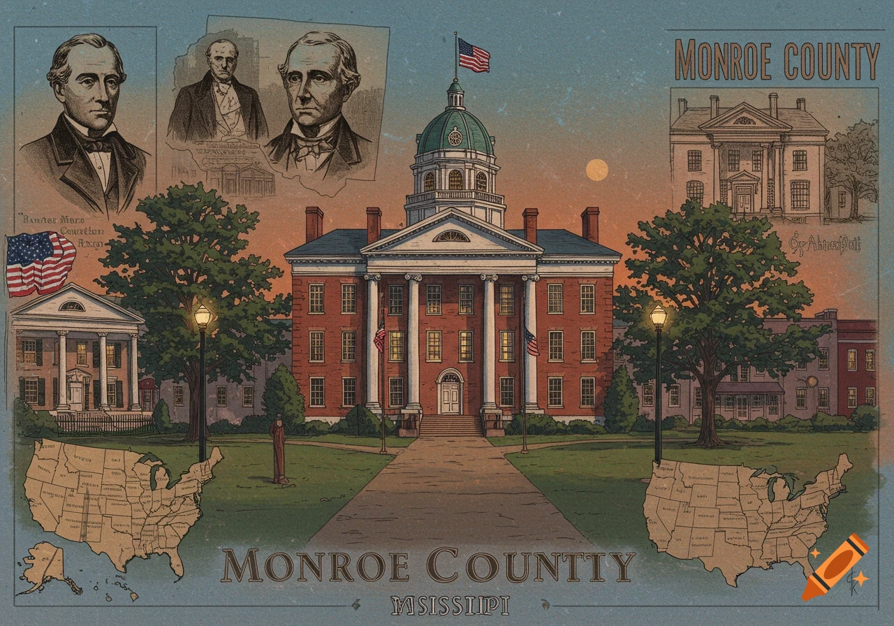
Monroe County is a county on the northeast border of the U.S. state of Mississippi next to Alabama. As of the 2020 census, the population was 34,180.[1] Its county seat is Aberdeen.[2] Monroe County County Monroe County Courthouse in Aberdeen Monroe County Courthouse in Aberdeen Map of Mississippi highlighting Monroe County Location within the U.S. state of Mississippi Map of the United States highlighting Mississippi Mississippi's location within the U.S. Coordinates: 33°53′N 88°29′W Country United States State Mississippi Founded 1821 Named after James Monroe Seat Aberdeen Largest city Amory Area • Total 772 sq mi (2,000 km2) • Land 765 sq mi (1,980 km2) • Water 7.0 sq mi (18 km2) 0.9% Population (2020) • Total 34,180 • Estimate (2023) 33,609 Decrease • Density 44/sq mi (17/km2) Time zone UTC−6 (Central) • Summer (DST) UTC−5 (CDT) Congressional district 1st Website www.monroems.com Contents History edit The U.S. Courthouse and Post Office (now the Monroe County Chancery Building) in Aberdeen. The county is named in honor of James Monroe, the fifth President of the United States.[3] Part of the county east of the Tombigbee River originally made-up part of the Alabama Territory, belonging to Marion County, until new lines of demarcation put it in the State of Mississippi in 1821.[4] In 1889, an African-American man, Keith Bowen was lynched by a mob in the Lebanon community six miles south of Aberdeen after he was found in a white girl's bedroom at 3:00 AM."[5] In 1922, See more