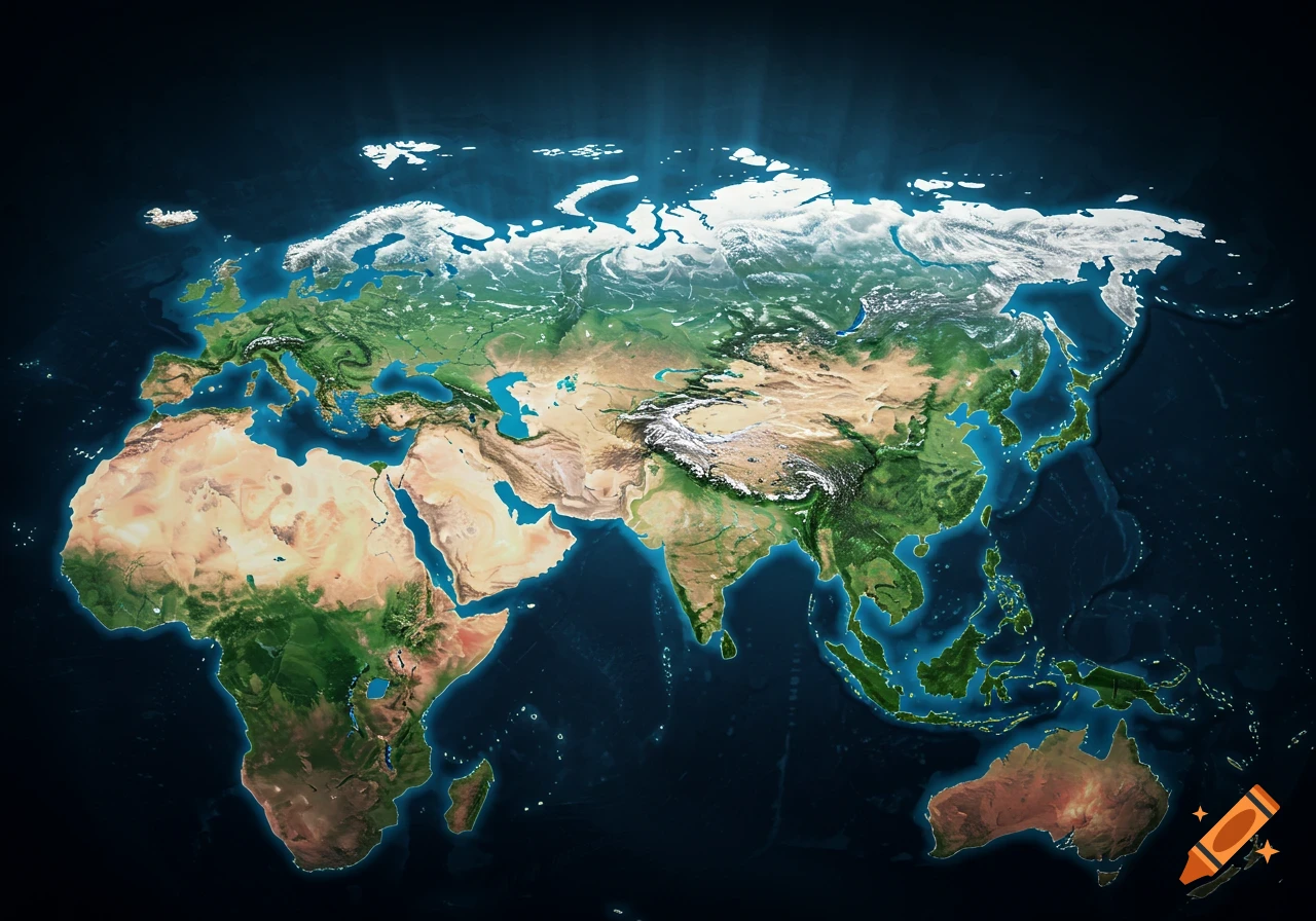
A stylized map of the Earth showing continents with grey coastlines and red tectonic fault lines.
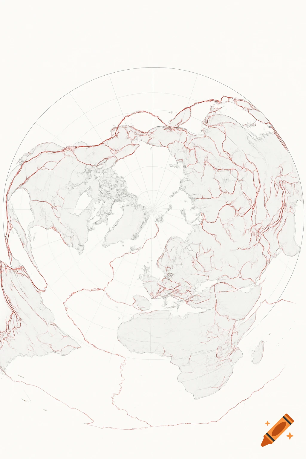
GIS environment. Use real projection math for Gleason (azimuthal equidistant, centered on North Pole). Overlay actual USGS and GEM global fault lines (not AI-estimated linework). Export as a true 8x10 inch PNG, clean lines, light background, fine grey coastlines, semi-transparent red fault lines, no labels. See more