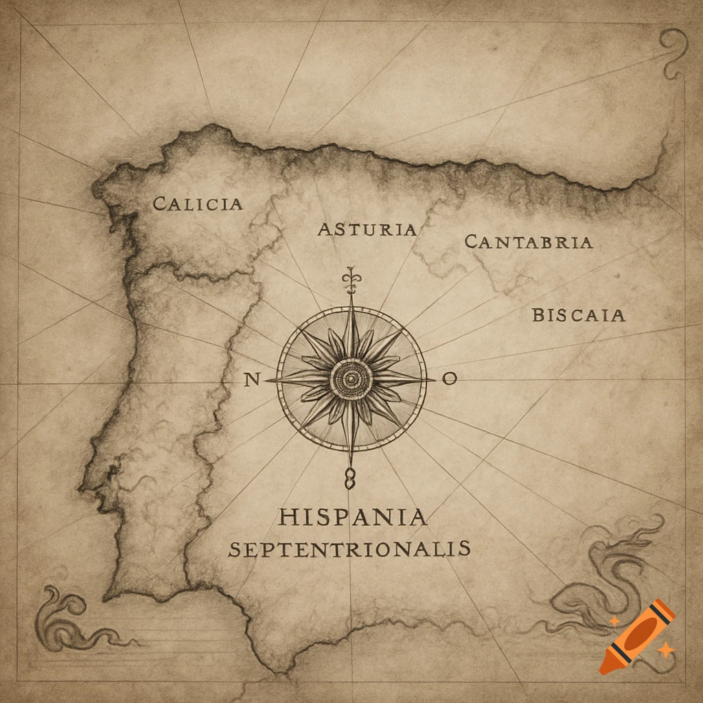
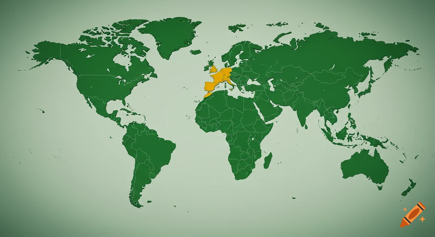
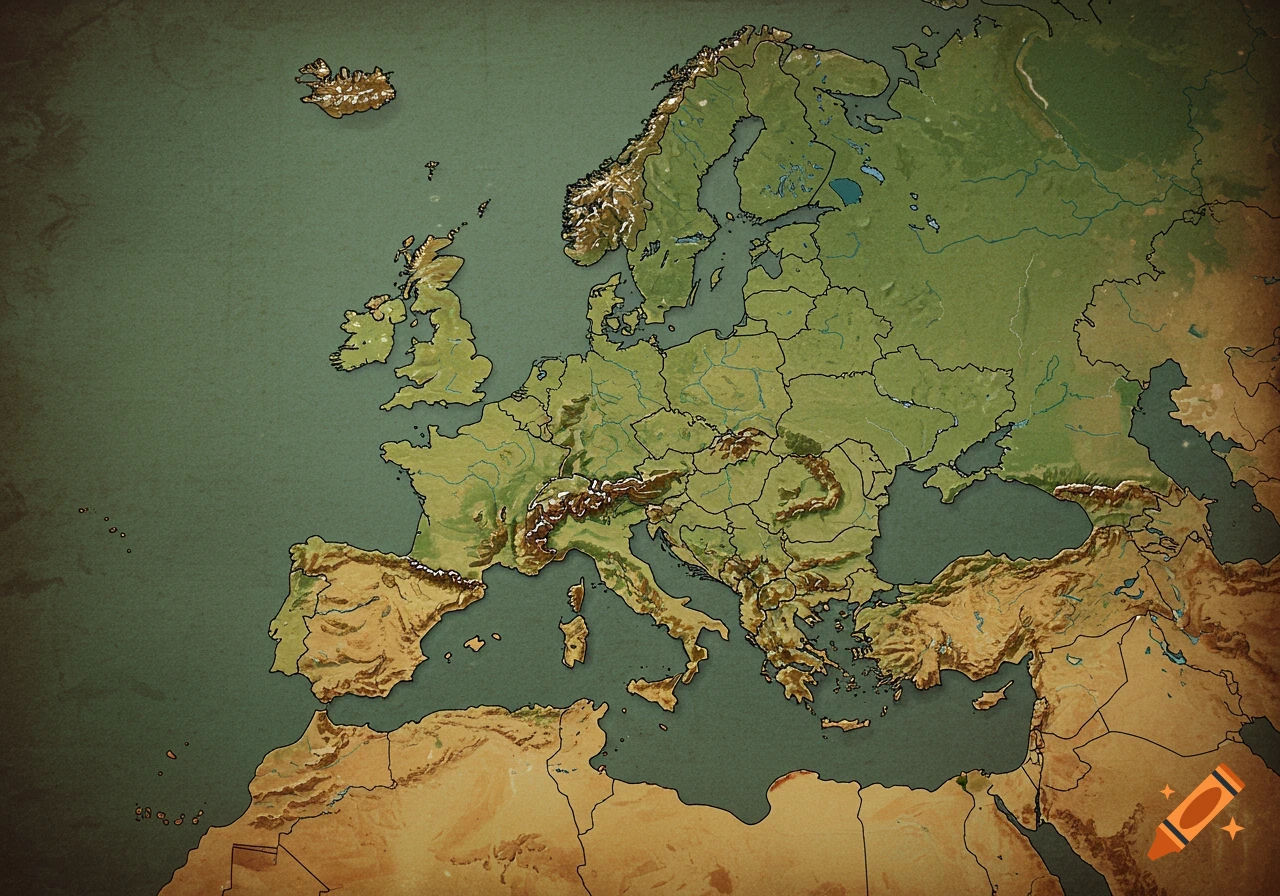
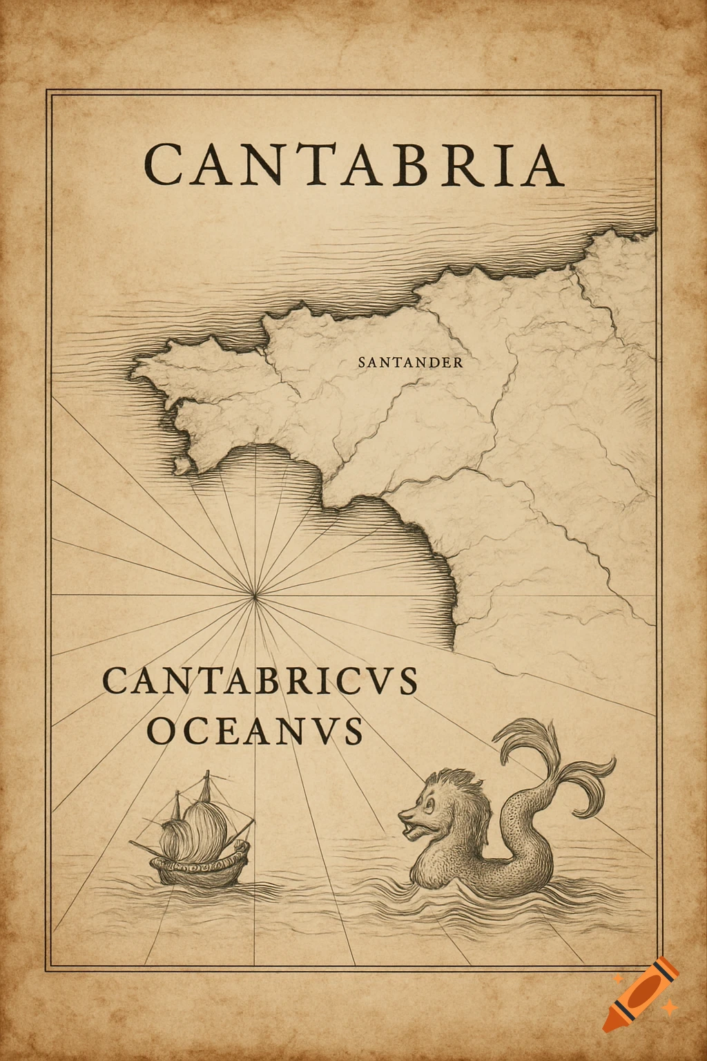
Physical map of the Iberian Peninsula showing the Cantabrian, Atlantic, and Mediterranean hydrographic basins, with labeled rivers such as Duero, Ebro, Tajo, and Guadalquivir.
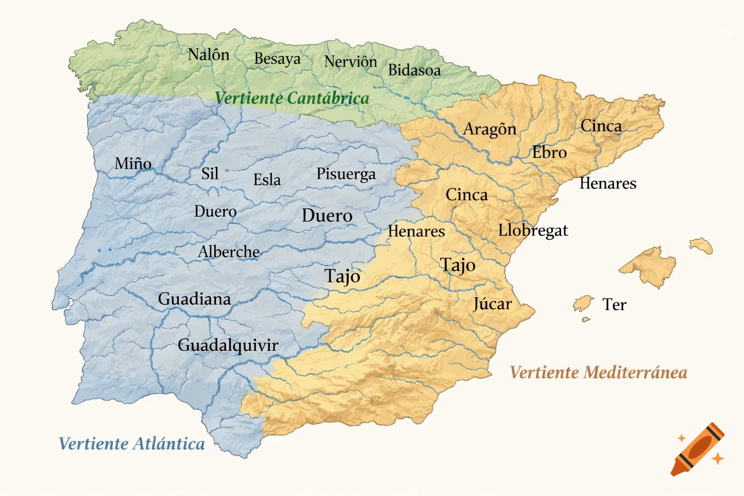
Mapa físico de España, estilo atlas escolar. Mostrar claramente las tres vertientes hidrográficas diferenciadas por colores suaves: Vertiente Cantábrica Vertiente Atlántica Vertiente Mediterránea Dibujar y etiquetar con texto legible en español los siguientes ríos: Nalón, Besaya, Nervión, Bidasoa, Aragón, Cinca, Llobregat, Ter, Ebro, Turia, Júcar, Miño, Sil, Esla, Pisuerga, Duero, Alberche, Jarama, Henares, Tajo, Guadiana y Guadalquivir. Fondo claro, líneas limpias, colores suaves, sin elementos decorativos, mapa educativo y claro, alta resolución. See more