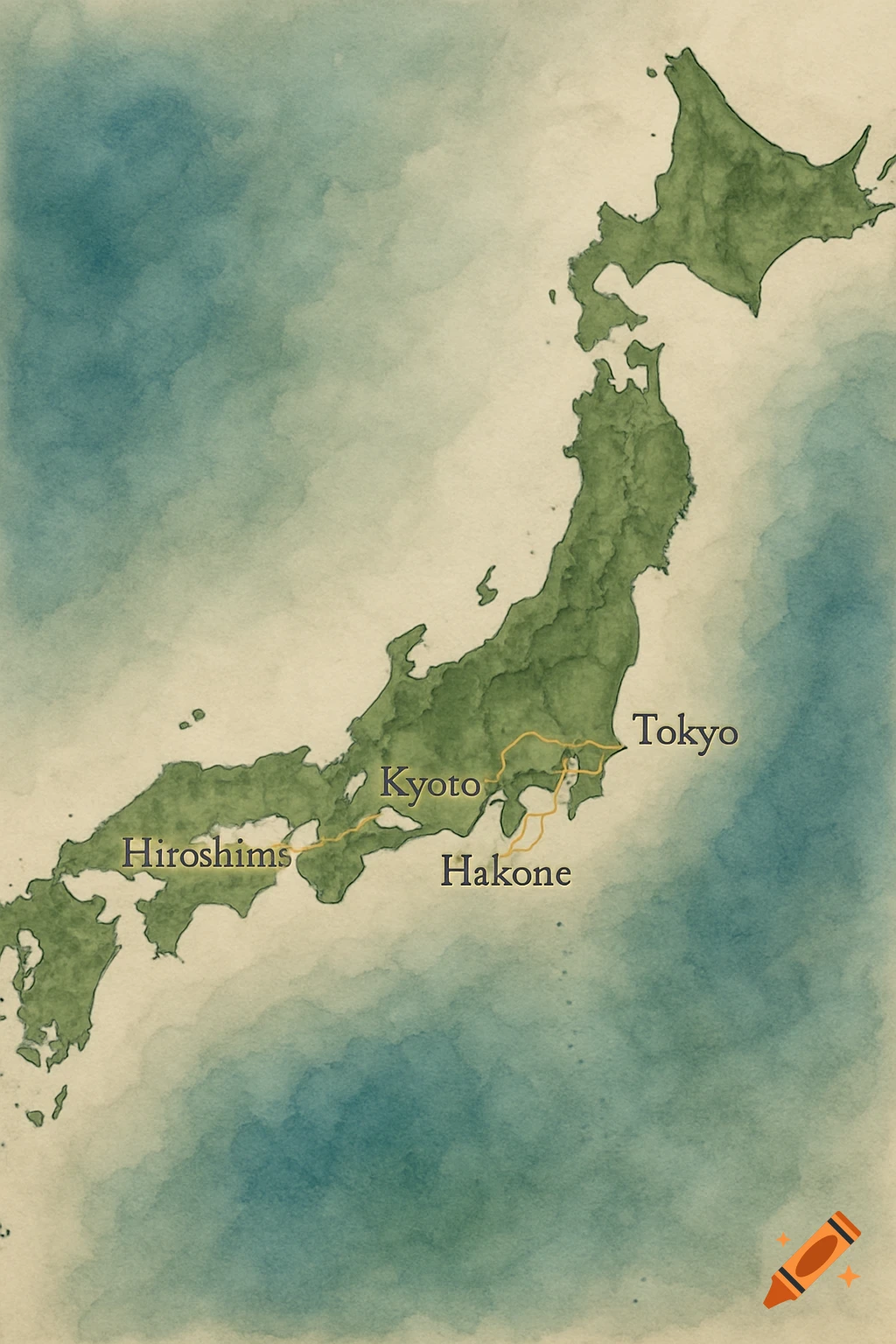
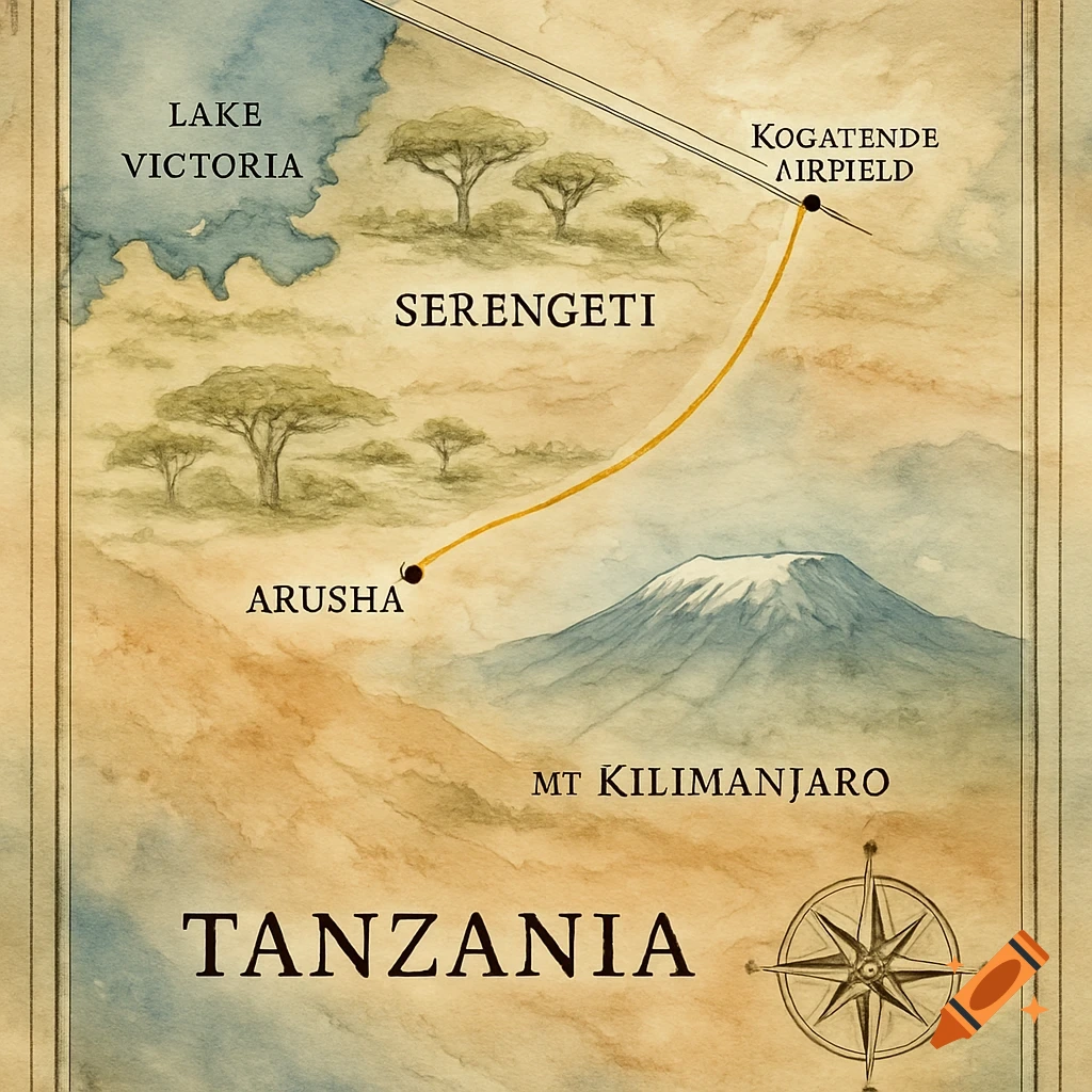
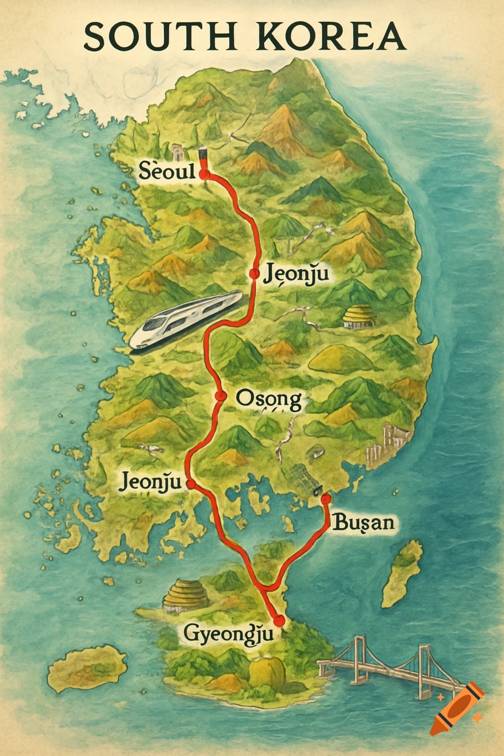
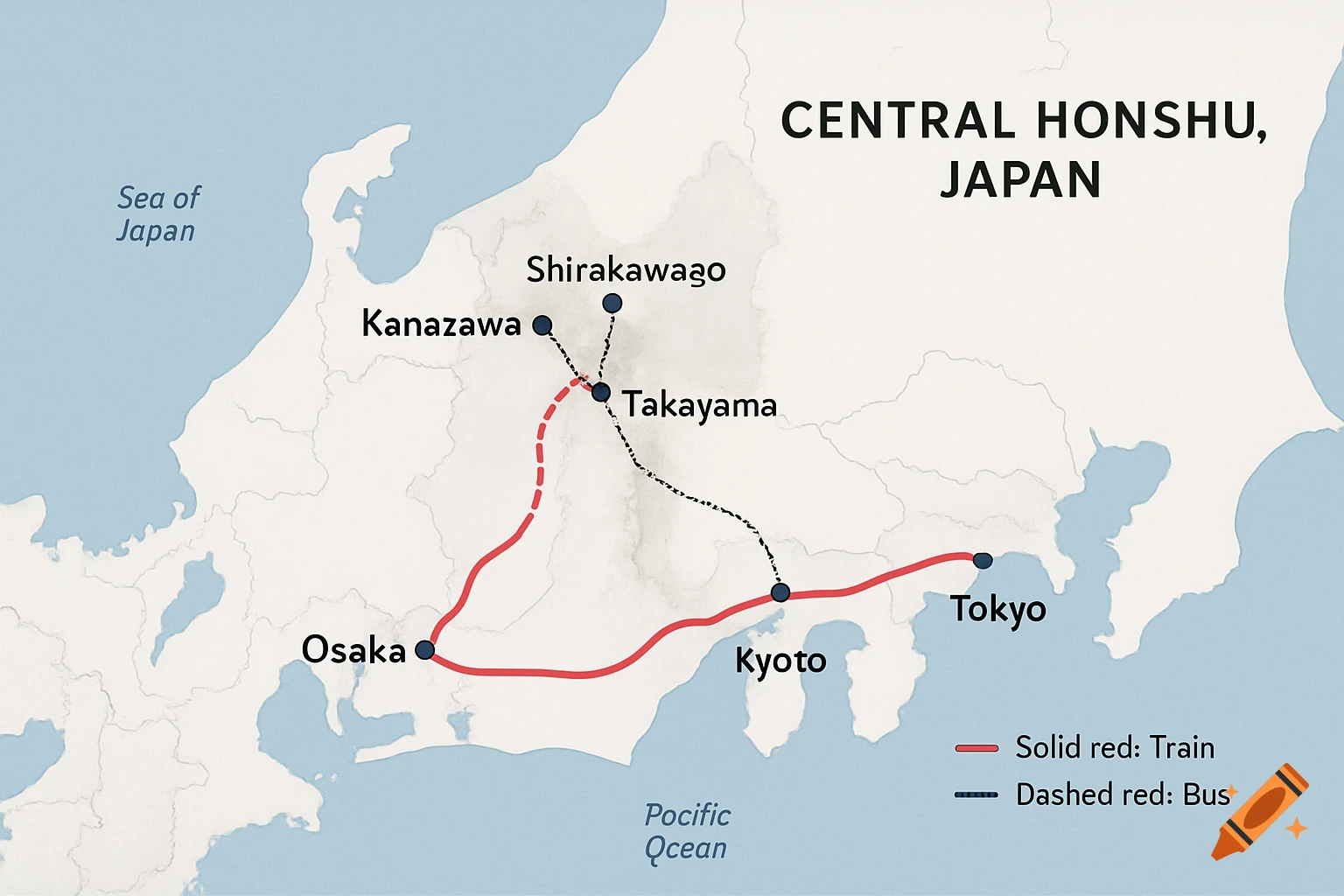
A map of Central Honshu, Japan, showing cities like Osaka, Kyoto, Tokyo, Kanazawa, Shirakawago, and Takayama, connected by red solid lines for train and black dashed lines for bus routes.
Create a highly detailed, geographically accurate map of central Honshu, Japan, using real-world positions from Google Maps: place Osaka at approx. 34.7°N 135.5°E (south-central coast near Seto Inland Sea), Kyoto just northeast at 35.0°N 135.7°E (inland), Kanazawa on the Sea of Japan coast at 36.6°N 136.6°E (northwest), Shirakawago inland in the mountains southeast of Kanazawa at 36.3°N 136.9°E, Takayama further south in Gifu Prefecture at 36.0°N 137.3°E, and Tokyo far east on the Pacific coast at 35.7°N 139.7°E. Draw a single bold, continuous red line (5px thick) connecting them exactly in this order: Osaka → Kyoto → Kanazawa → Shirakawago → Takayama → Tokyo, following plausible train/bus paths—solid red for train segments (Osaka-Kyoto-Kanazawa and Takayama-Tokyo), dashed red for bus segments (Kanazawa-Shirakawago-Takayama). Use a clean presentation style: white background, light gray landmass outline with pale blue Sea of Japan and Pacific Ocean, subtle topography shading for mountains around Shirakawago/Takayama, small black dots and clear sans-serif labels for each city (e.g., "Osaka"), add a small legend bottom-right: "Solid red: Train | Dashed red: Bus". 16:9 landscape aspect ratio, high resolution, minimalist and professional for a slideshow—no extra text, icons, or clutter. See more