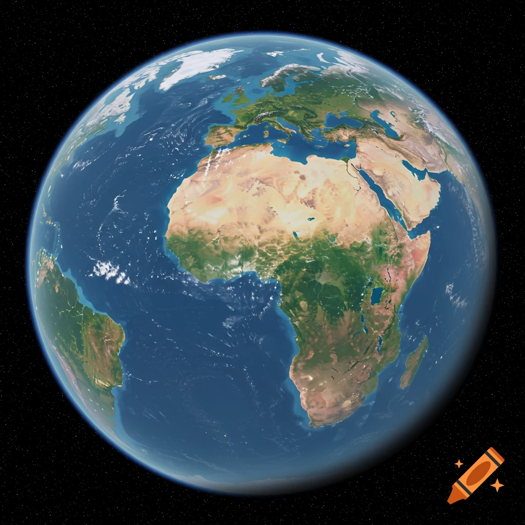
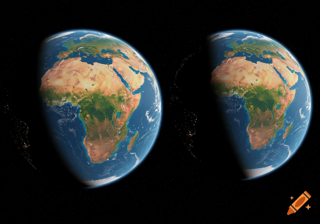
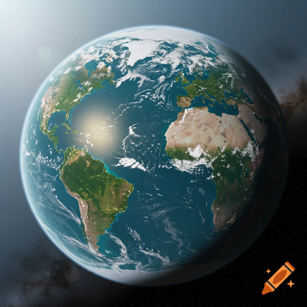
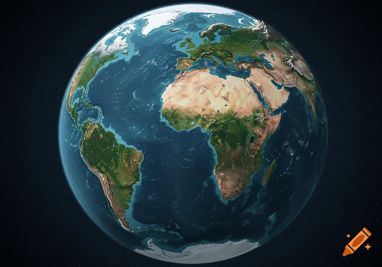
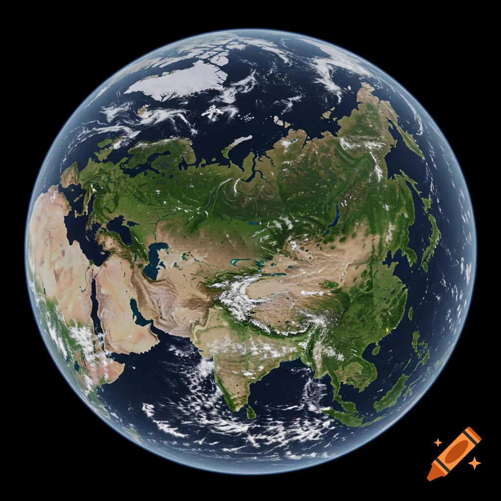
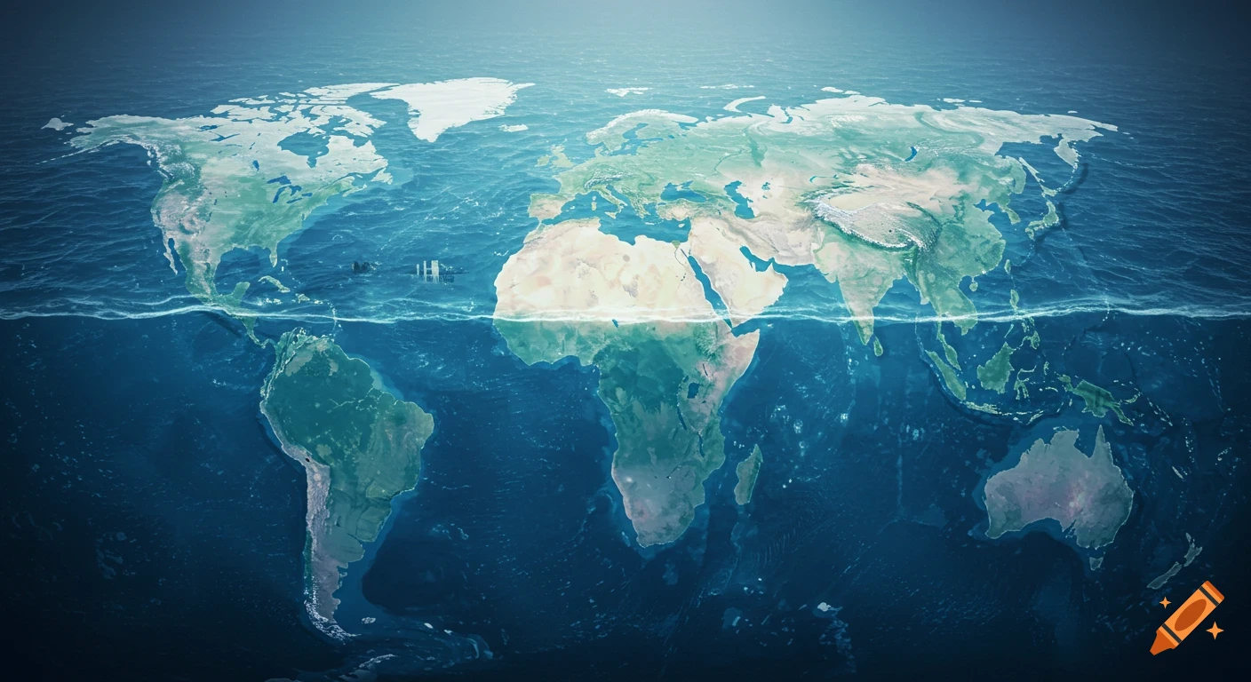
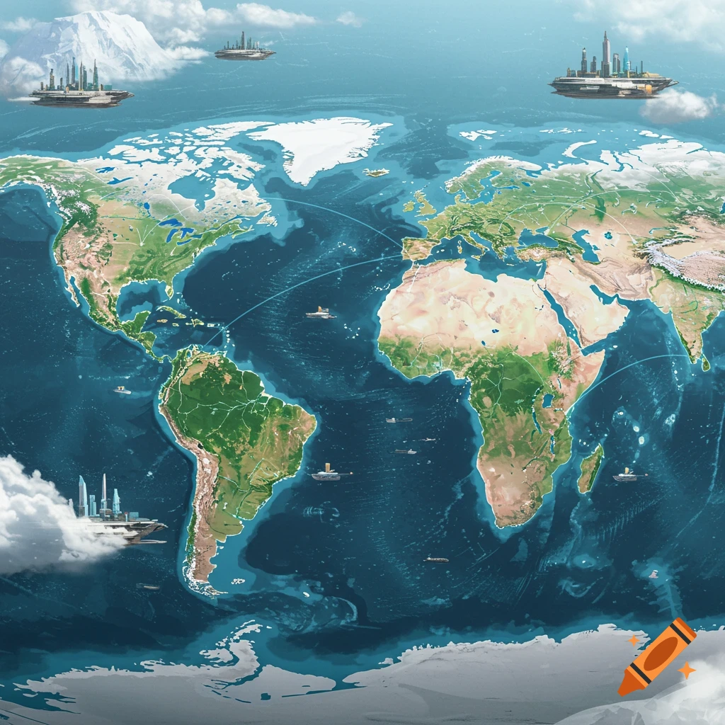
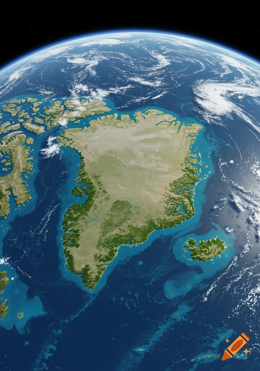
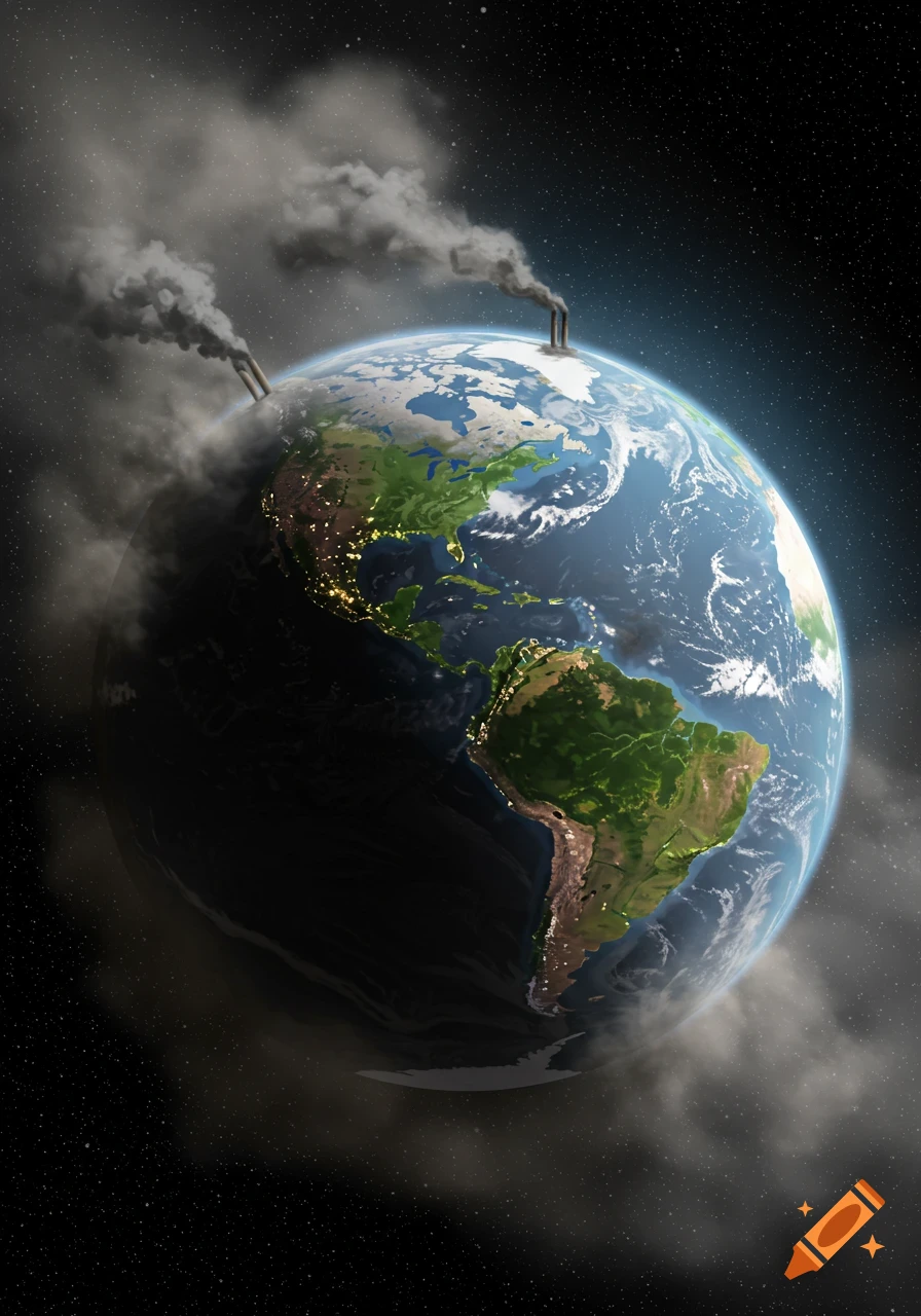
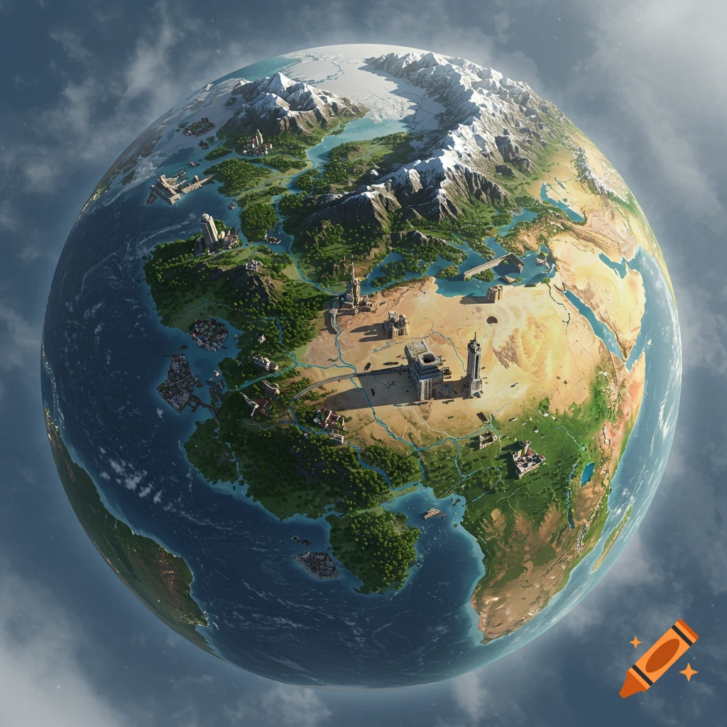
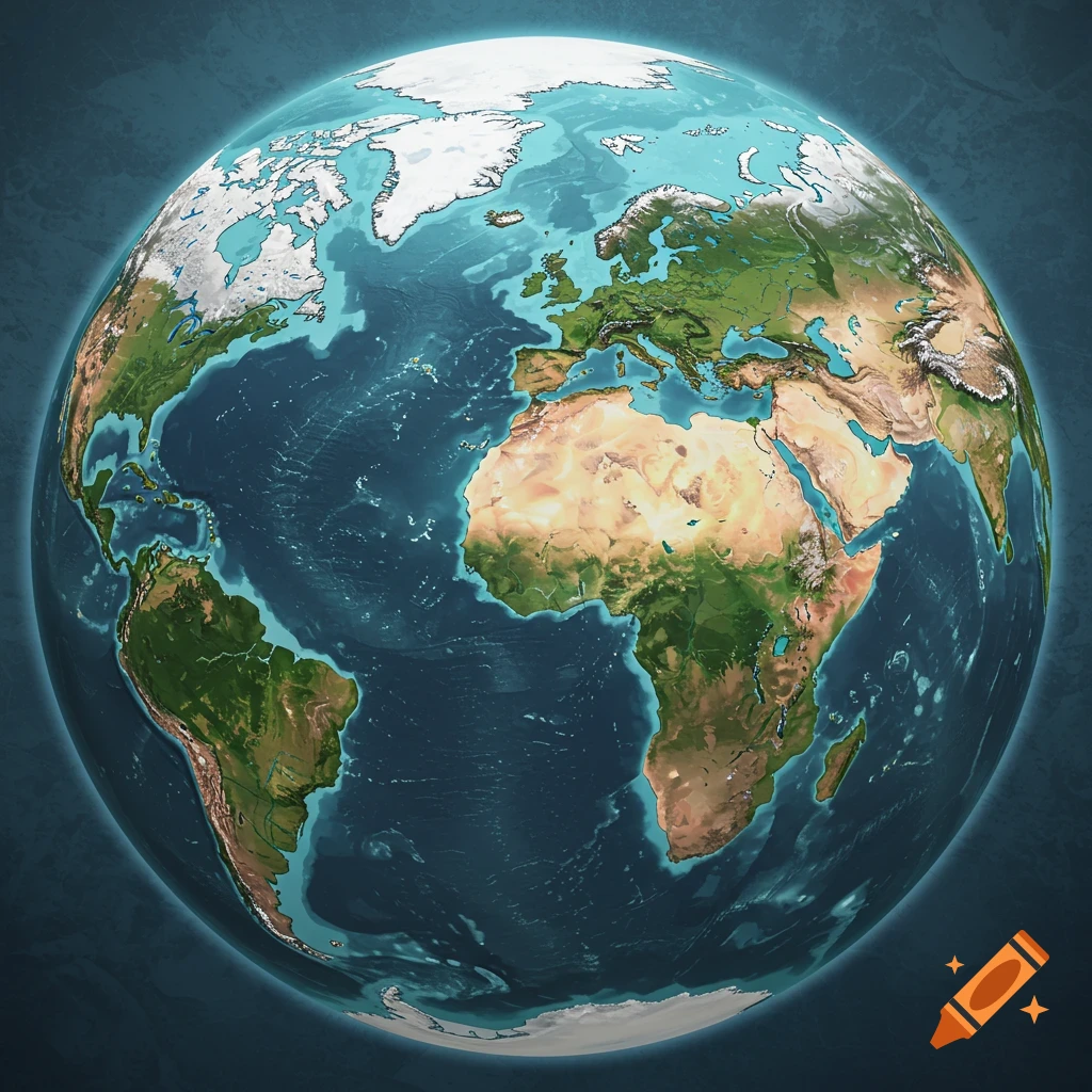
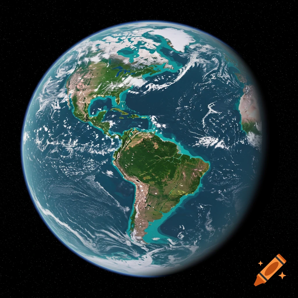
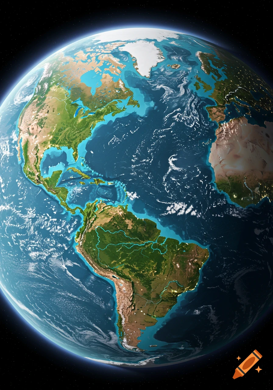
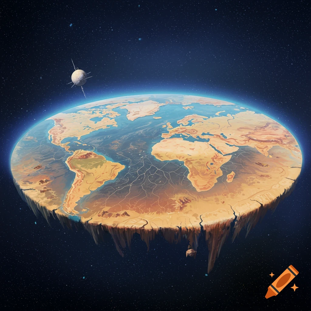
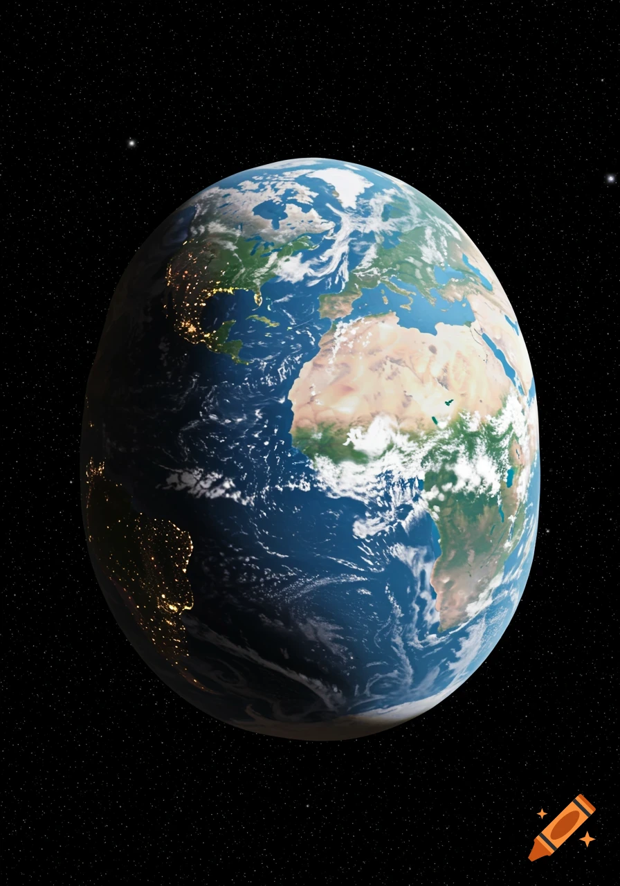
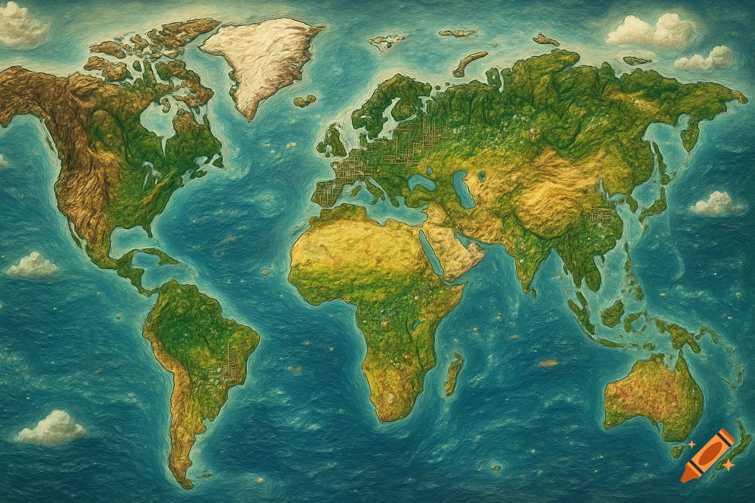
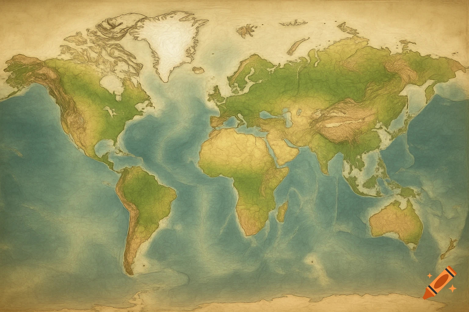
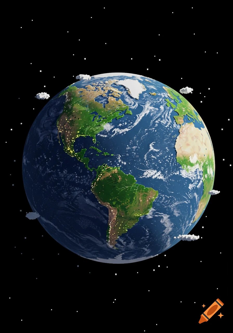
Raised-relief map showing continents and oceans from a global perspective.
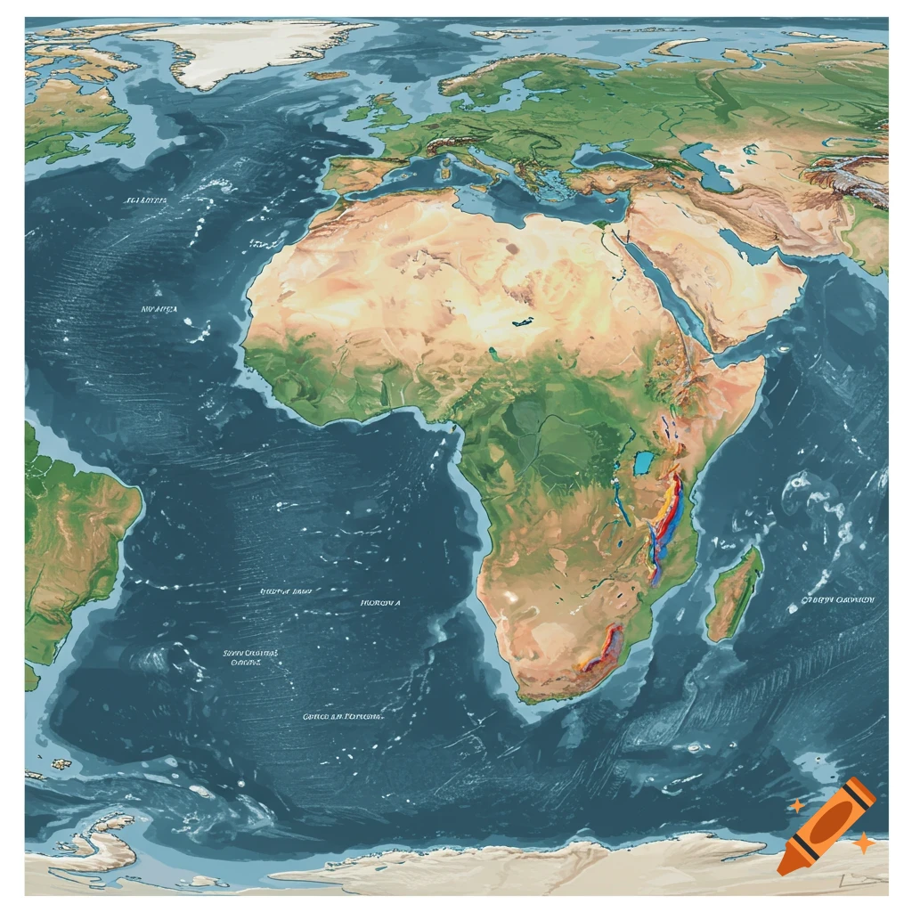
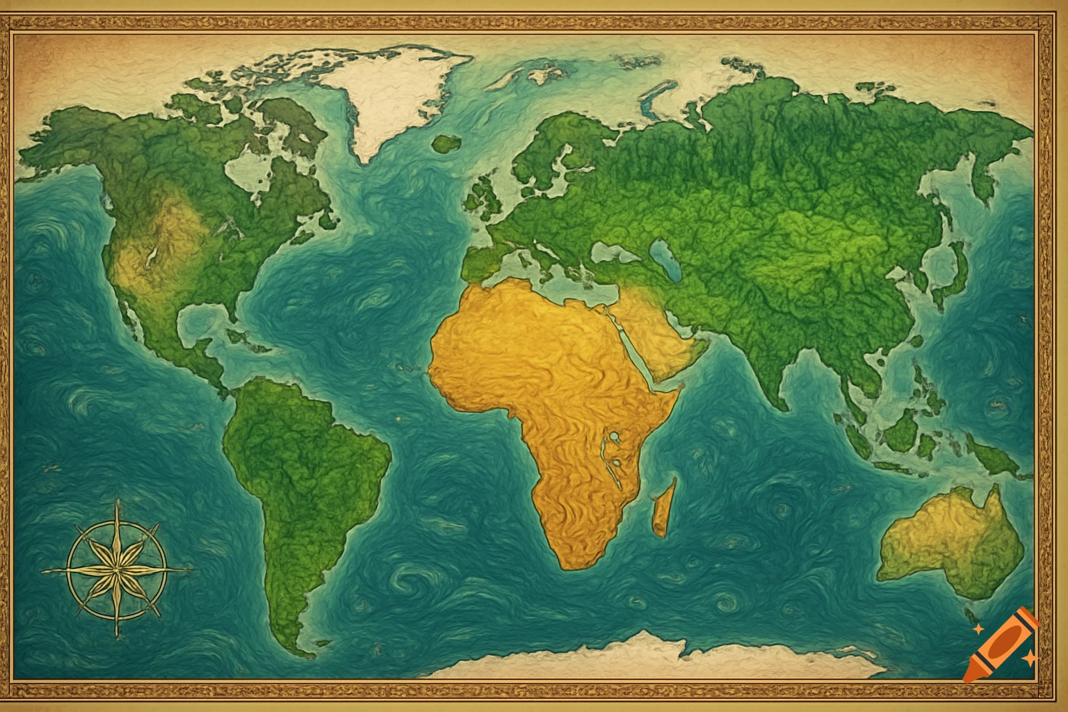
Generate a mock map of pangea of only Africa, USA, South America & euro-Asia by strictly following this: 🎯 GOAL: 1. The Atlas Mountains (North Africa’s "Flatiron" range) to the Serranía de Hornocal (rainbow-colored mountain range in Jujuy Province, northwest Argentina) 2. The Grand Canyon (Arizona, USA) to the Charyn Canyon (southeast Kazakhstan) --- 🌍 KEY LOCATIONS AT A GLANCE: Feature Modern Location Latitude Relative Position Atlas Mountains Morocco/Algeria/Tunisia ~30–35° N NW Africa Serranía de Hornocal Jujuy, NW Argentina ~23° S Andes, South America Grand Canyon Arizona, USA ~36° N SW USA Charyn Canyon SE Kazakhstan ~43° N Central Asia --- 🧩 THE MOST COHESIVE HYPOTHETICAL LAYOUT (Updated): We’re now engineering a tectonic origami move that gets Atlas Mountains and Hornocal to hug, while curling the Grand Canyon into a kiss with Charyn Canyon. Here’s the master plan: --- 🔁 STEP 1: Keep Africa in Normal Orientation, Shift Southwest No flip. Keep Africa upright. Rotate Africa ~45° counterclockwise so its northwest corner (Atlas Mountains) sweeps down toward northwest Argentina. Move the entire African continent westward across the Atlantic, letting Morocco/Algeria slot into Jujuy Province like a mountainous tectonic puzzle. > ✔️ Atlas Mountains now meet the Serranía de Hornocal in northwest Argentina. This creates a stunning super-range of crumpled rainbow-folded geology where desert meets Andes. --- 🔁 STEP 2: Reposition Eurasia with Arctic Wraparound Rotate Eurasia See more