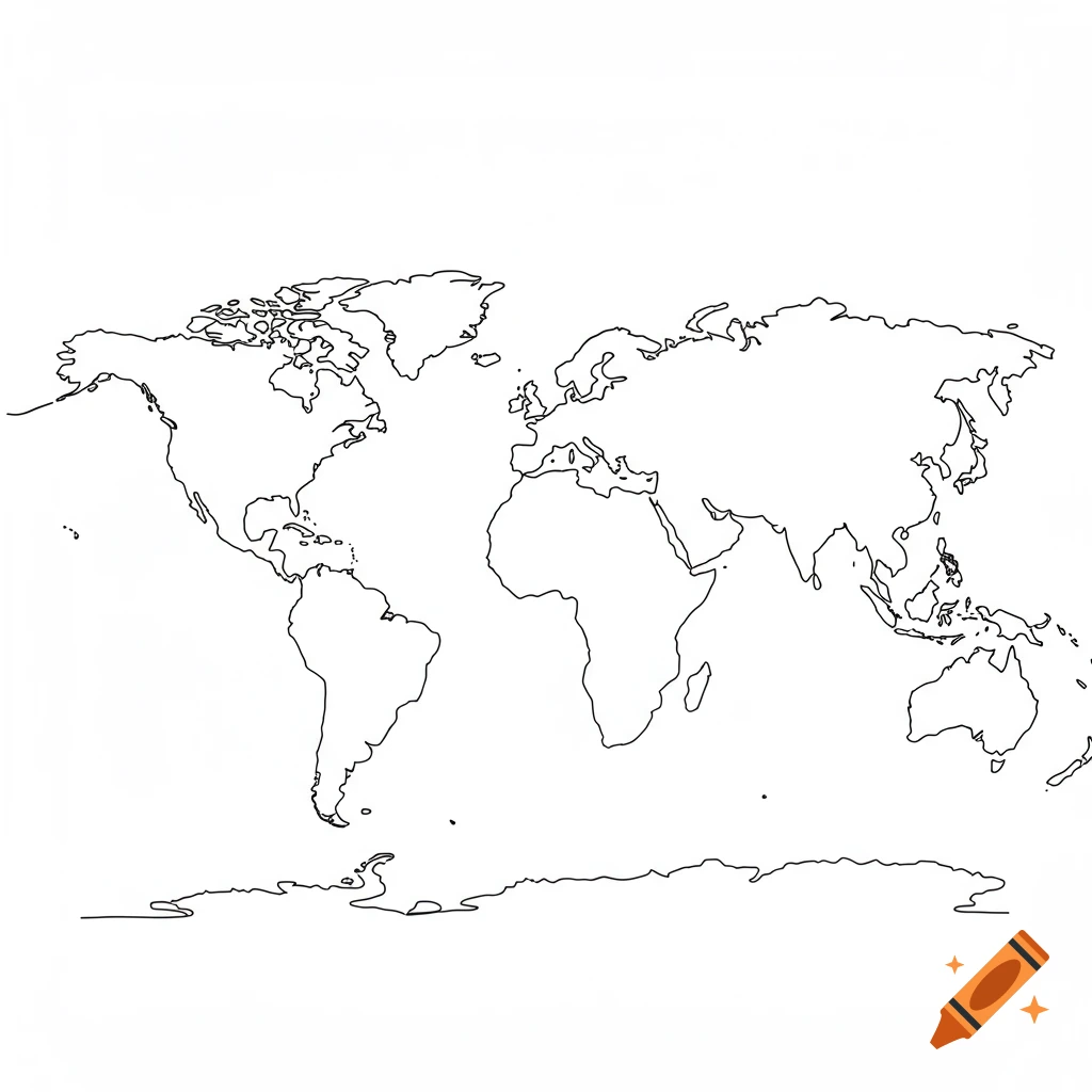
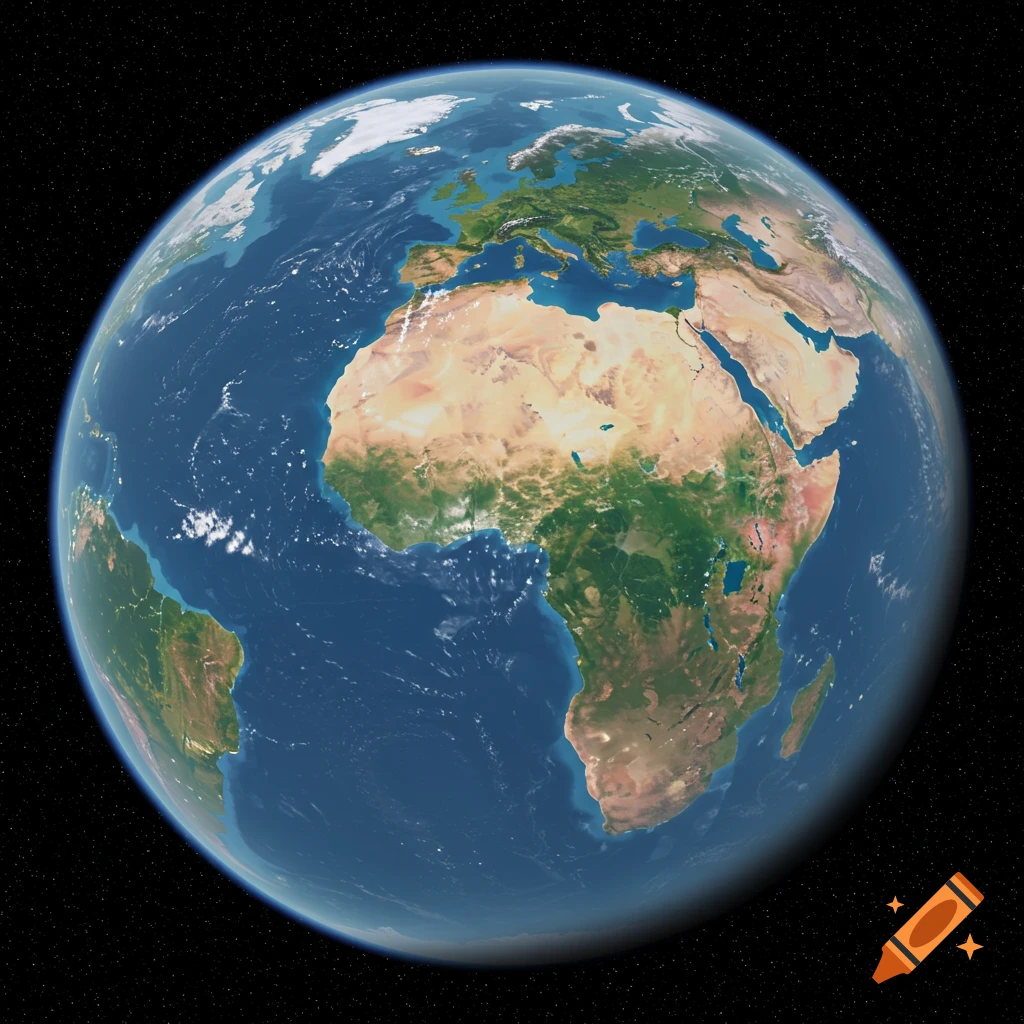
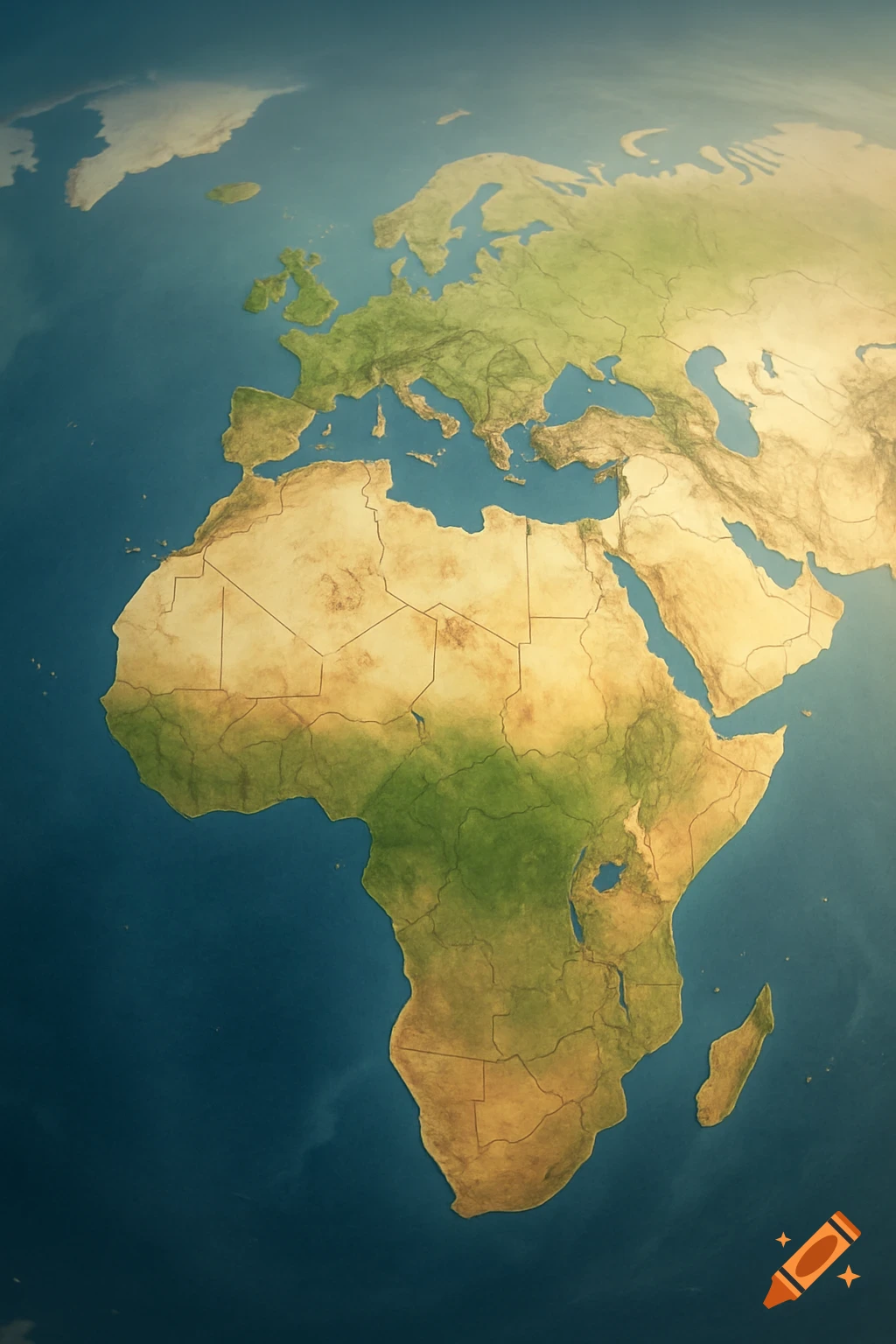
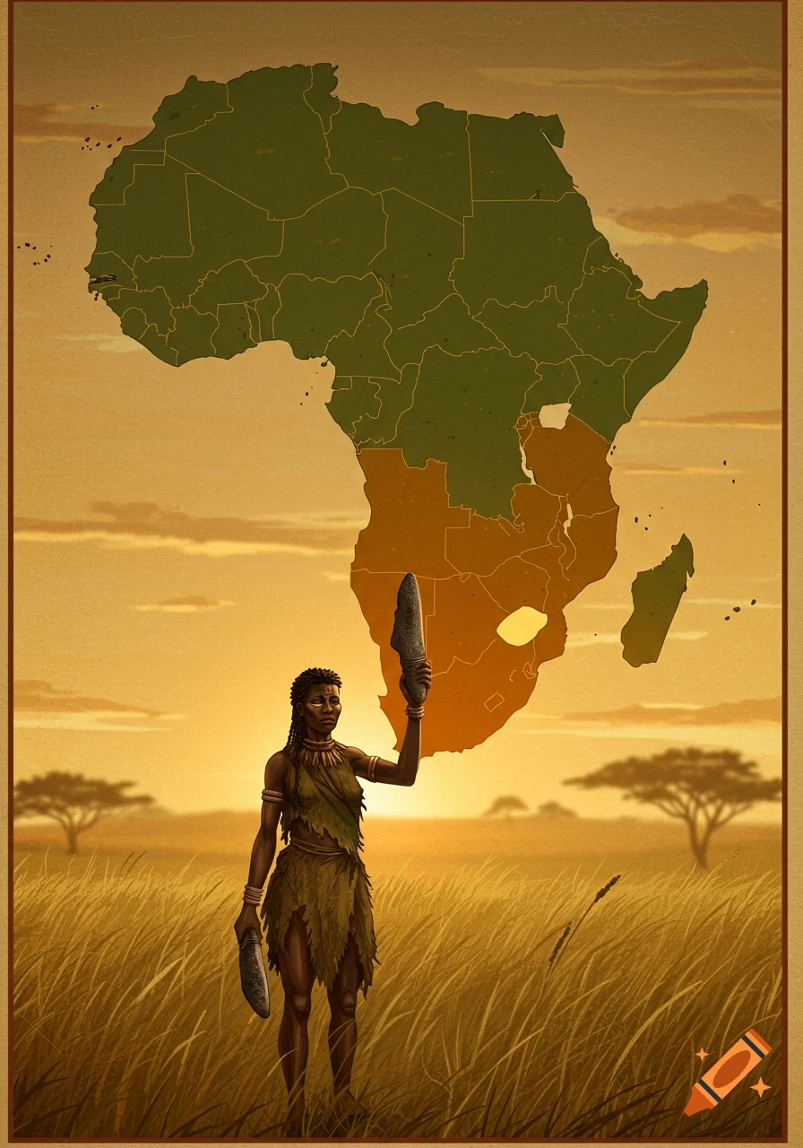
A map of Africa with a large, contiguous brown-highlighted region stretching across the continent's width.
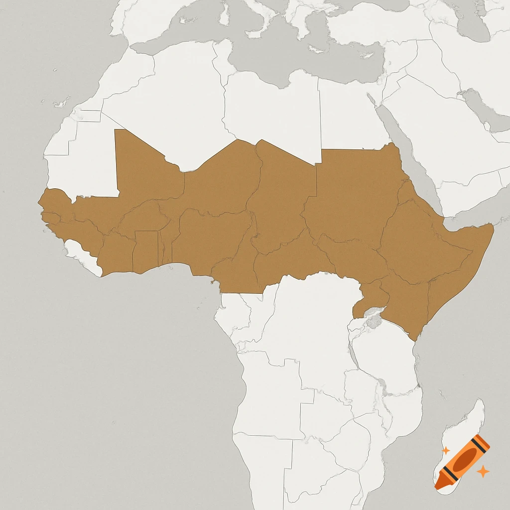
a map representation of this territory , highlighted on a global map of africa . Not artistic. An objective simple map : The territory encompass a vast, contiguous swath of the African continent. It would stretch from the Ethiopian Highlands and the Horn of Africa in the east, across the Sudanian Savanna belt through modern-day Sudan, South Sudan, Chad, and the Central African Republic. It would include the entire Lake Chad Basin, then extend westward across the Sahel through northern Nigeria, Niger, and into Mali, reaching the Upper Niger River valley. This bloc would control the majority of the Niger River's course and its great bend, along with the Volta River headwaters. The southern border would roughly follow the Adamawa Plateau and the northern fringes of the Congolian Rainforest, while the northern border would claim the entire Sahara Desert south of the Mediterranean coastal states, from the Atlantic Ocean to the Red Sea. See more